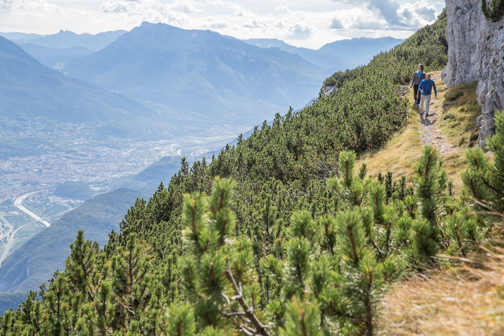
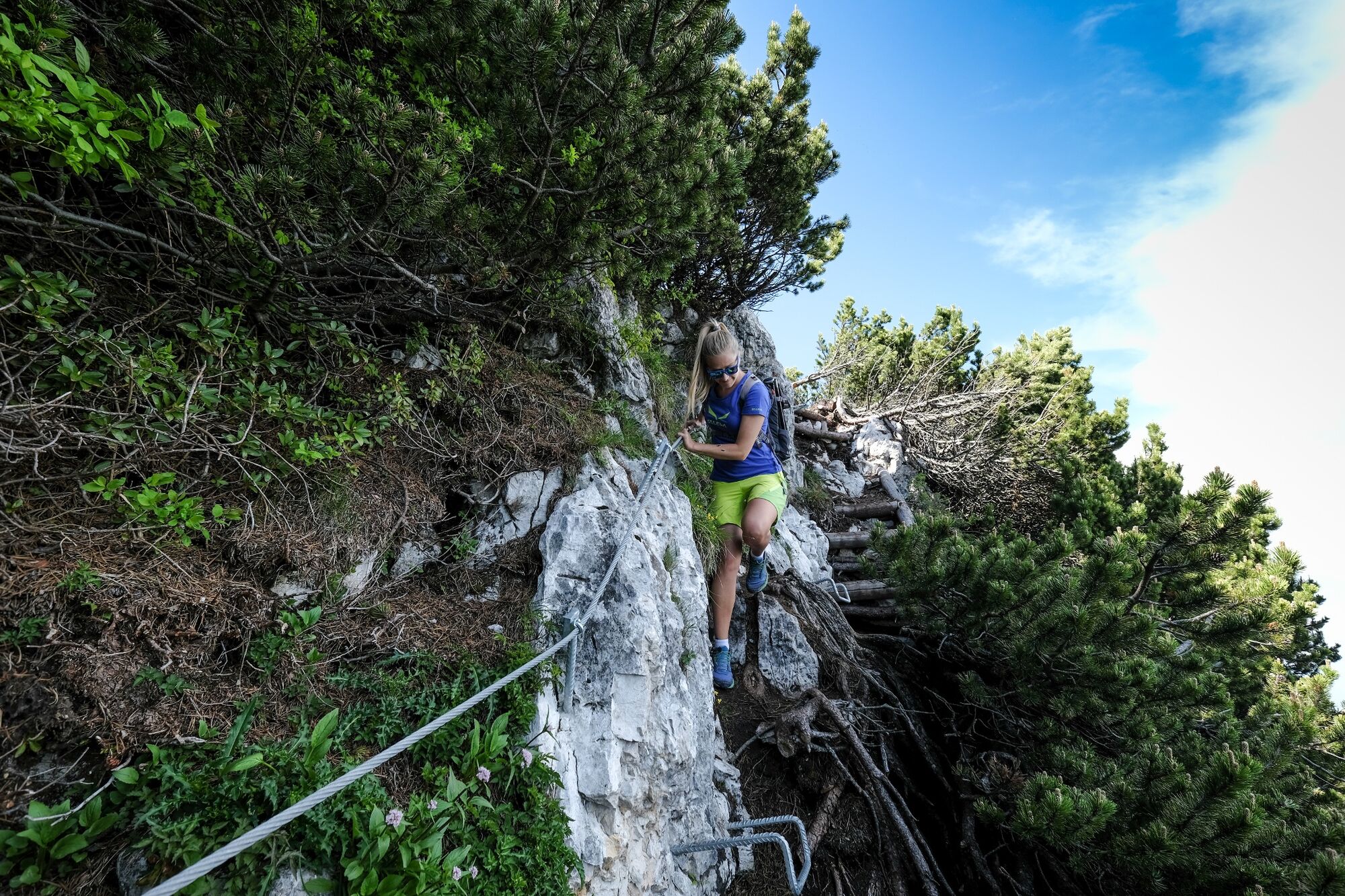
Sentiero delle Aquile e Sentiero Botanico (Eagles trail and botanic path)


© Dolomiti di Brenta e Paganella - ph. Multiweb.it

© Dolomiti di Brenta e Paganella - ph. Astrologo

© Dolomiti di Brenta e Paganella - ph. Modica

© Dolomiti di Brenta e Paganella - ph. Multiweb.it

© Dolomiti di Brenta e Paganella - ph. Multiweb.it

© Dolomiti di Brenta e Paganella - ph. Multiweb.it

© Dolomiti di Brenta e Paganella - ph. Multiweb.it

© Dolomiti di Brenta e Paganella - ph. Multiweb.it

© Dolomiti di Brenta e Paganella - ph. Multiweb.it

© Dolomiti di Brenta e Paganella - ph. Astrologo
- Kort beskrivning
-
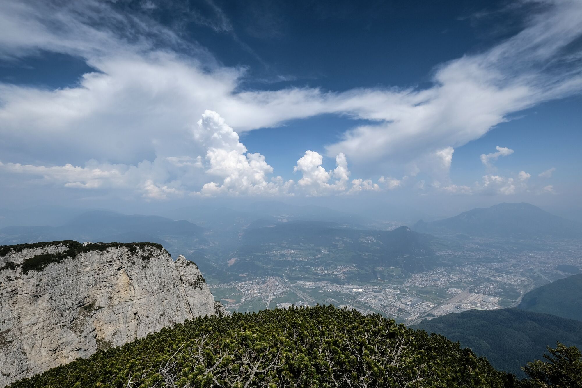
New panoramic walk on Paganella top.
- Svårighet
-
tung
- Utvärdering
-
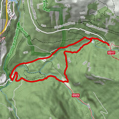
- Väg
-
La Roda (2.080 m)0,3 km
- Bästa säsongen
-
janfebmaraprmajjunjulaugsepoktnovdec
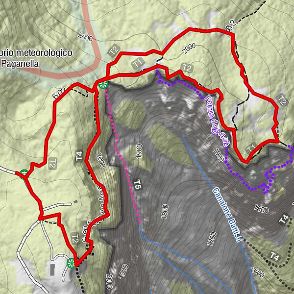
- Högsta punkt
- 2.089 m
- Destination
-
Cima Paganella
- Höjdprofil
-
 © outdooractive.com


-

-
FörfattareTurnén Sentiero delle Aquile e Sentiero Botanico (Eagles trail and botanic path) används av outdooractive.com förutsatt.
GPS Downloads


Allmän information
Förfriskningsstopp
Flora
Lovande
Fler turer i regionerna