© GaPa Tourismus - Bettina Plank

© GaPa Tourismus - Bettina Plank

- Kort beskrivning
-
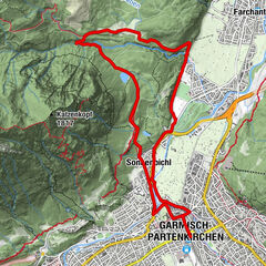
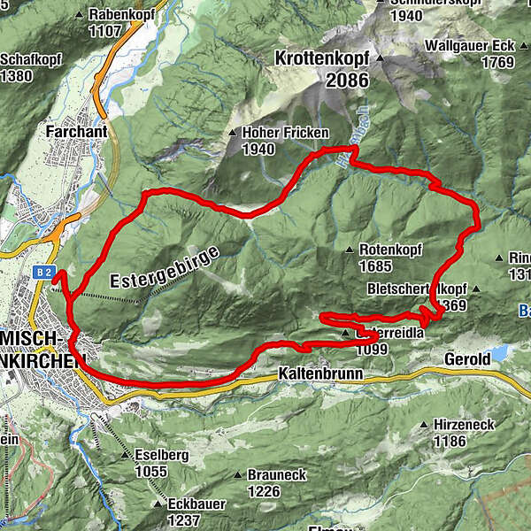
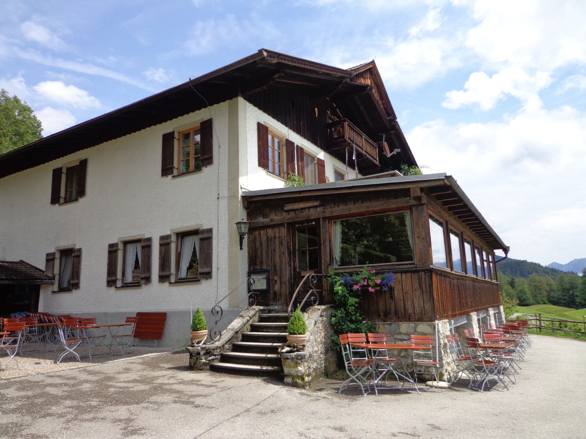
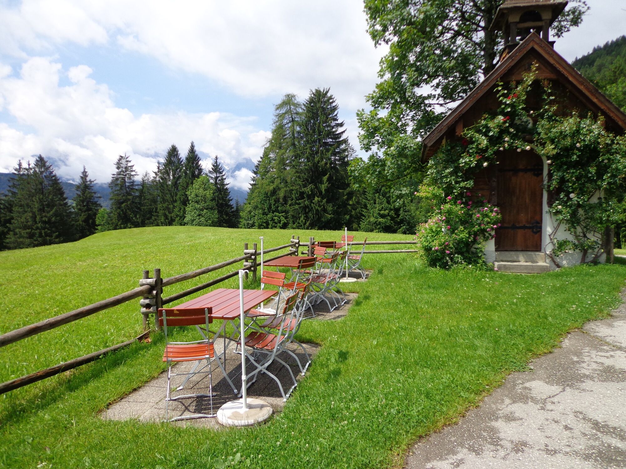
A beautiful, varied circular route through the Estergebirge Mountains with three Alpine huts to stop for refreshments – every wish can come true!
- Svårighet
-
tung
- Utvärdering
-
- Väg
-
Garmisch-Partenkirchen (708 m)0,9 kmDaxkapelle (964 m)2,1 kmEsterbergalm5,6 kmGschwandtnerbauer21,7 kmGarmisch-Partenkirchen (708 m)26,1 kmPfarrkirche Maria-Himmelfahrt26,3 kmPartenkirchen26,3 kmWallfahrtskirche St.Anton27,0 km
- Bästa säsongen
-
janfebmaraprmajjunjulaugsepoktnovdec
- Högsta punkt
- 1.293 m
- Destination
-
Bahnhof in Garmisch-Partenkirchen
- Höjdprofil
-
 © outdooractive.com
- Författare
-
Turnén Via the Esterbergalm to the Finzbachtal and Gschwandtnerbauer används av outdooractive.com förutsatt.
GPS Downloads


Allmän information
Förfriskningsstopp
Tips från insatta
Flora
Lovande
Fler turer i regionerna
-
Zugspitz Region
81
-
Farchant
26