© Interlaken Tourismus - Melanie Studer

© Interlaken Tourismus - Melanie Studer

- Kort beskrivning
-
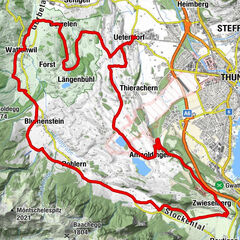
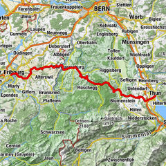
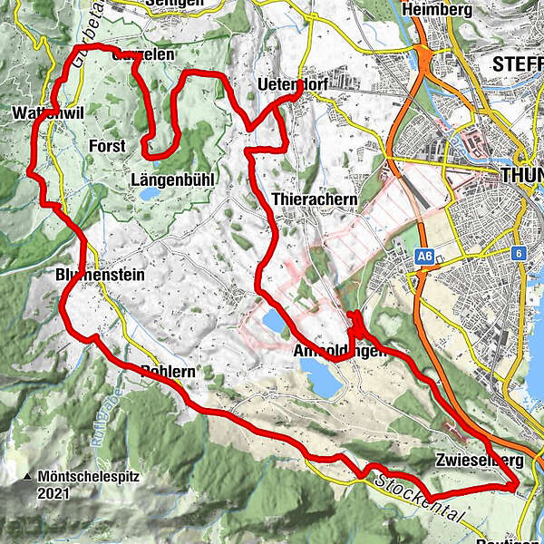
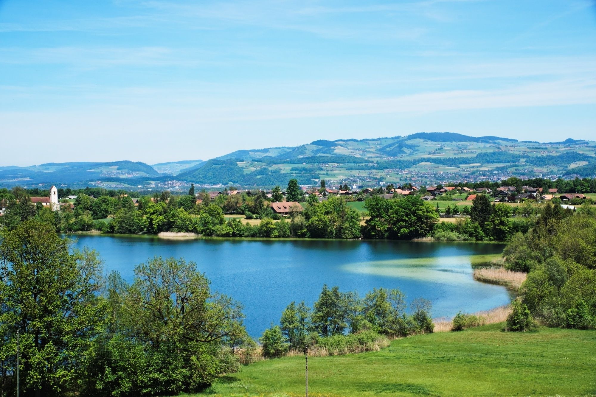
Ride over the Uetendorfberg until you reach the River Gürbe and Wattenwil, continuing along the northern flank of the Stockhorn range with magnificent views of the Stockental valley and Bernese Alps.
- Svårighet
-
medium
- Utvärdering
-
- Väg
-
Uetendorf (554 m)0,2 kmKreuz7,7 kmGurzelen (591 m)7,7 kmWattenwil (603 m)10,7 kmBlumenstein (659 m)14,7 kmPohlern (710 m)18,2 kmOberstocken (691 m)19,7 kmRestaurant Stockhorn21,4 kmNiederstocken (634 m)22,6 kmZwieselberg (660 m)27,1 kmAmsoldingen (637 m)33,5 kmUebeschi (685 m)35,9 kmGibliz39,5 kmWildenrütti39,7 kmUetendorf (554 m)40,3 km
- Bästa säsongen
-
janfebmaraprmajjunjulaugsepoktnovdec
- Högsta punkt
- 738 m
- Destination
-
Uetendorf
- Höjdprofil
-
 © outdooractive.com

- Författare
-
Turnén Stockental Route används av outdooractive.com förutsatt.
GPS Downloads


Allmän information
Kulturell/Historisk
Fler turer i regionerna