© Naturpark Gantrisch - René Michel

© Naturpark Gantrisch - René Michel

© Naturpark Gantrisch - René Michel

© Naturpark Gantrisch - René Michel

© Naturpark Gantrisch - René Michel

© Naturpark Gantrisch - René Michel

© Naturpark Gantrisch - René Michel

© Naturpark Gantrisch - René Michel

© Naturpark Gantrisch - René Michel

© Naturpark Gantrisch - René Michel

- Kort beskrivning
-
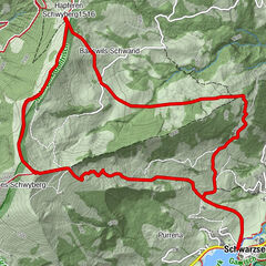
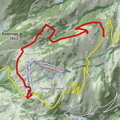
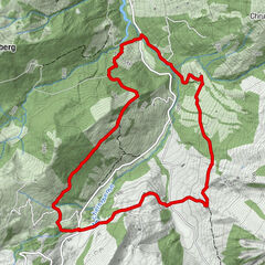
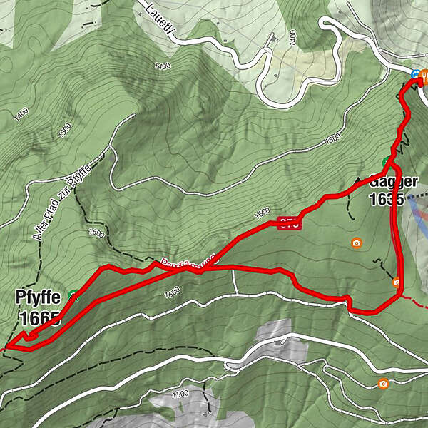
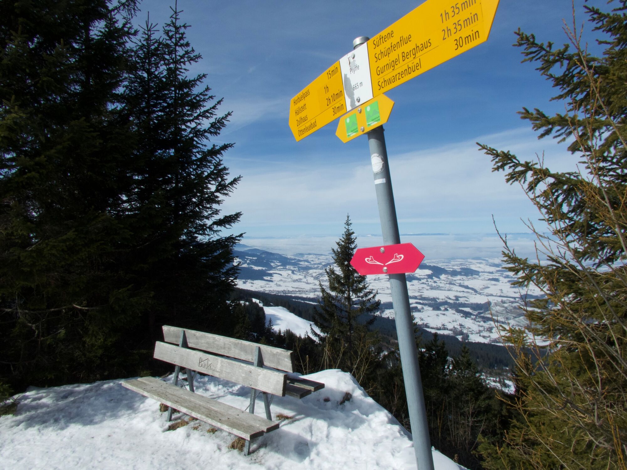
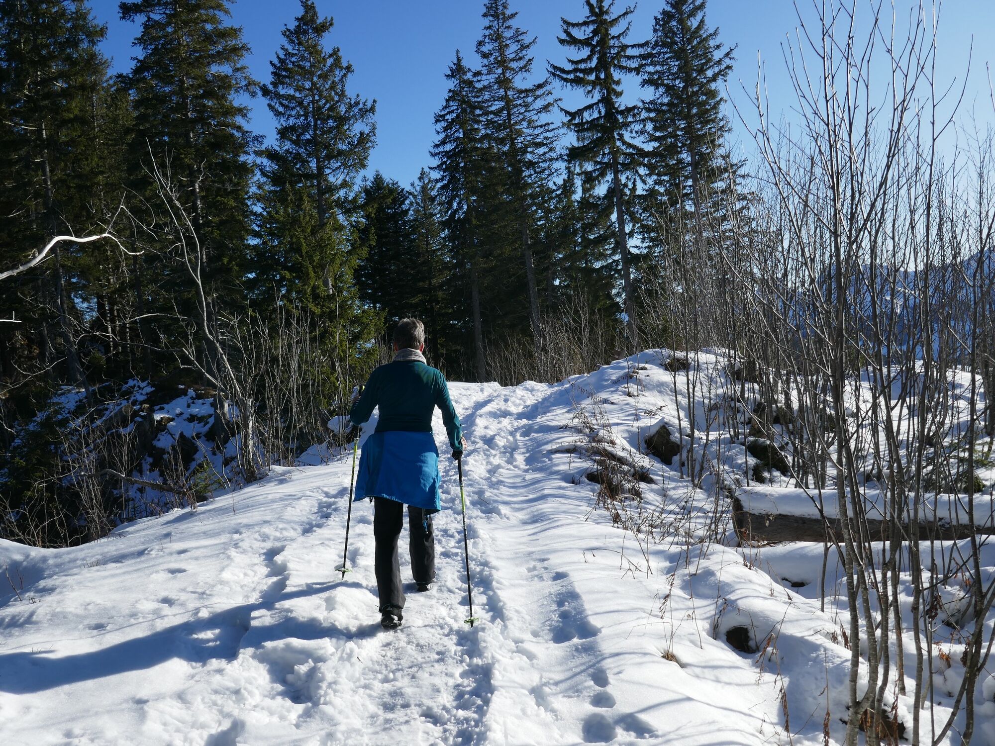
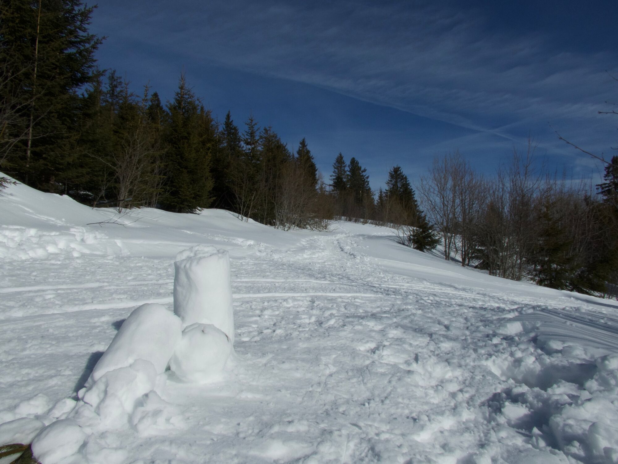
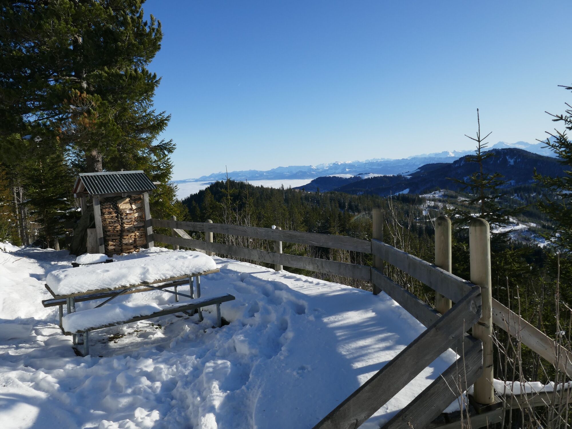
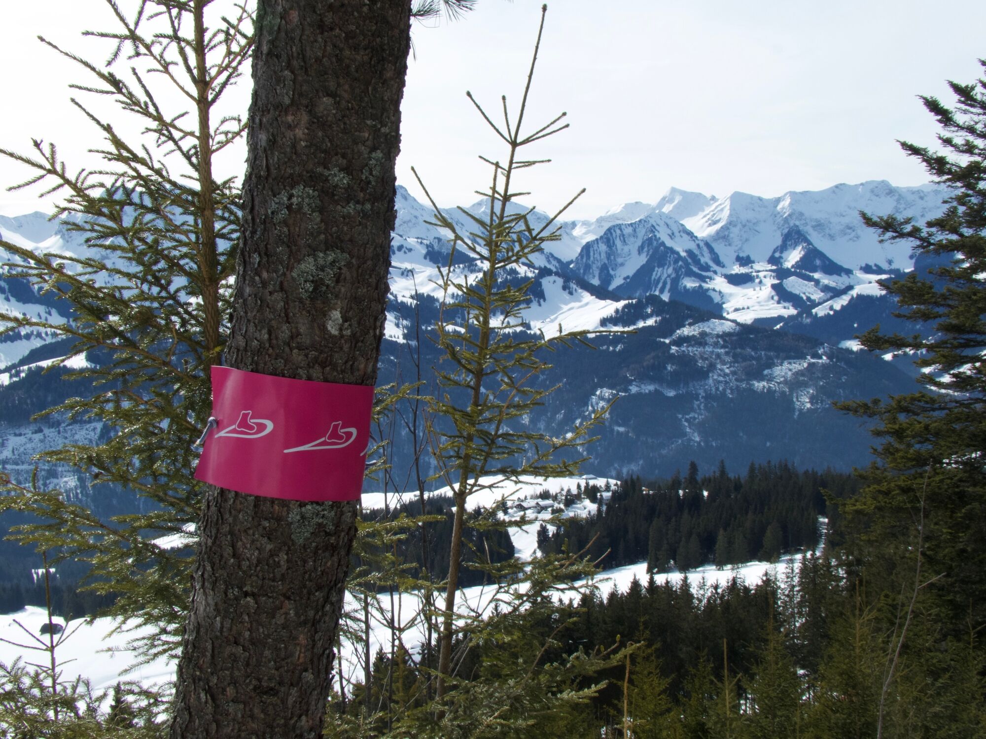
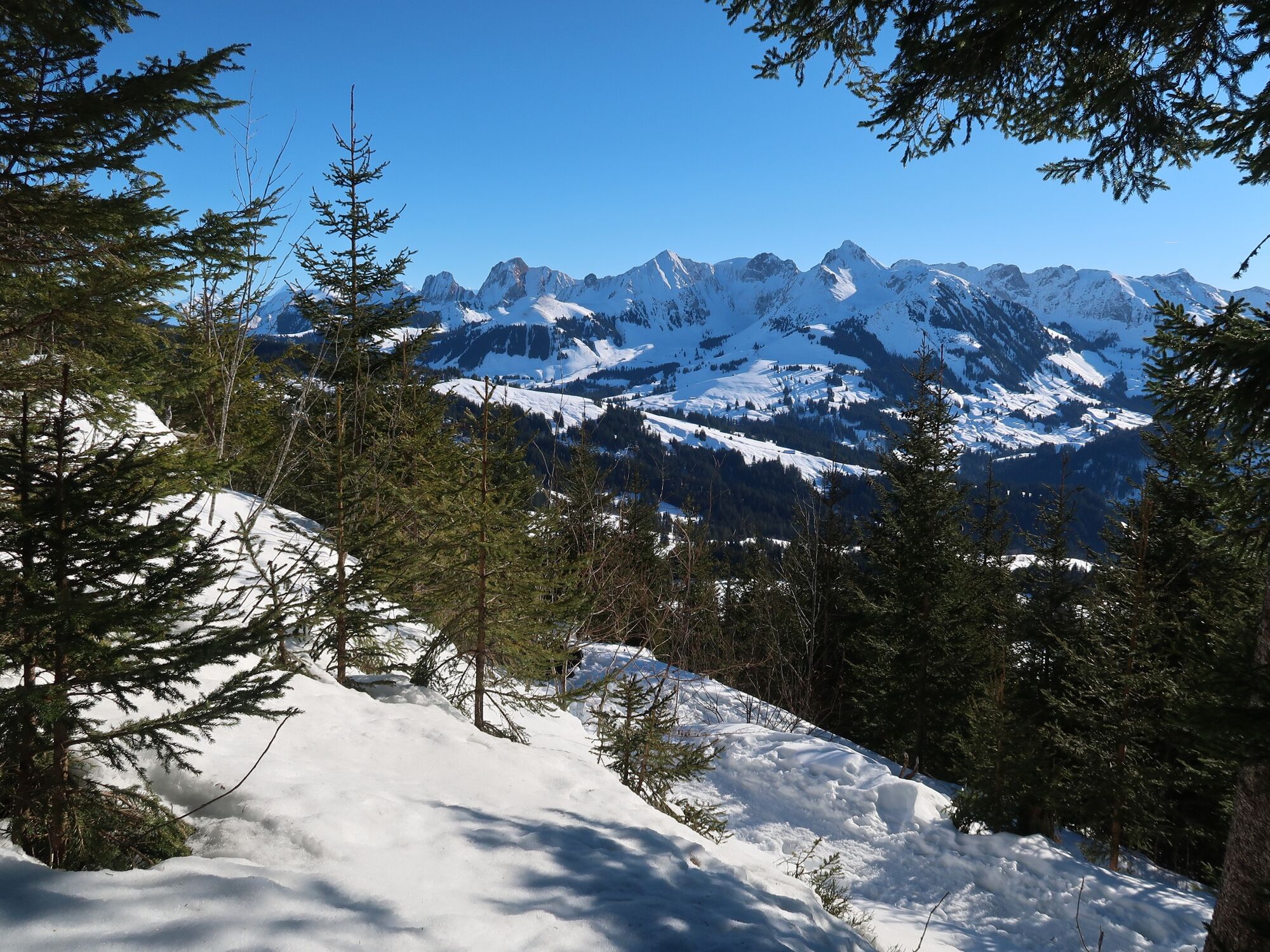
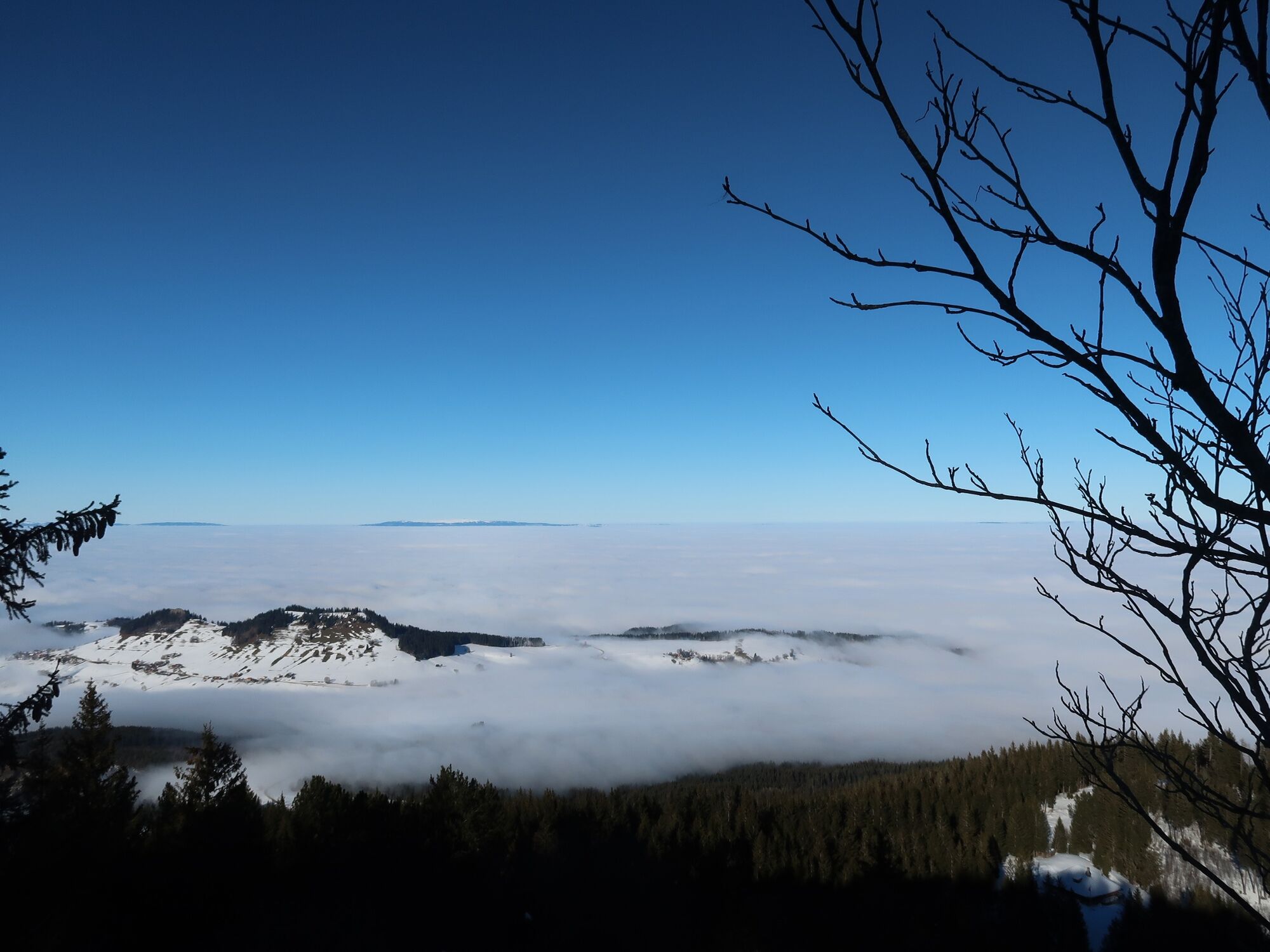
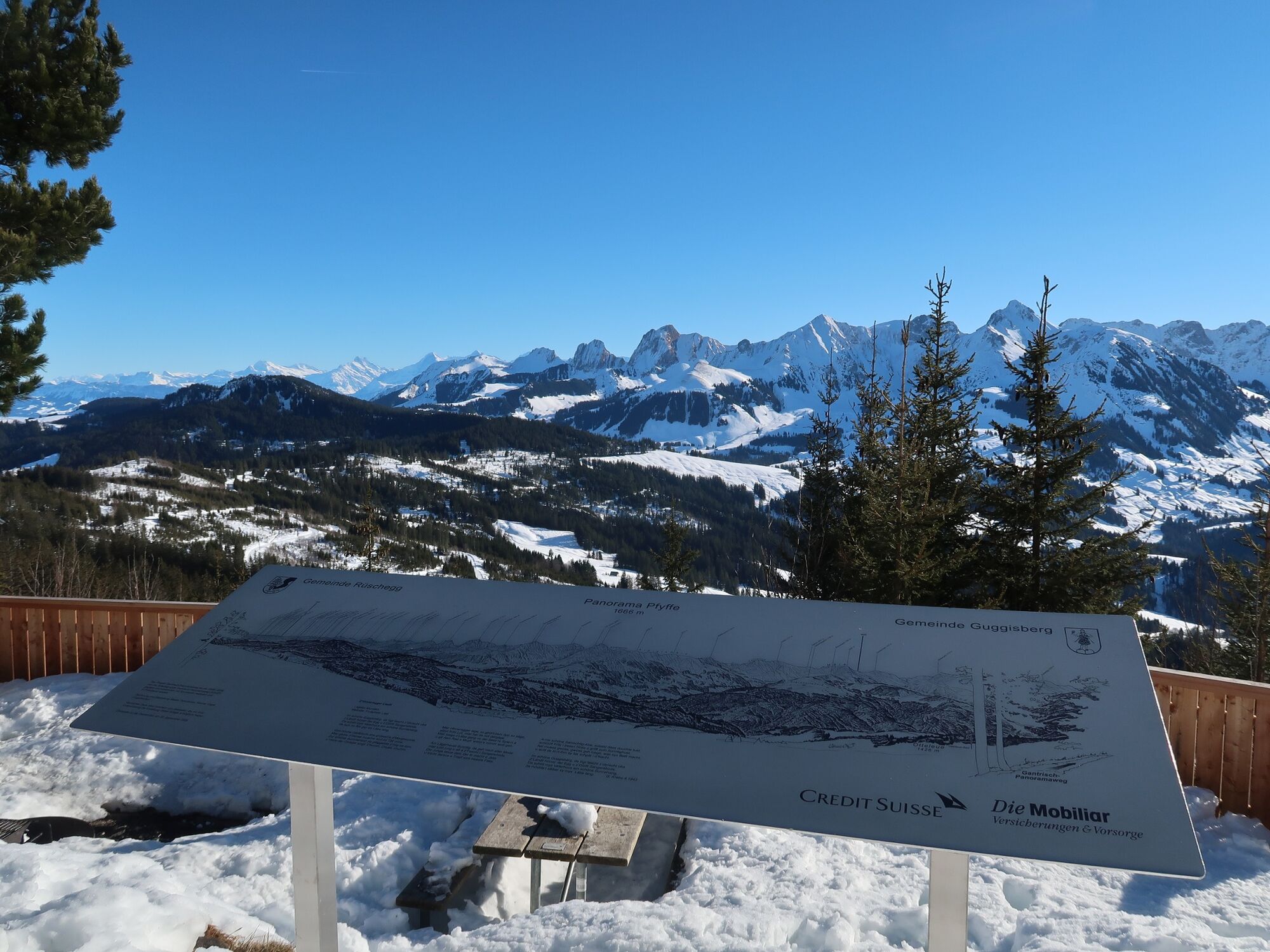
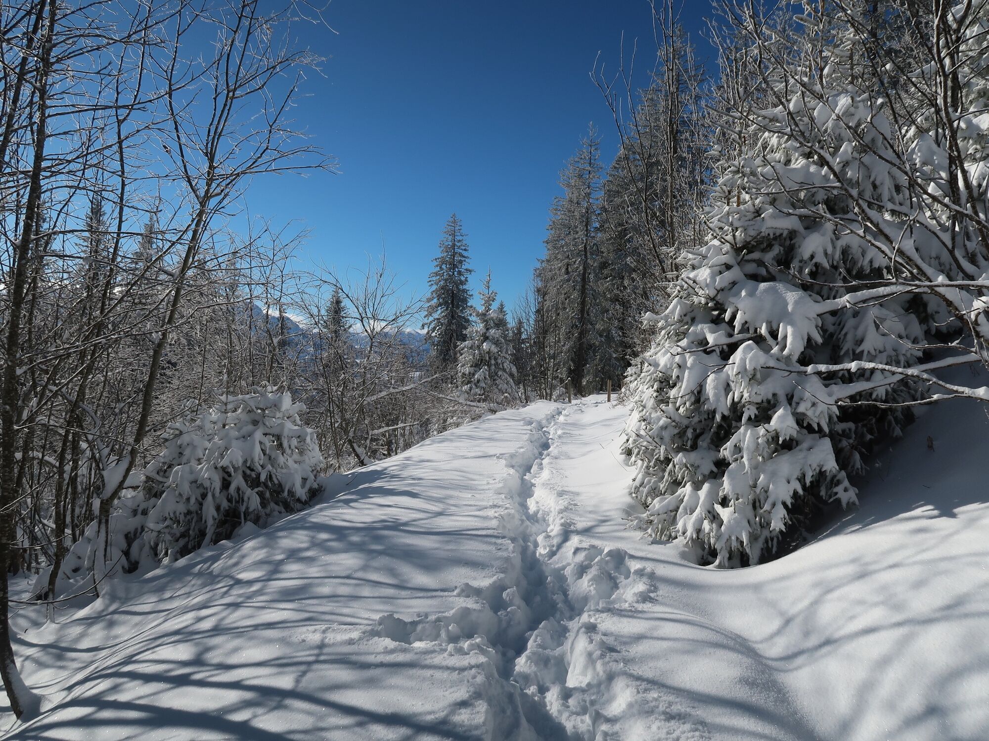
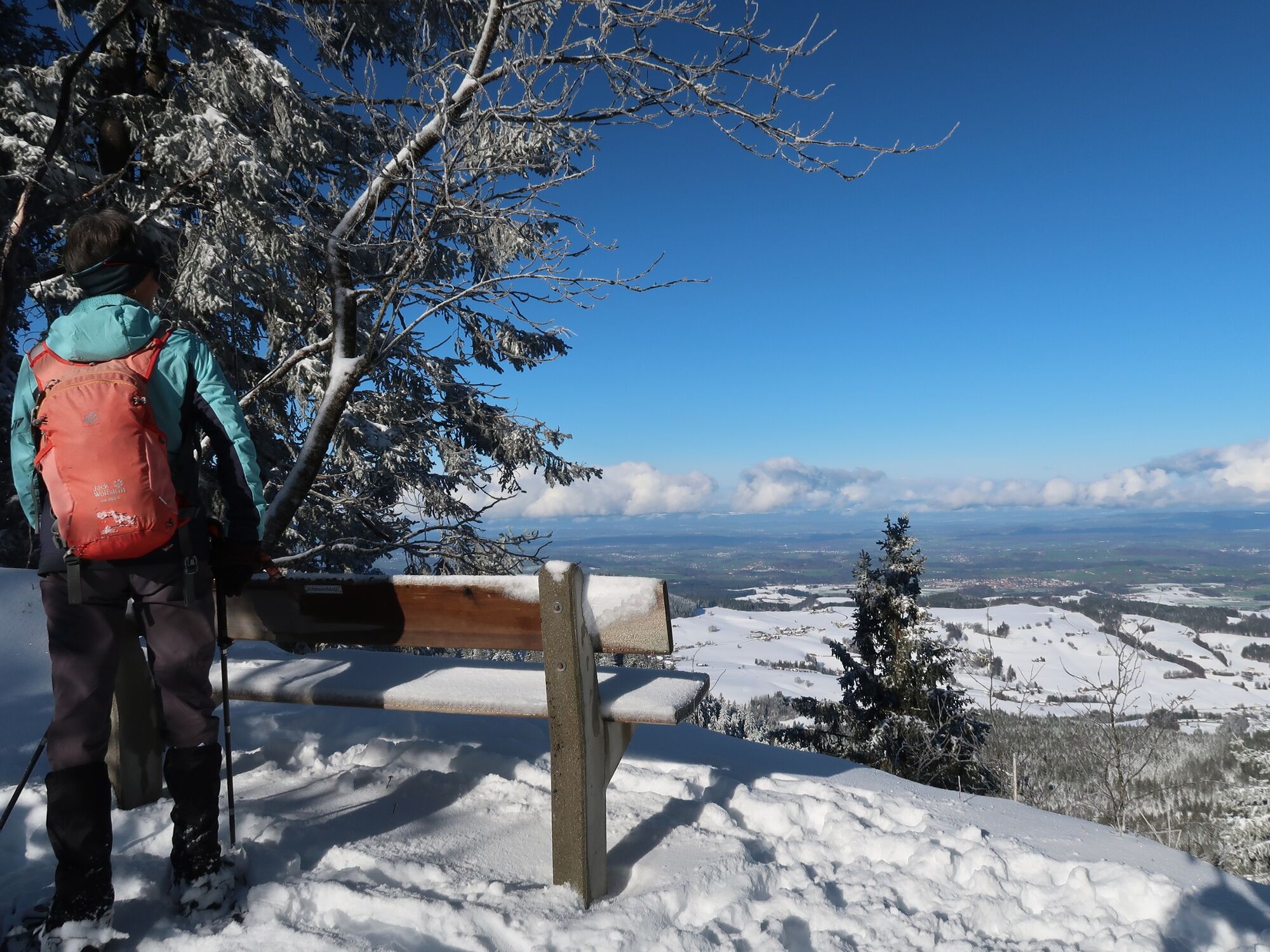
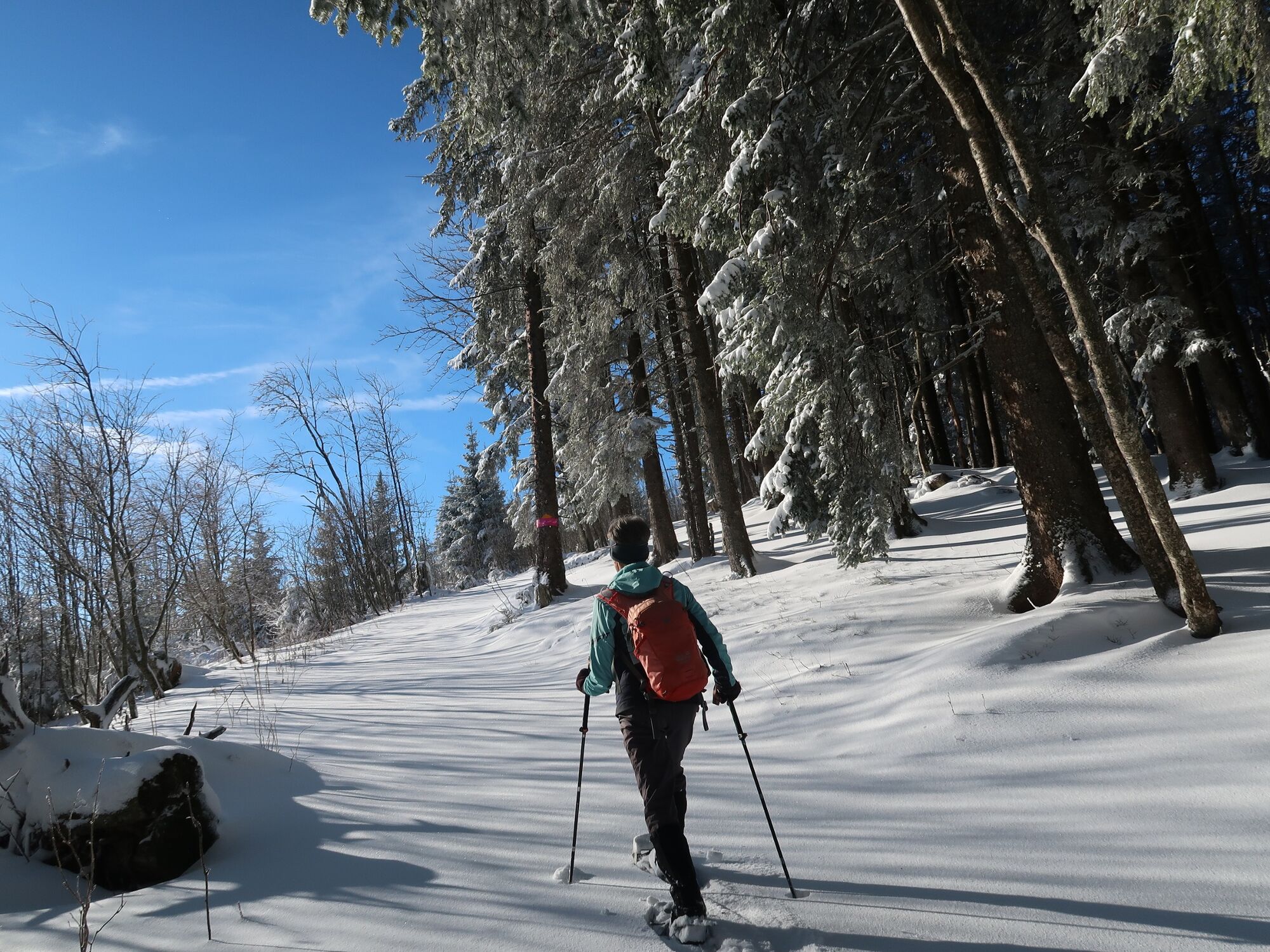
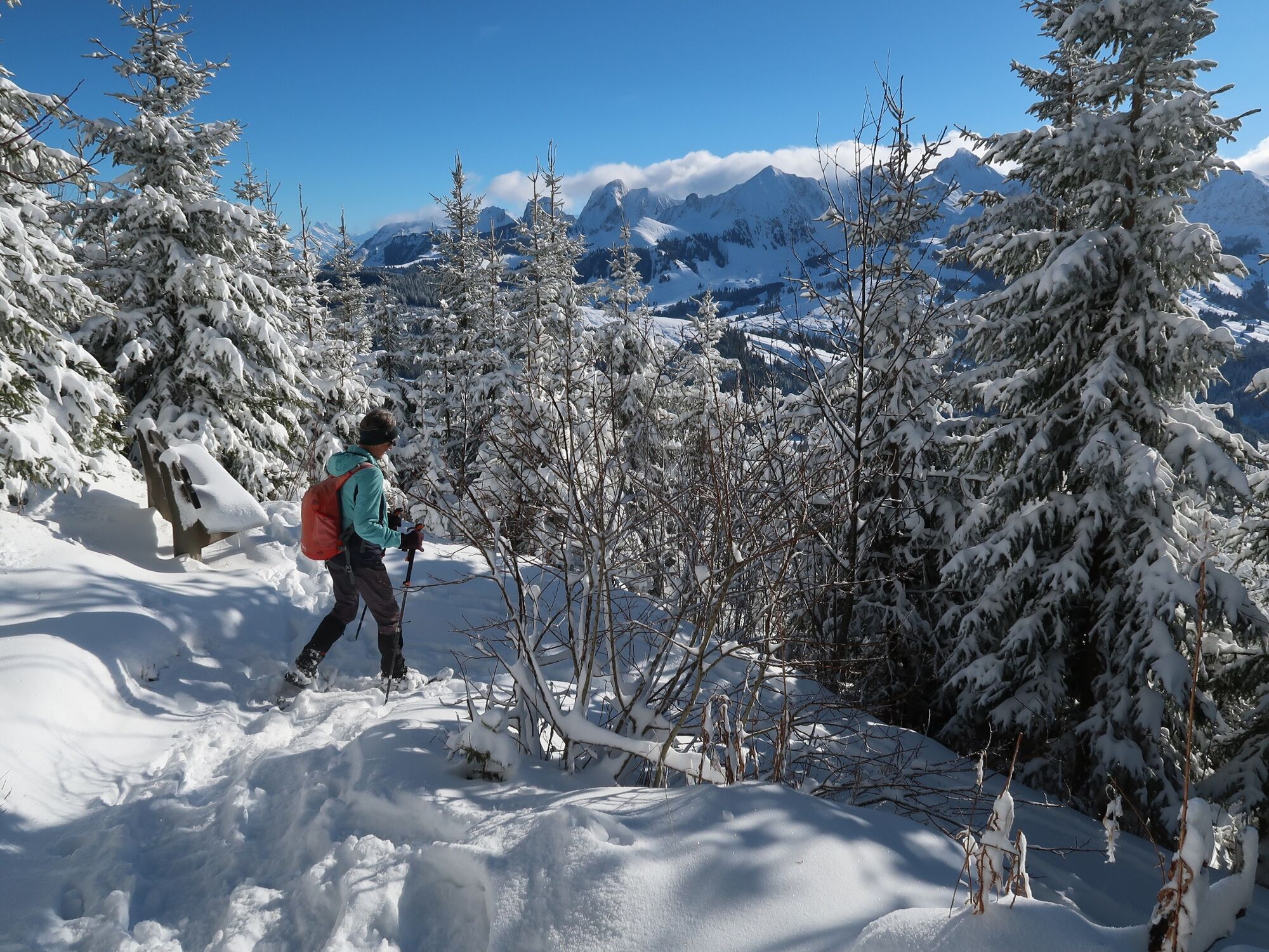
The snow-covered landscape around the Pfyffe and the Gägger offers ideal conditions for snowshoe walkers. The marked circular trail in the shape of a figure of eight can be followed in all directions.
- Svårighet
-
medium
- Utvärdering
-
- Väg
-
Schwarzenbühl0,0 kmGägger (1.635 m)0,5 kmPfyffe (1.665 m)1,5 kmHuuryiplatz1,8 kmGägger (1.635 m)3,6 kmSchwarzenbühl3,9 km
- Bästa säsongen
-
augsepoktnovdecjanfebmaraprmajjunjul
- Högsta punkt
- 1.660 m
- Destination
-
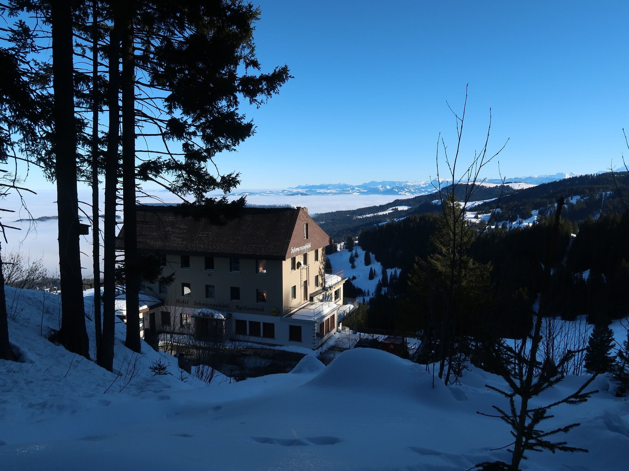
Schwarzenbühl (altitude: 1491 m)
- Höjdprofil
-
 © outdooractive.com

- Författare
-
Turnén Schwarzenbühl Panorama Trail (SwitzerlandMobility 112) används av outdooractive.com förutsatt.
GPS Downloads


Allmän information
Förfriskningsstopp
Lovande
Fler turer i regionerna