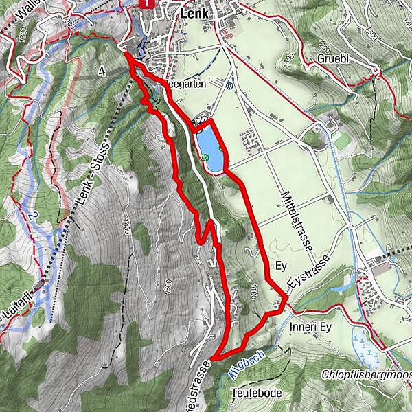
Bottom station Betelberg - Seefluh - Staldengässli - bottom station Betelberg (signposted)

© Lenk-Simmental Tourismus AG - Lenk-Simmental Tourismus
- Kort beskrivning
-
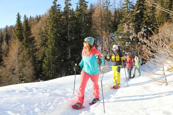
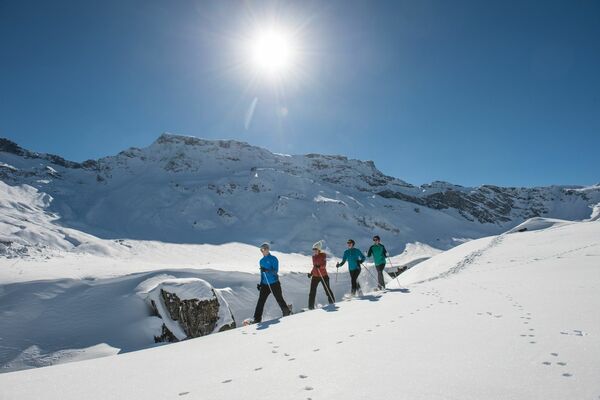
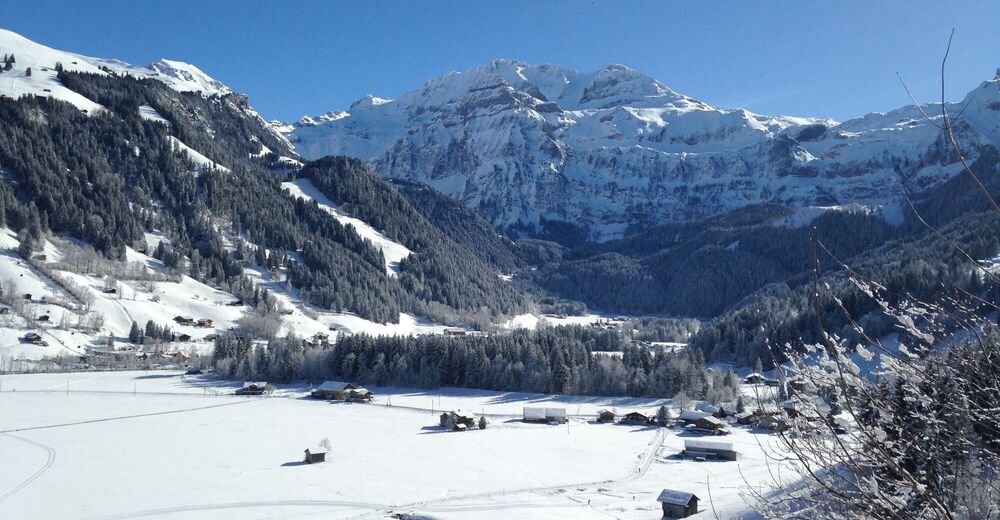
Snowshoe tour near the village via Seefluh through Pöschenried to Lenkerseeli. This tour combines winter hiking and snowshoeing.
- Svårighet
-
medium
- Utvärdering
-
- Väg
-
Lenk (1.068 m)Lenk (1.068 m)5,2 km
- Bästa säsongen
-
augsepoktnovdecjanfebmaraprmajjunjul
- Högsta punkt
- 1.215 m
- Destination
-
Valley station Betelberg
- Höjdprofil
-
 © outdooractive.com

- Författare
-
Turnén Bottom station Betelberg - Seefluh - Staldengässli - bottom station Betelberg (signposted) används av outdooractive.com förutsatt.
GPS Downloads


Allmän information
Tips från insatta
Lovande
Fler turer i regionerna
-
Thyon les Collons
106
-
Adelboden
98
-
Lenk im Simmental
32