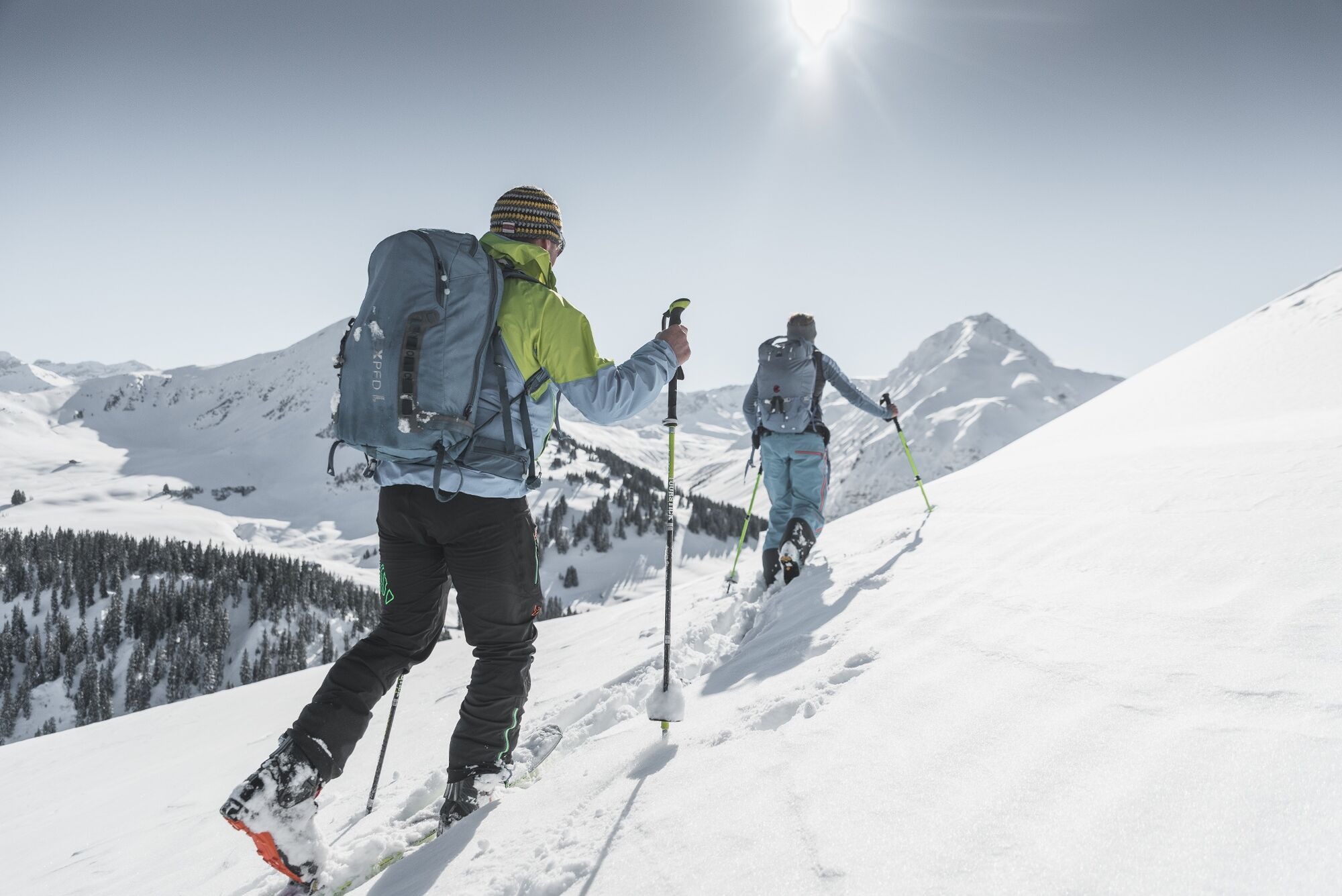
© Destination Gstaad - Destination Gstaad / Melanie Uhkoetter
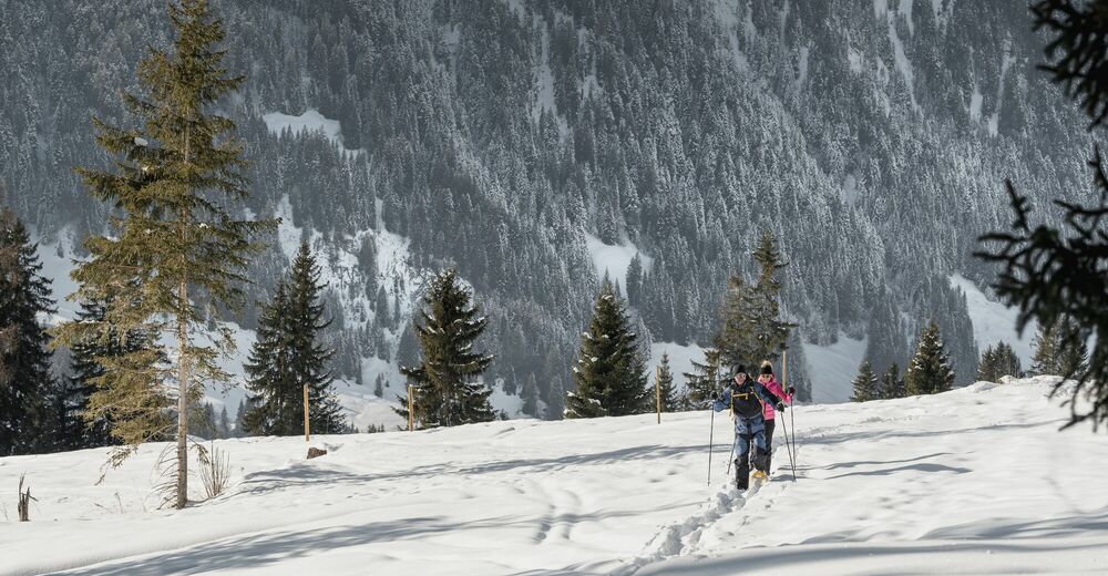
© Destination Gstaad - Destination Gstaad / Melanie Uhkoetter

© Destination Gstaad - Destination Gstaad / Melanie Uhkoetter
- Kort beskrivning
-
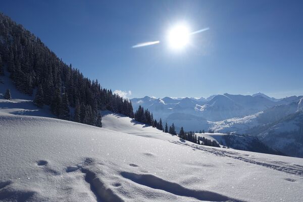
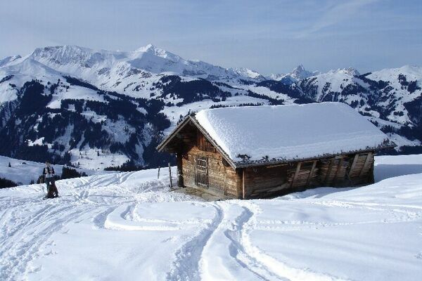
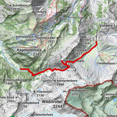
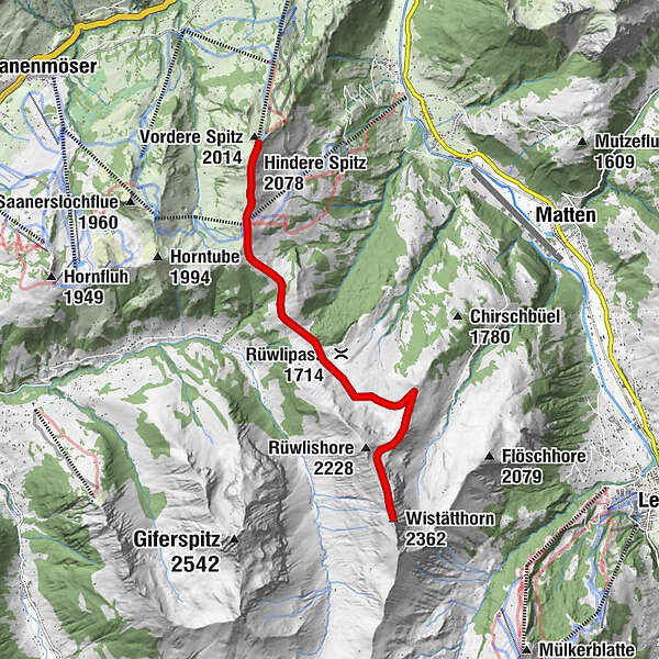
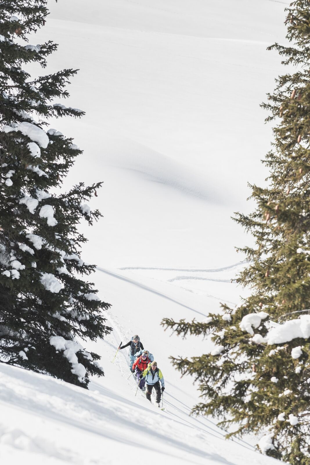
Beautiful freetouring route from the Rinderberg mountain station via the Gandlouene ridge - Rüwlisepass - Oberer Laseberg - Wistätthorn and subsequent freeride descent to St. Stephan or Turbach.
- Svårighet
-
medium
- Utvärdering
-
- Väg
-
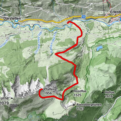
Bergrestaurant Rinderberg-SpitzHindere Spitz (2.078 m)0,3 kmParwengesattel (1.988 m)1,2 kmWistätthorn (2.362 m)8,1 km
- Bästa säsongen
-
augsepoktnovdecjanfebmaraprmajjunjul
- Högsta punkt
- 2.360 m
- Destination
-
Wistätthorn
- Exposition
- Höjdprofil
-
 © outdooractive.com

-

-
FörfattareTurnén Rinderberg - Wistätthorn (2362 M.Ü.M) används av outdooractive.com förutsatt.
GPS Downloads


Allmän information
Förfriskningsstopp
Lovande
Fler turer i regionerna