© Berner Wanderwege - Markus Schluep

© Berner Wanderwege - Markus Schluep

© Berner Wanderwege - Markus Schluep


© Berner Wanderwege - Markus Schluep

© Berner Wanderwege - Markus Schluep

© Berner Wanderwege - Markus Schluep

- Kort beskrivning
-
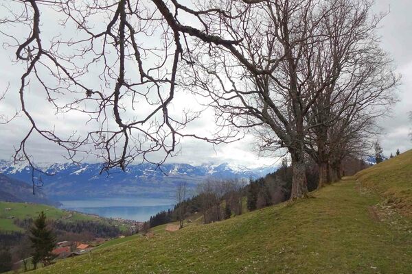
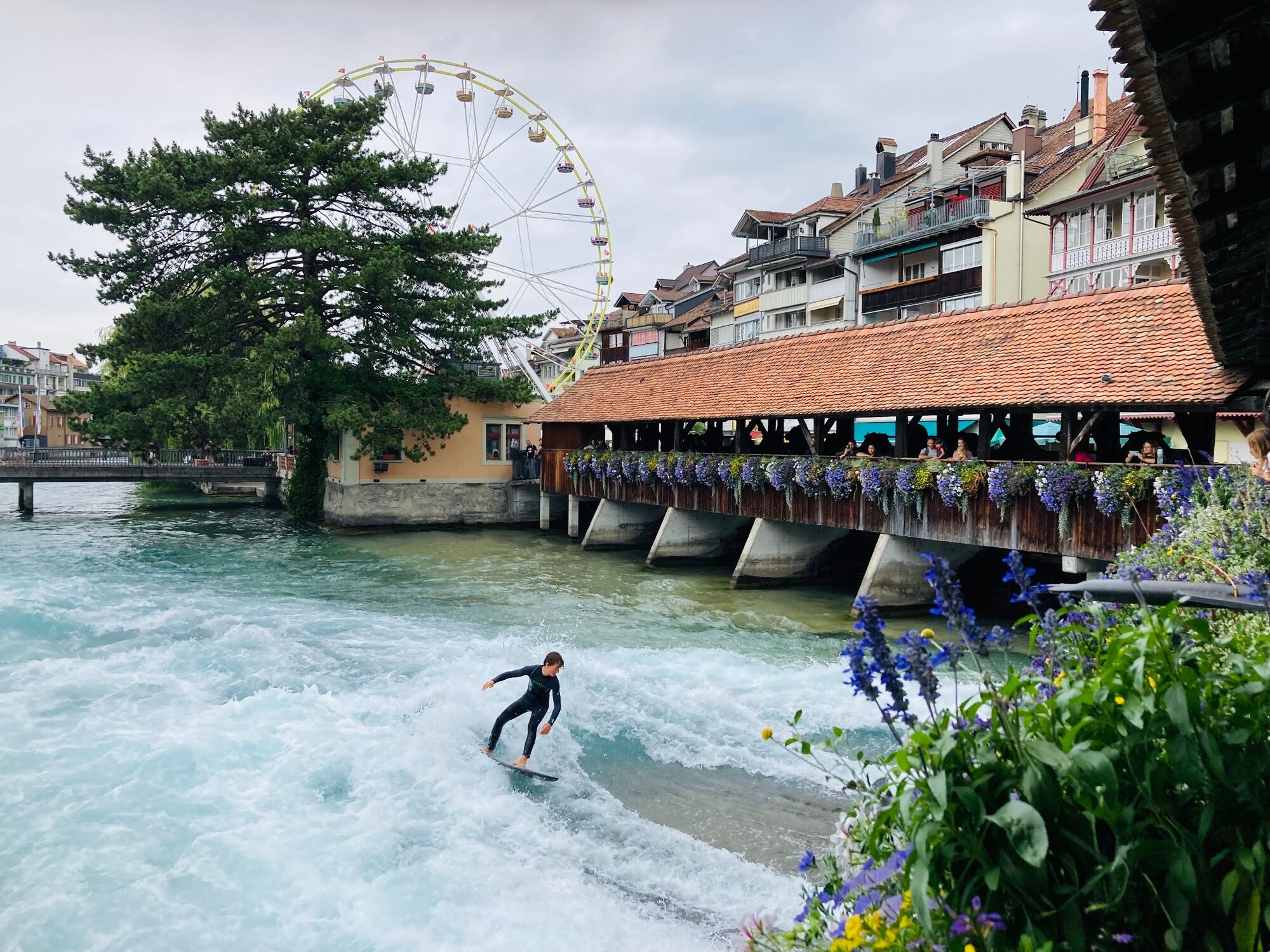
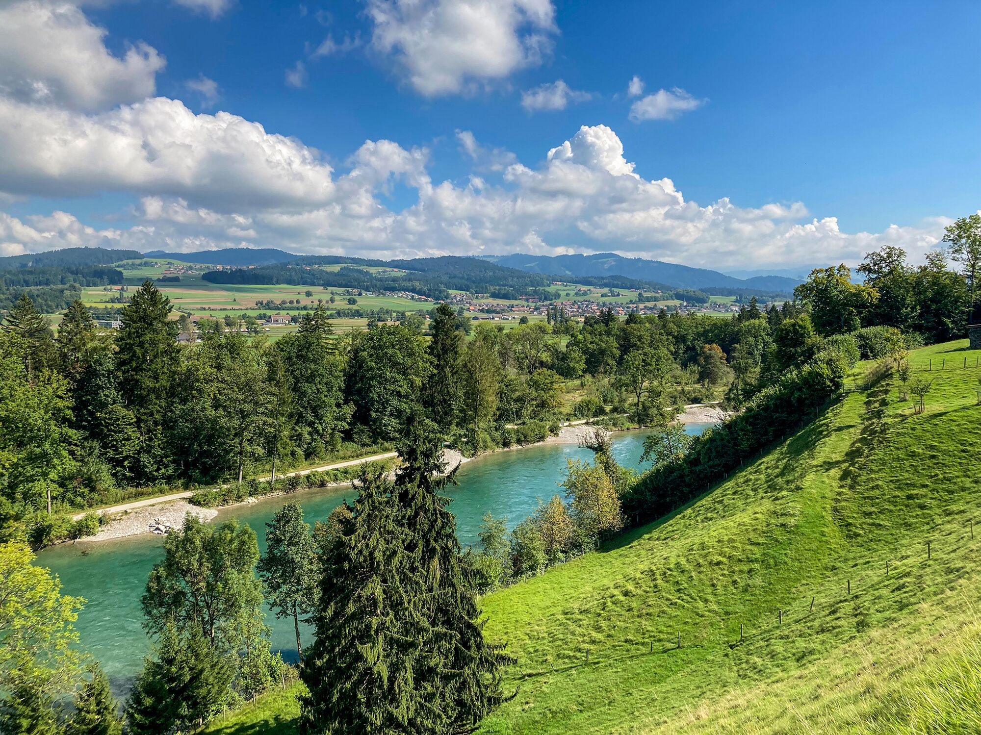
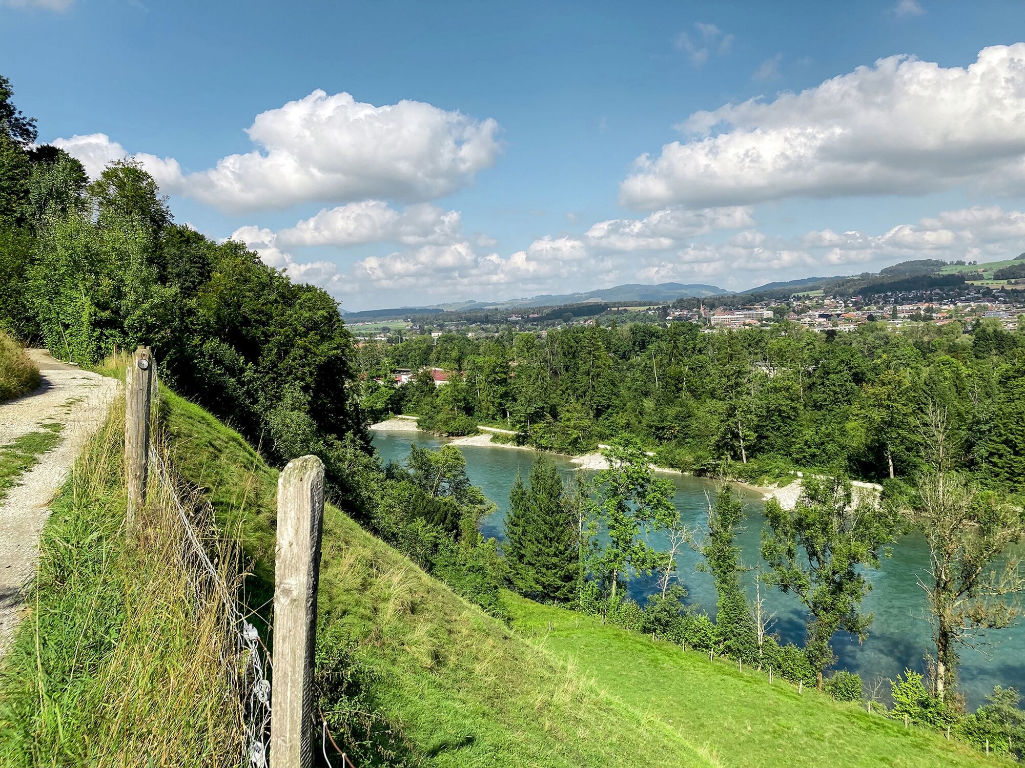
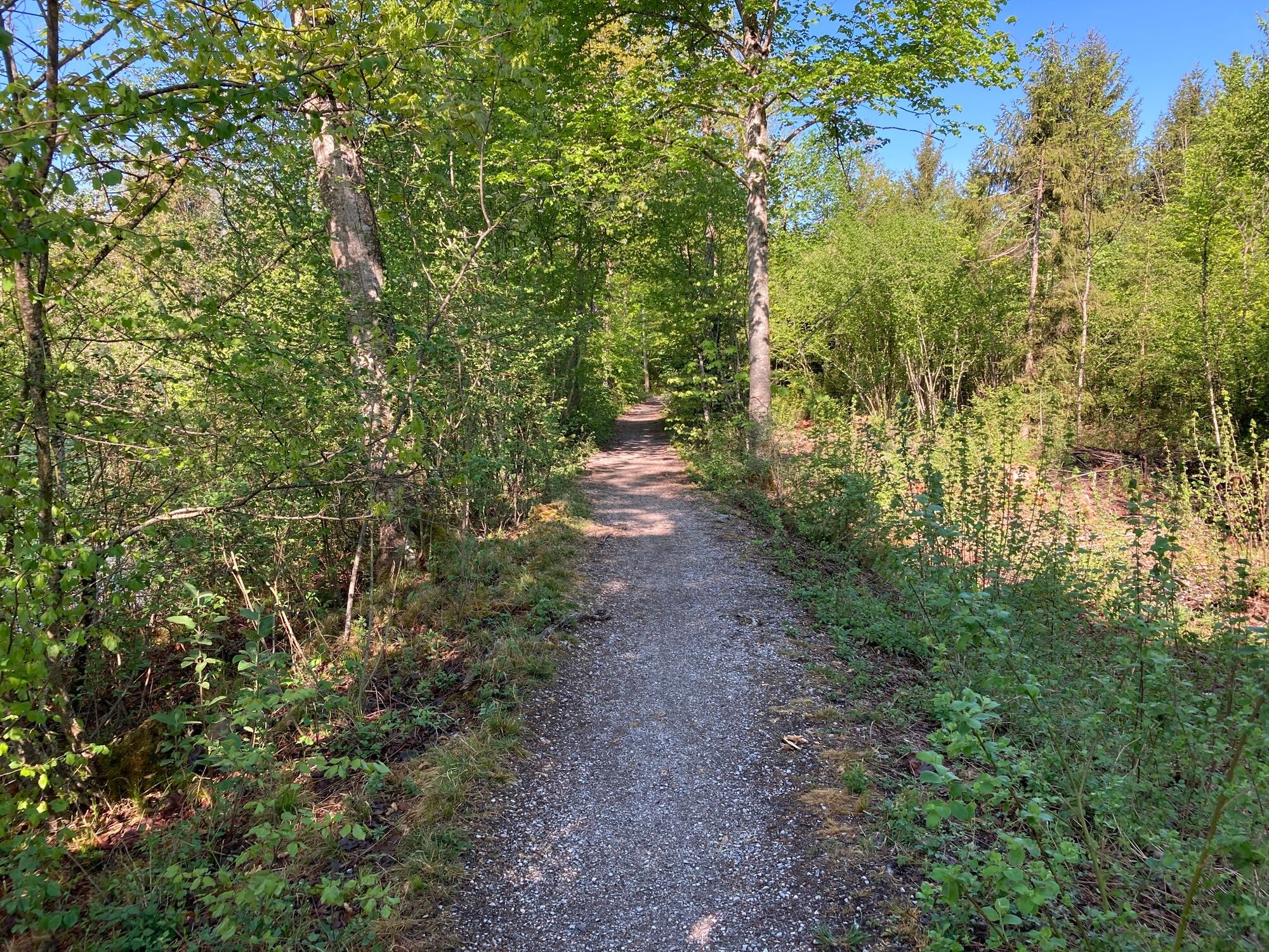
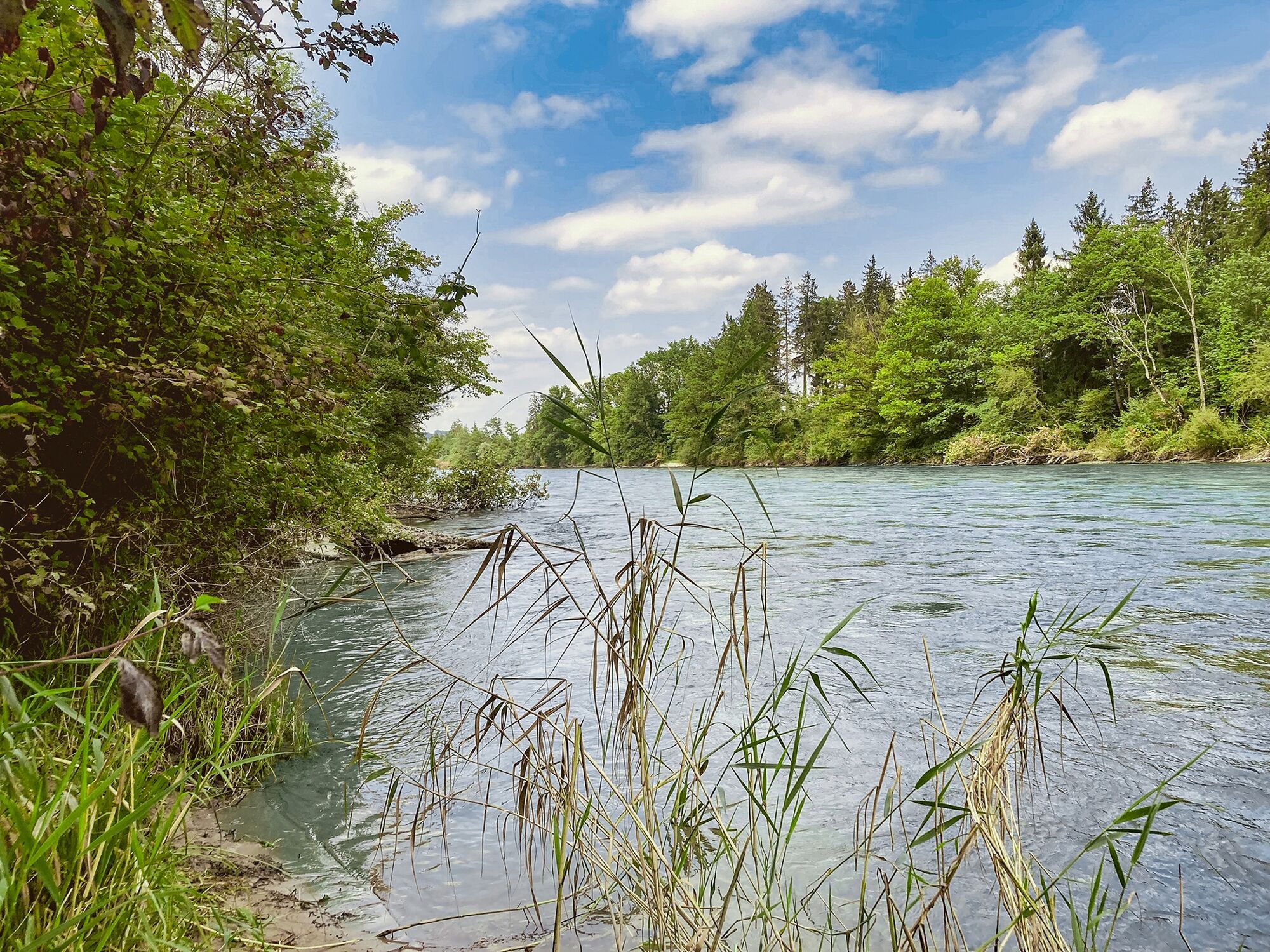
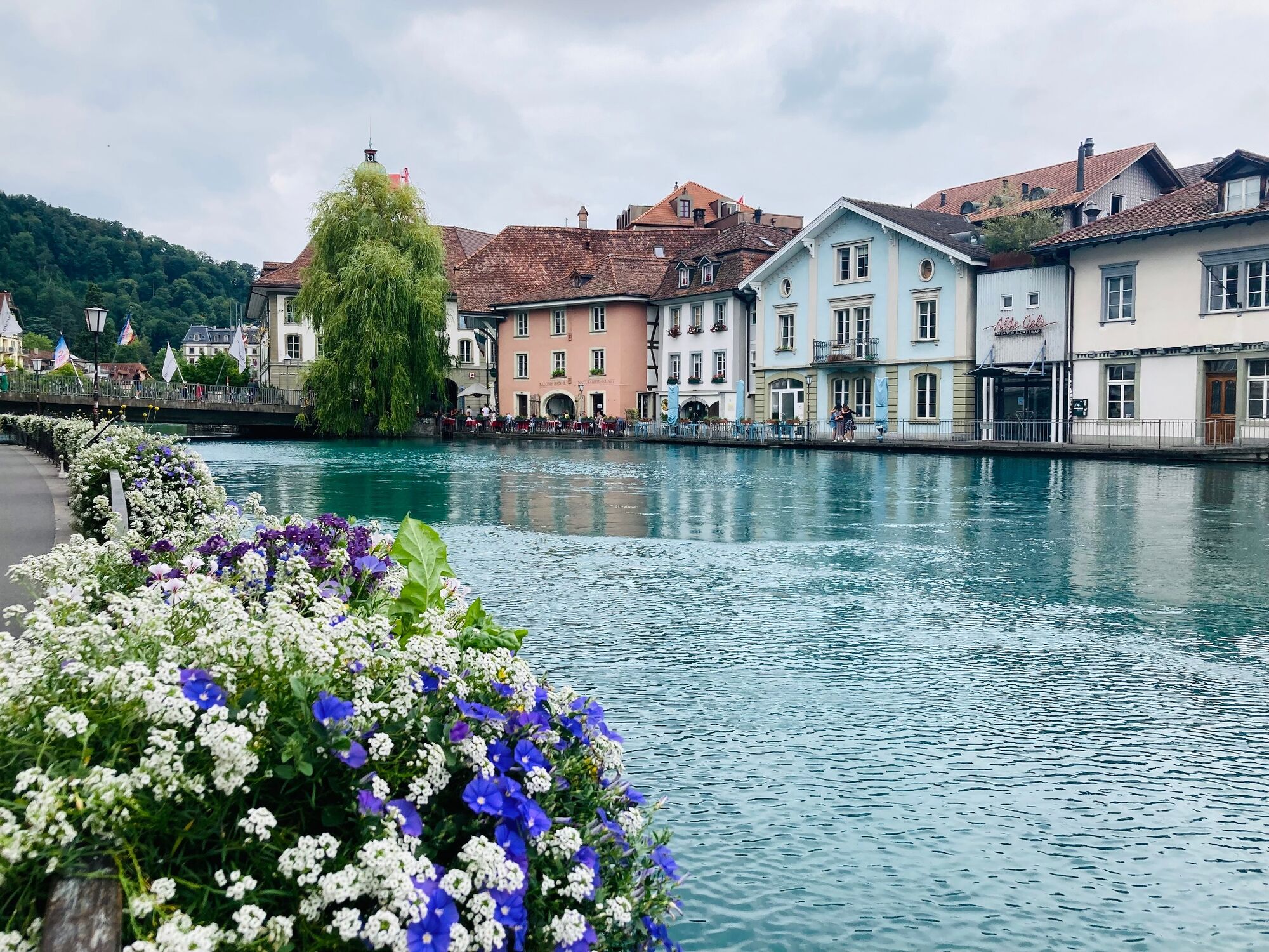
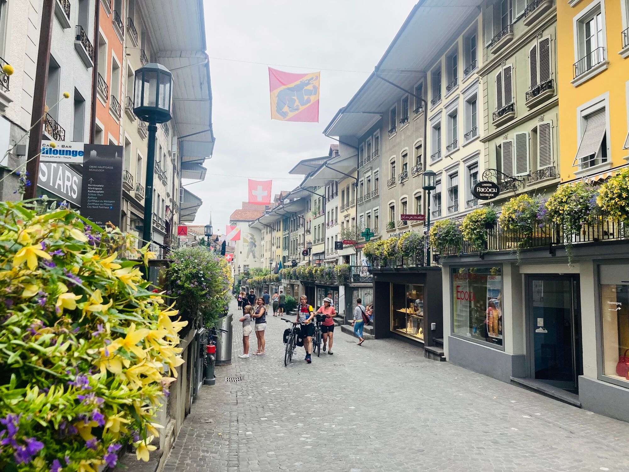
This glorious riverside hike leads through one of Switzerland’s most beautiful riparian landscapes and gives views over the Bernese Alps. The destination is Thun, the town on the Aare and on the lake, the gateway to the Bernese Oberland.
- Svårighet
-
medium
- Utvärdering
-
- Väg
-
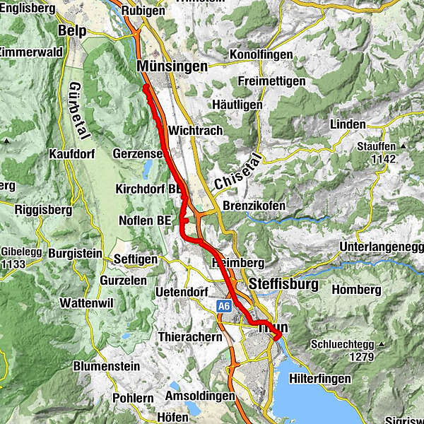
Münsingen (541 m)Landgasthof Thalgut4,2 kmJaberg (540 m)6,2 kmUttigen (544 m)10,0 kmKaliforni13,3 kmAarefeld13,8 kmThun (560 m)16,0 km
- Bästa säsongen
-
janfebmaraprmajjunjulaugsepoktnovdec
- Högsta punkt
- 562 m
- Destination
-
Thun, railway station
- Höjdprofil
-
 © outdooractive.com
-

-
FörfattareTurnén ViaBerna - stage 10 Münsingen - Thun används av outdooractive.com förutsatt.
GPS Downloads


Allmän information
Förfriskningsstopp
Fauna
Fler turer i regionerna
-
Biel Seeland
781
-
Eriztal
959
-
Uttigen
200