© Zadar Region Tourist Board - Vedran Metelko
© Zadar Region Tourist Board - Vedran Metelko
© Zadar Region Tourist Board - Vedran Metelko
© Zadar Region Tourist Board - Vedran Metelko
© Zadar Region Tourist Board - Vedran Metelko


- Kort beskrivning
-
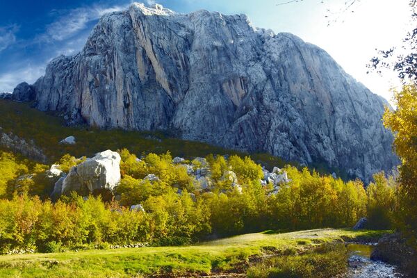
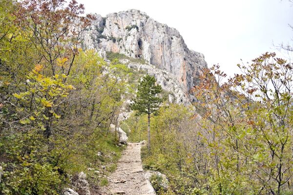
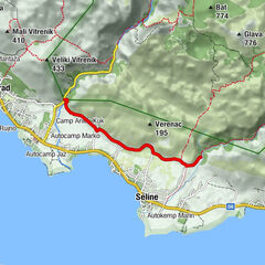
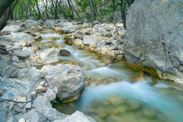
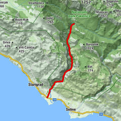
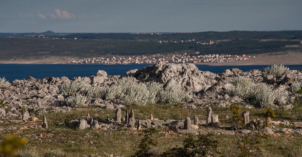
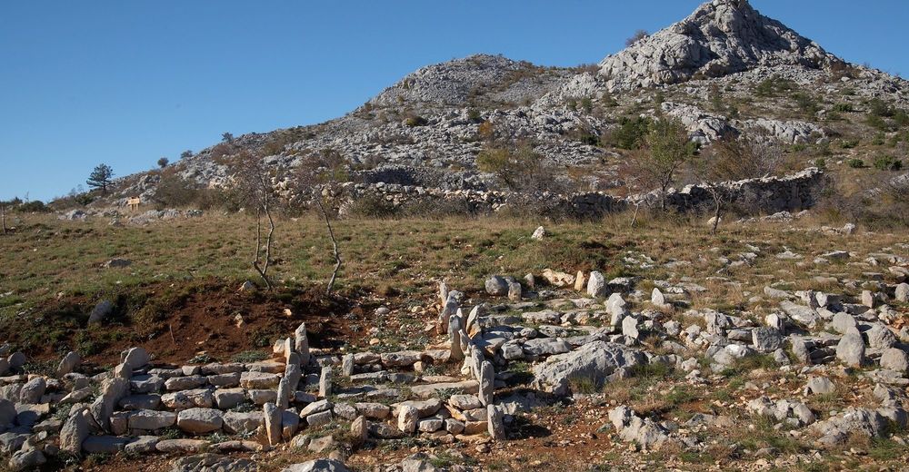
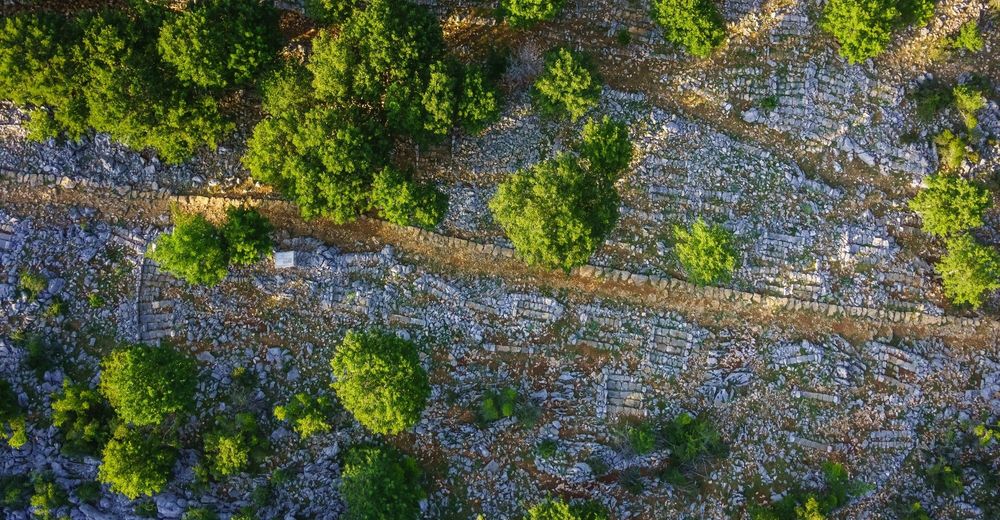
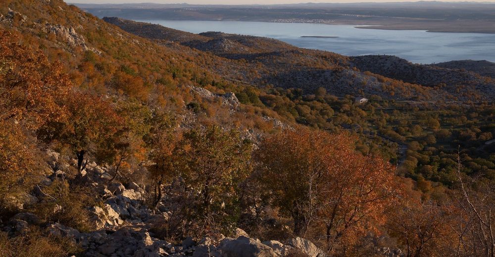
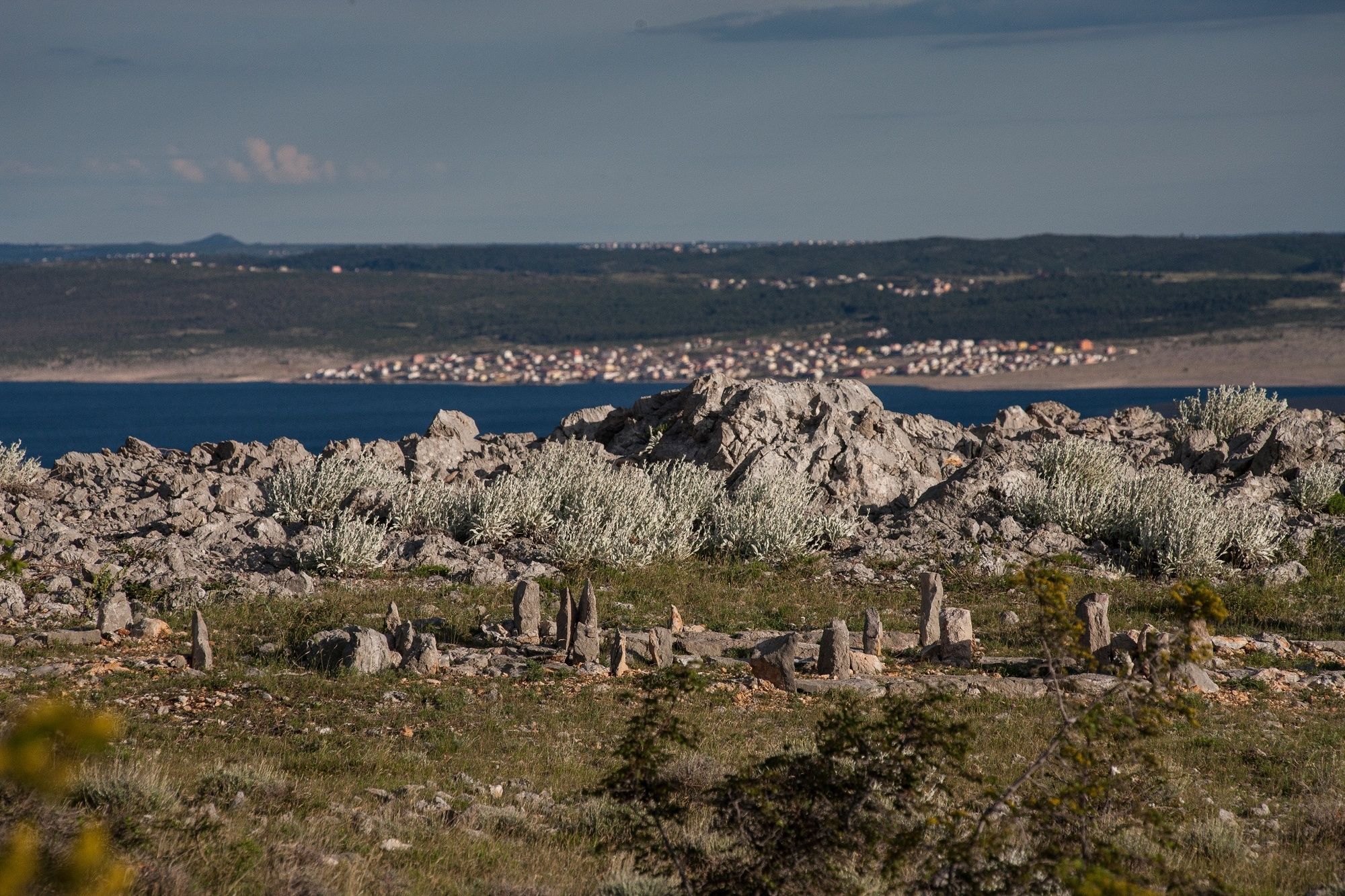
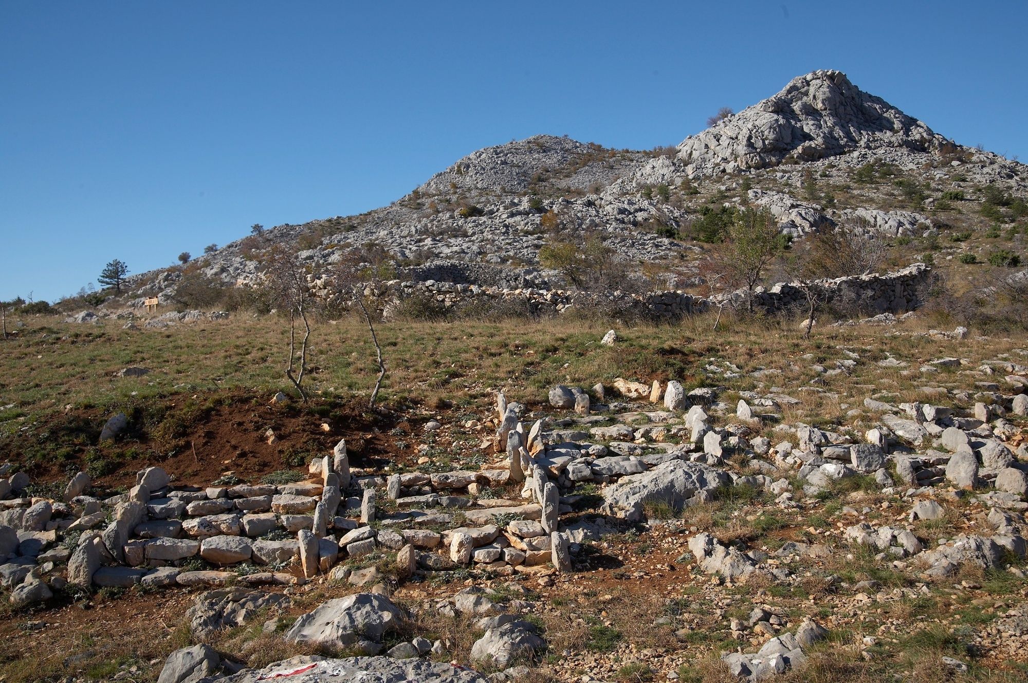
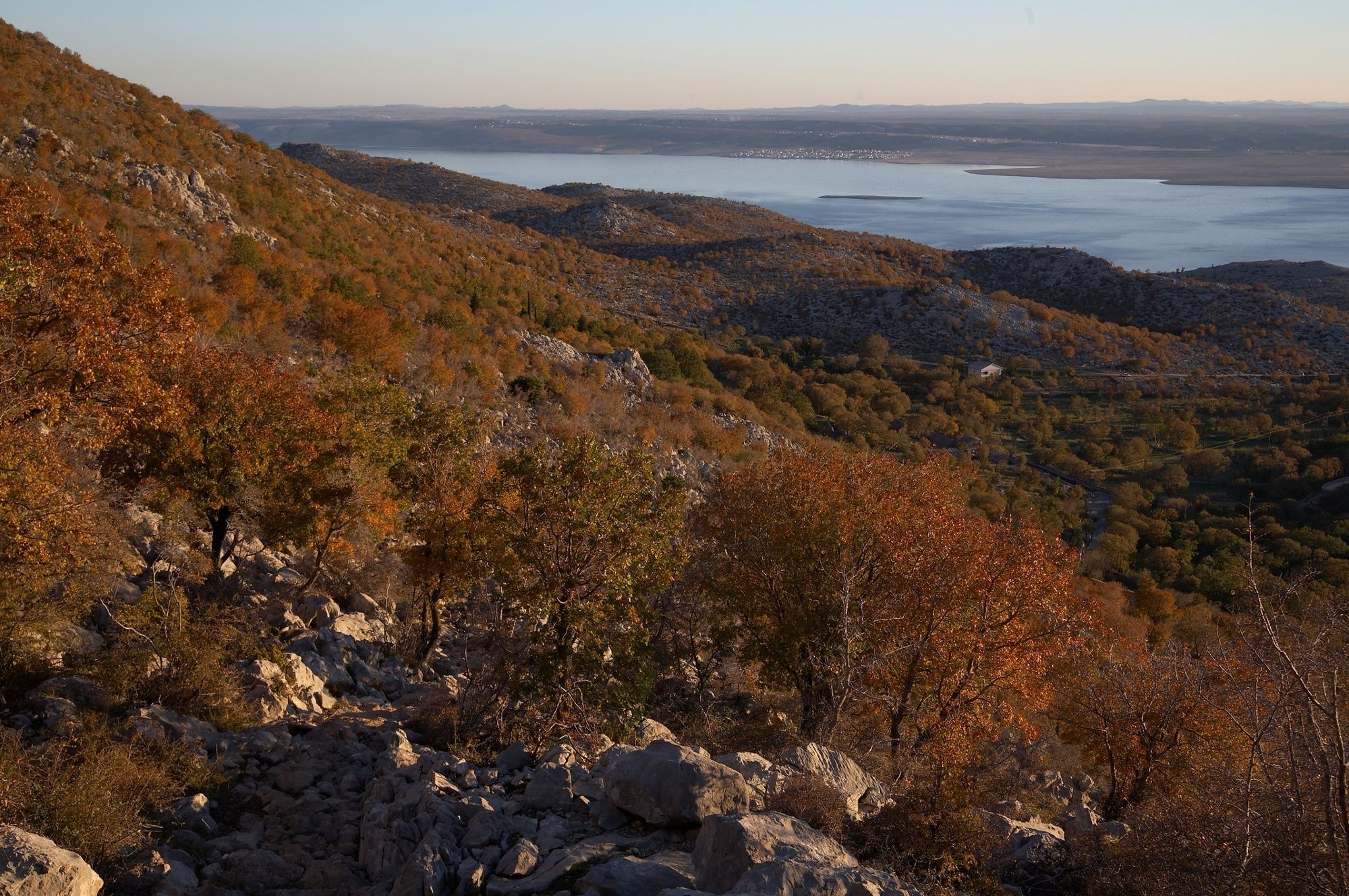
In its first half, the trail leads you through the Mala Paklenica Canyon. The other part of the trail offers views of the hinterland of Anića Kuk and a view of the archipelago.
- Svårighet
-
tung
- Utvärdering
-
- Väg
-
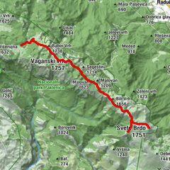
Pozdravača2,6 kmKapljuvača4,7 kmNjive Lekine8,5 kmJurline10,8 kmGrabova dolina11,2 kmJukići16,7 km
- Bästa säsongen
-
janfebmaraprmajjunjulaugsepoktnovdec
- Högsta punkt
- 703 m
- Höjdprofil
-
 © outdooractive.com
- Författare
-
Turnén NP Paklenica / M. Paklenica - V. Paklenica används av outdooractive.com förutsatt.
GPS Downloads


Allmän information
Läkande klimat
Flora
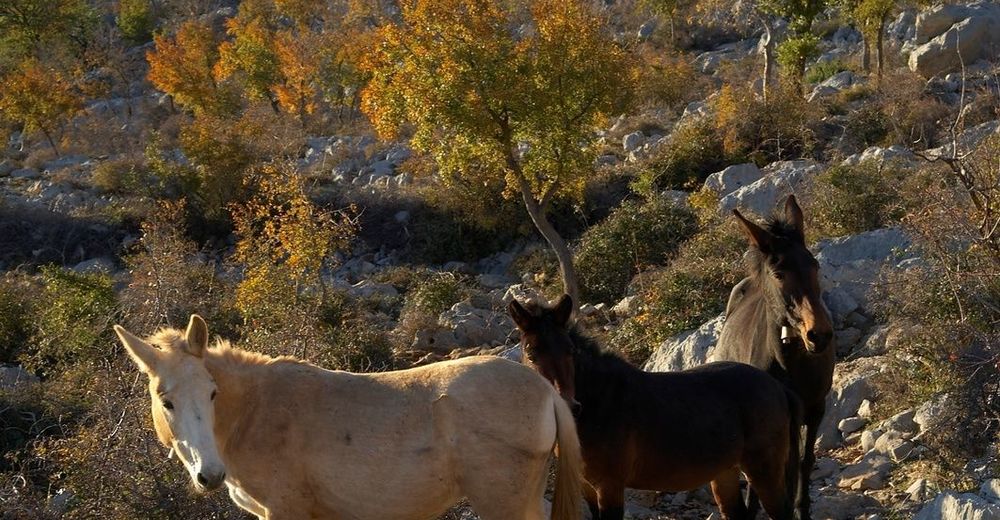
Fauna
Lovande
Fler turer i regionerna