© Dolina Soče - David Štulc Zornik

© Mark Kodrič
- Kort beskrivning
-
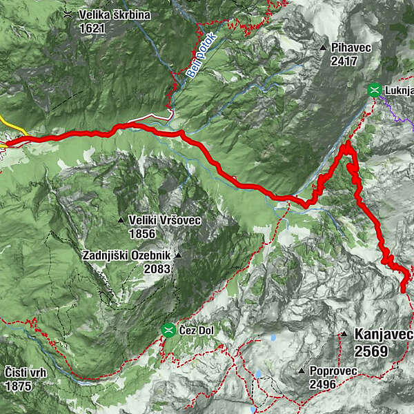
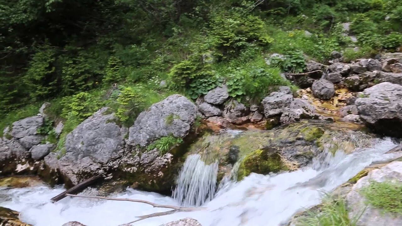
This stage makes a detour from the limestone mountains of the Julian Alps. Follow the comfortable mule track and climb down to the Zadnjica glacial valley...
- Svårighet
-
medium
- Utvärdering
-
- Väg
-
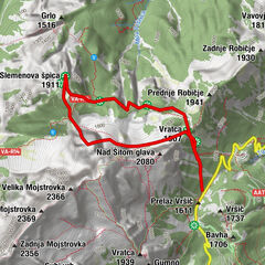
Pod Steno (1.888 m)1,3 kmJolanda (1.760 m)2,5 kmPri Bajti3,0 km
- Bästa säsongen
-
janfebmaraprmajjunjulaugsepoktnovdec
- Högsta punkt
- 2.168 m
- Destination
-
TNP Info Center Trenta
- Höjdprofil
-
 © outdooractive.com
- Författare
-
Turnén Via Alpina Slovenia: Red trail Stage 12 (Dolič-Trenta) används av outdooractive.com förutsatt.
GPS Downloads


Allmän information
Förfriskningsstopp
Lovande
Fler turer i regionerna
-
Region Villach - Faaker See - Ossiacher See
2064
-
Goriška
389
-
Trenta
155