

© Turizem Dolina Soce - Mija Kokošin

© Turizem Dolina Soce - Mija Kokošin

© Turizem Dolina Soce - Mija Kokošin

© Turizem Dolina Soce - Mija Kokošin

© Turizem Dolina Soce - Mija Kokošin

© Turizem Dolina Soce - Mija Kokošin

© Turizem Dolina Soce - Luca D'Agostini

- Kort beskrivning
-
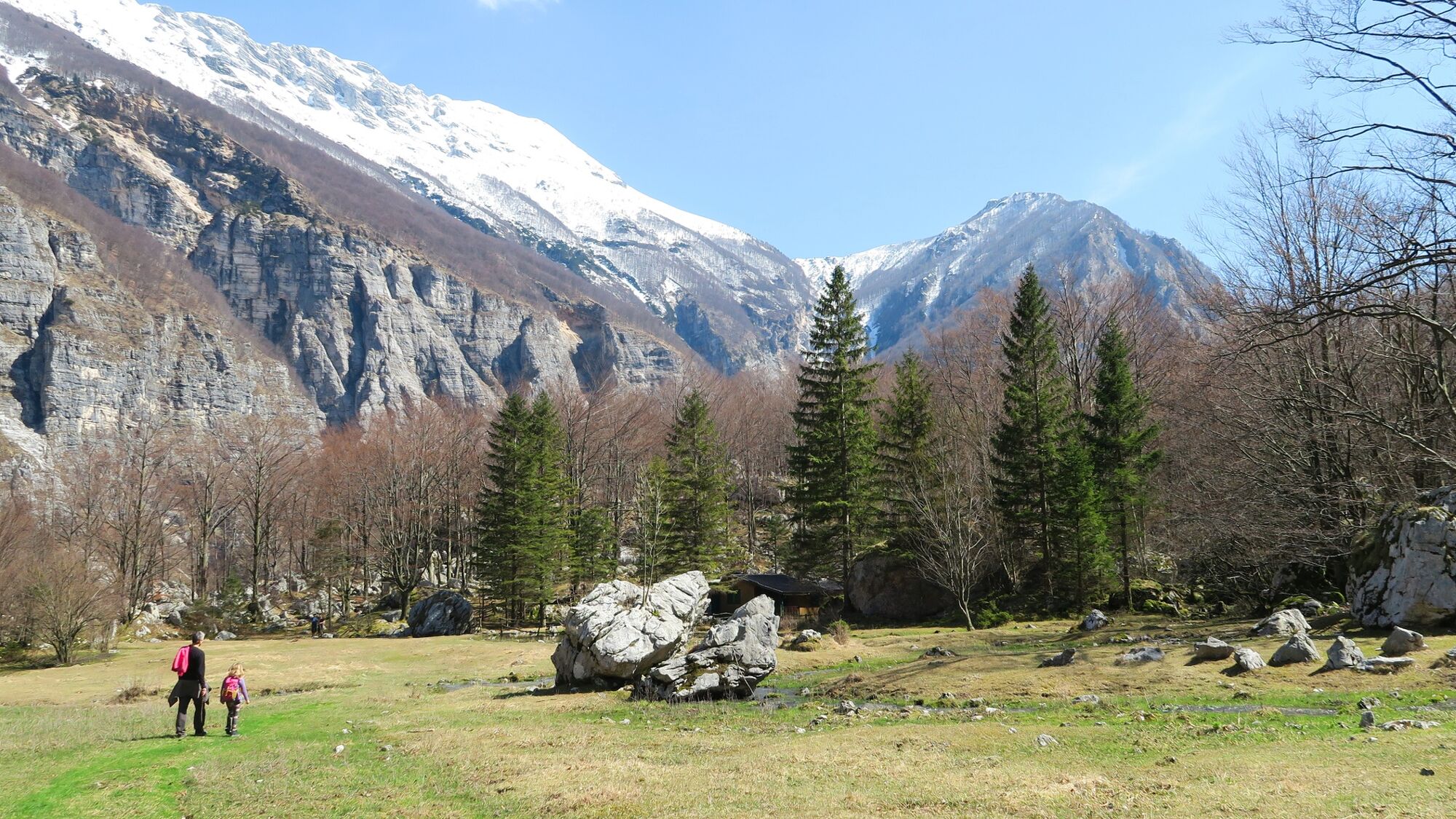
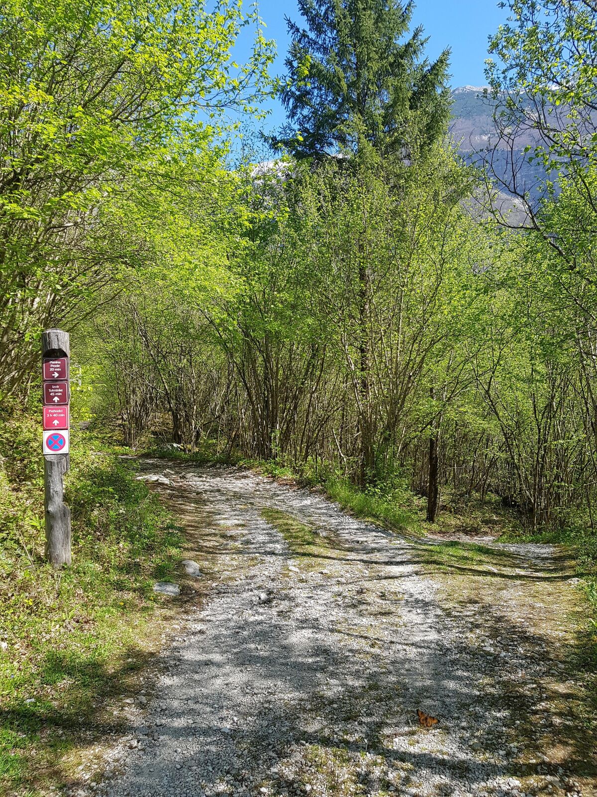
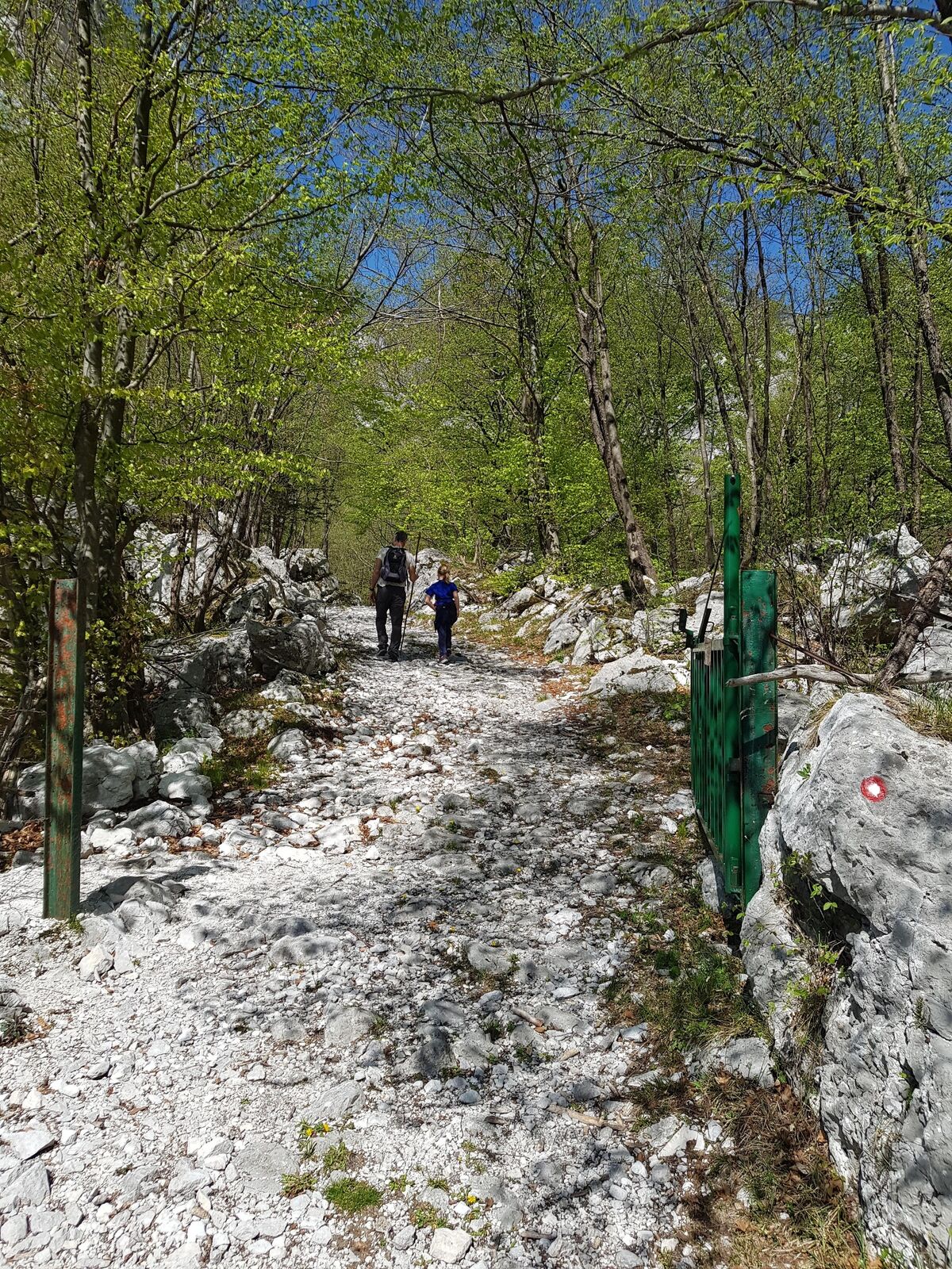
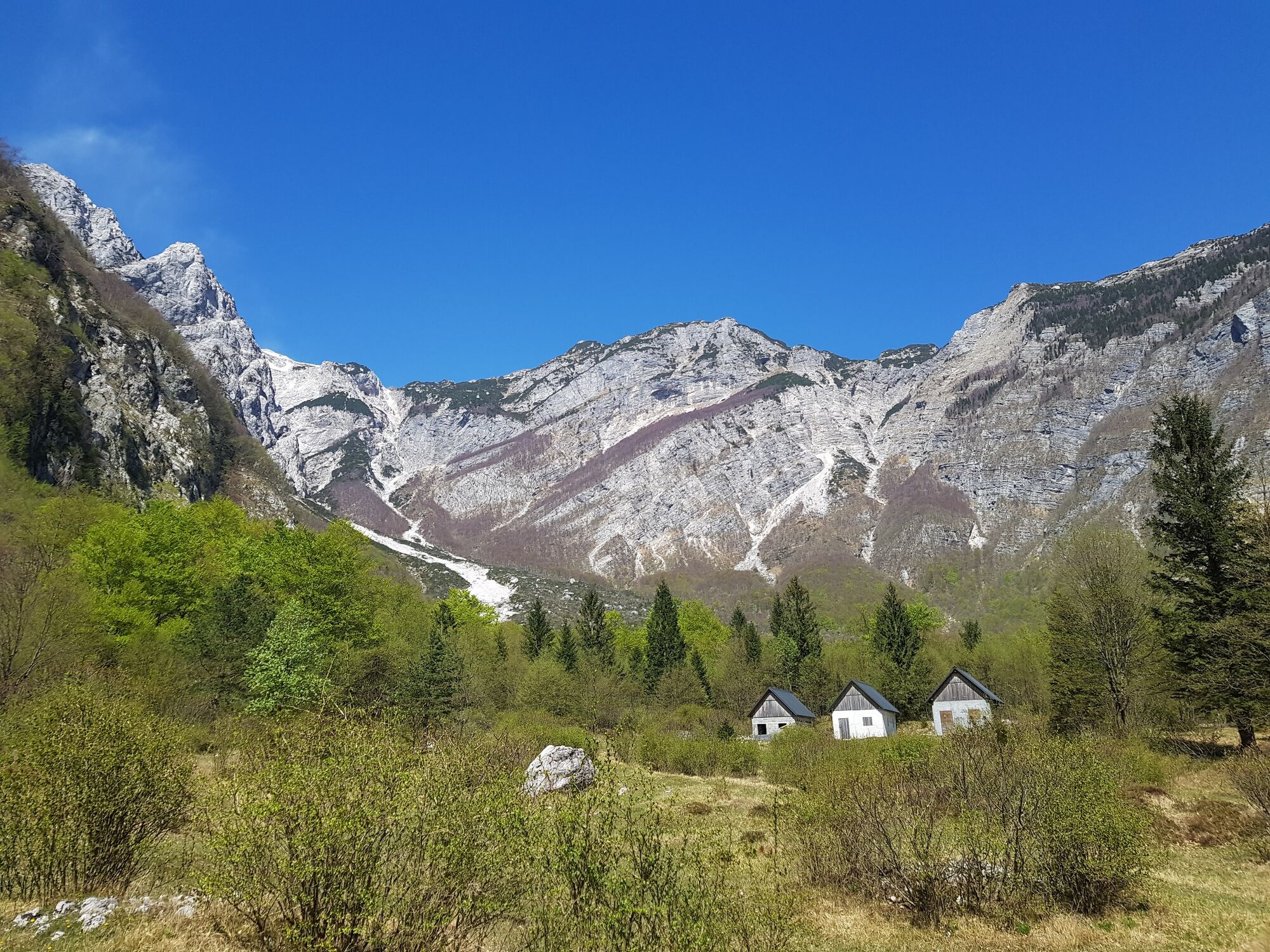
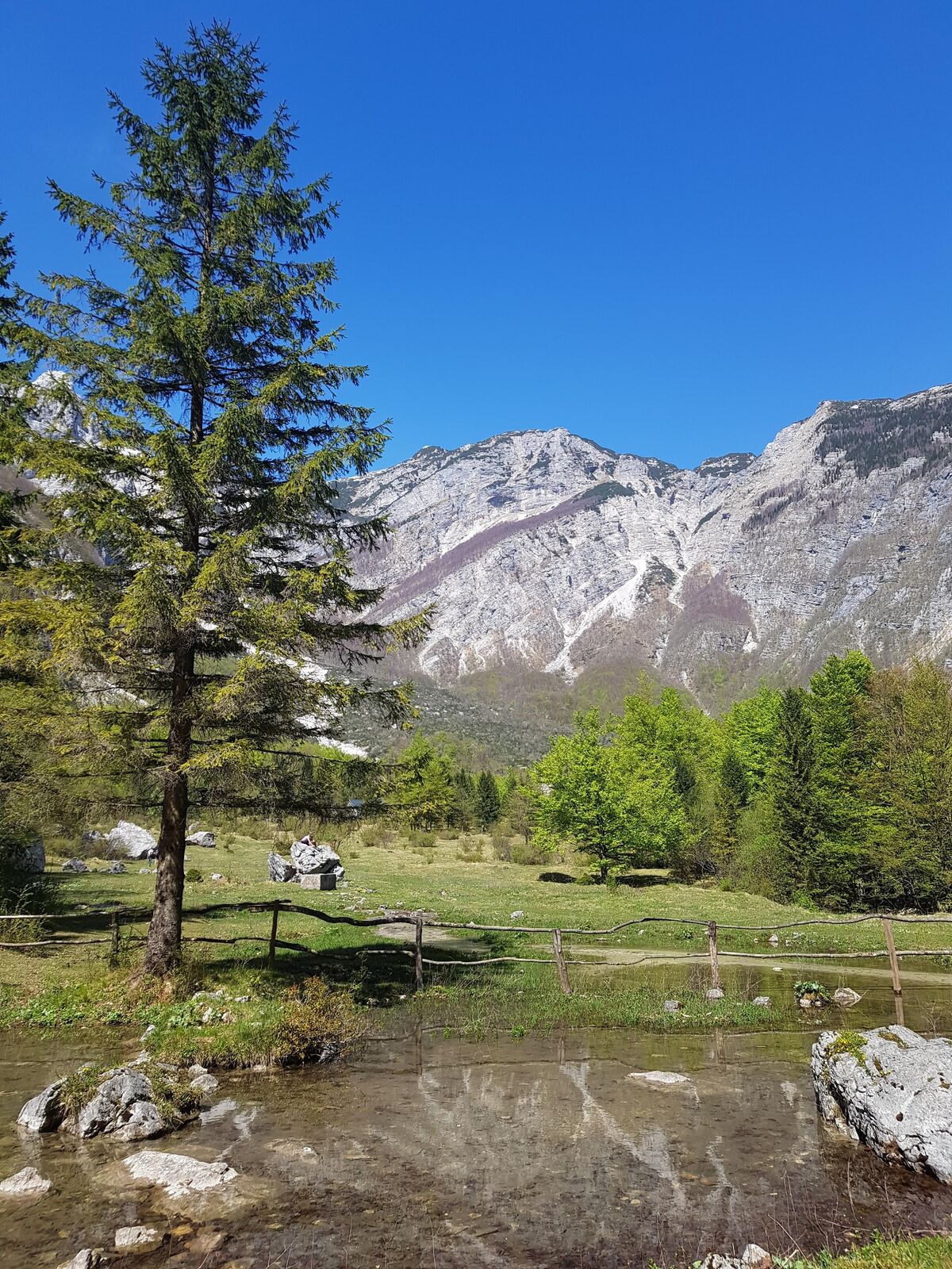
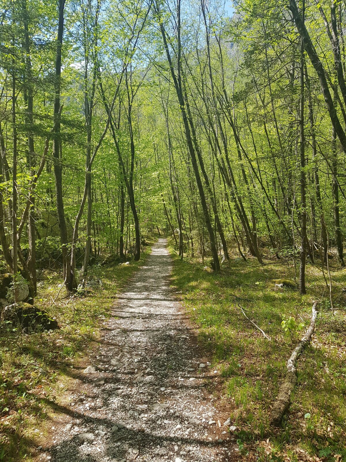
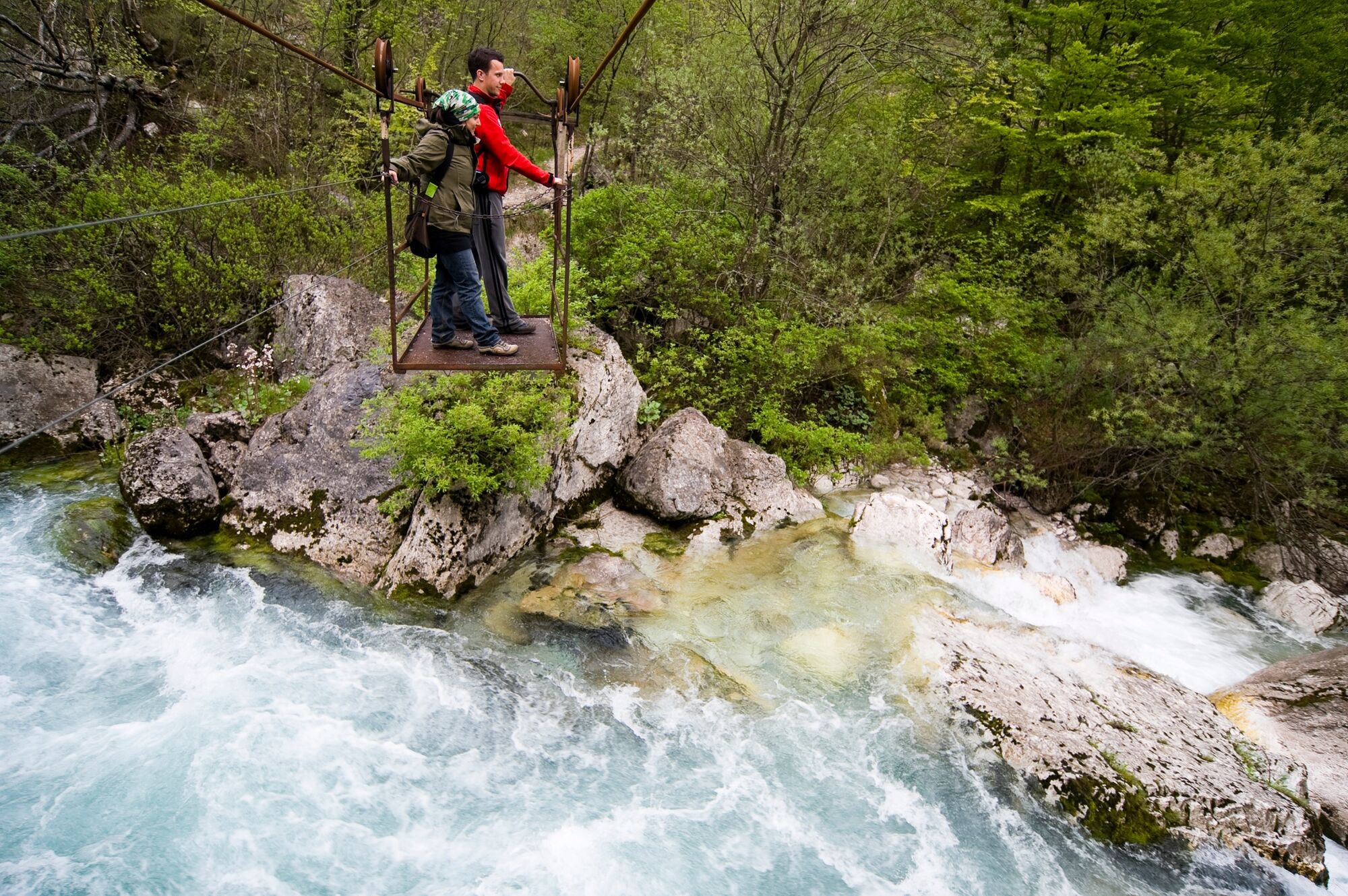
This dynamic circular footpath is very appropriate for families. The open area beneath the mountains surrounding the source of the Tolminka River is a true delight for the eyes. On the return, you have to cross the Tolminka River by using the manual cable car.
- Svårighet
-
lätt
- Utvärdering
-
- Väg
-
Železje (709 m)3,0 kmPlanina pod Osojnico3,2 km
- Bästa säsongen
-
janfebmaraprmajjunjulaugsepoktnovdec
- Högsta punkt
- 724 m
- Destination
-
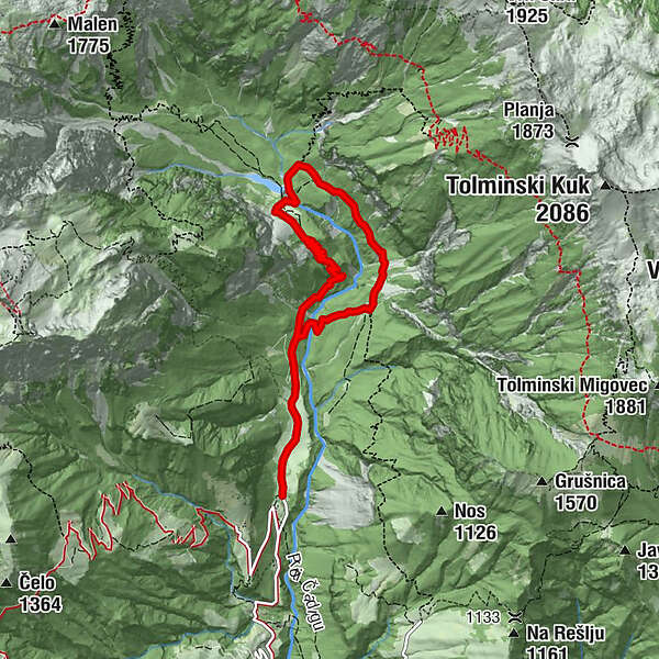
Source of the Tolminka River
- Höjdprofil
-
 © outdooractive.com
- Författare
-
Turnén Source of the Tolminka River används av outdooractive.com förutsatt.
GPS Downloads


Allmän information
Förfriskningsstopp
Läkande klimat
Kulturell/Historisk
Tips från insatta
Flora
Fauna
Lovande


