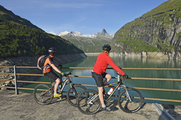
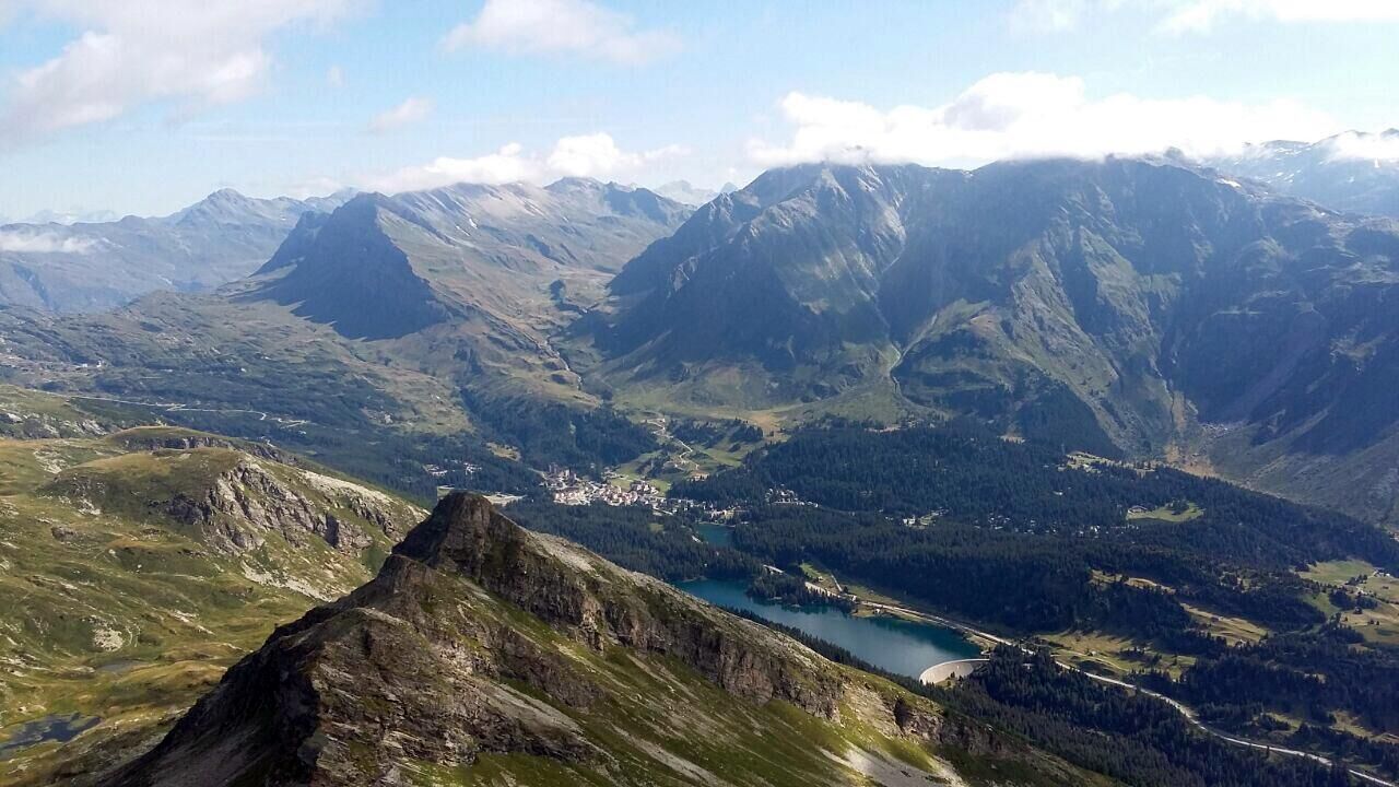
© Ente Turistico Regionale del Moesano - Antonella Klee

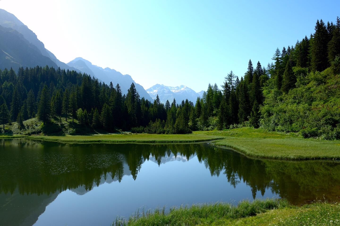
© Ente Turistico Regionale del Moesano - Antonella Klee

© Ente Turistico Regionale del Moesano - Antonella Klee
Datum för turné
16,27km
1.167
- 1.674m
461hm
498hm
02:15h

- Kort beskrivning
-
Varied and easy circular route in the area around San Bernardino, on forest roads and past several lakes. Use your strength carefully, because the start is close to the highest point of the tour and the whole ascent follows at the end!
- Svårighet
-
medium
- Utvärdering
-
- Väg
-
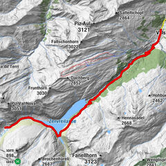
San Bernardino (1.626 m)Du Lac2,6 kmSalvanei4,6 kmPescedal5,2 kmSalec6,8 kmCoz6,8 kmPian San Giacomo (1.171 m)7,2 kmSei7,5 kmTurgegn8,4 kmUsenich8,9 kmScot9,6 kmPignela Sura (1.472 m)11,0 kmSan Bernardino (1.626 m)16,2 km
- Bästa säsongen
-
janfebmaraprmajjunjulaugsepoktnovdec
- Högsta punkt
- 1.674 m
- Destination
-
San Bernardino Dorf
- Höjdprofil
-
 © outdooractive.com

-

-
FörfattareTurnén 642 - Pignela används av outdooractive.com förutsatt.
GPS Downloads


Allmän information
Lovande
Fler turer i regionerna
")