© Ente Turistico Regionale del Moesano - Christian Vigne

© Ente Turistico Regionale del Moesano - Christian Vigne

© Ente Turistico Regionale del Moesano - Christian Vigne
Datum för turné
10,98km
1.610
- 2.123m
469hm
490hm
04:20h
- Kort beskrivning
-
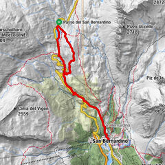
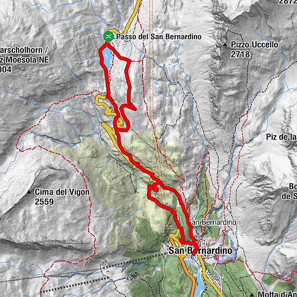
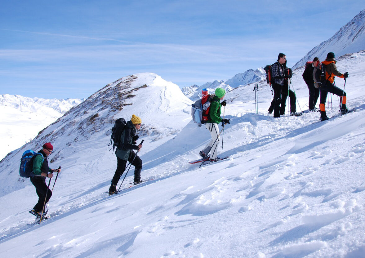
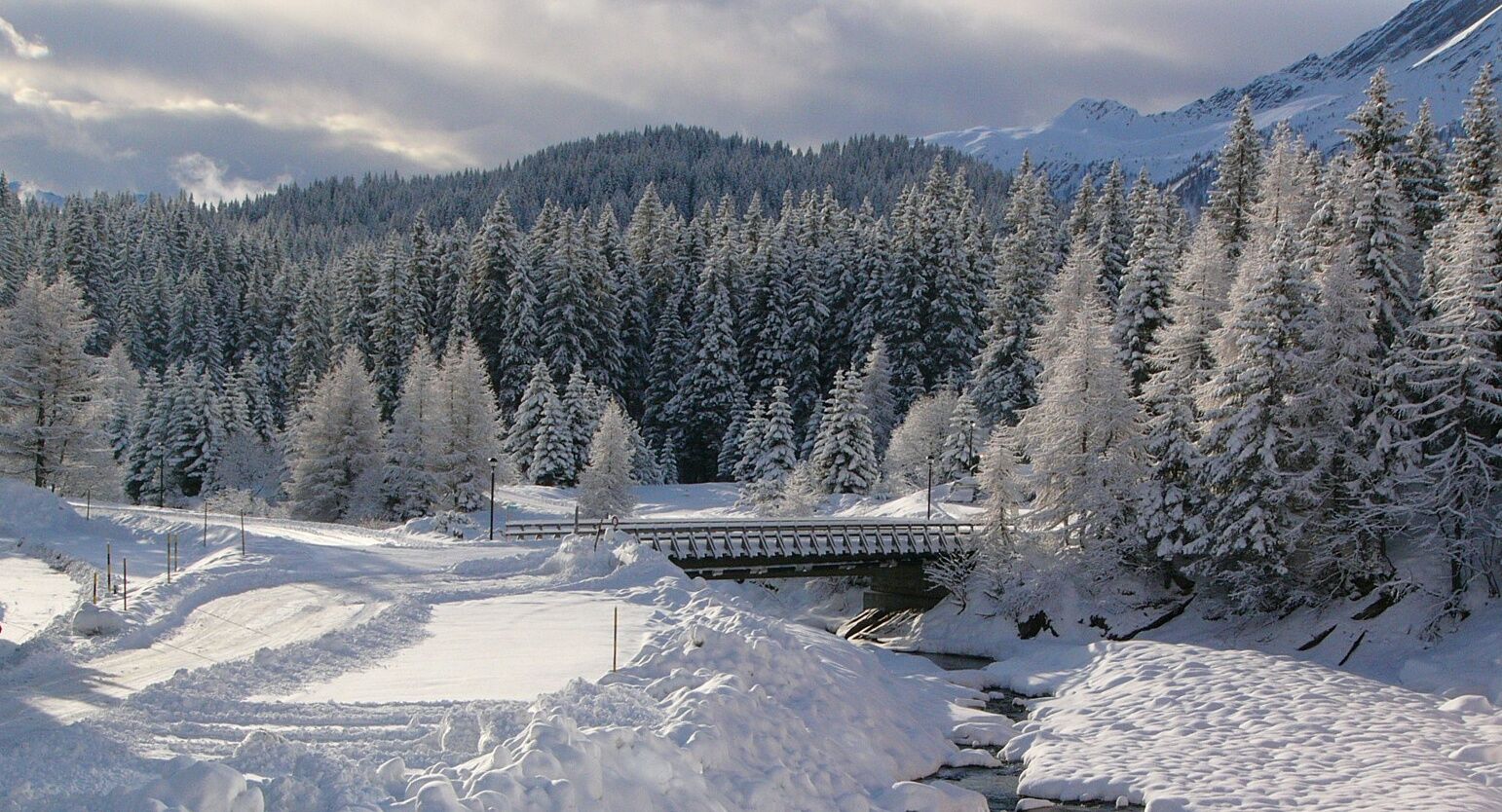
Following a charming up and down path, this trail leads through glacier-formed mounds to the San Bernardino pass. It is the most extensive landscape of this type throughout Switzerland and thus of national importance.
- Svårighet
-
medium
- Utvärdering
-
- Väg
-
San Bernardino (1.626 m)0,1 kmCa de Mucia2,9 kmOspizio (2.065 m)4,7 kmRistorante Ospizio San Bernardino4,7 kmCa de Mucia7,2 kmPont Nev9,2 kmSan Bernardino (1.626 m)10,9 km
- Bästa säsongen
-
augsepoktnovdecjanfebmaraprmajjunjul
- Högsta punkt
- 2.123 m
- Destination
-
San Bernardino Dorf
- Höjdprofil
-
 © outdooractive.com
-

-
FörfattareTurnén 556 - Passo San Bernardino / San Bernardino Pass används av outdooractive.com förutsatt.
GPS Downloads


Allmän information
Förfriskningsstopp
Kulturell/Historisk
Tips från insatta
Fauna
Lovande
Fler turer i regionerna