- Kort beskrivning
-
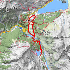
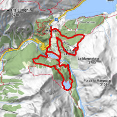
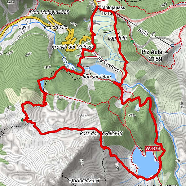
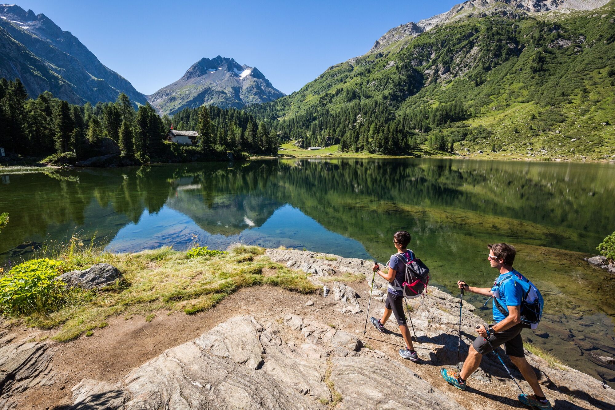
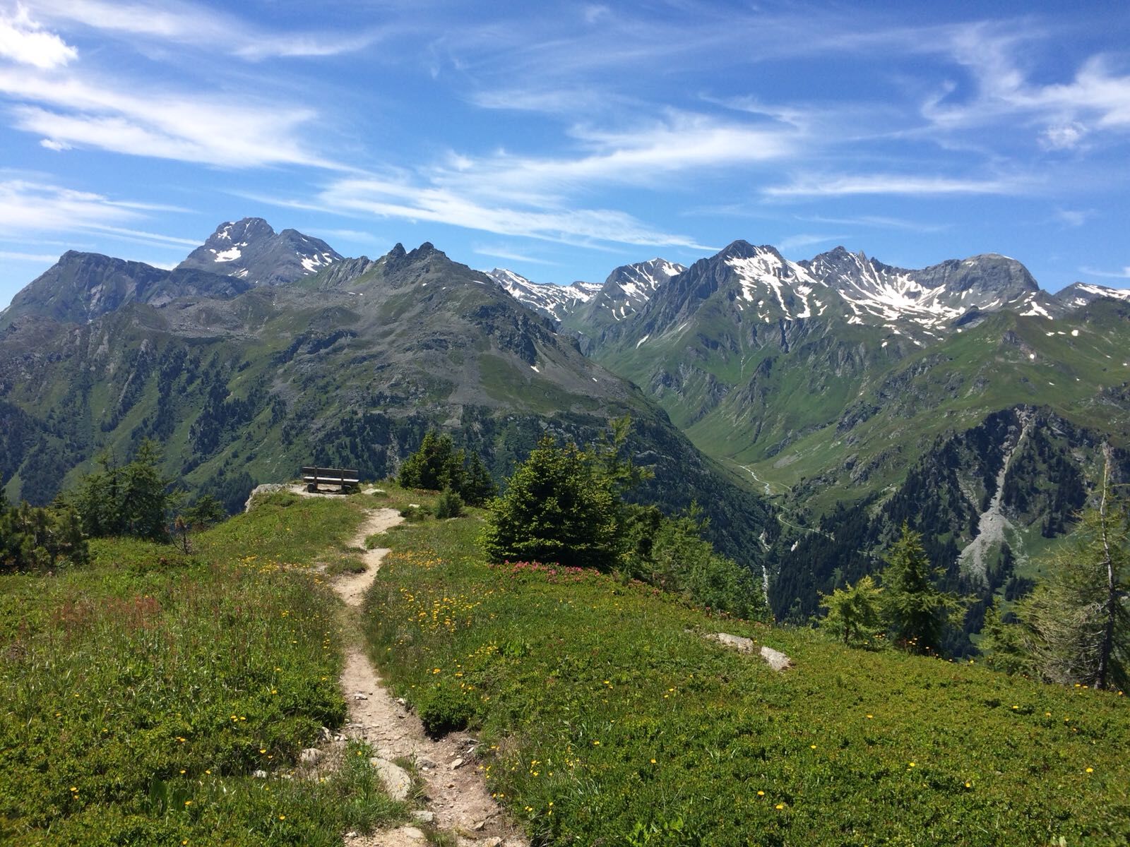
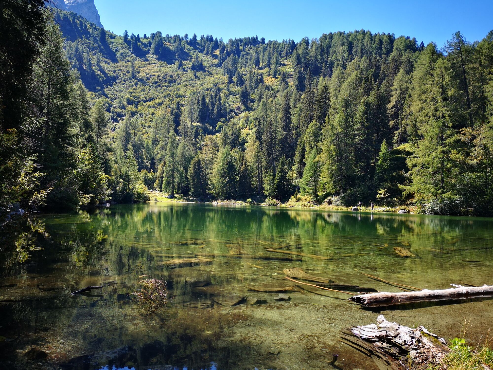
Short but technically exciting trail running route, past two idyllic mountain lakes. At the highest point, the Motta Salecina, the hiker and runner enjoys a unique view of the Val Bregaglia and the Upper Engadine lake plateau.
- Svårighet
-
medium
- Utvärdering
-
- Väg
-
Maloja (1.809 m)Orden (1.807 m)0,7 kmMotta Salacina3,4 kmPass dal Caval (2.136 m)4,8 kmCavloccio6,2 kmOrden d'Ent (1.797 m)8,6 kmLan Palü9,1 kmMaloja (1.809 m)9,8 km
- Bästa säsongen
-
janfebmaraprmajjunjulaugsepoktnovdec
- Högsta punkt
- 2.140 m
- Destination
-
Maloja
- Höjdprofil
-
 © outdooractive.com


- Författare
-
Turnén Maloja -Salecina trail - Trailtrophy Route används av outdooractive.com förutsatt.
GPS Downloads


Allmän information
Lovande
Fler turer i regionerna