© Engadin Samnaun Val Müstair - Andrea Badrutt, Chur

© Engadin Samnaun Val Müstair - Dominik Täuber

© Engadin Samnaun Val Müstair - Dominik Täuber

© Engadin Samnaun Val Müstair - Tourismus Engadin Scuol Samnaun Val Müstair AG

© Engadin Samnaun Val Müstair - Andrea Badrutt, Chur

© Andrea Badrutt


- Kort beskrivning
-
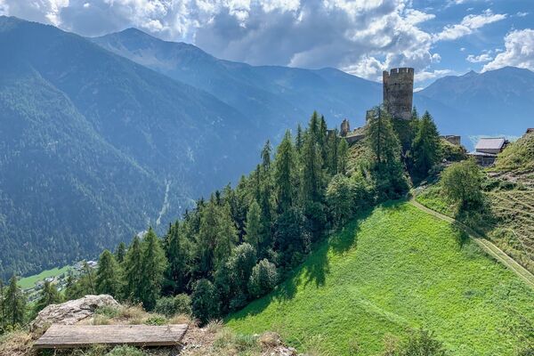
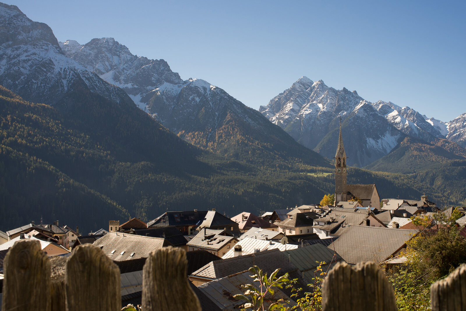
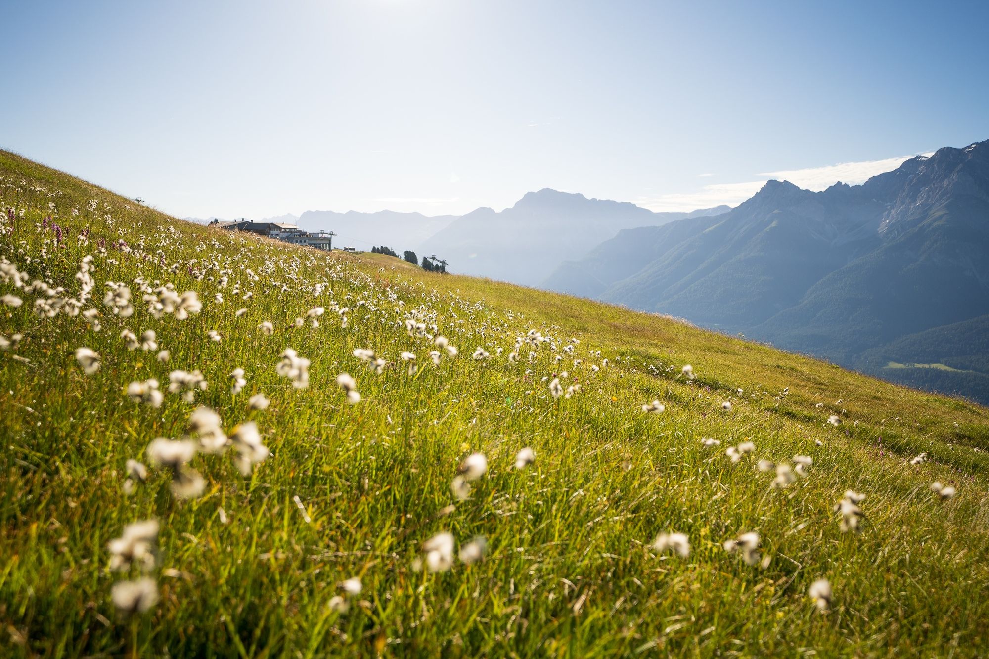
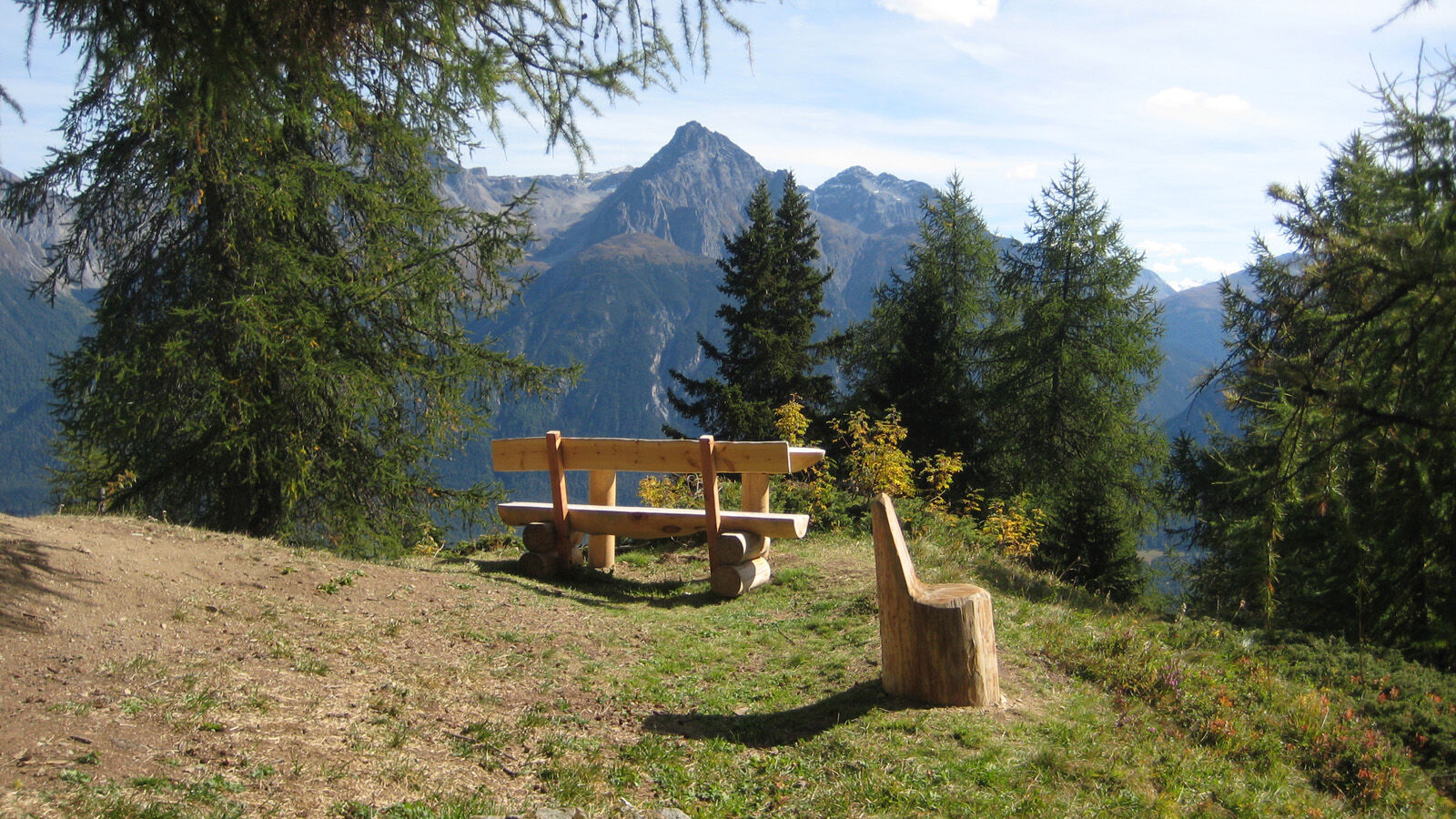
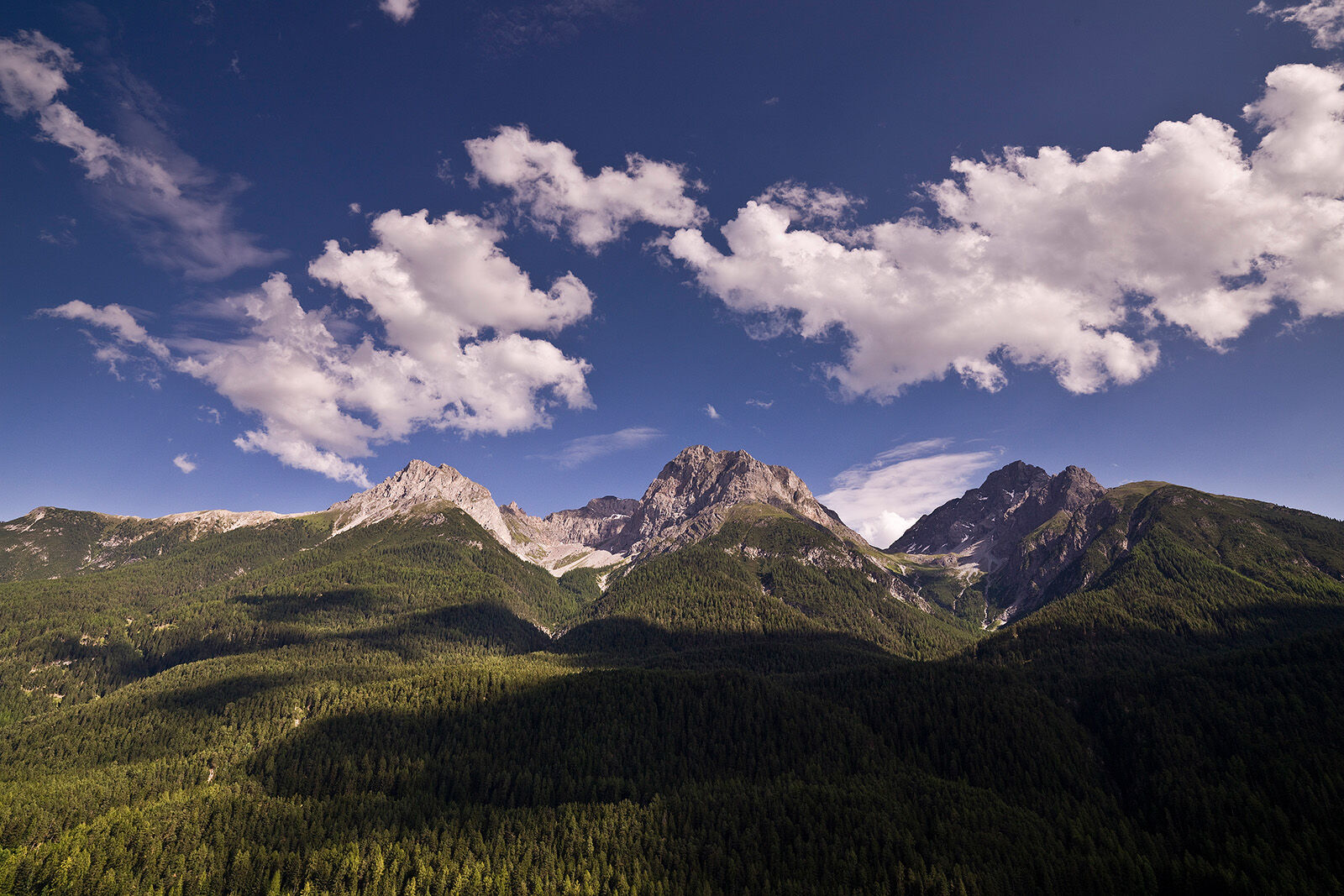
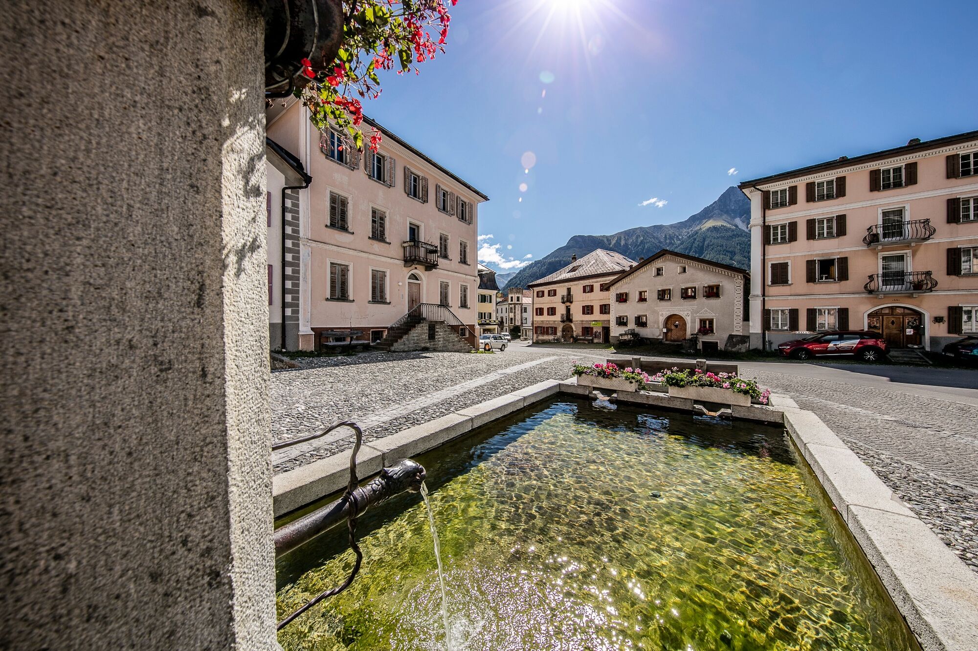
Rather easy high-altitude hike on the sunny side of the Lower Engadine down to the picture-book village of Sent.
- Svårighet
-
medium
- Utvärdering
-
- Väg
-
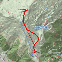
Prui (2.058 m)Prümaran Prui0,0 kmMotta Naluns1,7 kmMotta Naluns1,8 kmTruois3,2 kmJonvrai3,6 kmVastur8,1 kmRestorant da muntogna Vastur8,8 kmRuinas9,4 kmDavo Stron11,4 kmDa Salvatore11,9 kmRestorant Fontana12,0 kmSins (1.440 m)12,2 km
- Bästa säsongen
-
janfebmaraprmajjunjulaugsepoktnovdec
- Högsta punkt
- 2.185 m
- Destination
-
Postauto stop Sent, Plaz
- Höjdprofil
-
 © outdooractive.com

- Författare
-
Turnén Via Engiadina trek, 4th stage Scuol-Sent används av outdooractive.com förutsatt.
GPS Downloads


Allmän information
Förfriskningsstopp
Fler turer i regionerna
-
Engadin Scuol Zernez
734
-
Scuol
137