


Datum för turné
13,79km
796
- 1.502m
518hm
764hm
04:29h
- Kort beskrivning
-
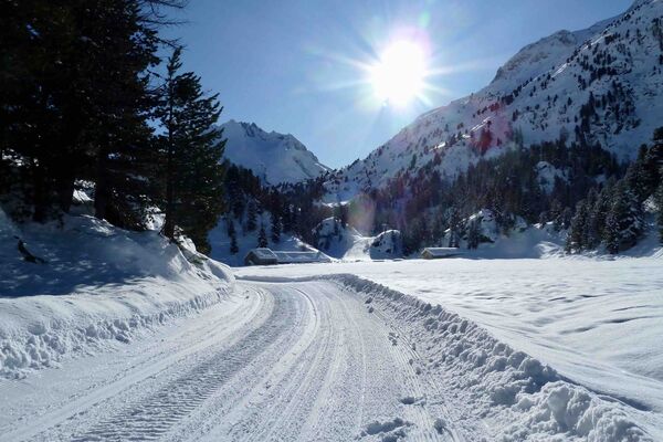
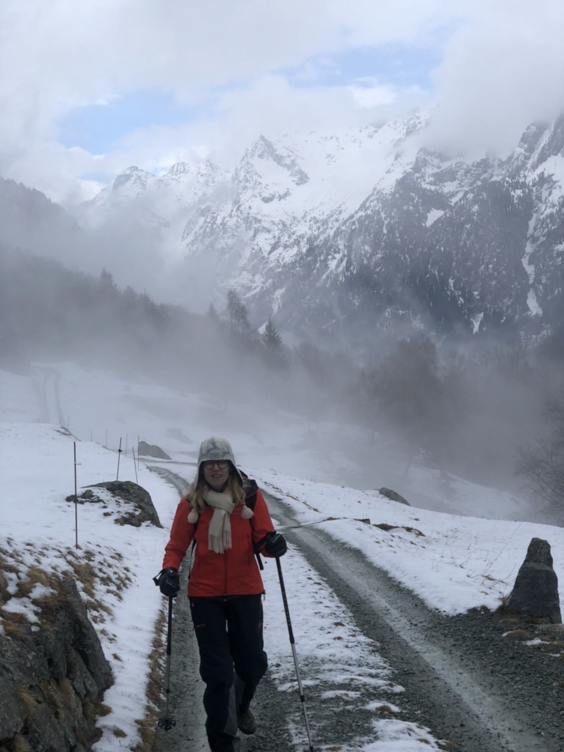
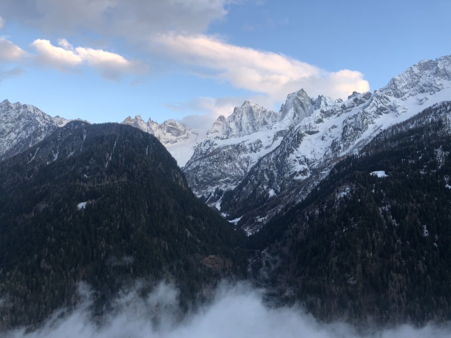
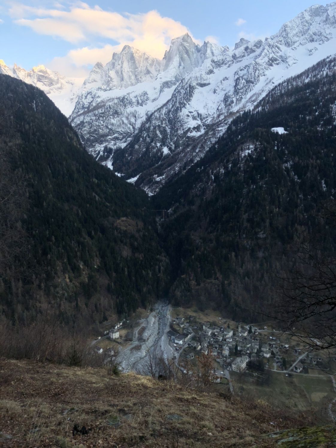
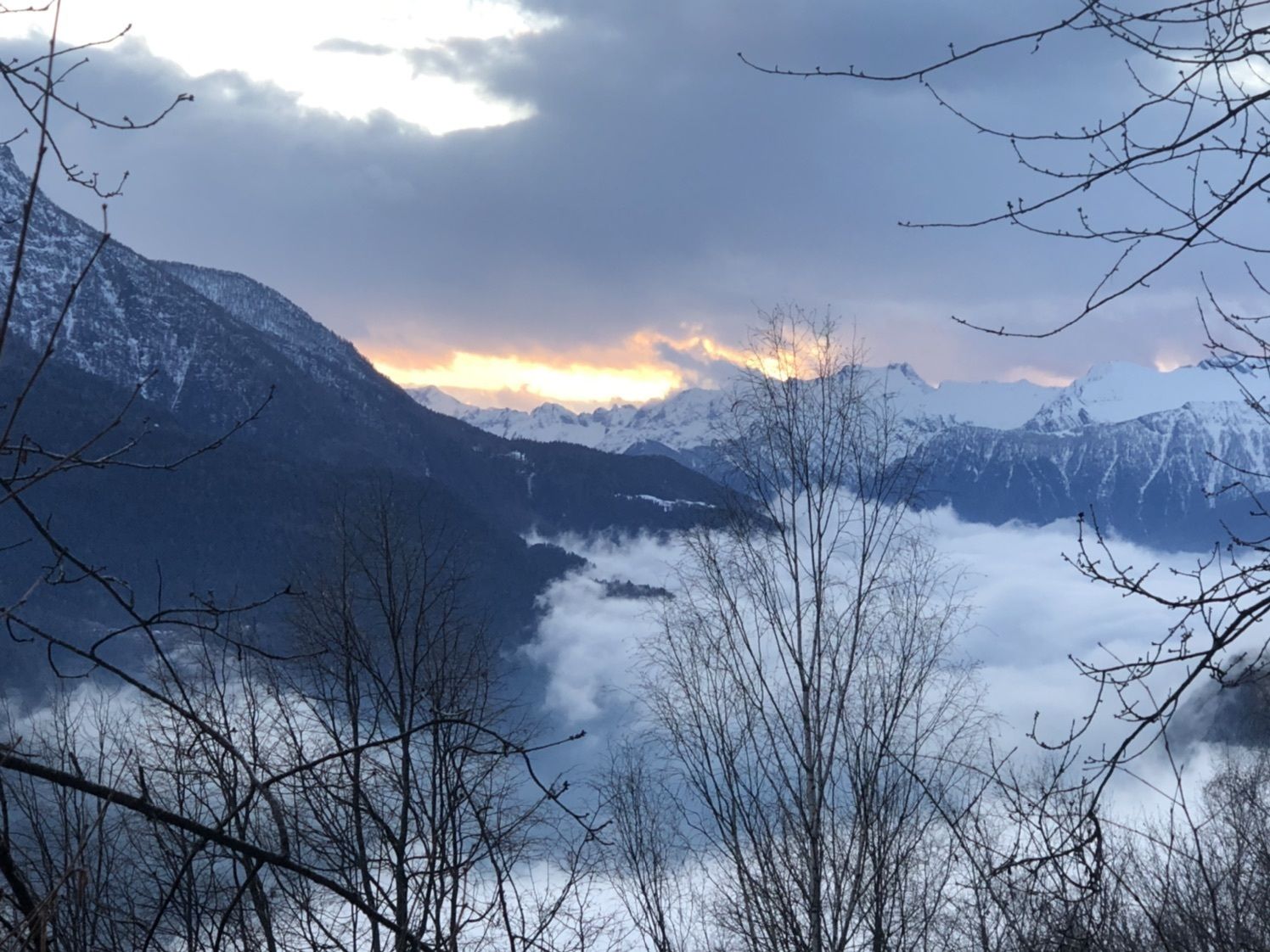
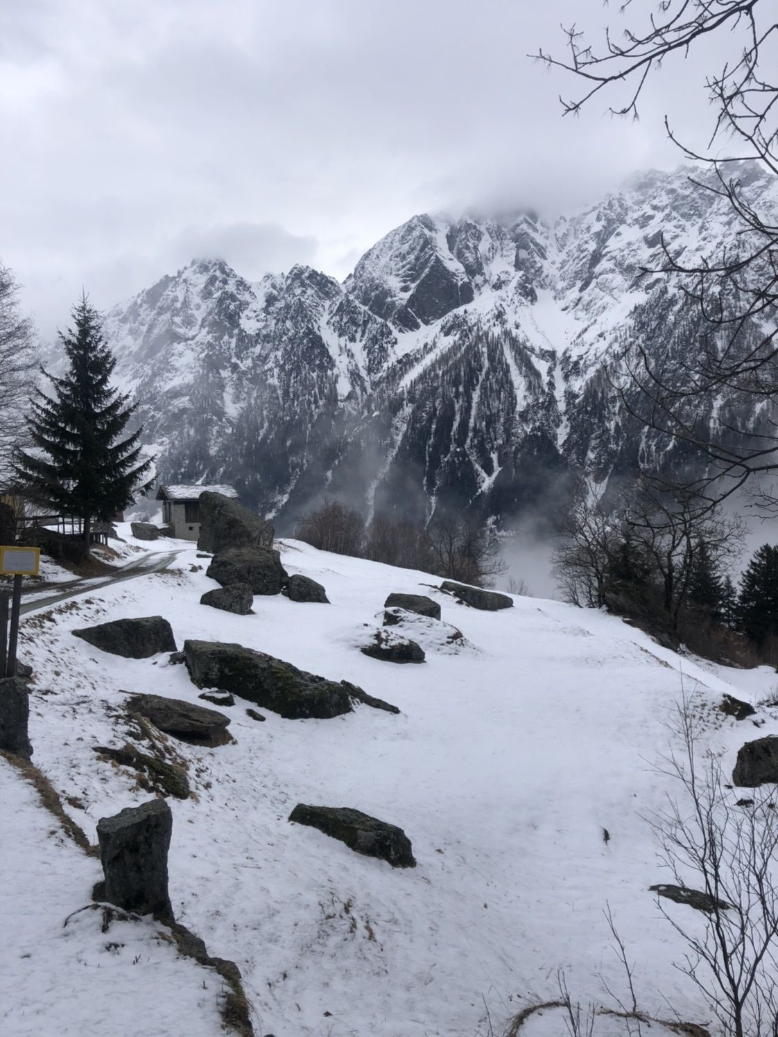
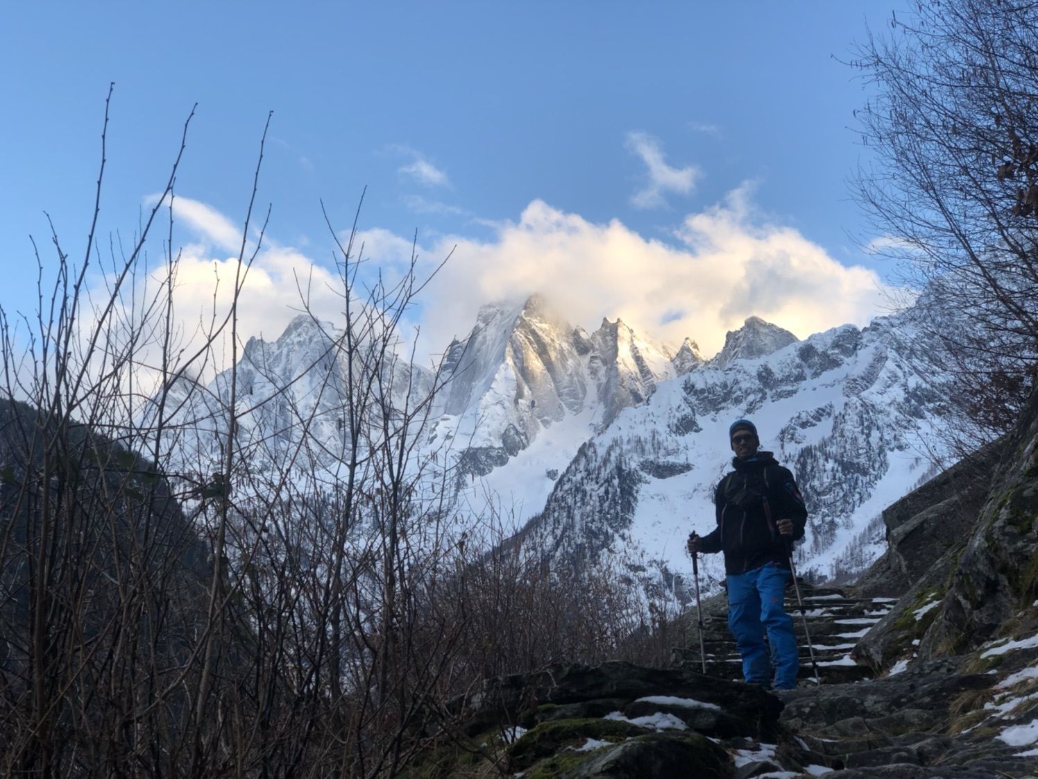
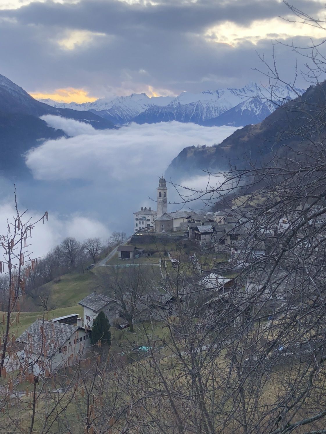
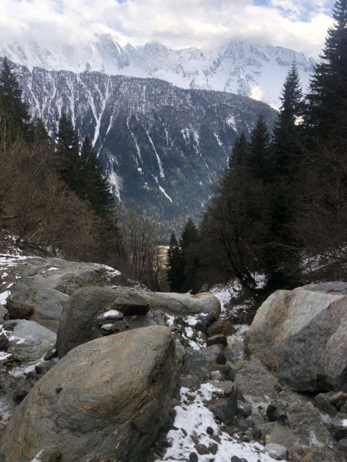
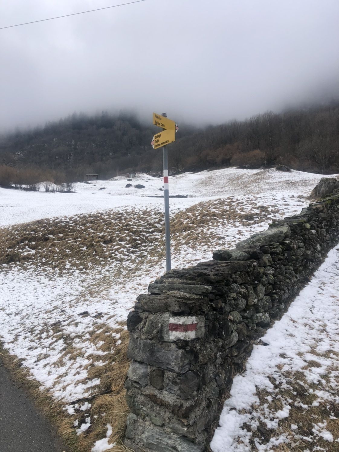
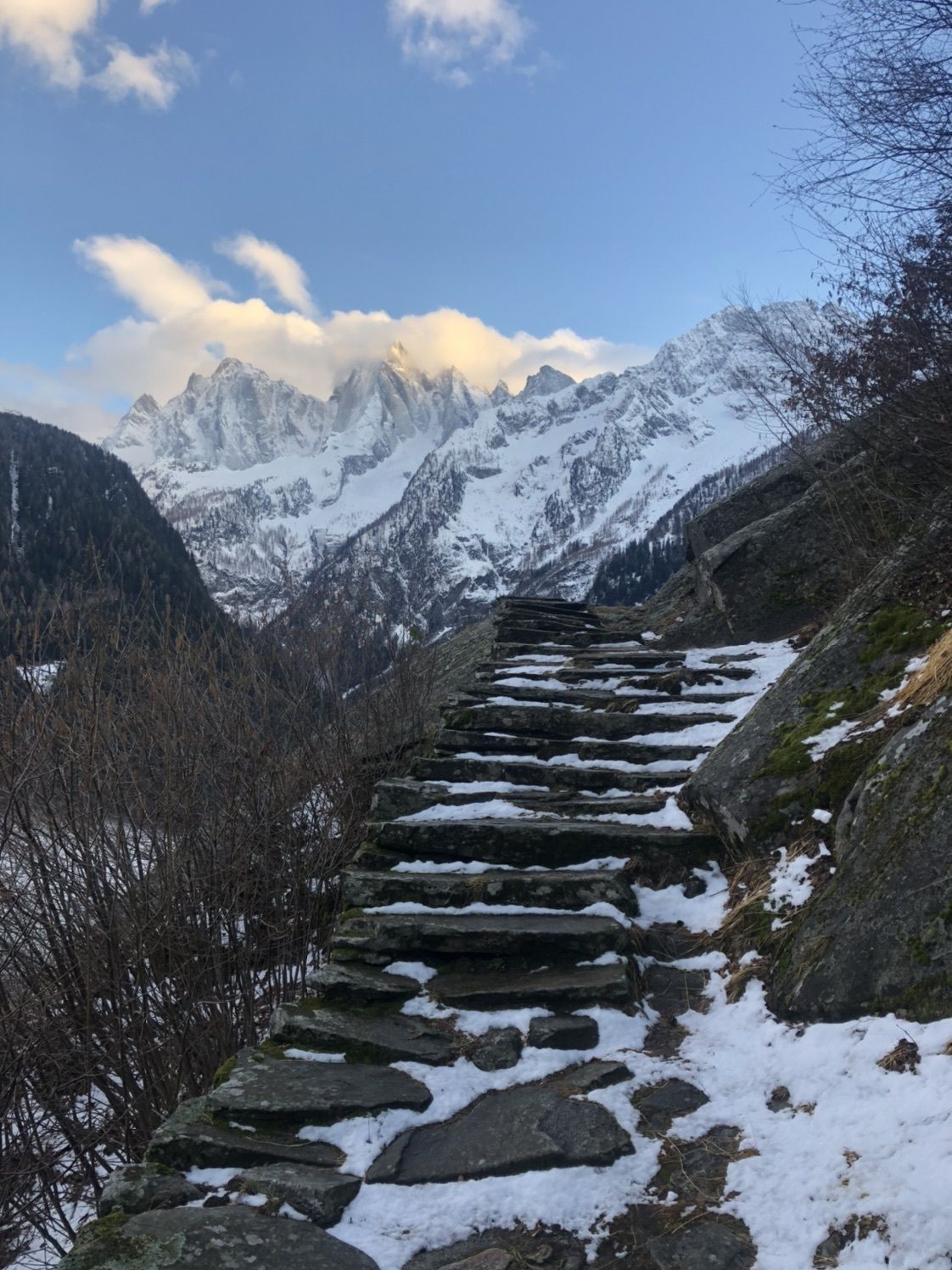
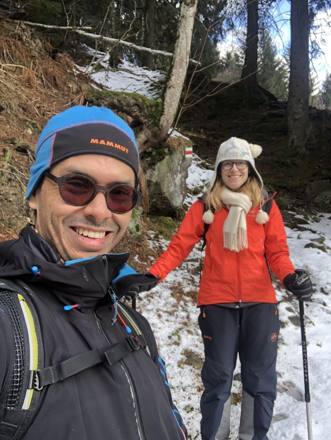
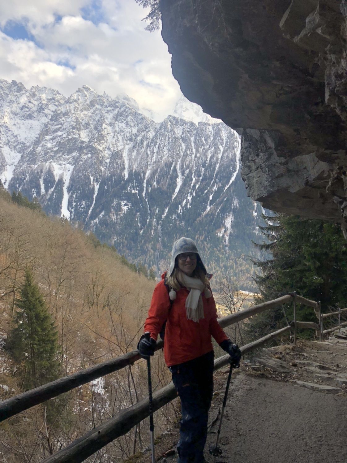
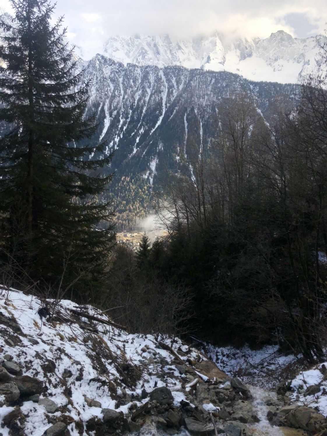
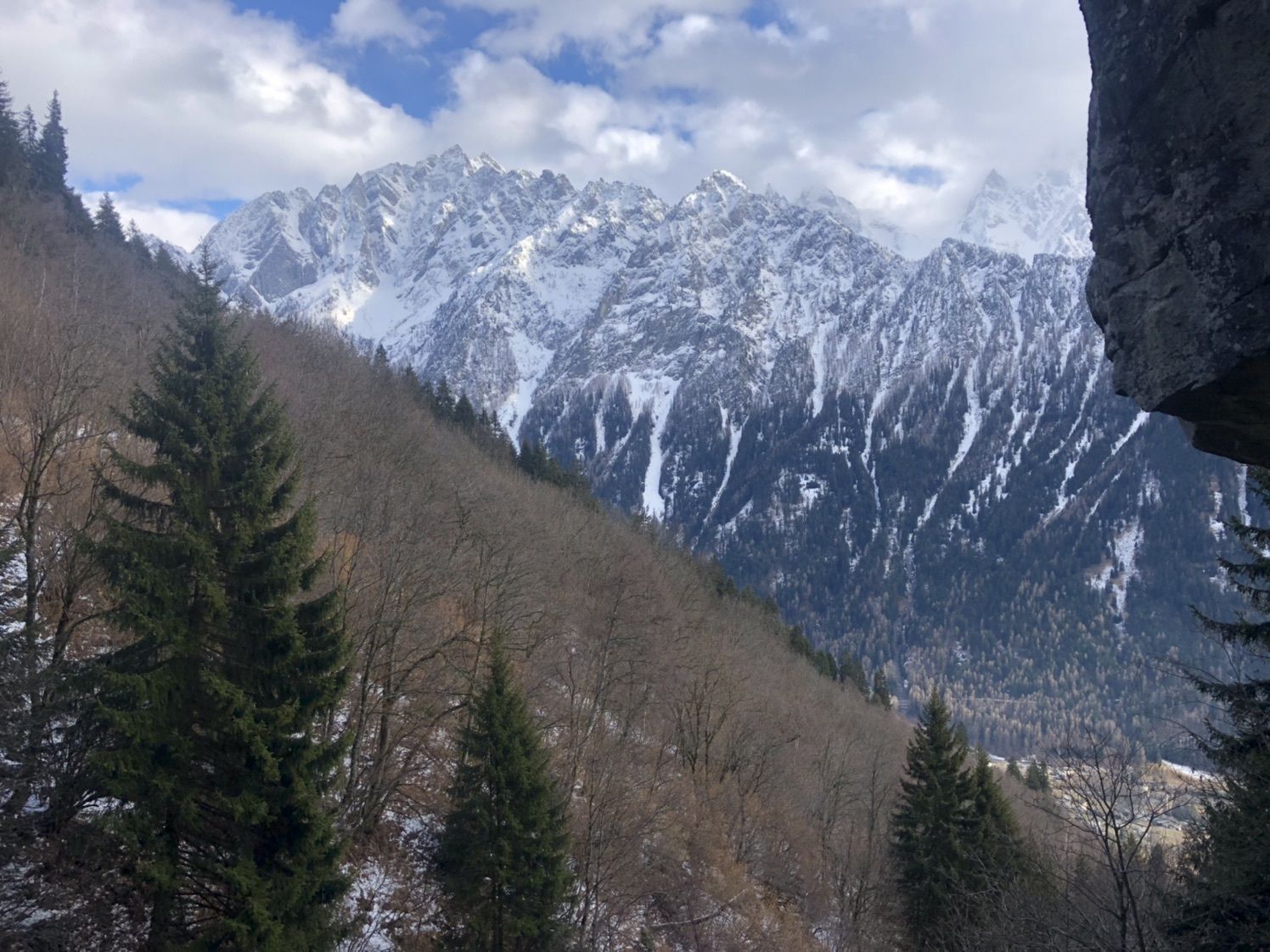
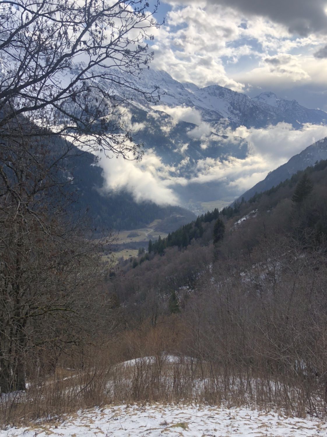
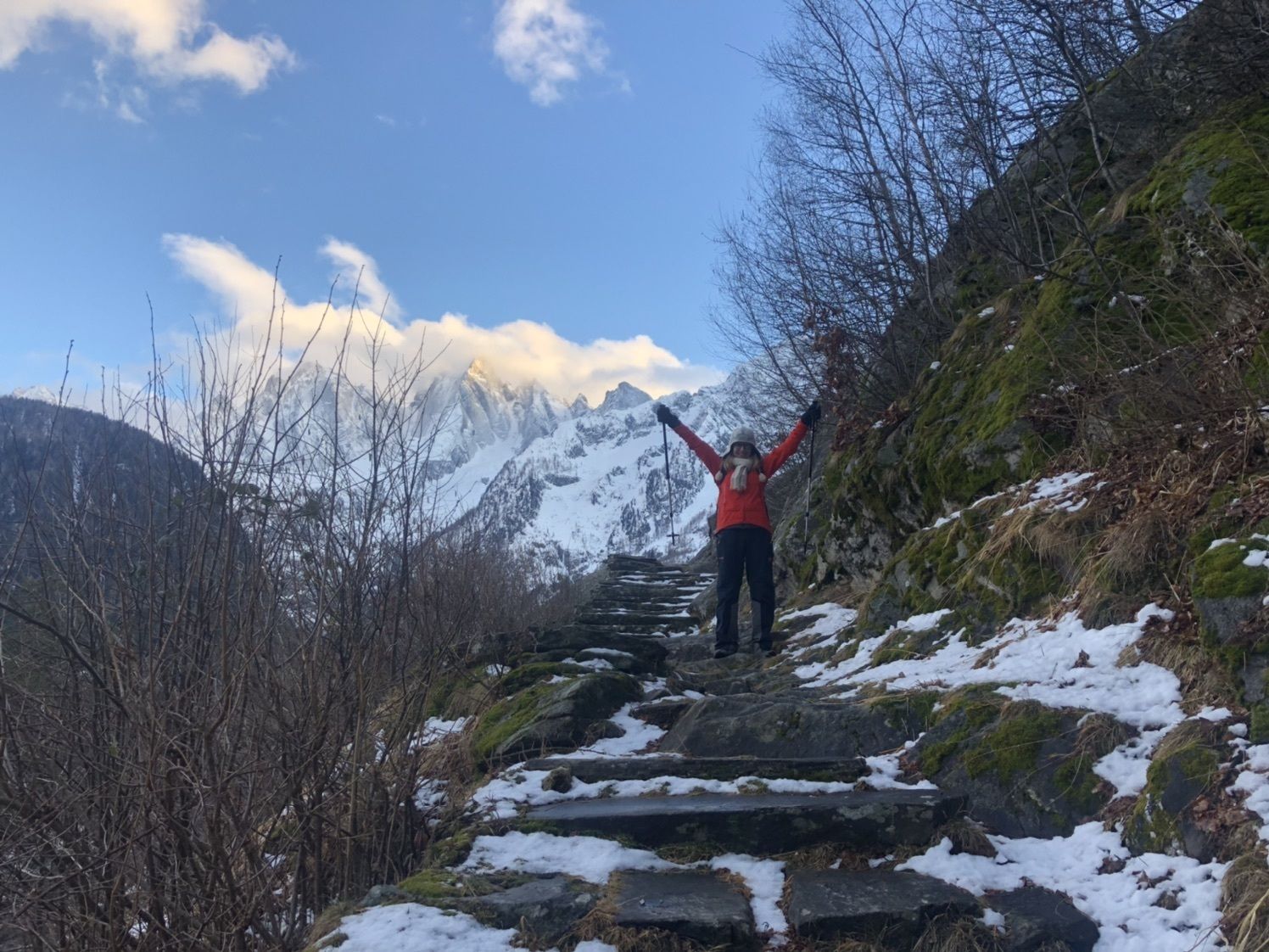
Vía Panoramica Hiking
- Svårighet
-
medium
- Utvärdering
-
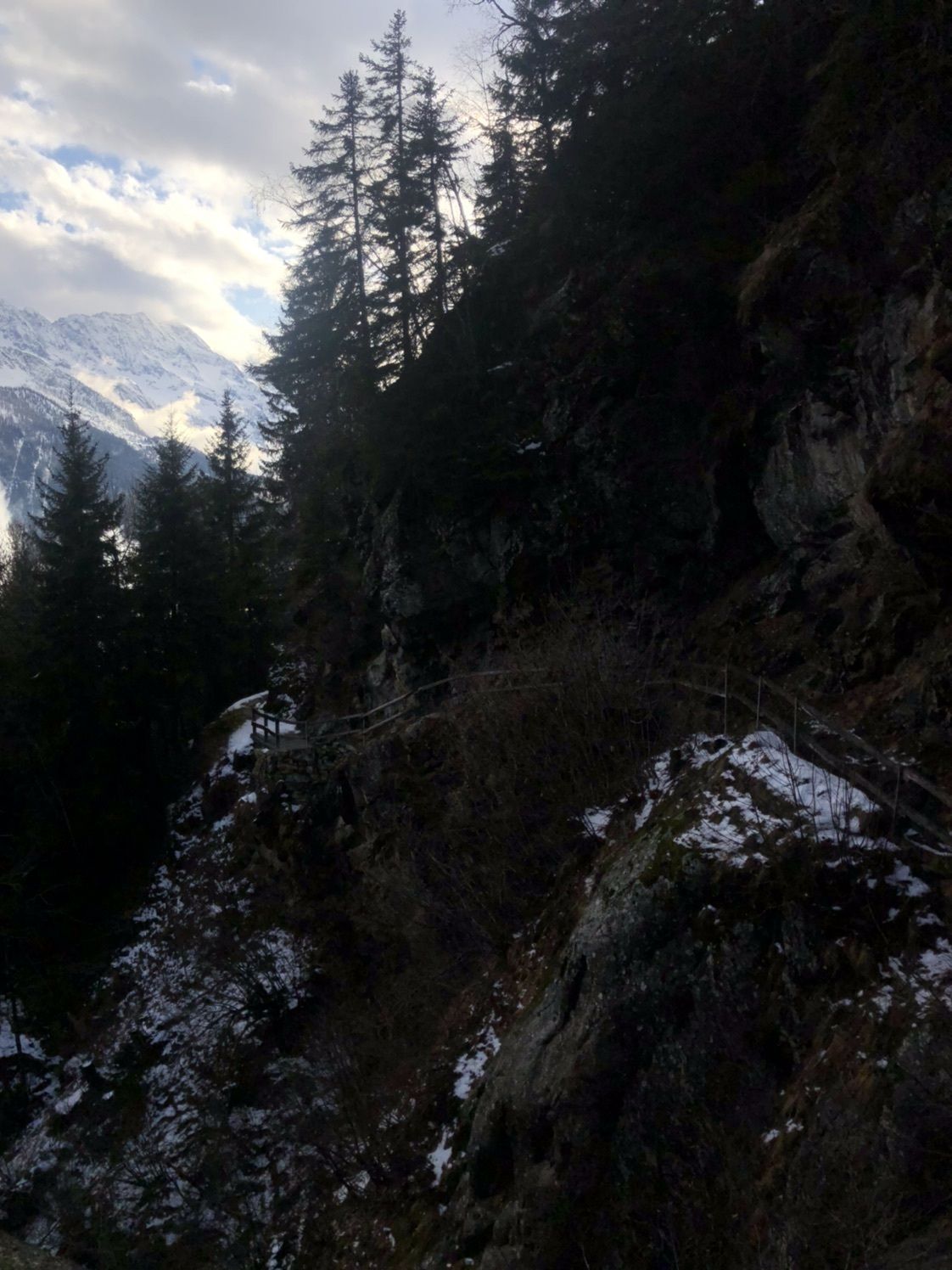
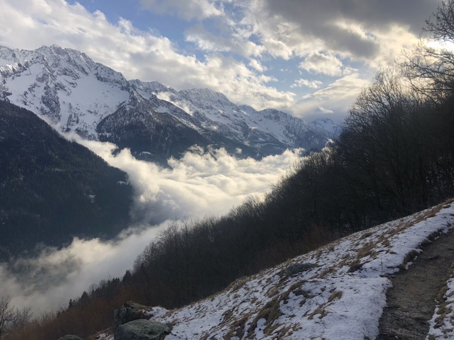
- Väg
-
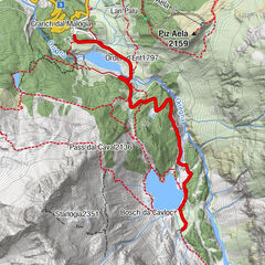
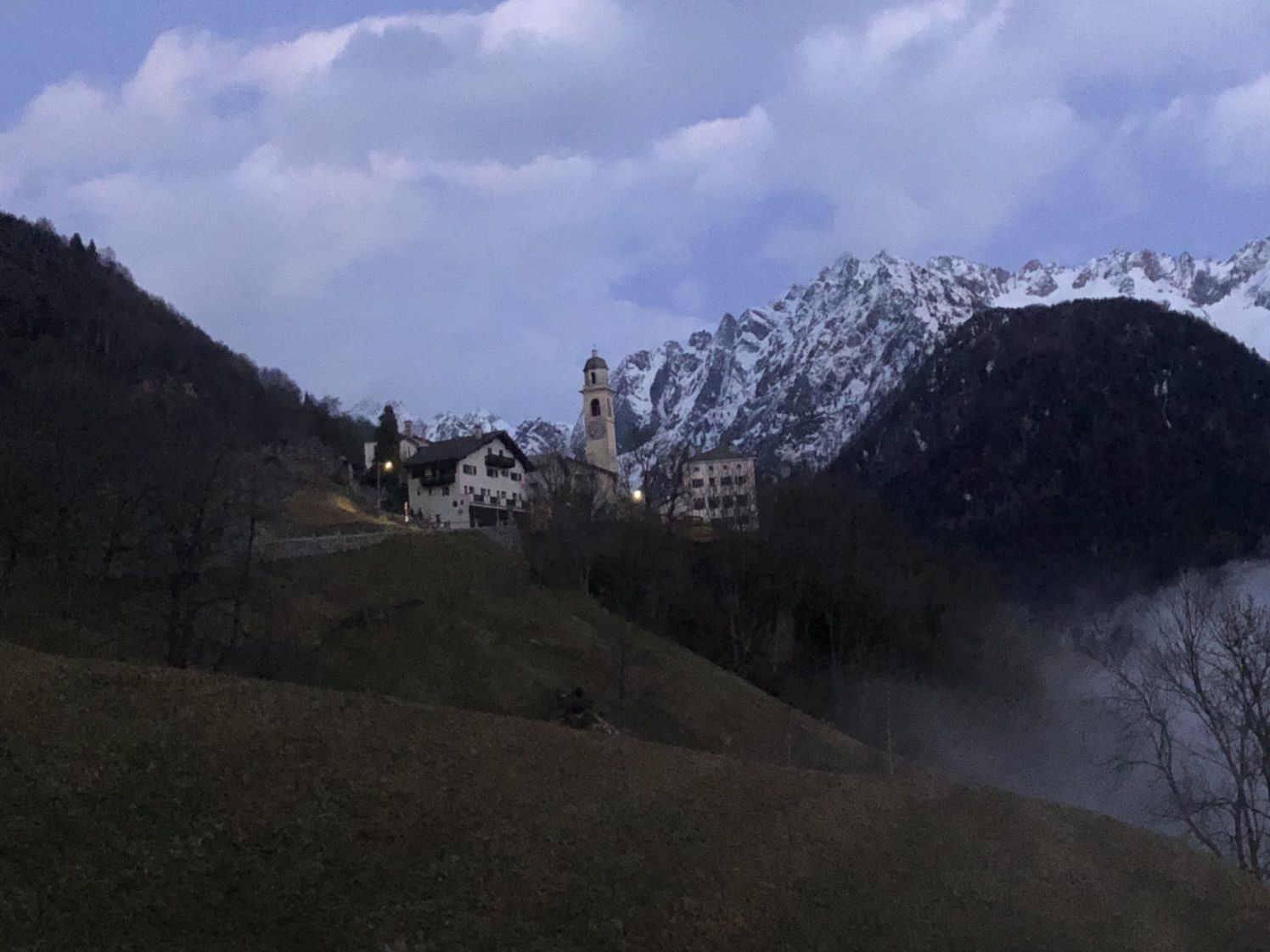
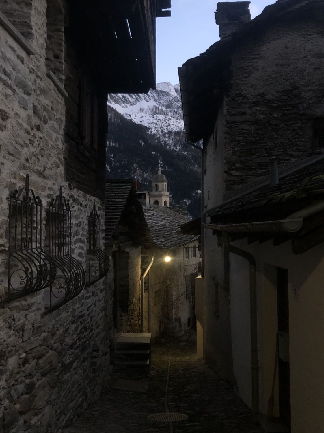
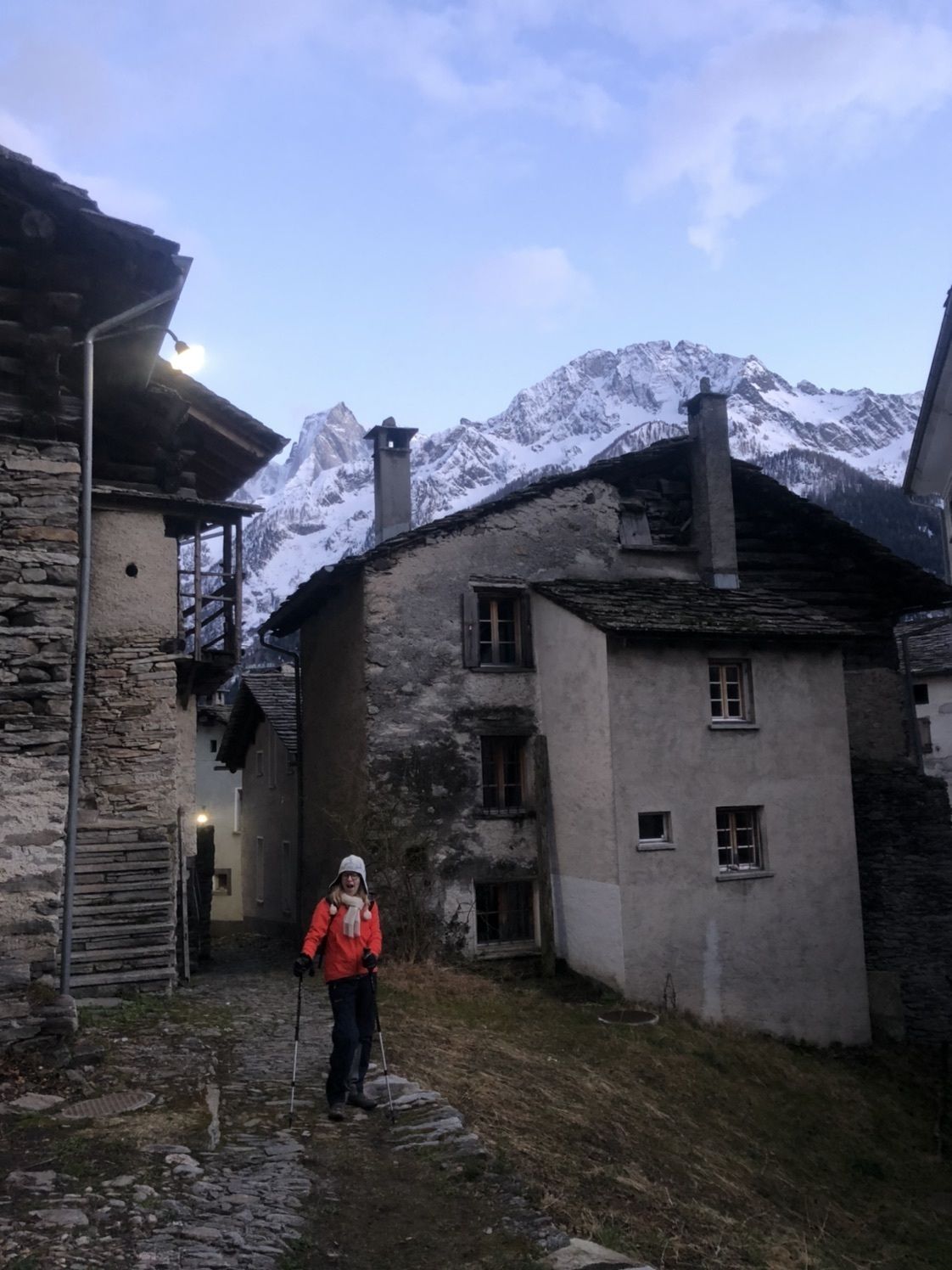
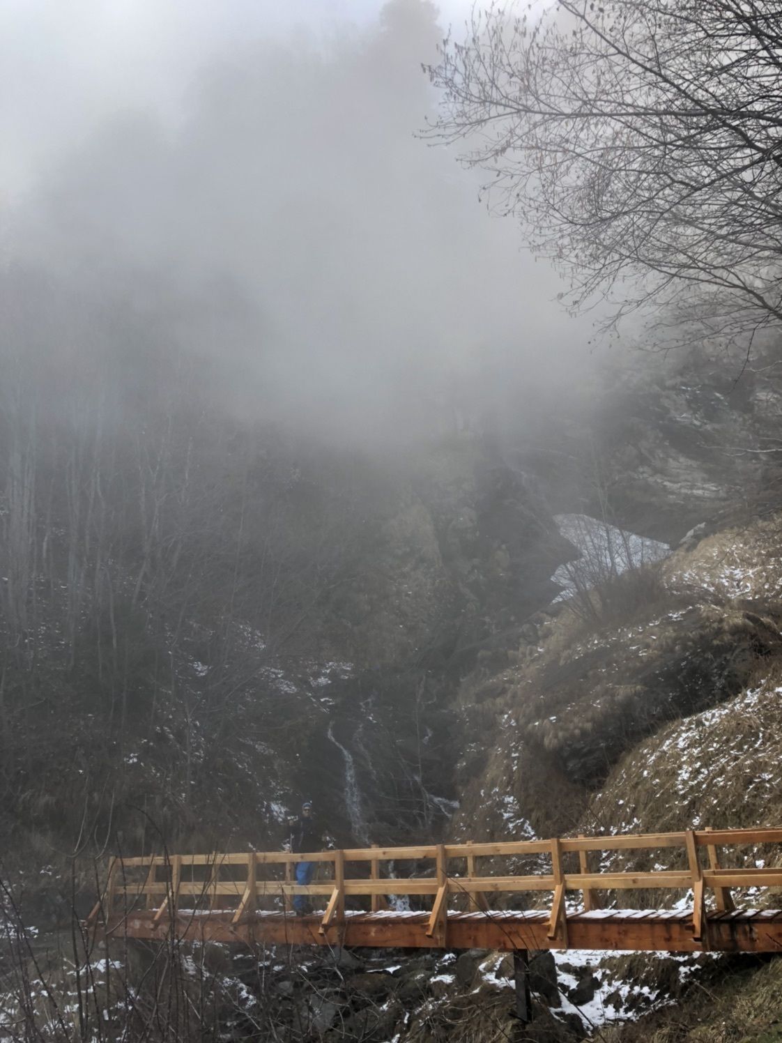
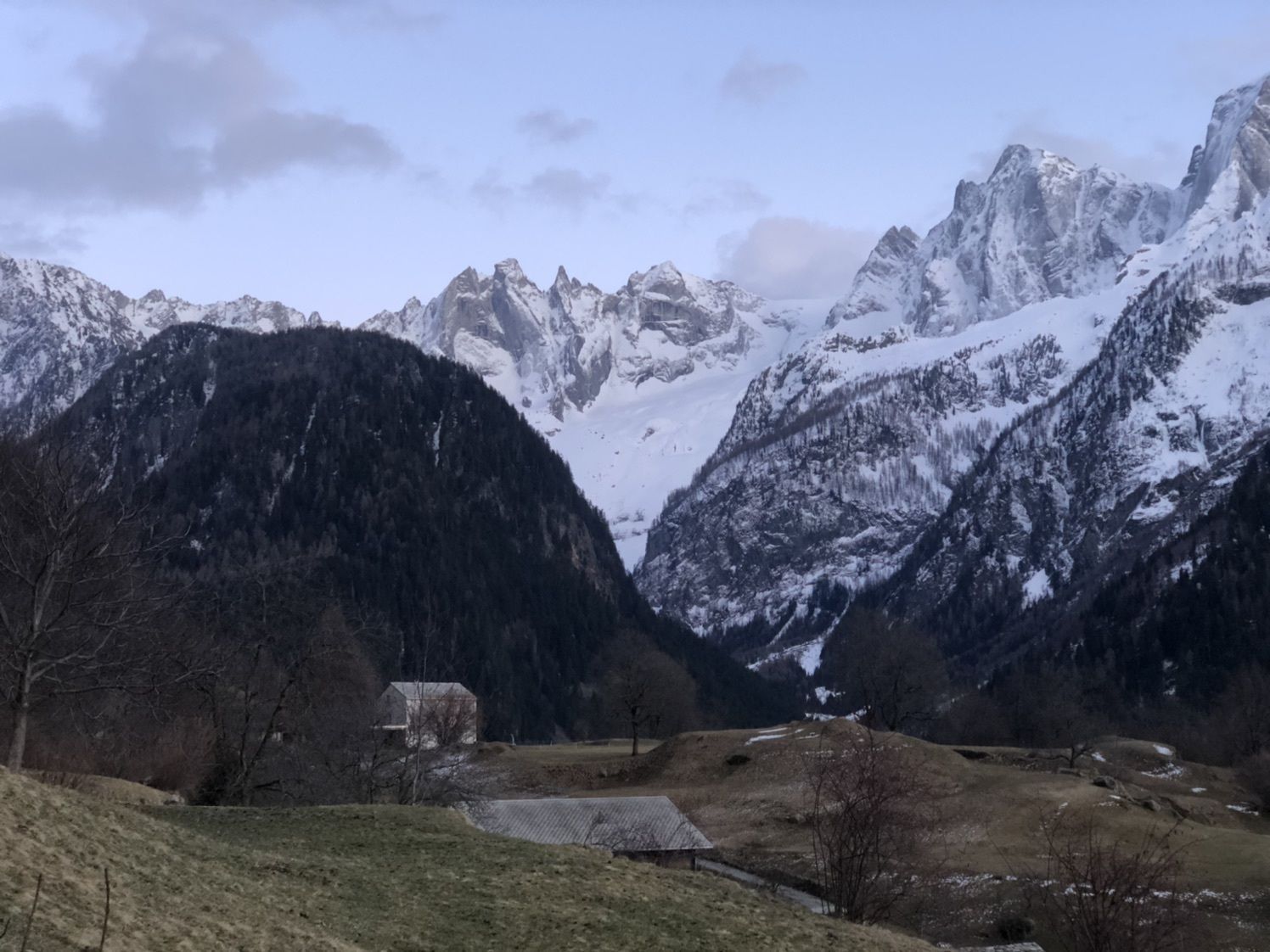
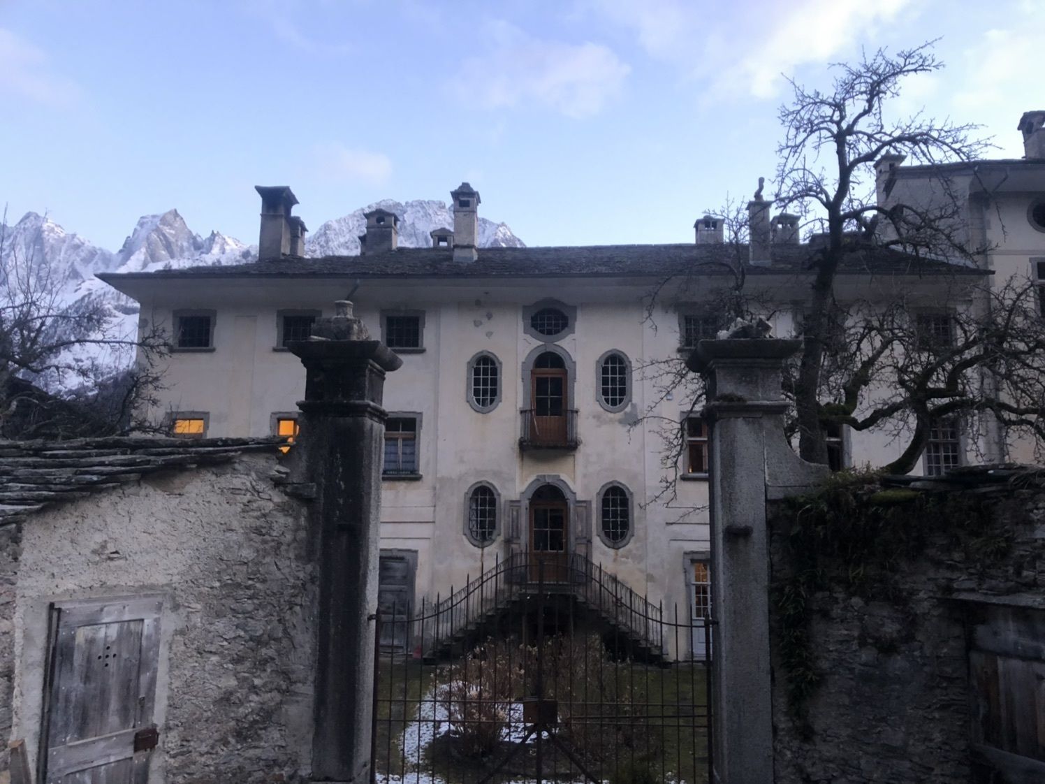
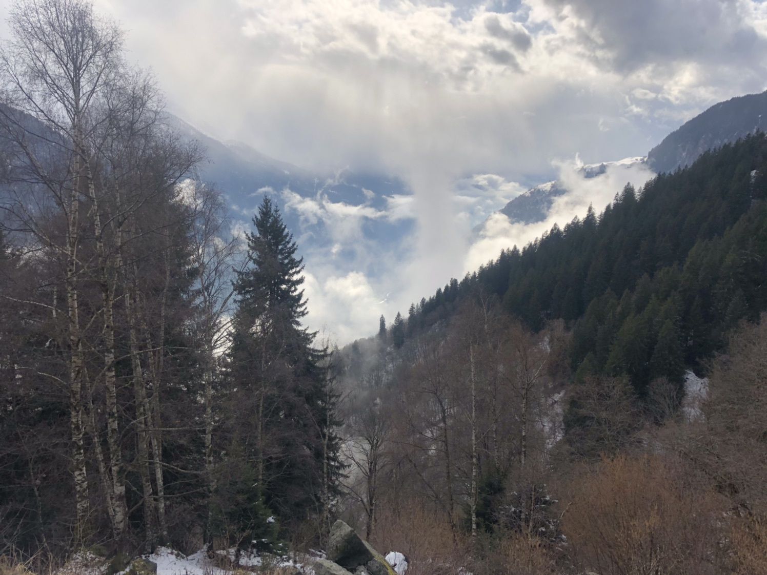
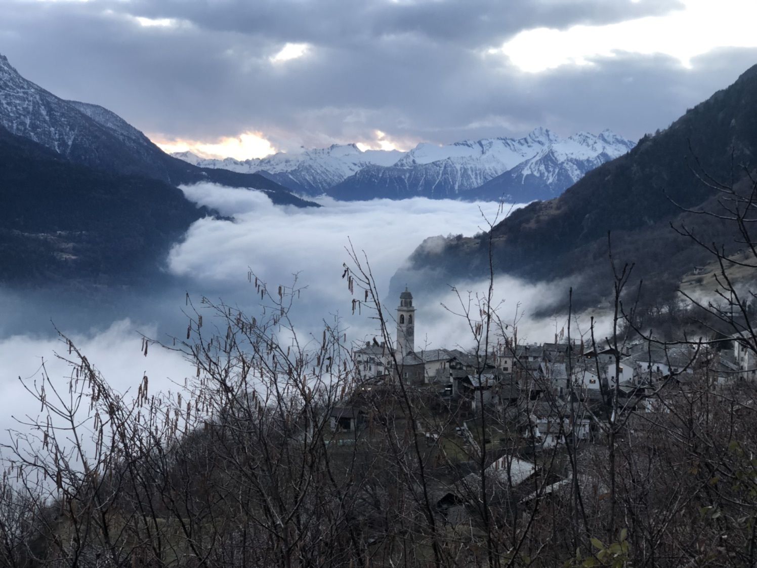
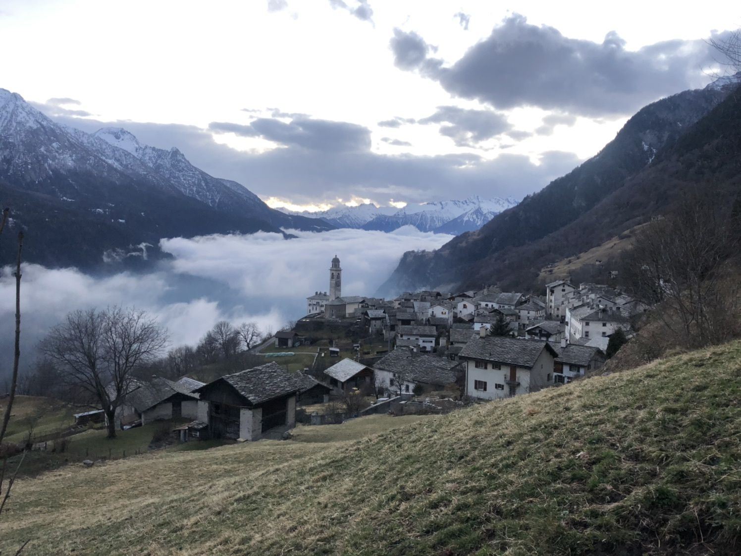
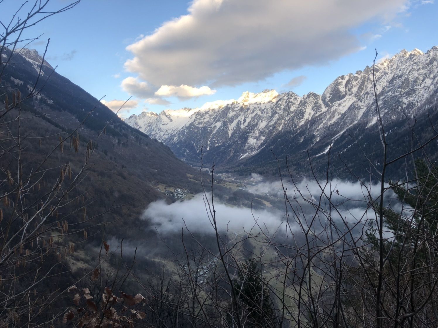
Vicosoprano (1.067 m)0,3 kmPleif0,5 kmFràscian0,8 kmBosca1,5 kmDurbegia3,5 kmParlongh7,0 kmChisturna7,3 kmSils im Bergell (1.097 m)9,7 kmLò9,9 kmReformierte Kirche Soglio10,0 kmStüa Granda10,0 kmSot Funtana10,3 kmCarnella10,3 kmCascate del Caroggia10,9 kmPregüi10,9 kmSpino (793 m)12,9 kmBondo (823 m)13,1 kmPunt Spizarun - Cantiere13,2 kmSottoponte13,4 kmPromontogno (832 m)13,8 km
- Högsta punkt
- 1.502 m


GPS Downloads


Fler turer i regionerna
-
Comer See
27
-
Val Bregaglia Engadin
59
-
Stampa
16