
© Alpdest CEE - Liubomyr Laikun
© Alpdest CEE - Liubomyr Laikun
© Alpdest CEE - Liubomyr Laikun
© Alpdest CEE - Liubomyr Laikun
© Alpdest CEE - Liubomyr Laikun
© Alpdest CEE - Liubomyr Laikun
© Alpdest CEE - Liubomyr Laikun
© Alpdest CEE - Liubomyr Laikun


- Kort beskrivning
-
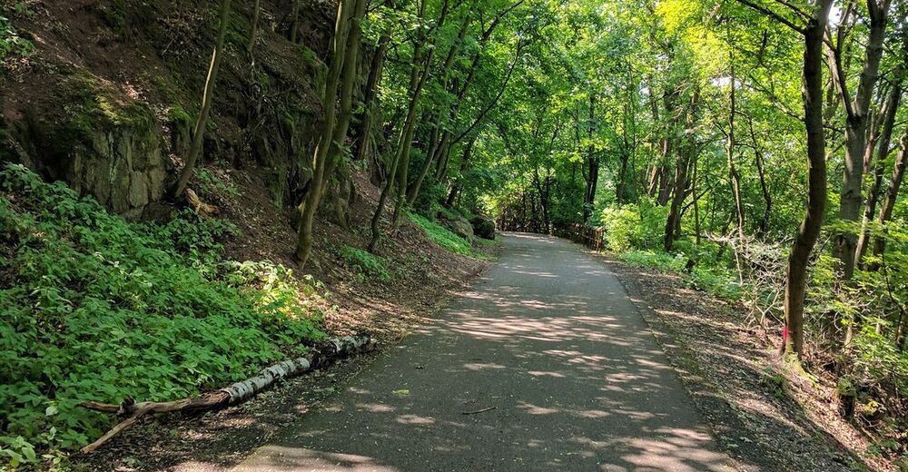
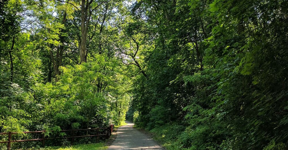
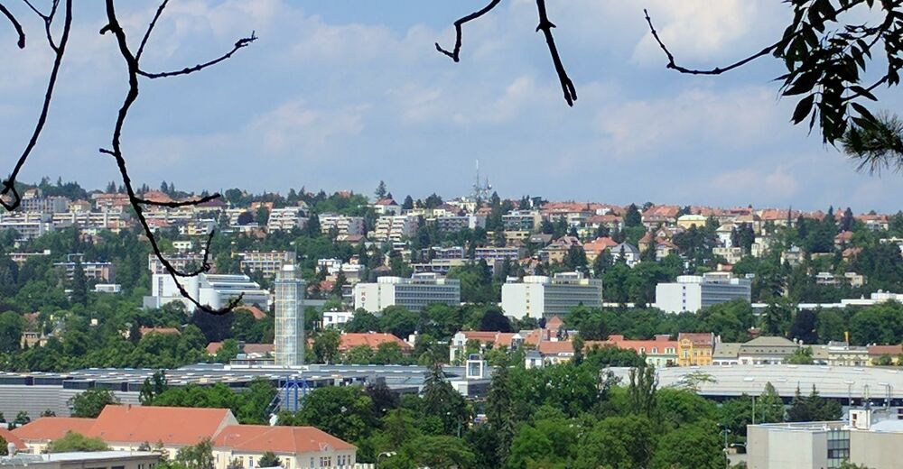
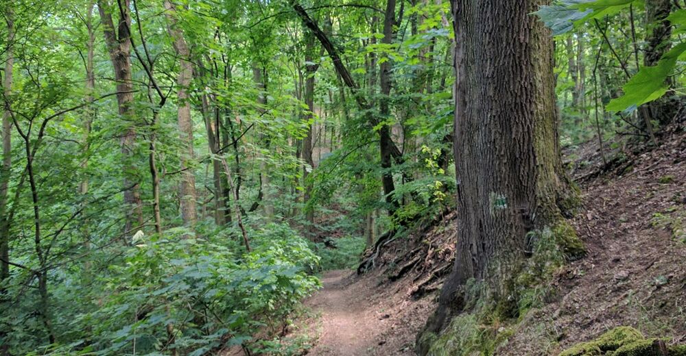
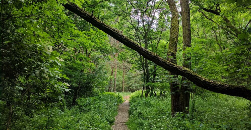
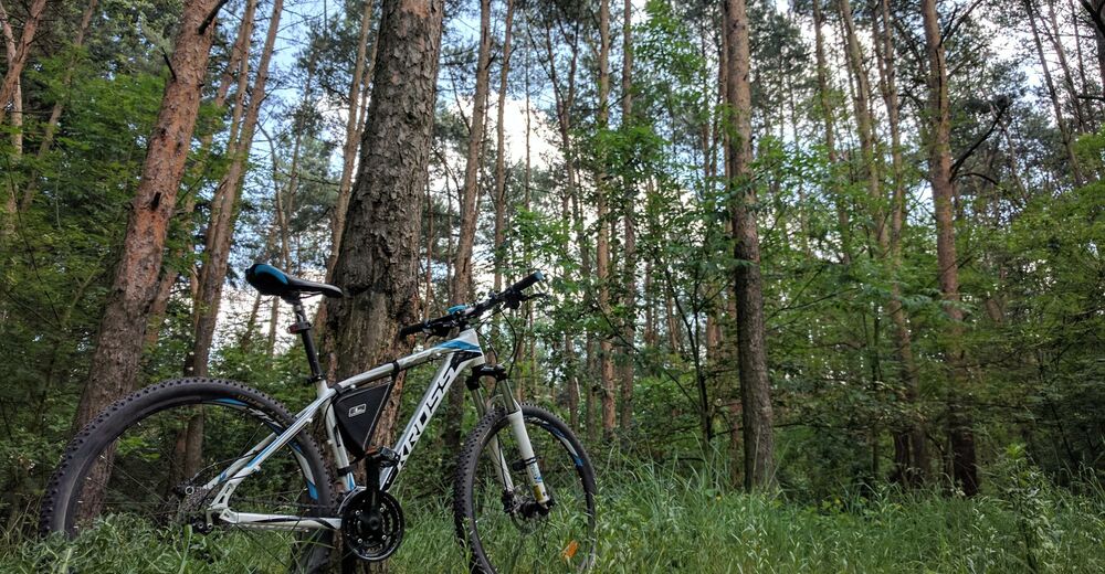
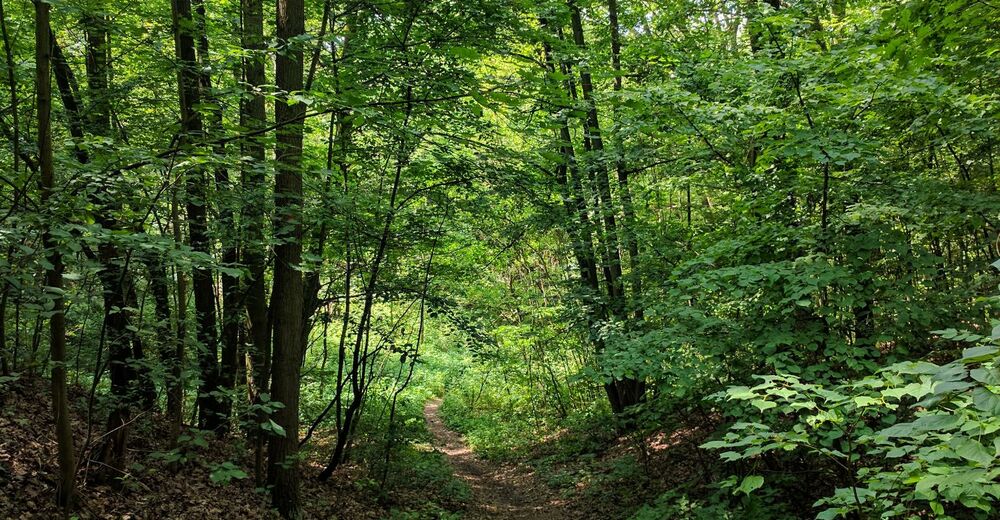
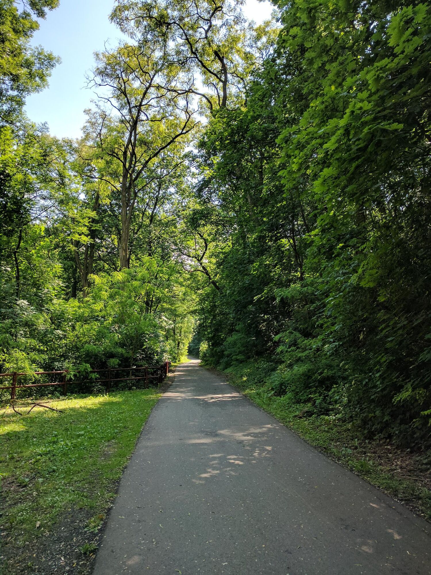
The trail runs along the Svratka riverbank from which it is possible to get up to the peak of Čertův kopec (Devil's Hill) using several different trails. Trail consist of 3.1 km of asphalt road and 1.8 km of dirt road. The first kilometer of the trail opens beautiful views of Staré Brno. Asphalt part of the trail can be easily overcome. After the asphalt road ends the forest path goes up to the highest point of the track.
- Väg
-
Kamenná kolonieBrünnČertík1,9 kmRybnická2,5 km
- Bästa säsongen
-
janfebmaraprmajjunjulaugsepoktnovdec
- Högsta punkt
- 277 m
- Destination
-
Pisárecký most
- Höjdprofil
-
 © outdooractive.com


-

-
FörfattareTurnén Short ride to the Čertův kopec (Devil's Hill) används av outdooractive.com förutsatt.
GPS Downloads


Vägar
Rättegång
Allmän information
Lovande
Fler turer i regionerna
-
Südmähren
14
-
Brünn und Umgebung
11