


- Kort beskrivning
-
A warm welcome!
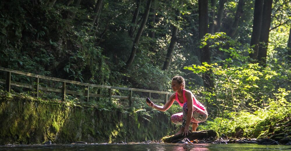
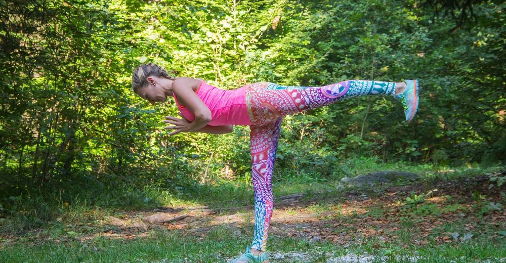
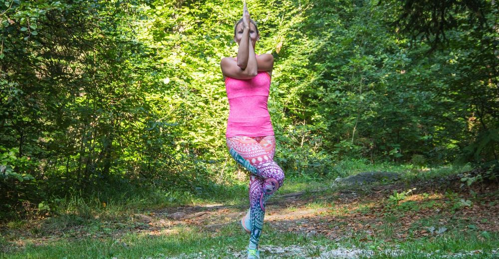
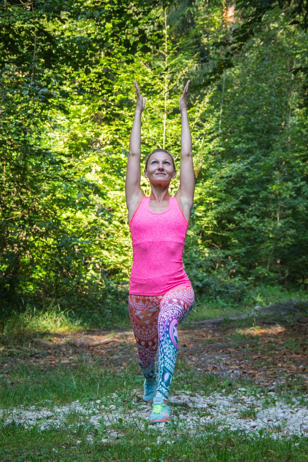
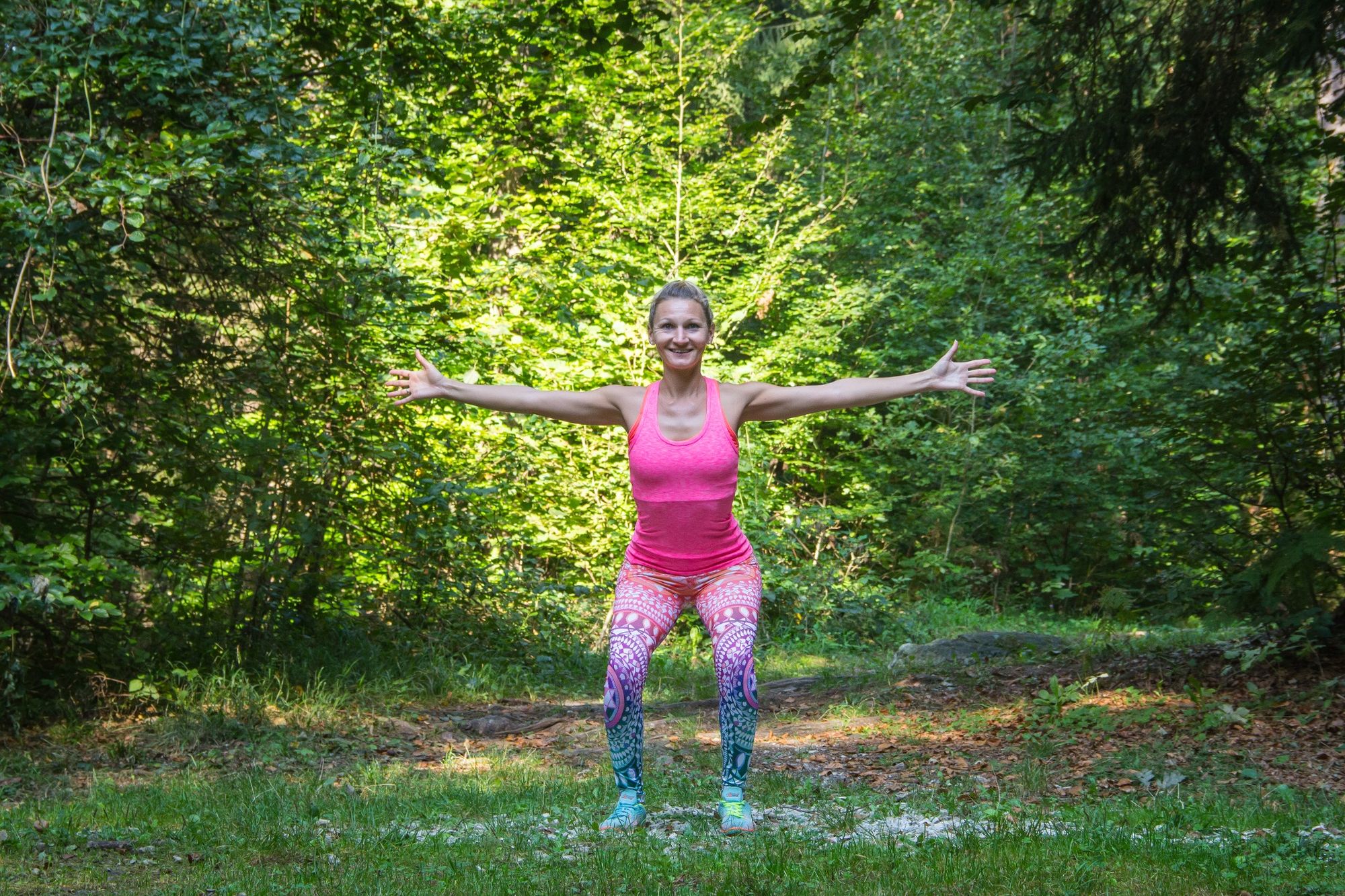
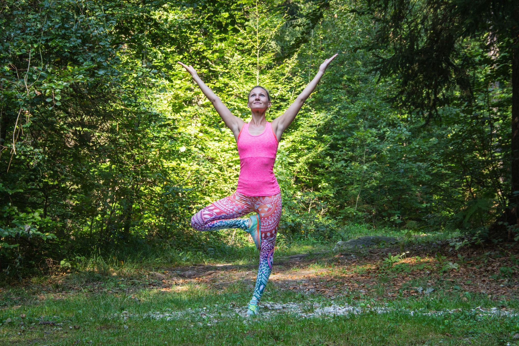
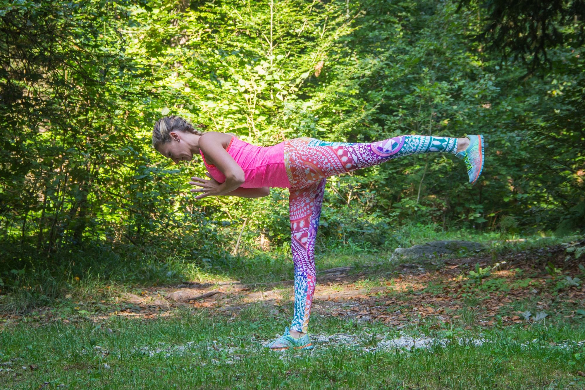
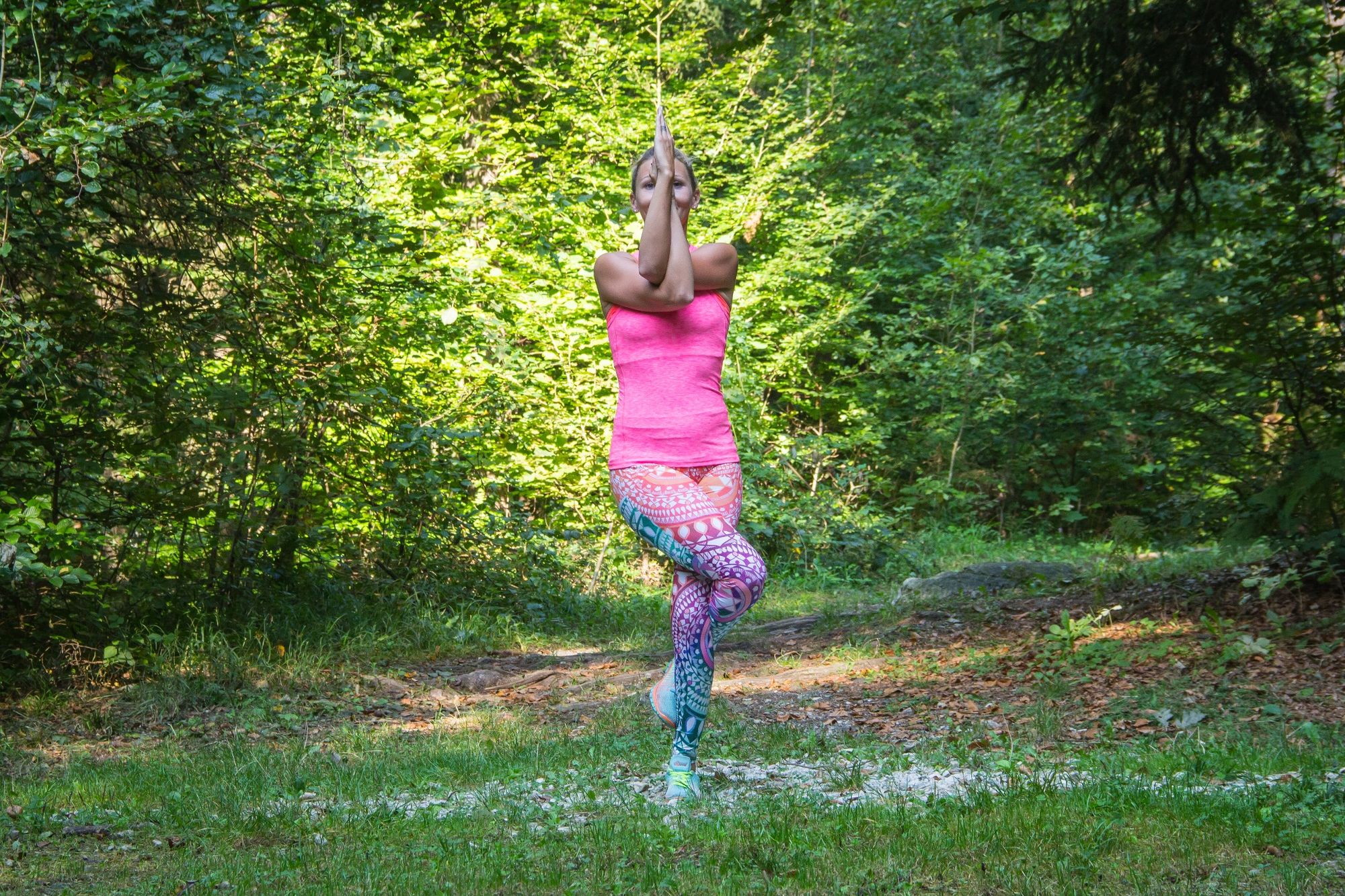
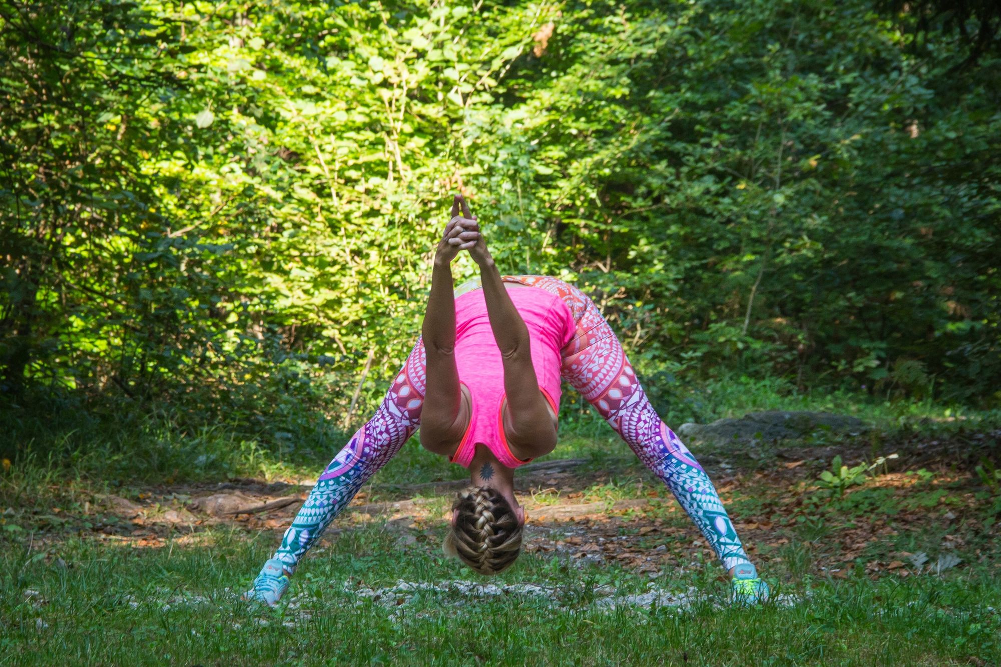
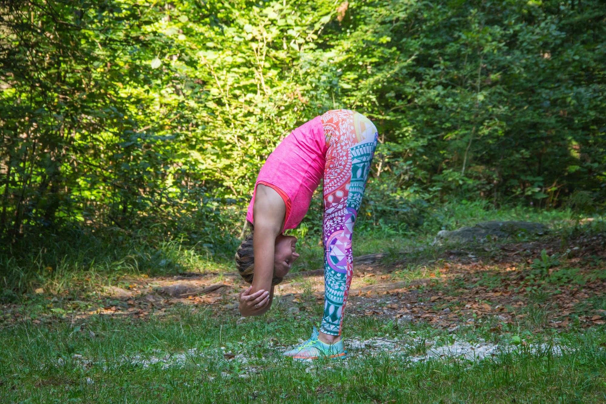
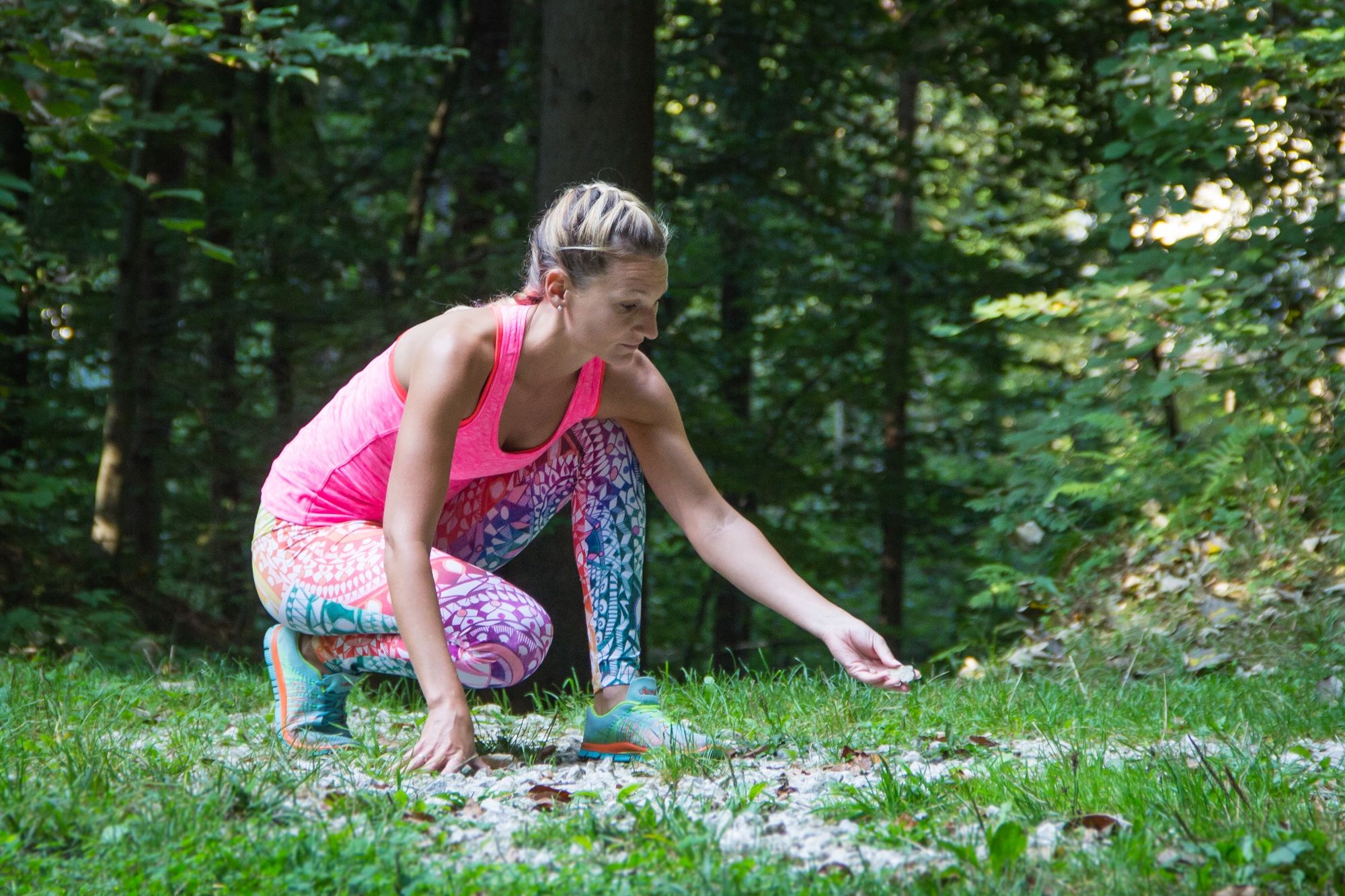
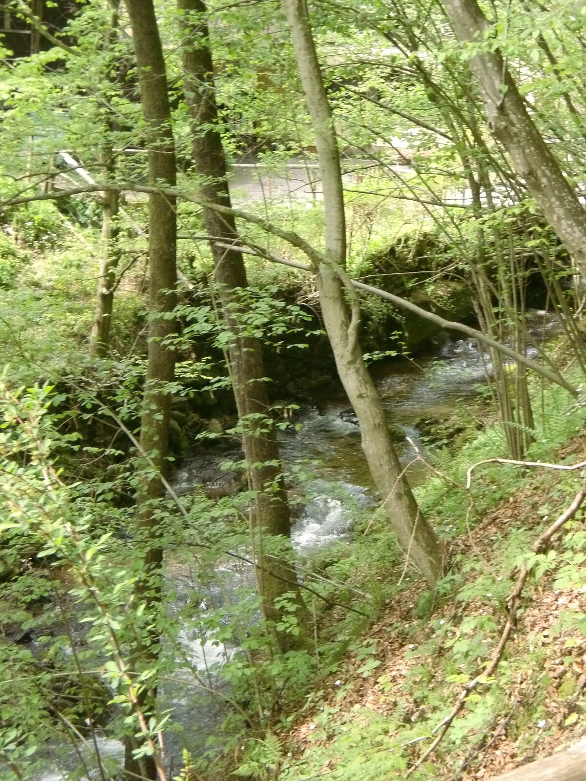
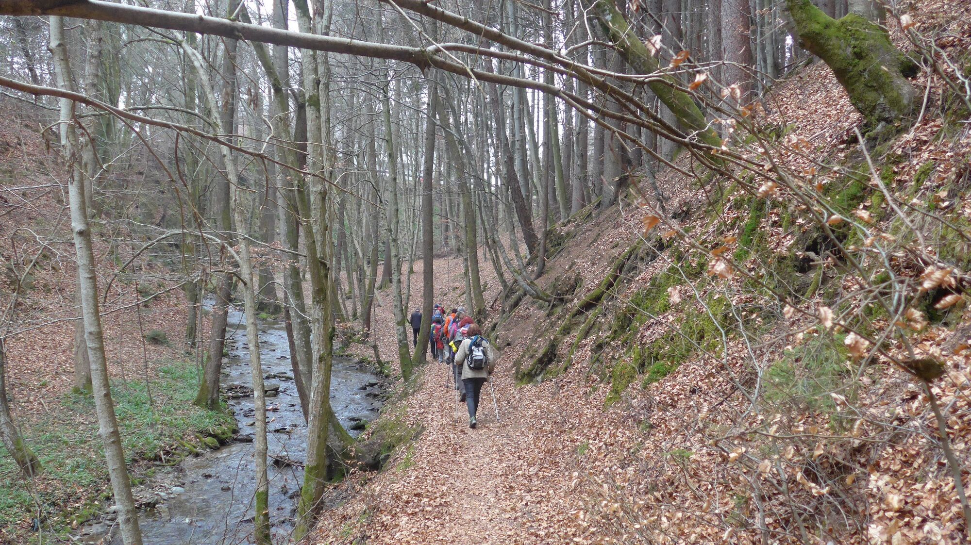
Yoga becomes a very special experience in the great outdoors. The romantic Teufelsgraben (Devil's Ditch) near Velden is just the right place to move in the open air while directing your attention inwards. In the Teufelsgraben you enter a wonderful natural space through an old stone viaduct. The tall trees sway gently in the wind, the mild murmur of the stream calms the thoughts and the earthy forest floor conveys serenity and stability.
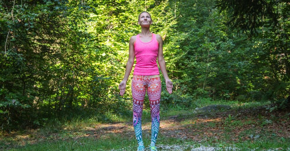
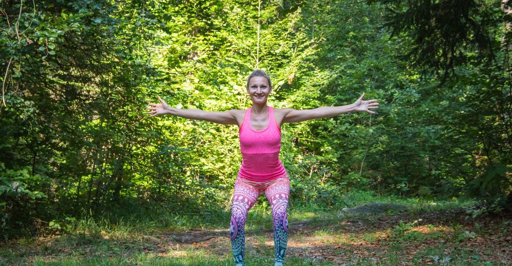
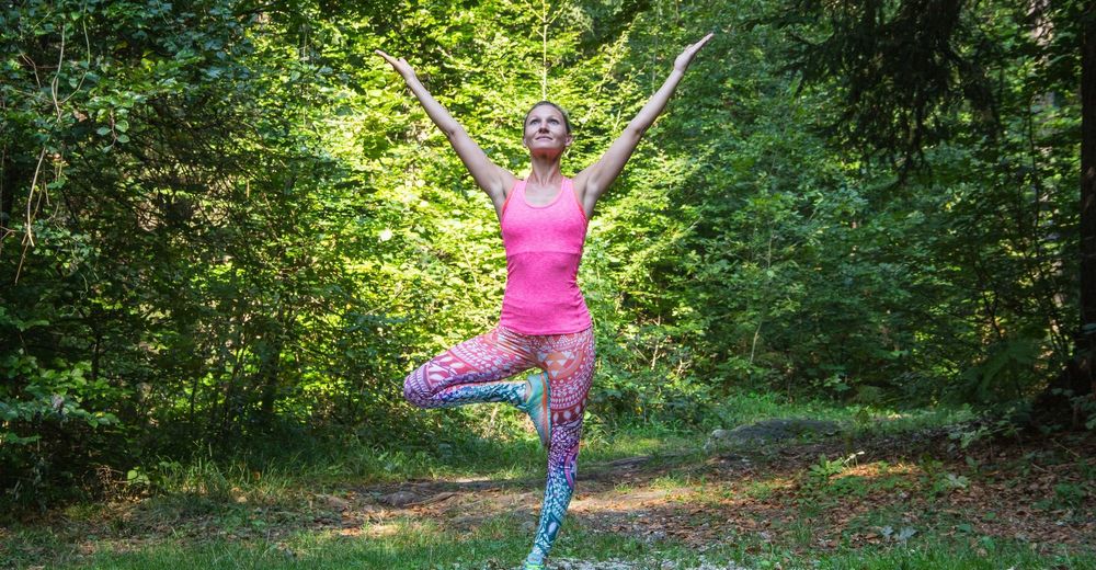
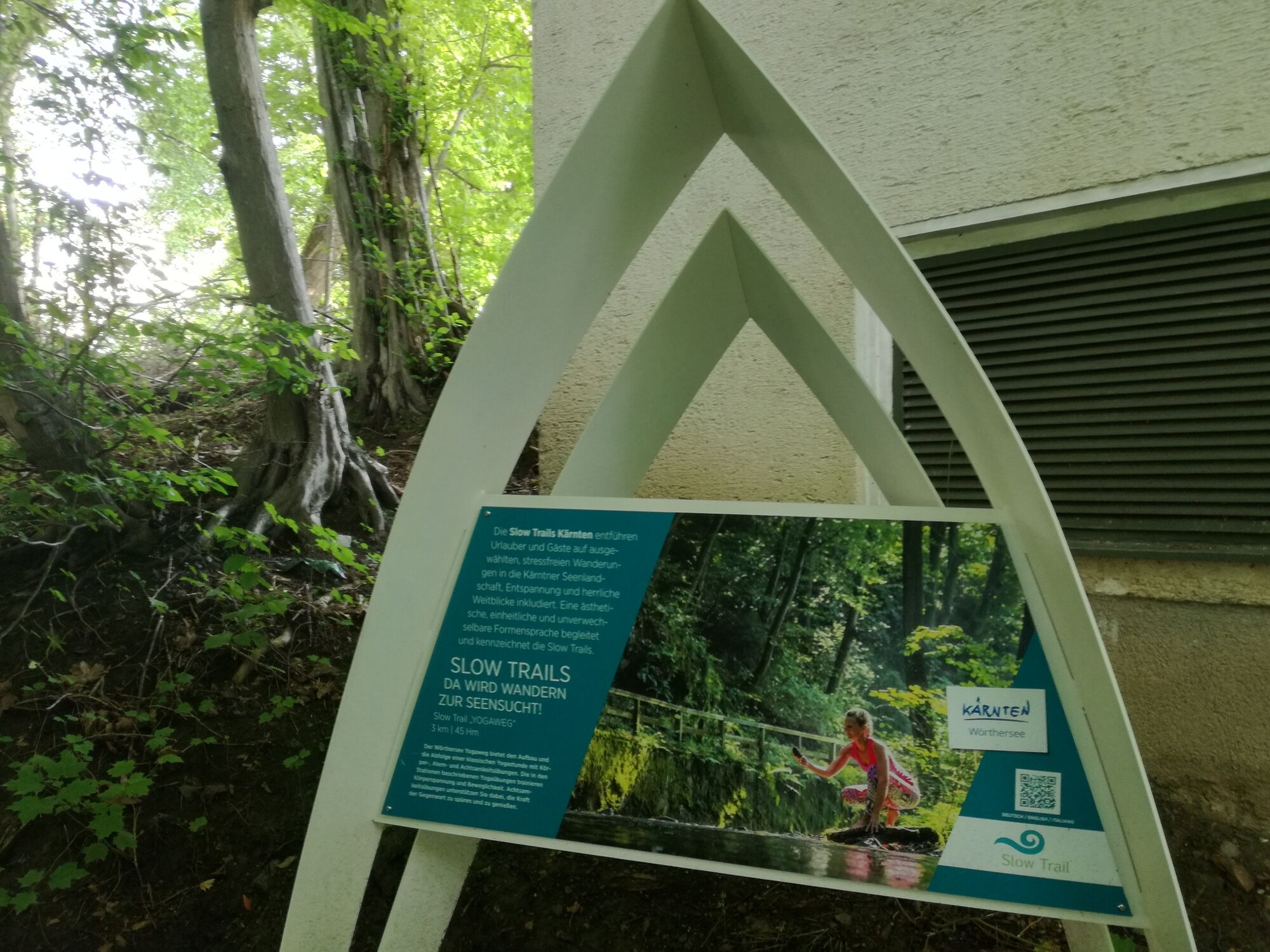
The Slow Trail yoga path offers the structure and sequence of a classical yoga class with physical, breathing and mindfulness exercises. The yoga exercises described in detail in the respective stations train both body tension and flexibility. The mindfulness exercises support you in feeling and enjoying the power of the present.
Mag.a Petra Musenbichler, sports scientist & yoga teacher
"The yoga path is a wonderful opportunity to experience nature with all your senses and to feel your own body. You can give free rein to your urge to move, consciously breathe the fresh forest air and observe how your head becomes freer and your body more alive with every moment!"
- Svårighet
-
lätt
- Utvärdering
-
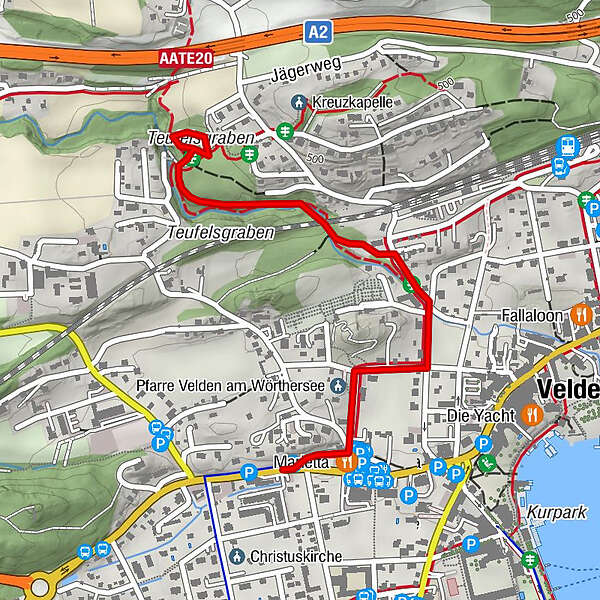
- Väg
-
Pfarre Velden am Wörthersee0,2 kmVelden0,5 kmKranzlhofen1,4 km
- Bästa säsongen
-
janfebmaraprmajjunjulaugsepoktnovdec
- Högsta punkt
- 487 m
- Destination
-
Tourismusinformation Velden
- Höjdprofil
-


- Författare
-
Turnén Slow Trail - Yogaweg (Start Tourismusinformation Velden) används av outdooractive.com förutsatt.