© Terra Dinarica - Alan Čaplar
© Terra Dinarica - Alan Čaplar
© Terra Dinarica - Planinarsko društvo Obručč
© Terra Dinarica - Darko Mohar
© Terra Dinarica - Alan Čaplar
© Terra Dinarica - Alan Čaplar
© Terra Dinarica - Slavko Patačko
© Terra Dinarica - Damir Bajs
© Terra Dinarica - Alan Čaplar

- Kort beskrivning
-
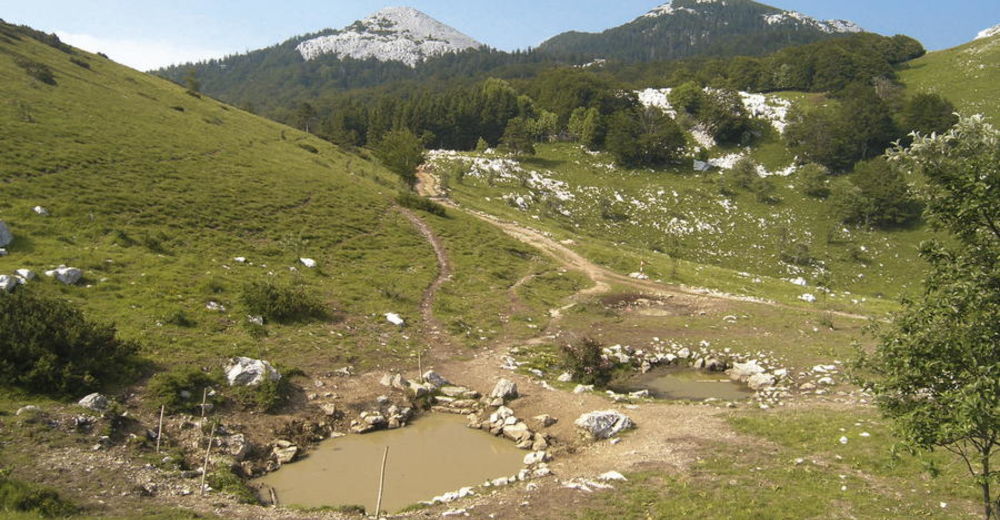
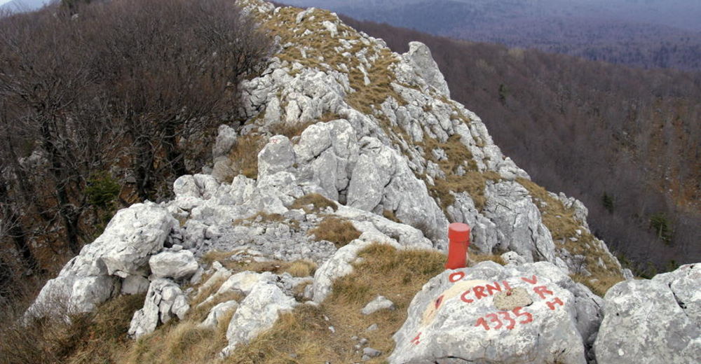
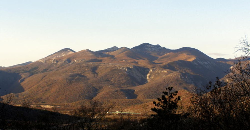
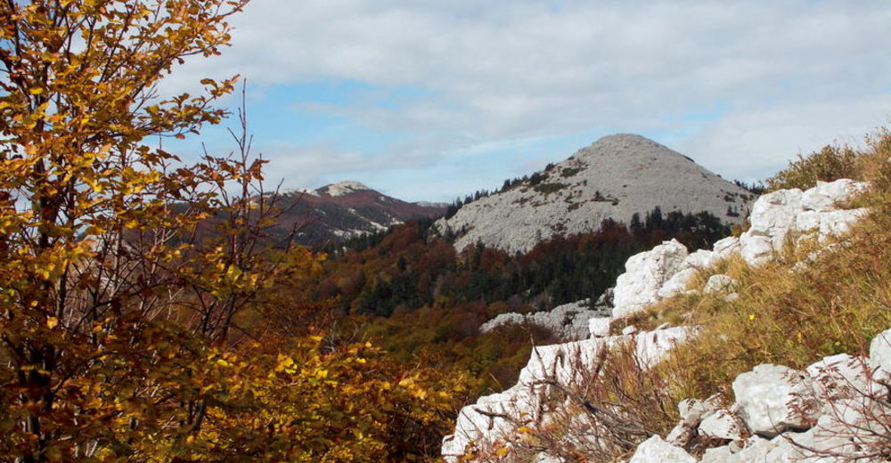
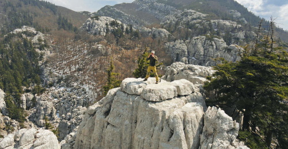
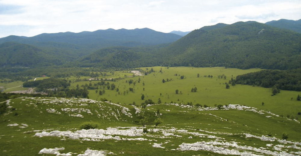
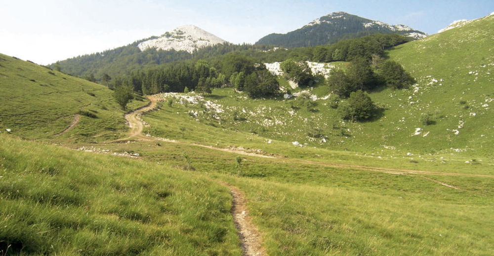
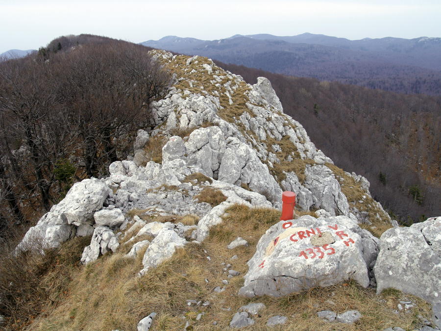
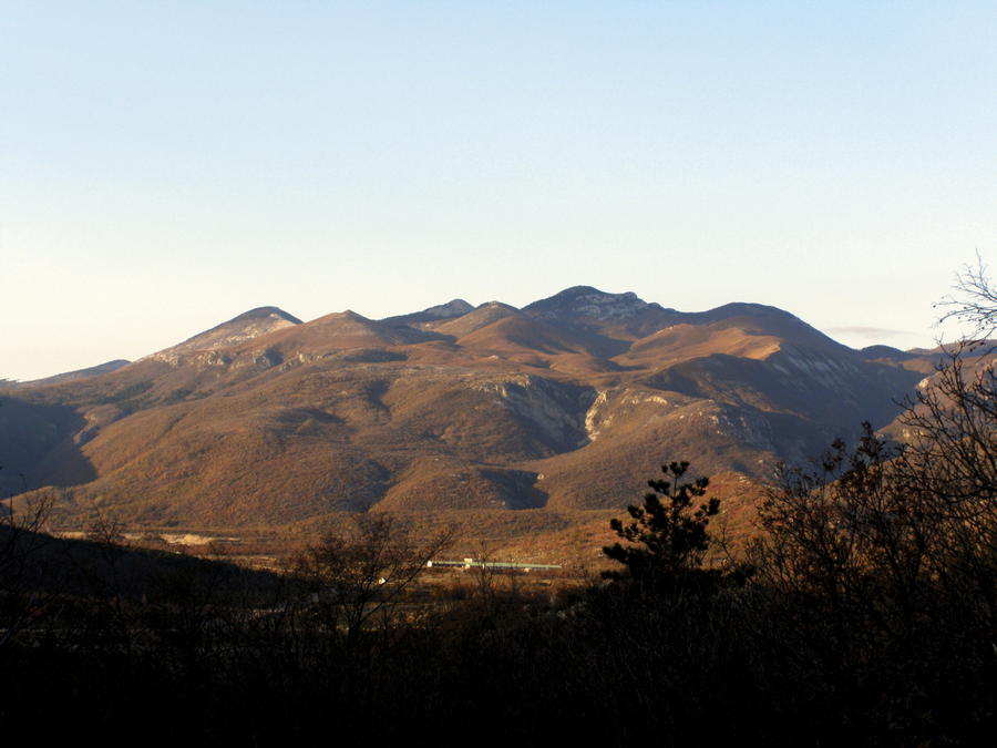
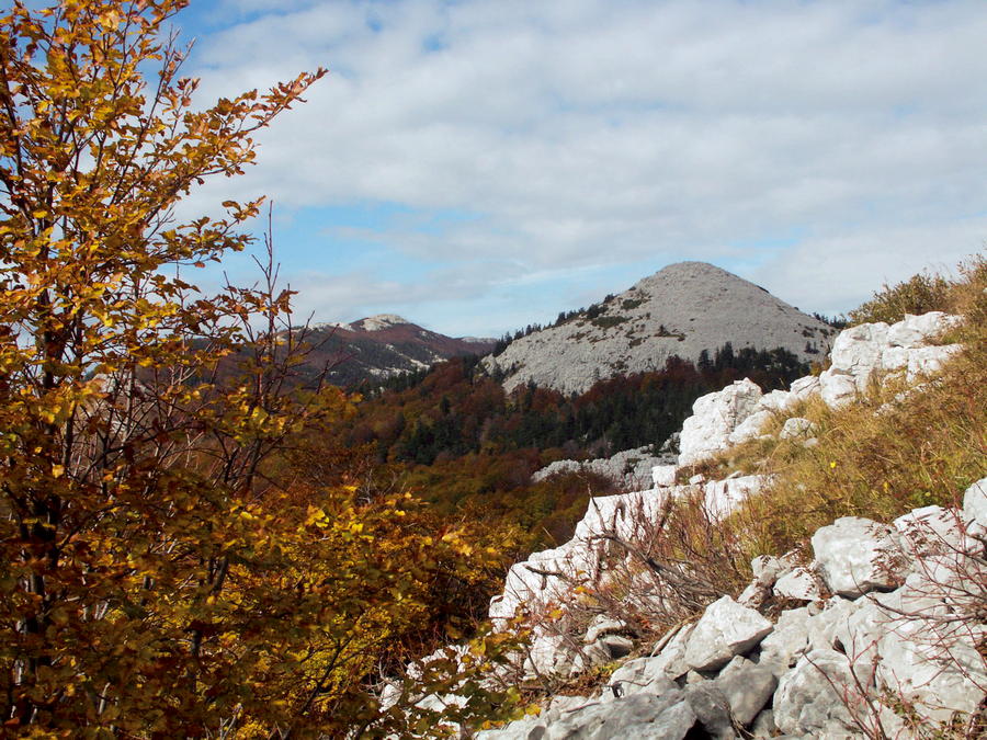
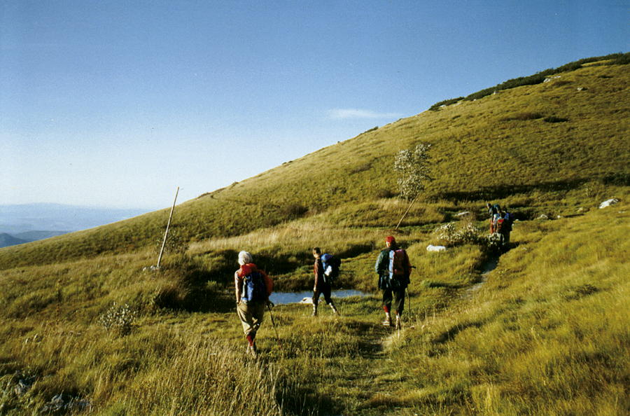
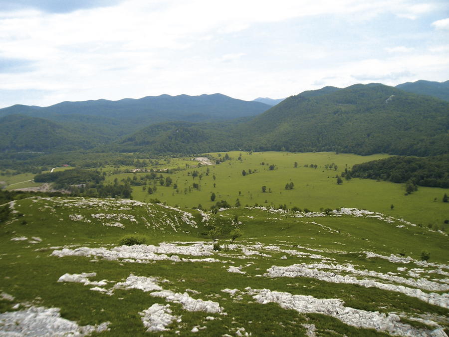
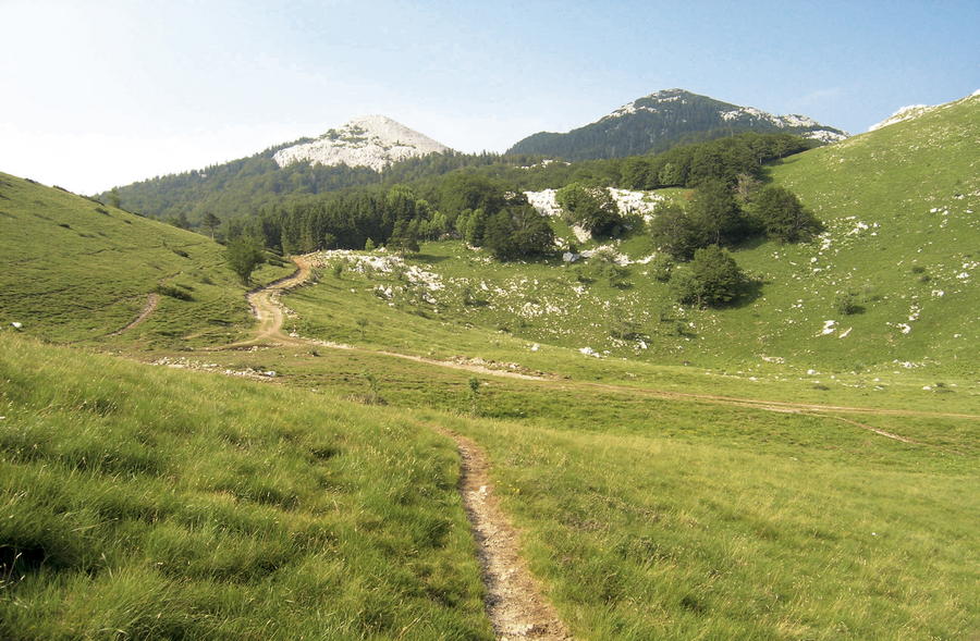
On the littoral side, the massif of Obruč rises above the field of Grobničko polje. The mountain is characterized by beautiful meadows, grasslands and rocky peaks. Almost all peaks offer wide views of the area of the Croatian Littoral, the mountain of Učka and the region of Gorski kotar. Hikers frequently refer to this series of peaks as Grobničke Alpe (the Grobnik Alps), since these white rocky peaks truly resemble their Alpine counterparts. The flora in the area is unusually rich and interesting, given the mix of the Mediterranean and continental climate influences.
- Svårighet
-
medium
- Utvärdering
-
- Väg
-
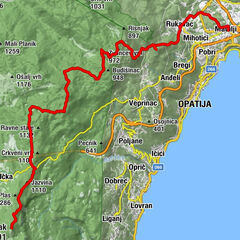
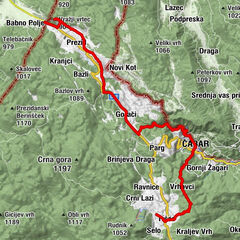
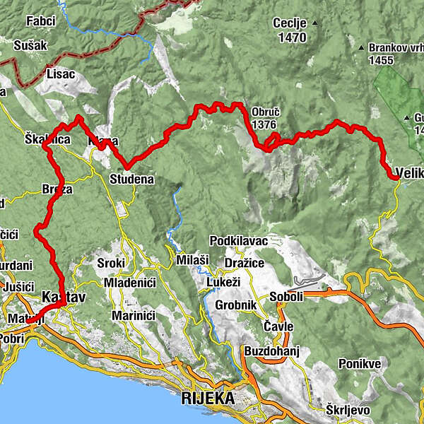
MattuglieFerlania0,6 kmCastua2,2 kmCrkva svetog Sebastijana i svetog Fabijana2,3 kmDvorska crkva Svete Trojice2,4 kmZvirić5,2 kmŠparožna jama L 607 T 1127,1 kmCrkva Blažena Djevica Marija9,2 kmBresa9,5 kmScalnizza12,6 kmS. Rocco17,6 kmClana17,7 kmSv. Mihovil18,3 kmŠkrile20,8 km051 21021,2 kmMržljak21,3 km051 32622,5 kmPitka voda25,9 kmVojak (916 m)26,4 kmObruč (1.376 m)29,7 kmFratar (1.353 m)33,4 kmPlaninarski dom Hahlić (1.097 m)34,7 kmMali Pribeniš44,3 kmVeliki Dom Restaurant44,8 kmVeliki dom "Platak"44,8 km
- Bästa säsongen
-
janfebmaraprmajjunjulaugsepoktnovdec
- Högsta punkt
- 1.352 m
- Destination
-
Mountain hut Hohlić
- Höjdprofil
-
 © outdooractive.com


-

-
FörfattareTurnén HR-B-04 Grobničke Alpe används av outdooractive.com förutsatt.
GPS Downloads


Fler turer i regionerna
-
Opatija
11