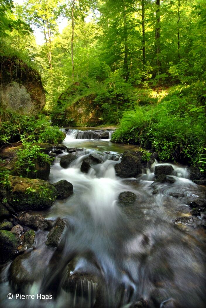
© Visit Luxembourg - Pierre Haas


- Kort beskrivning
-
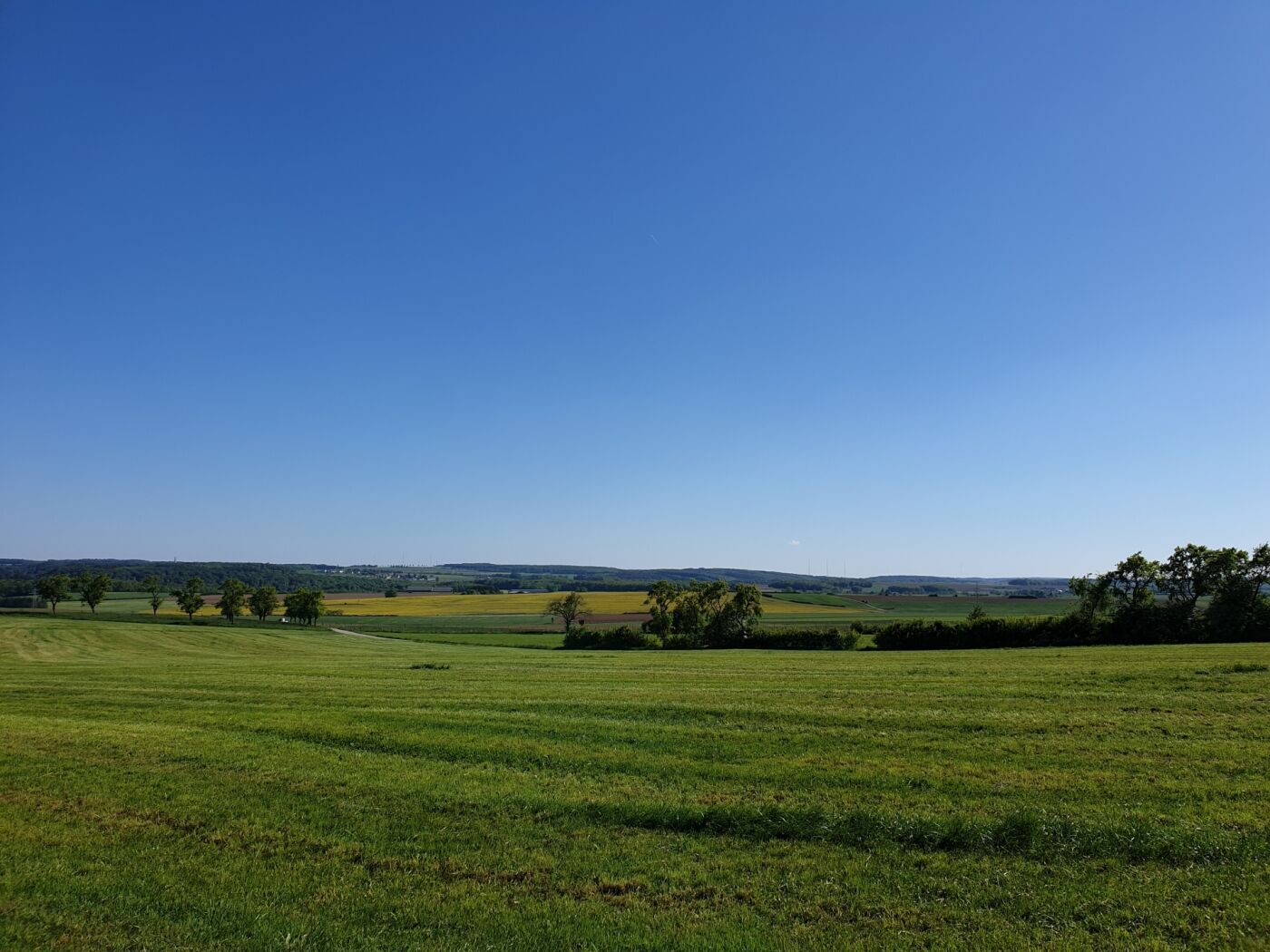
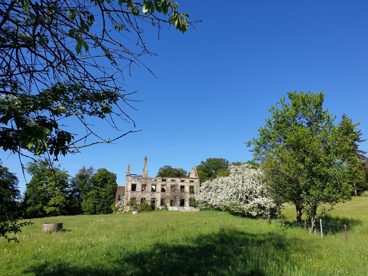
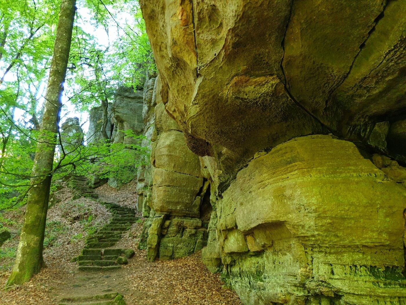
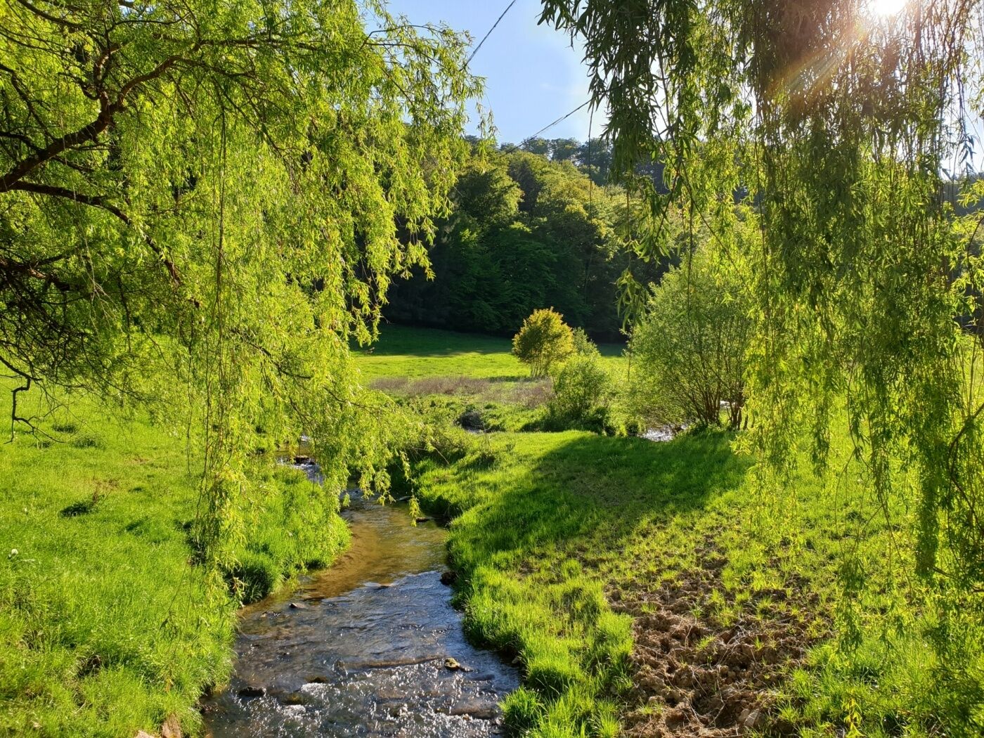
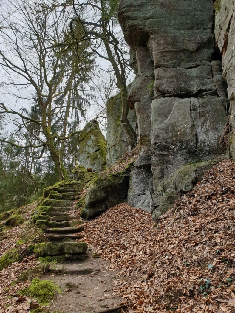
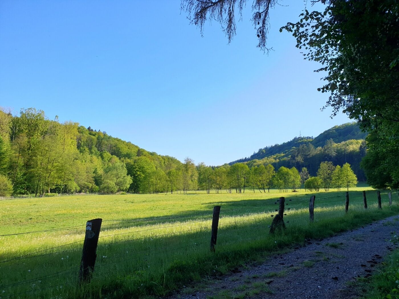
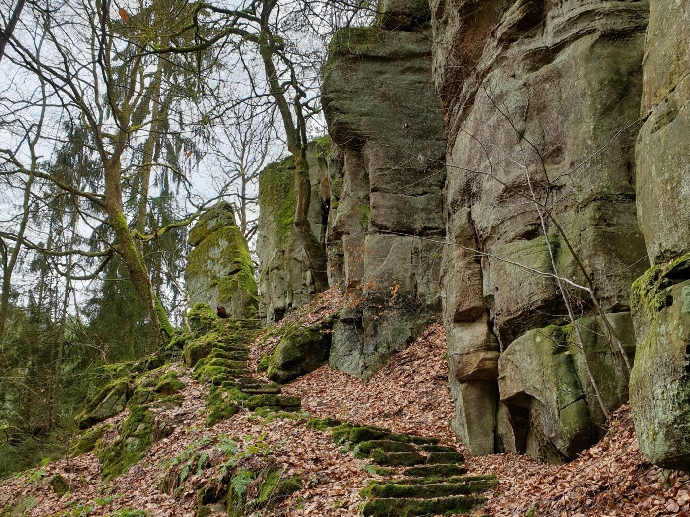
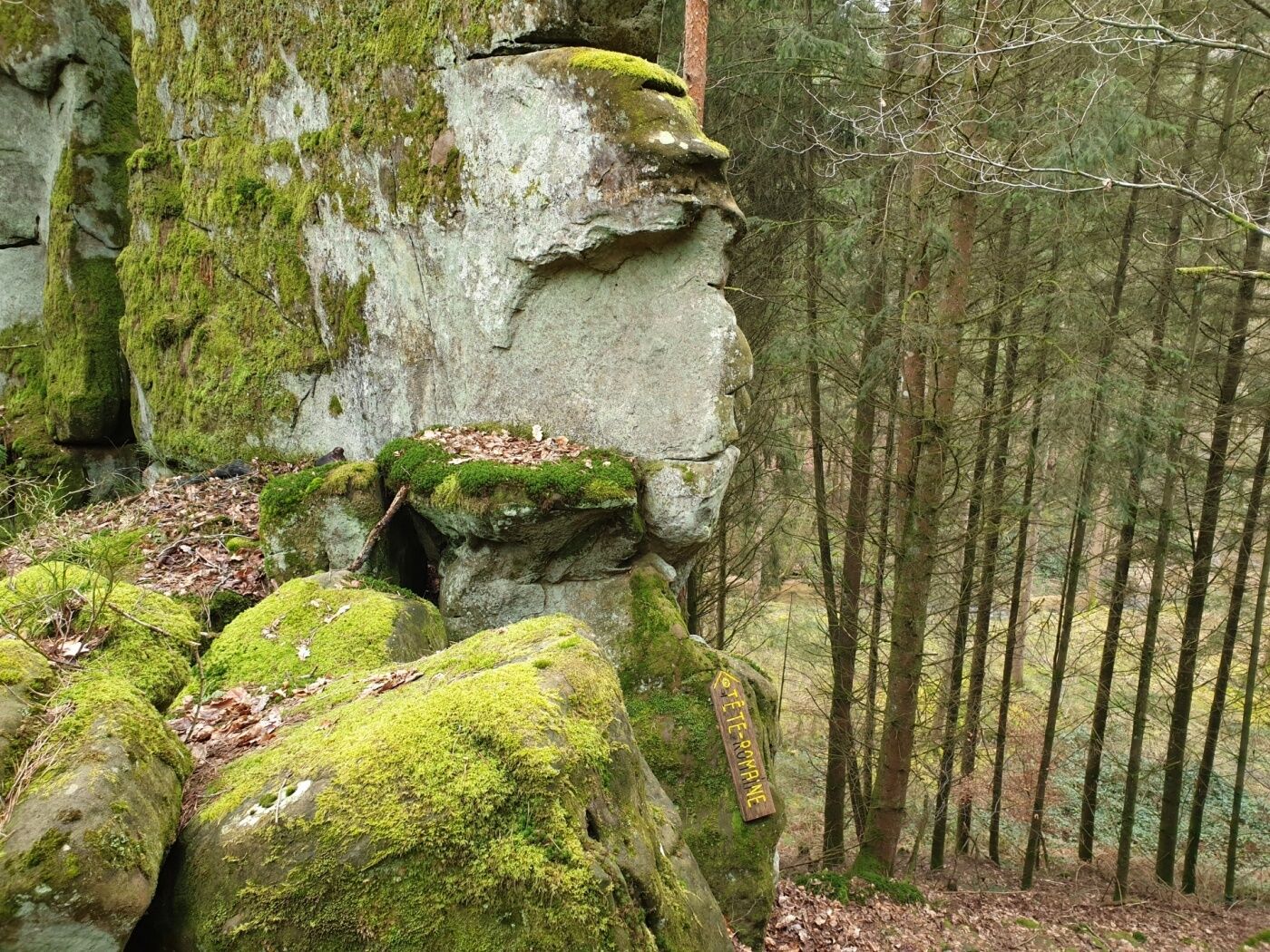
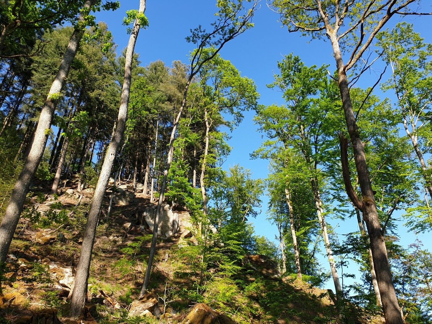
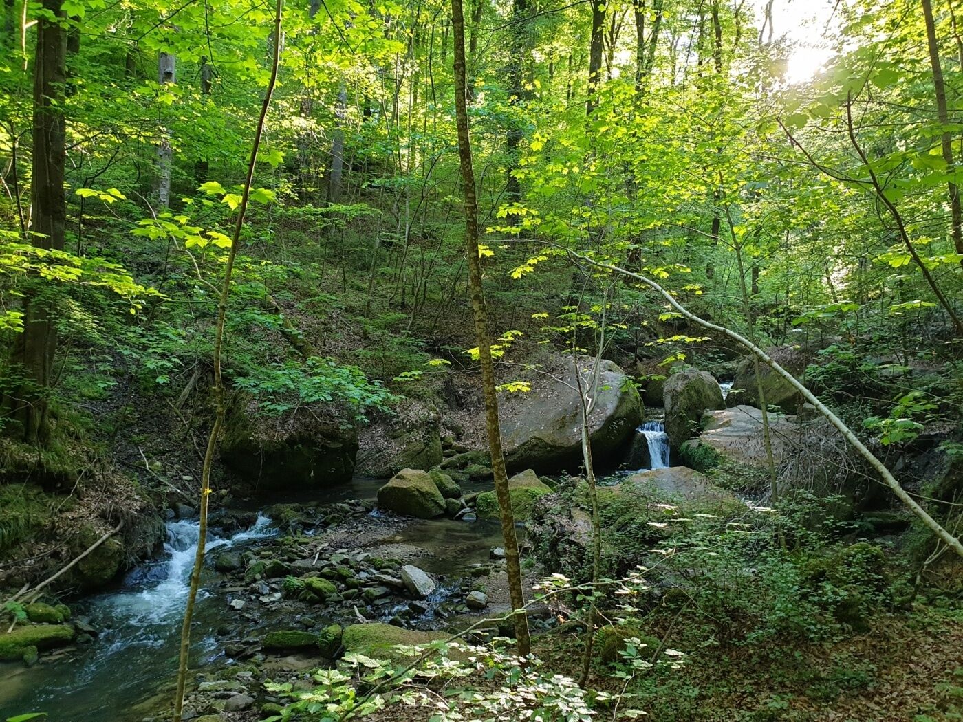
Varied tour past spectacular rock formations and along the Black Ernz , one of the most distinctive streams in the region.
- Svårighet
-
medium
- Utvärdering
-
- Väg
-
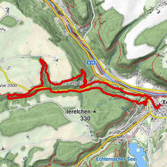
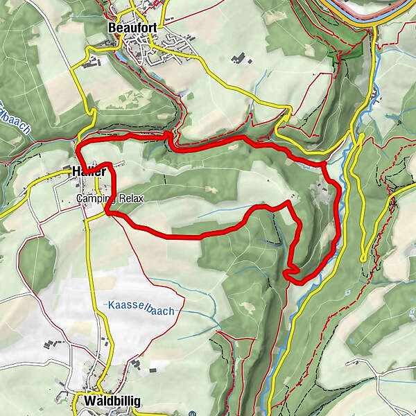
Brenschenterlay7,8 kmHaller9,2 km
- Bästa säsongen
-
janfebmaraprmajjunjulaugsepoktnovdec
- Högsta punkt
- 359 m
- Destination
-
Haller: Parking Rue du Hallerbach
- Höjdprofil
-
 © outdooractive.com
- Författare
-
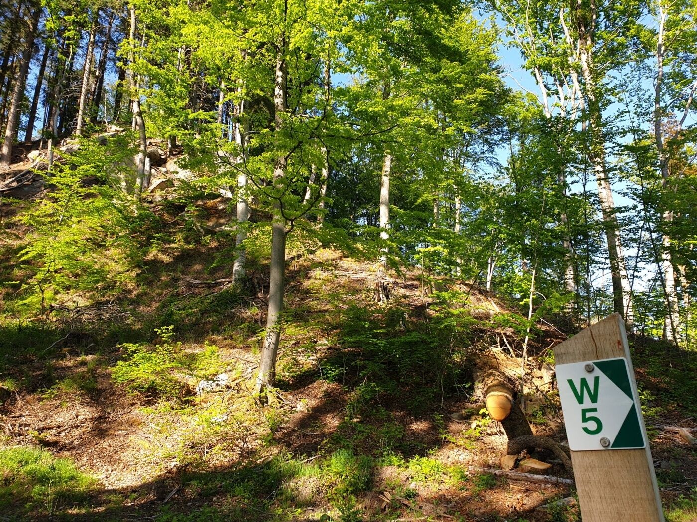
Turnén Local hiking trail - W5 används av outdooractive.com förutsatt.
GPS Downloads


Fler turer i regionerna
-
Müllerthal
549
-
Diekirch
183