
- Kort beskrivning
-
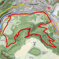
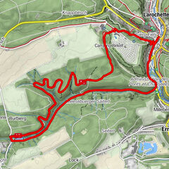
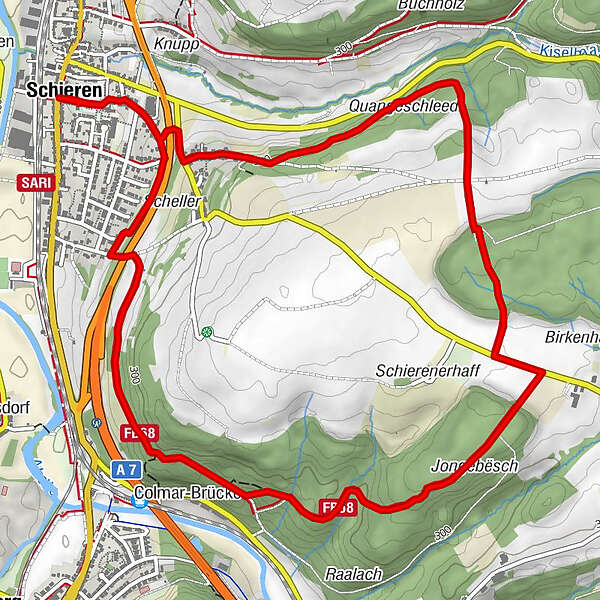
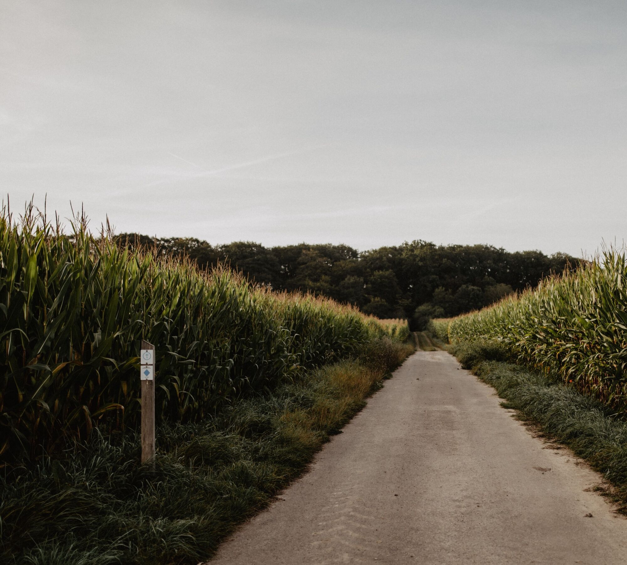
These traditional hiking trails, created by the Ministry of Economy, can be found all over Luxembourg. There are 43 of them in the Éislek region. You can easily reach their starting points by car. The Auto-Pédestre trails complement the other circular trails in the Éislek region perfectly.
- Svårighet
-
medium
- Utvärdering
-
- Väg
-
Gran SassoSchieren0,0 kmSaint-Blaise0,0 kmColmar-Brücke5,0 kmSchieren7,3 kmSaint-Blaise7,3 kmGran Sasso7,4 km
- Bästa säsongen
-
janfebmaraprmajjunjulaugsepoktnovdec
- Högsta punkt
- 356 m
- Destination
-
79 Route de Luxembourg
- Höjdprofil
-
 © outdooractive.com
- Författare
-
Turnén Auto-Pédestre trail Schieren används av outdooractive.com förutsatt.
GPS Downloads


Allmän information
Lovande
Fler turer i regionerna
-
Guttland
412
-
Ettelbruck
161