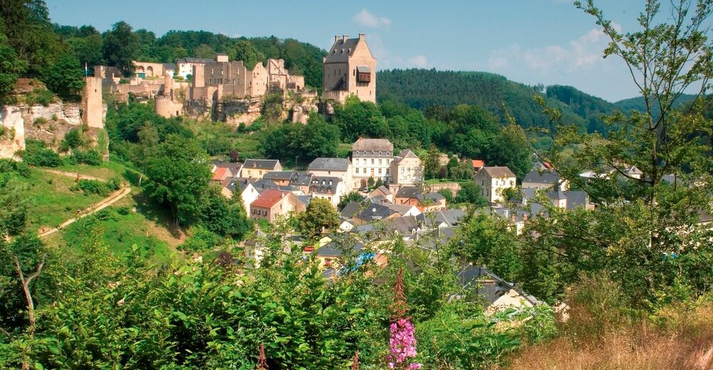
© Tourismusverband Region Mullerthal - Kleine Luxemburger Schweiz - Sandra Bertholet
Datum för turné
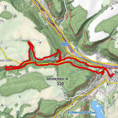
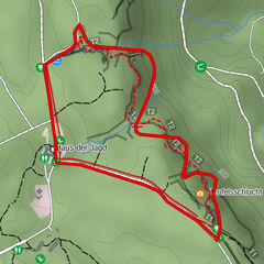
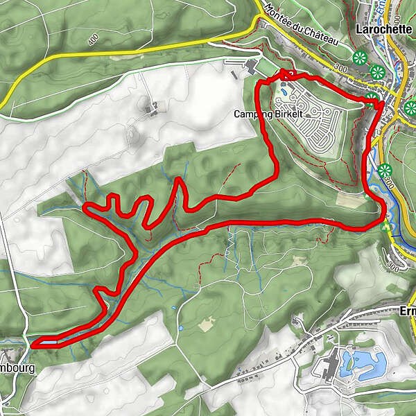
8,15km
279
- 365m
90hm
90hm
02:19h

- Väg
-
Fels0,9 kmVerluerekascht1,0 km
- Högsta punkt
- 365 m
- Destination
-
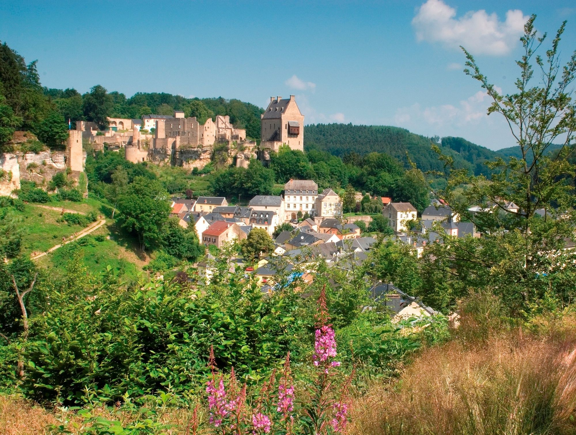
Larochette Rathaus
- Höjdprofil
-
 © outdooractive.com
- Författare
-
Turnén Tourentipp Larochette används av outdooractive.com förutsatt.
GPS Downloads


Fler turer i regionerna
-
Müllerthal
549
-
Diekirch
183