© Mostviertel - weinfranz.at
© Martin Fülöp

- Kort beskrivning
-
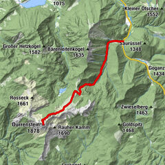
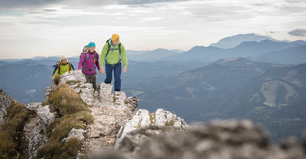
This high alpine route is a challenging ascent of the Ötscher mountain. It is part of a round tour starting in Lackenhof, and is a marked route without safety equipment (the climbing sections have been given a rating of Difficulty Level I according to the Alpine Scale). Only for experienced, sure-footed mountaineers, who are not afraid of heights and are skilled climbers. Safe and dry weather conditions are required. Old snow in the early summer is particularly dangerous!
- Svårighet
-
tung
- Utvärdering
-
- Väg
-
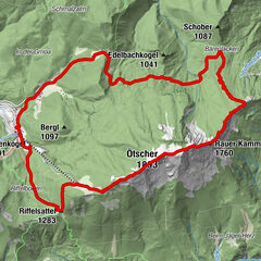
Weitental0,2 kmGasthof Digruber0,8 kmRaneck2,4 kmBärenlacken6,2 kmVersturzgangl7,1 kmFliegengangl8,4 kmBiwakhalbhöhle8,5 kmGamsgangl8,5 kmOstbandhöhle8,5 kmFlachgangl8,5 kmSisyphusloch8,8 kmRauher-Kamm-Mäander8,8 kmBlechdosenkluft8,8 kmGemsenhorst9,0 kmWetterloch IV9,1 kmEinstiegsloch9,2 kmHerrenstand (1.890 m)9,6 kmWetterloch III9,8 kmÖtscher (1.893 m)9,9 kmWetterloch II10,0 kmHüttenkogel (1.527 m)11,7 kmÖtscherschutzhaus12,2 kmRiffelsattel (1.283 m)12,9 kmFuchswaldhütte15,1 kmWeitental15,1 km
- Bästa säsongen
-
janfebmaraprmajjunjulaugsepoktnovdec
- Högsta punkt
- 1.881 m
- Destination
-
Ötscherschutzhaus – from here, you can travel back to the lower station in comfort on the chairlift.
- Höjdprofil
-


- Författare
-
Turnén Ötschergipfel används av outdooractive.com förutsatt.
GPS Downloads


Allmän information
Förfriskningsstopp
Flora
Fauna
Lovande
Fler turer i regionerna
-
Mostviertel
2470
-
Mariazellerland
1506
-
Naturpark Ötscher-Tormäuer bei Gaming
452