© © Wiener Alpen in NÖ Tourismus GmbH, Foto: Franz Zwickl - Wiener Alpen in Niederösterreich Tourismus GmbH
© © Wiener Alpen in NÖ Tourismus GmbH, Foto: Franz Zwickl - Wiener Alpen in Niederösterreich Tourismus GmbH

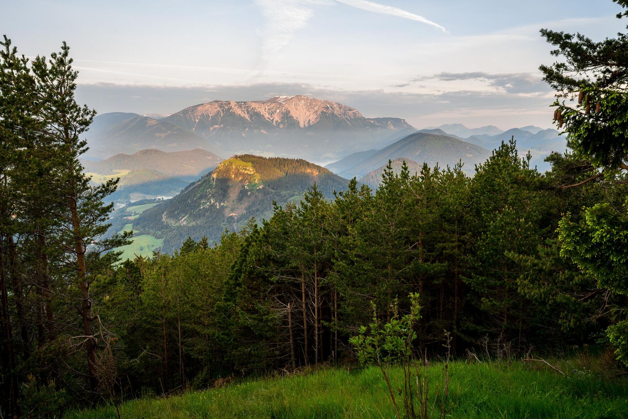
© © Franz Zwickl - Wiener Alpen in Niederösterreich Tourismus GmbH

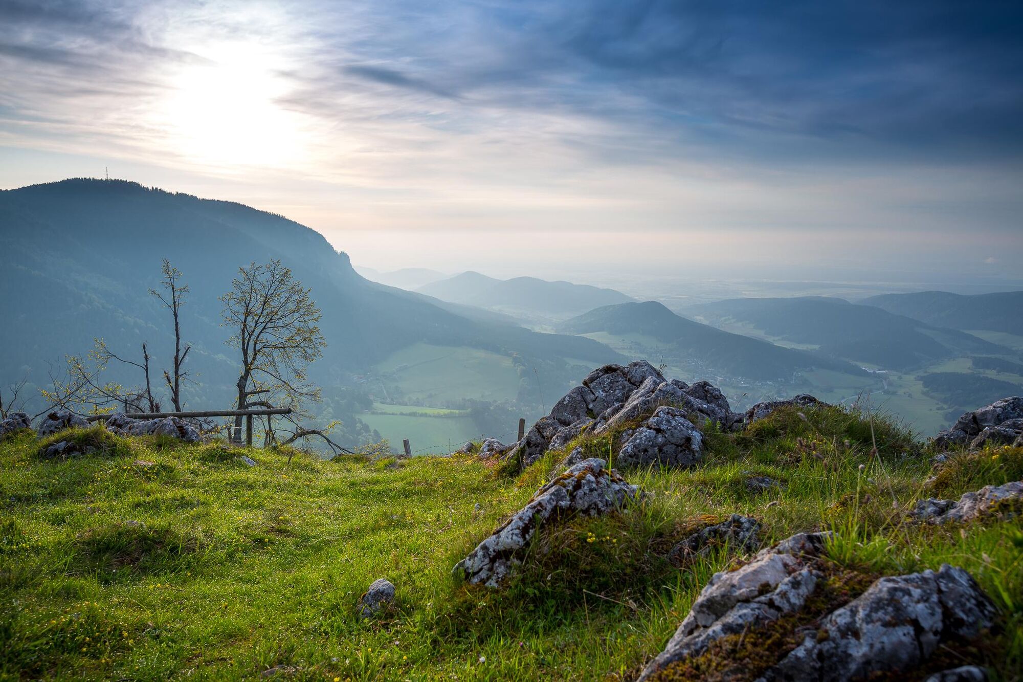
© Wiener Alpen in Niederösterreich - Sophie Weinberger

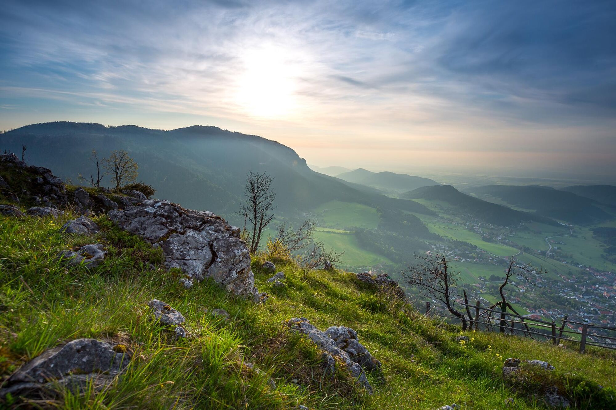
© Wiener Alpen in Niederösterreich - Sophie Weinberger

© Wiener Alpen in Niederösterreich - Sophie Weinberger

© Wiener Alpen in Niederösterreich - Sophie Weinberger

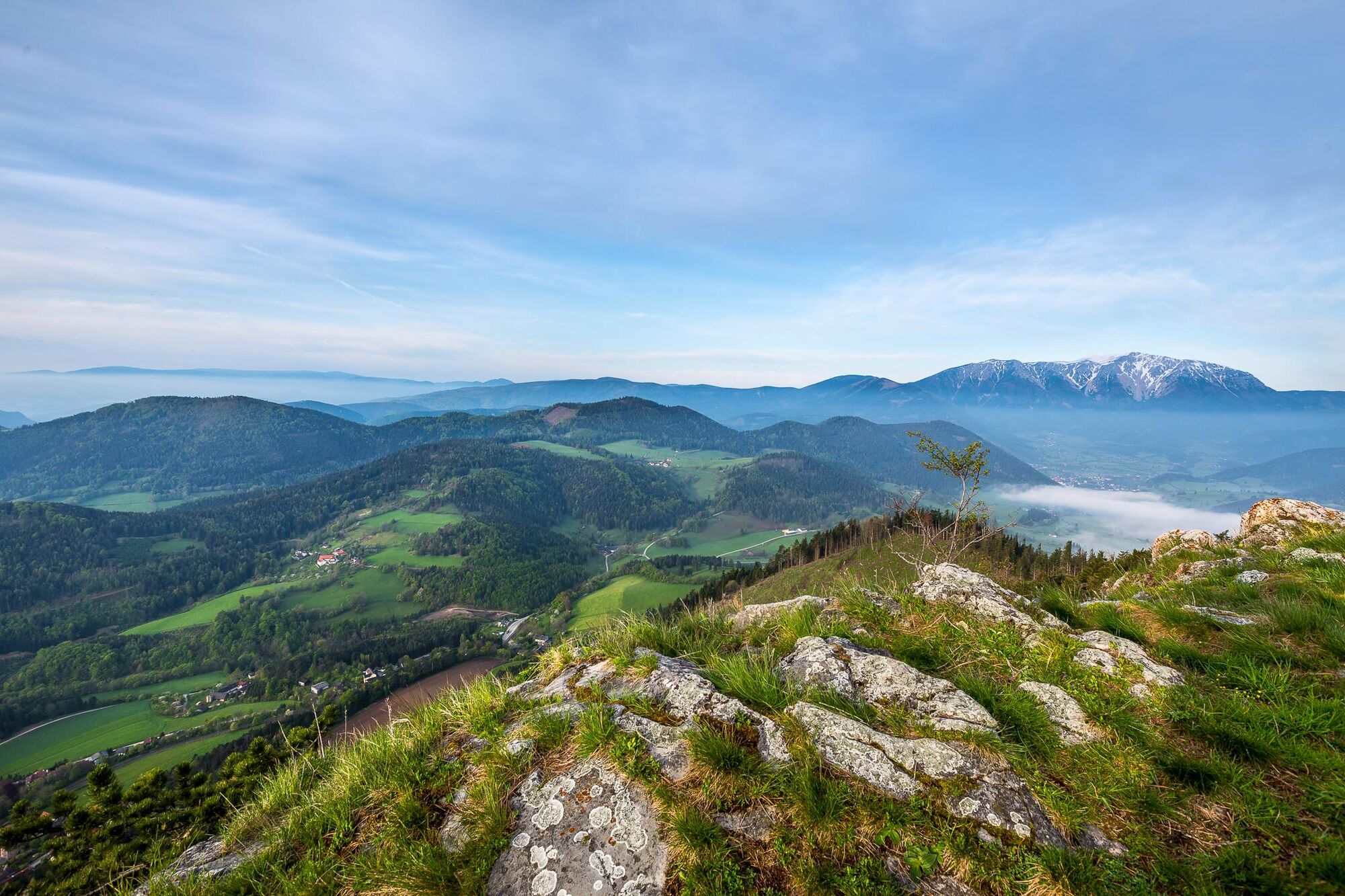
© Wiener Alpen in Niederösterreich - Katrin Zeleny

© Wiener Alpen in Niederösterreich - Katrin Zeleny

© Wiener Alpen in Niederösterreich - Katrin Zeleny
- Kort beskrivning
-
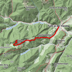
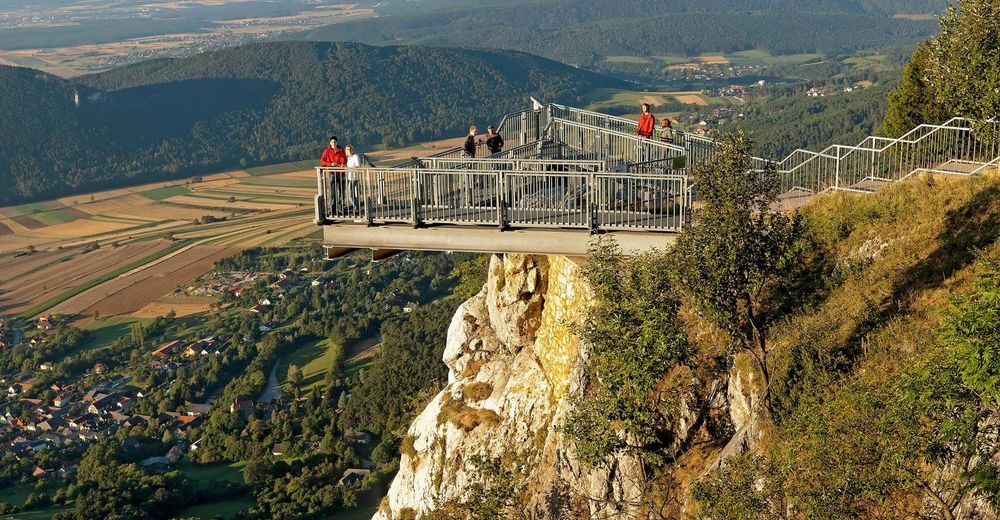
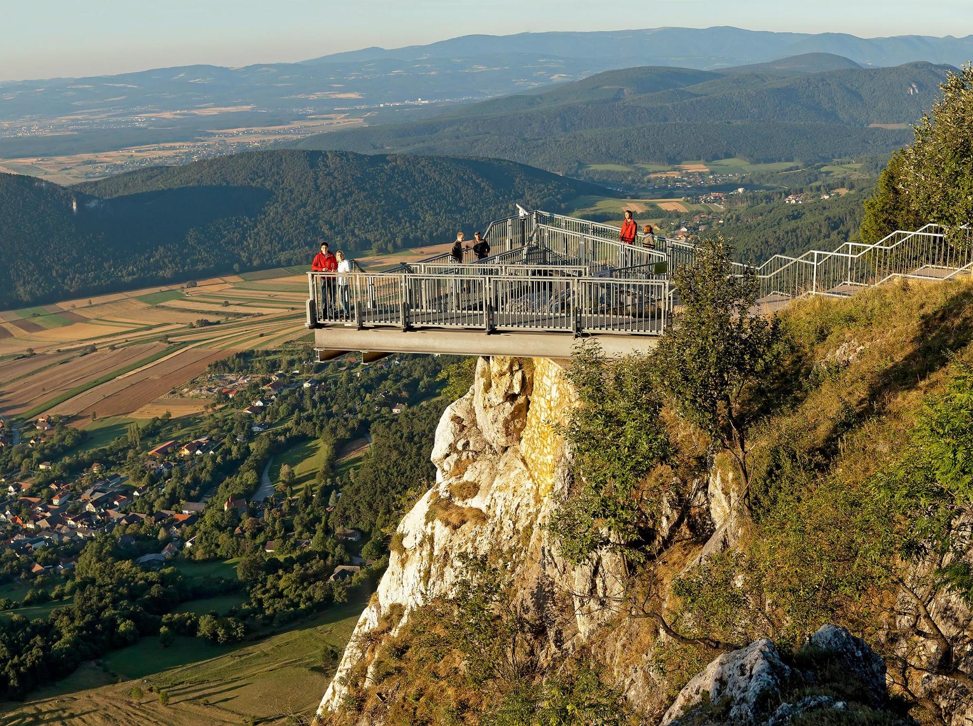
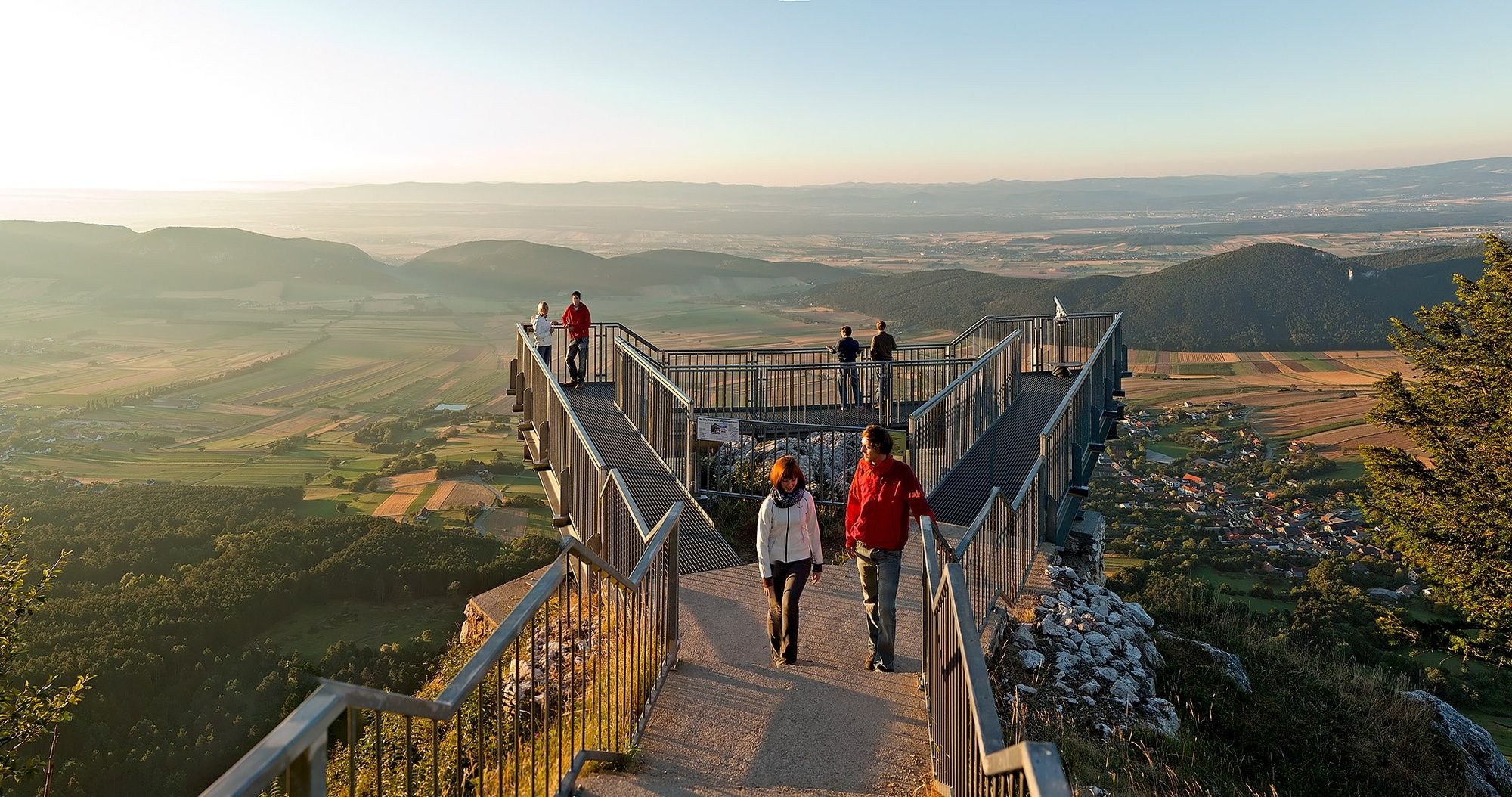
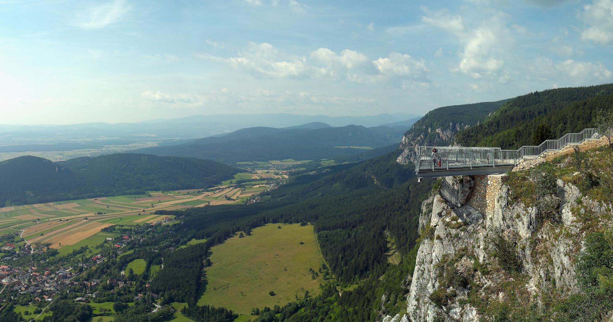
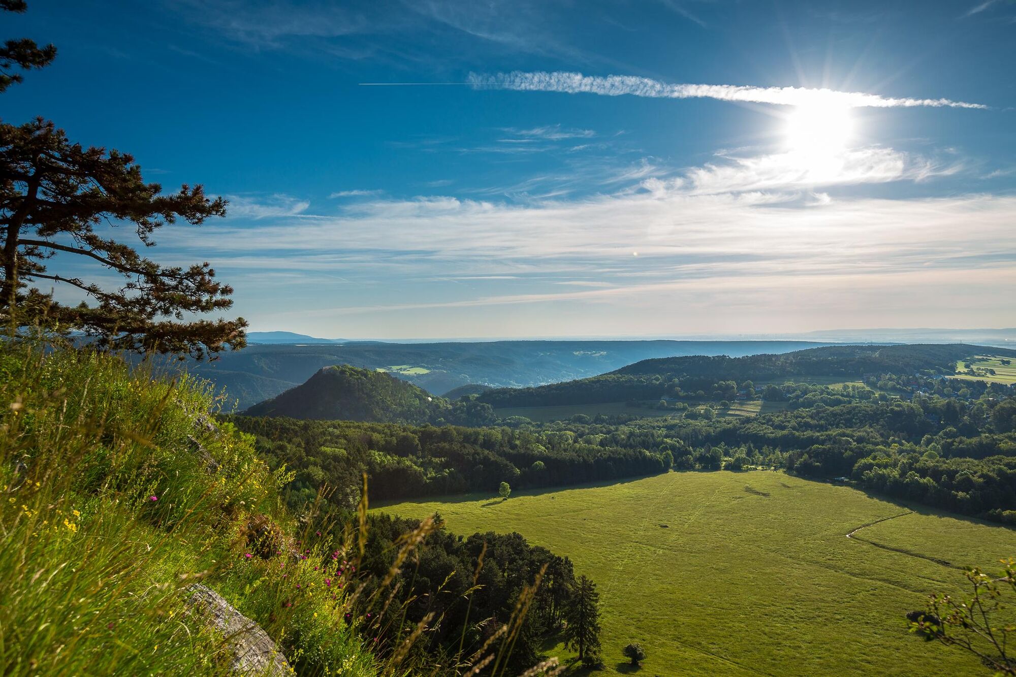
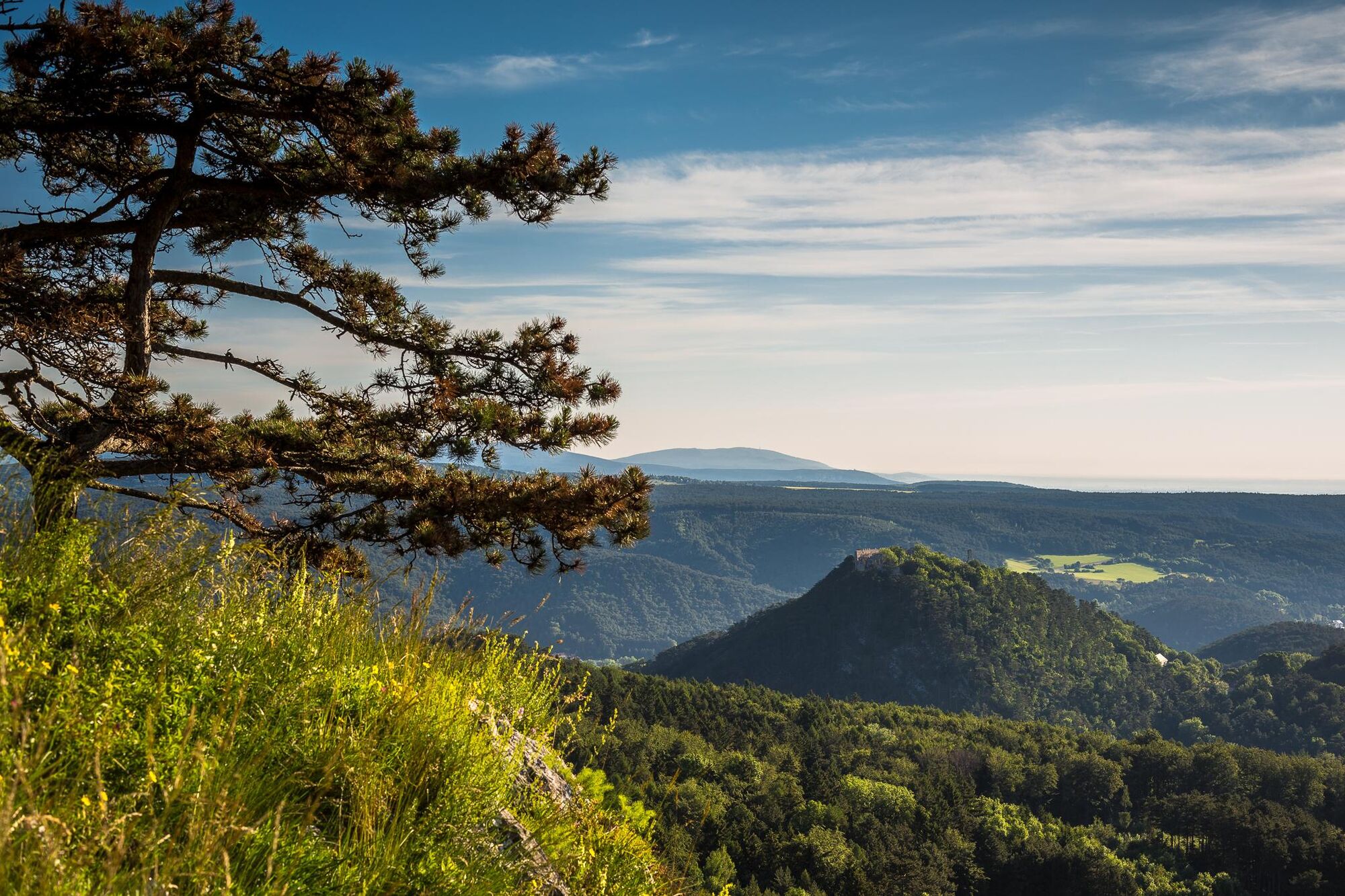
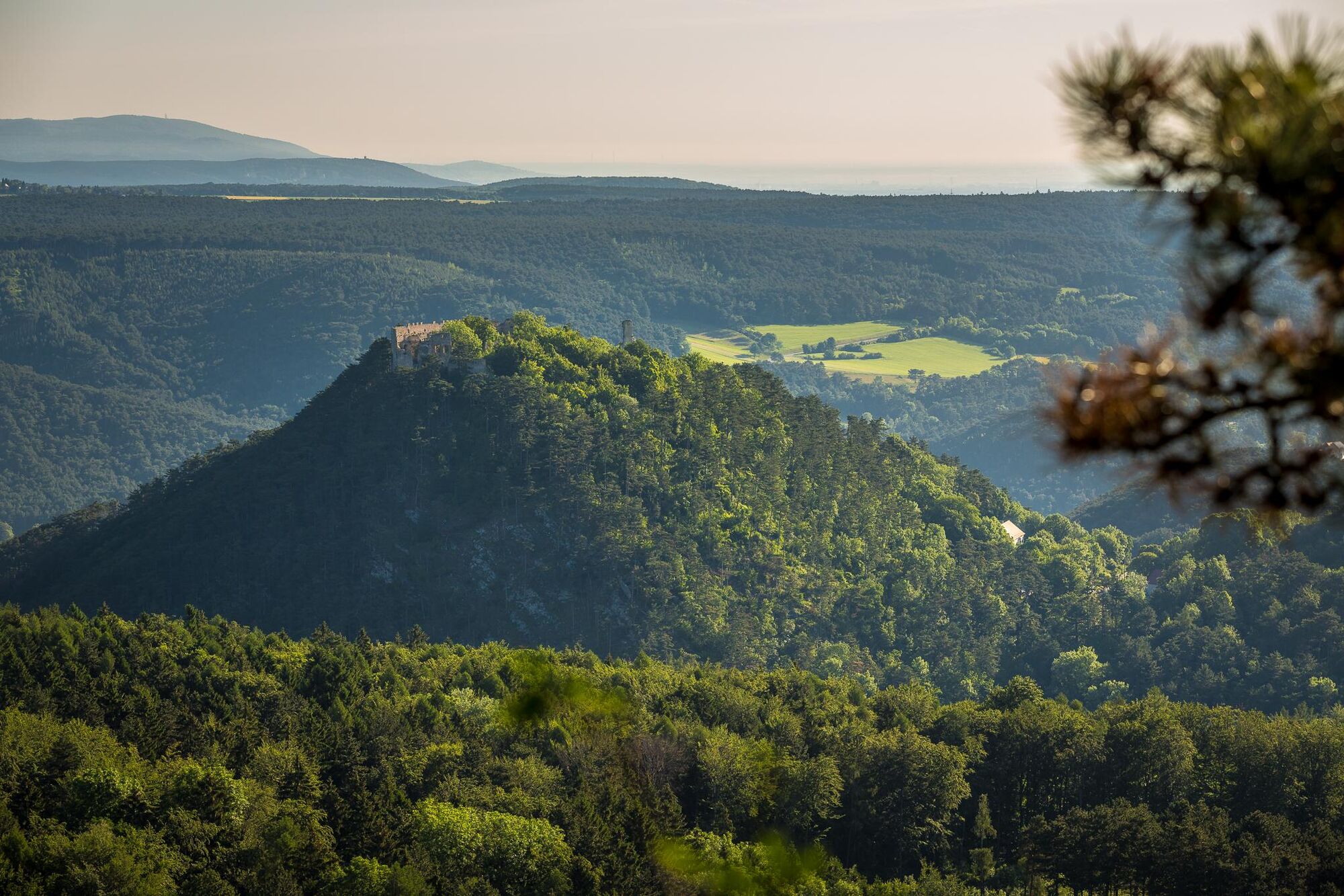
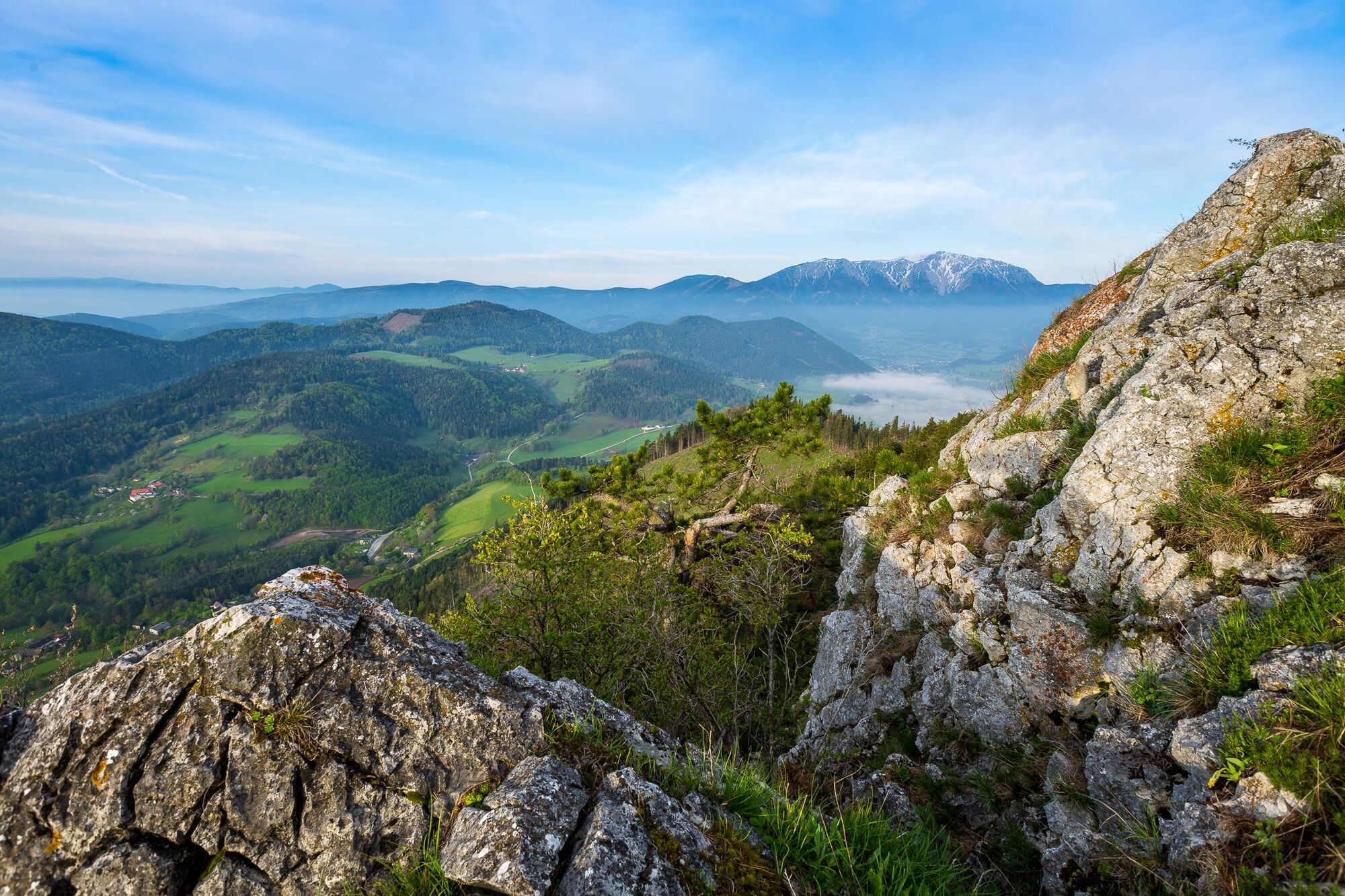
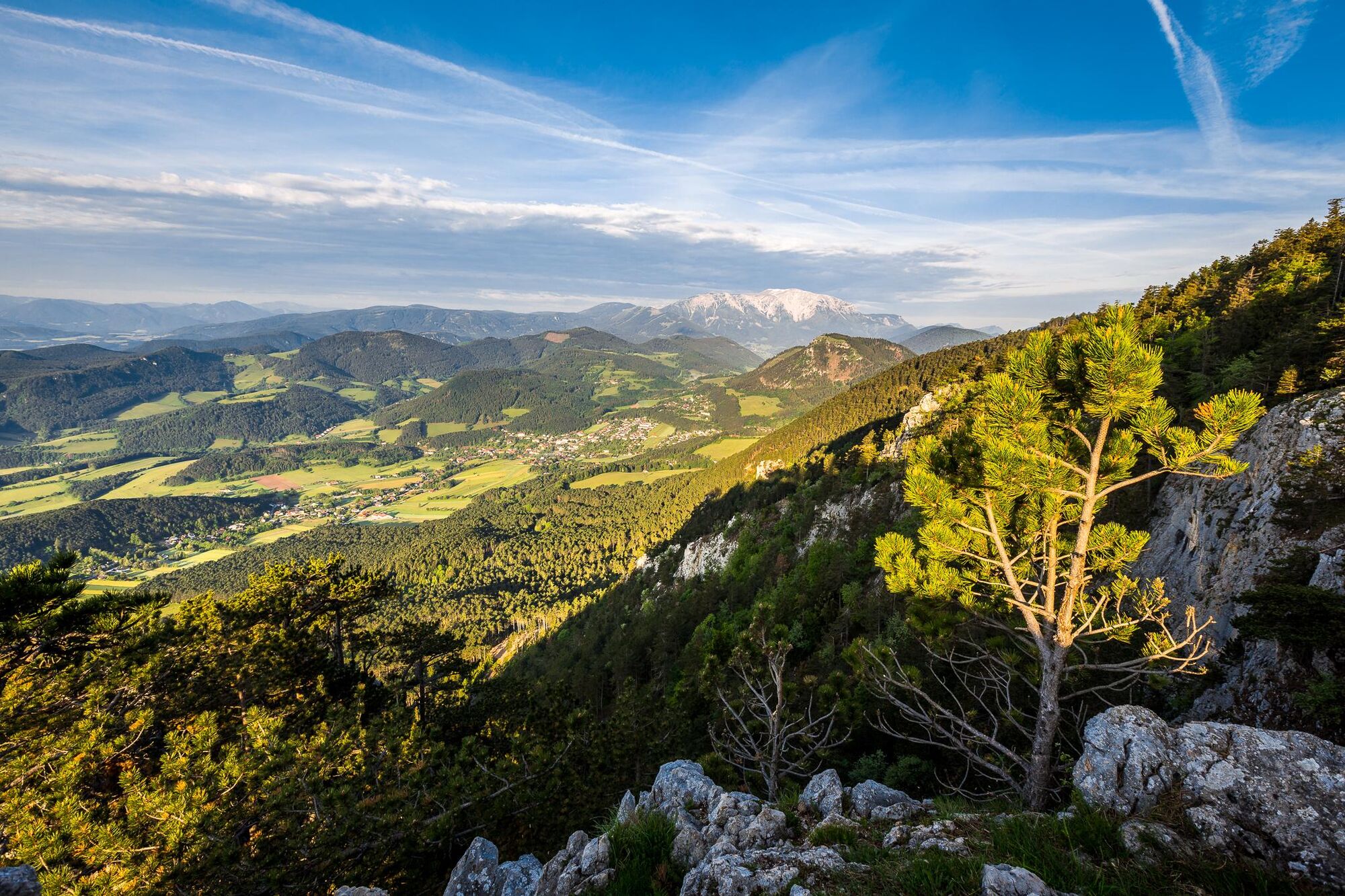
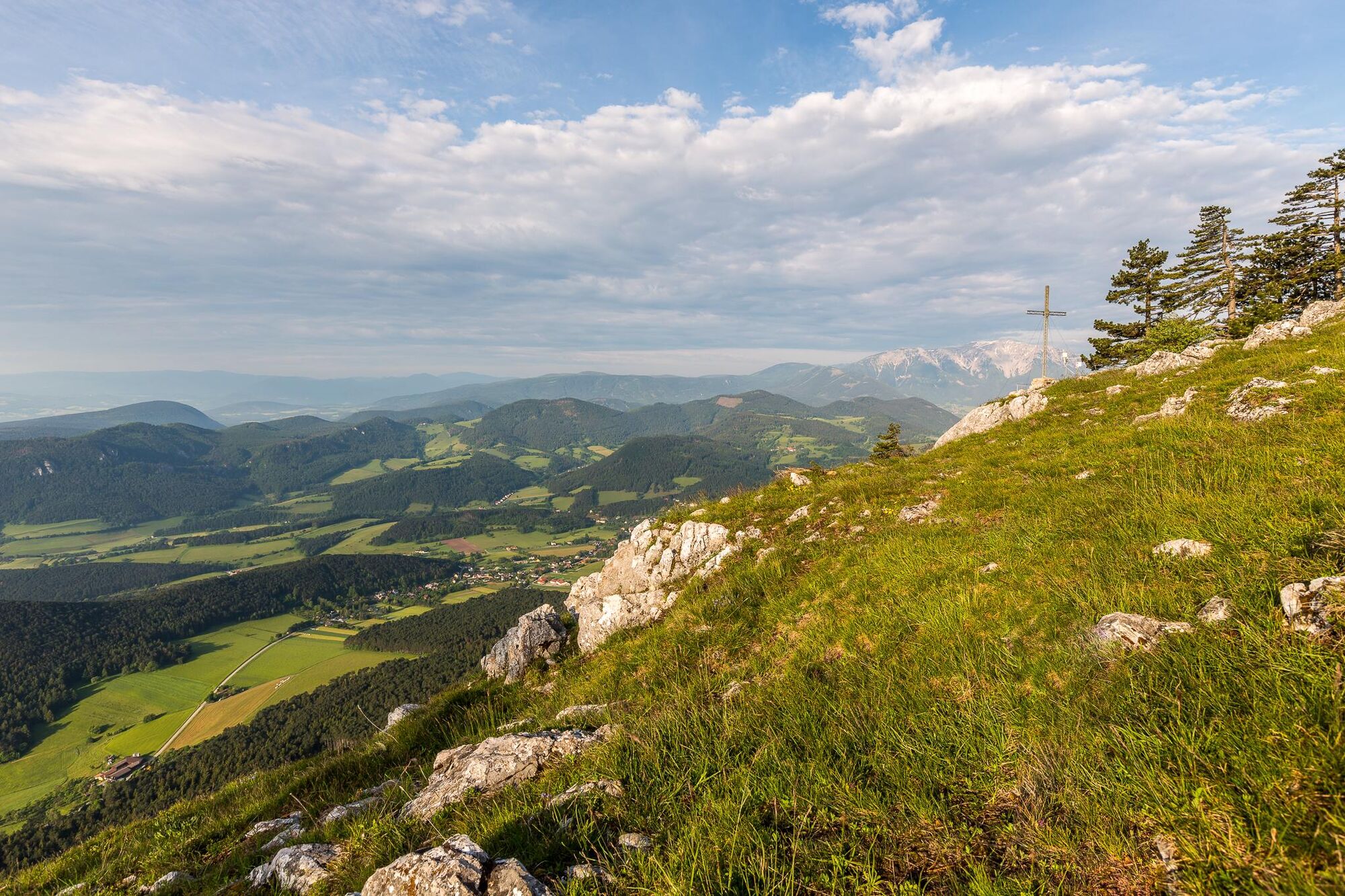
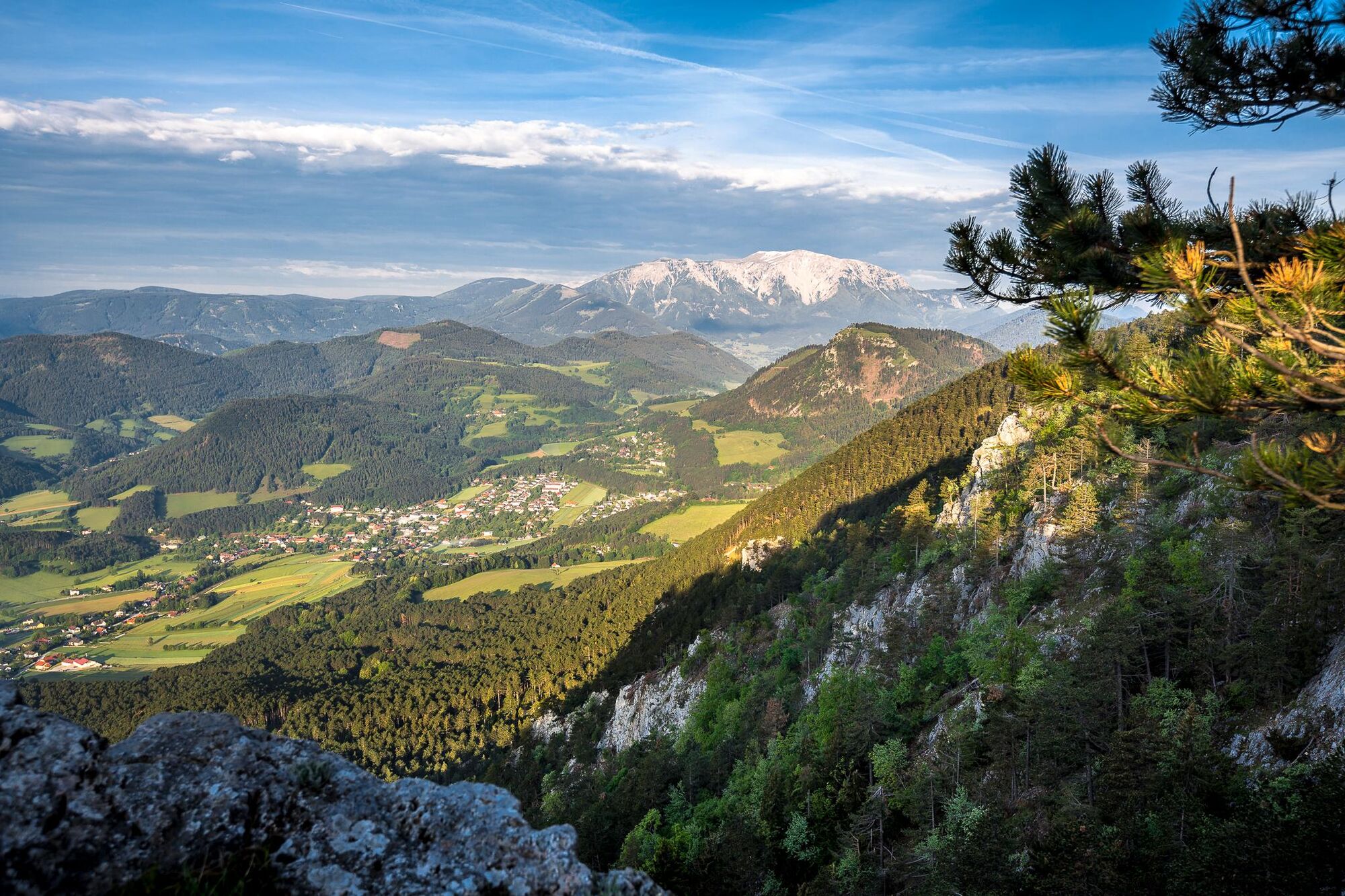
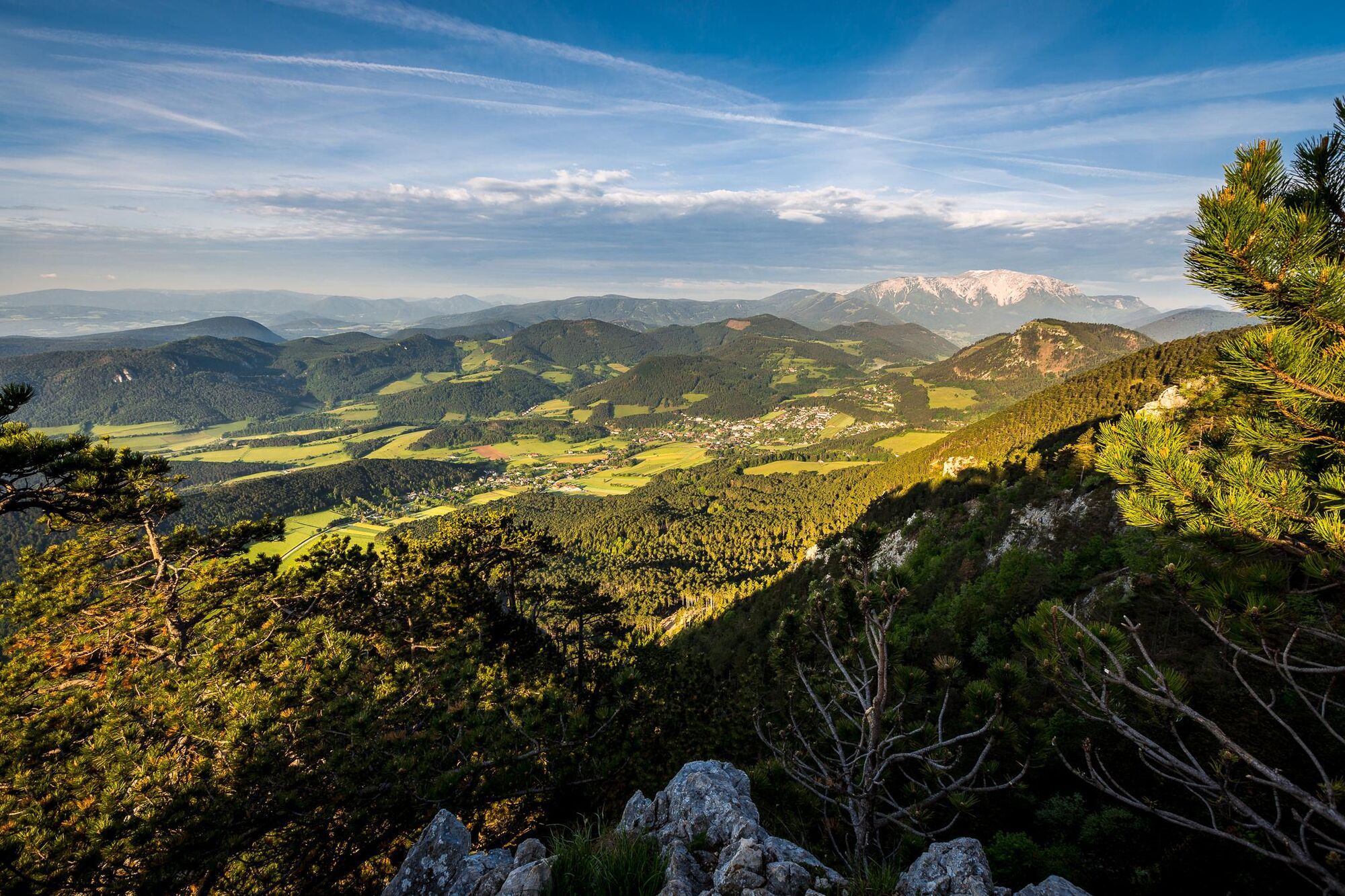
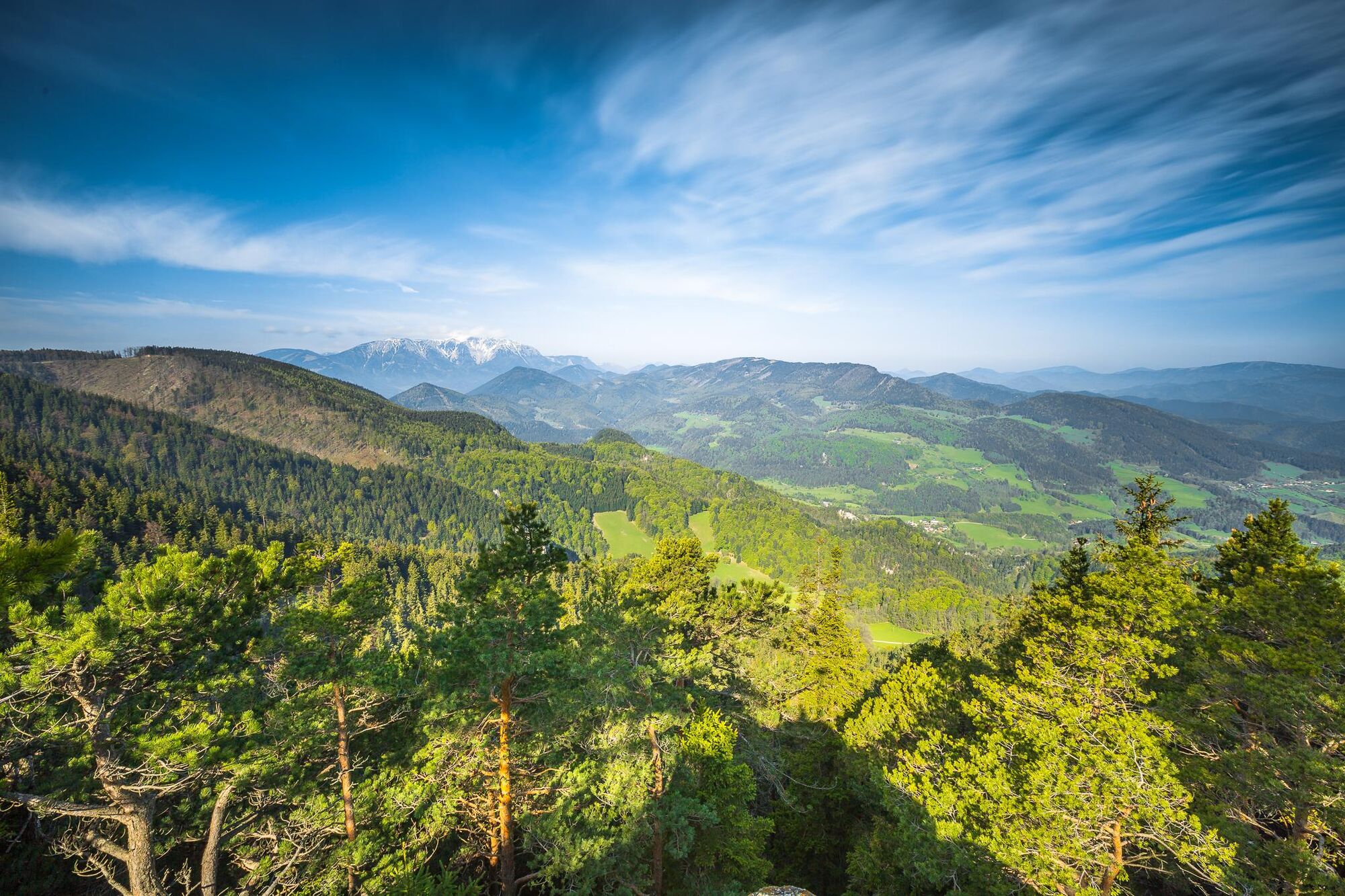
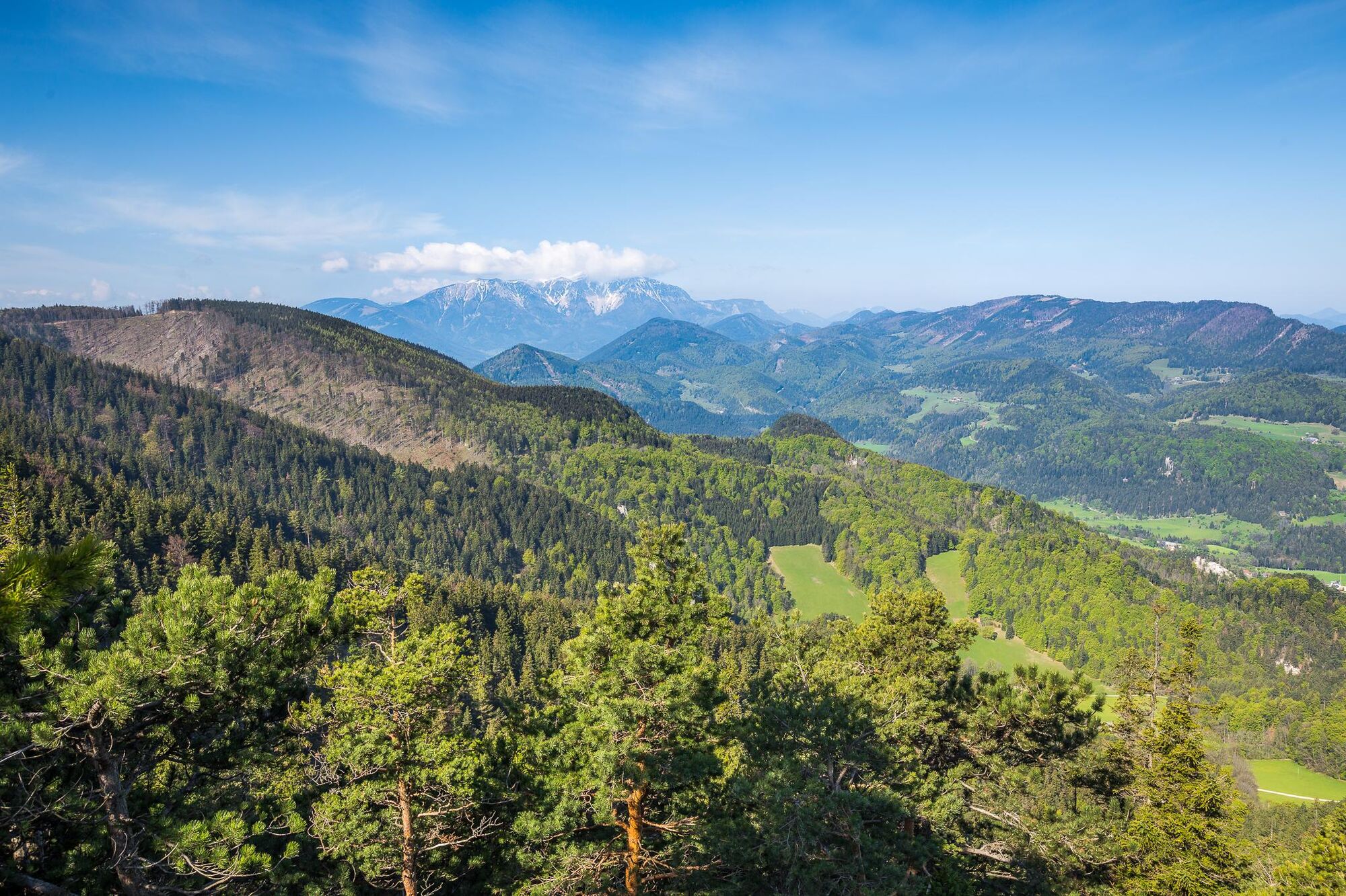
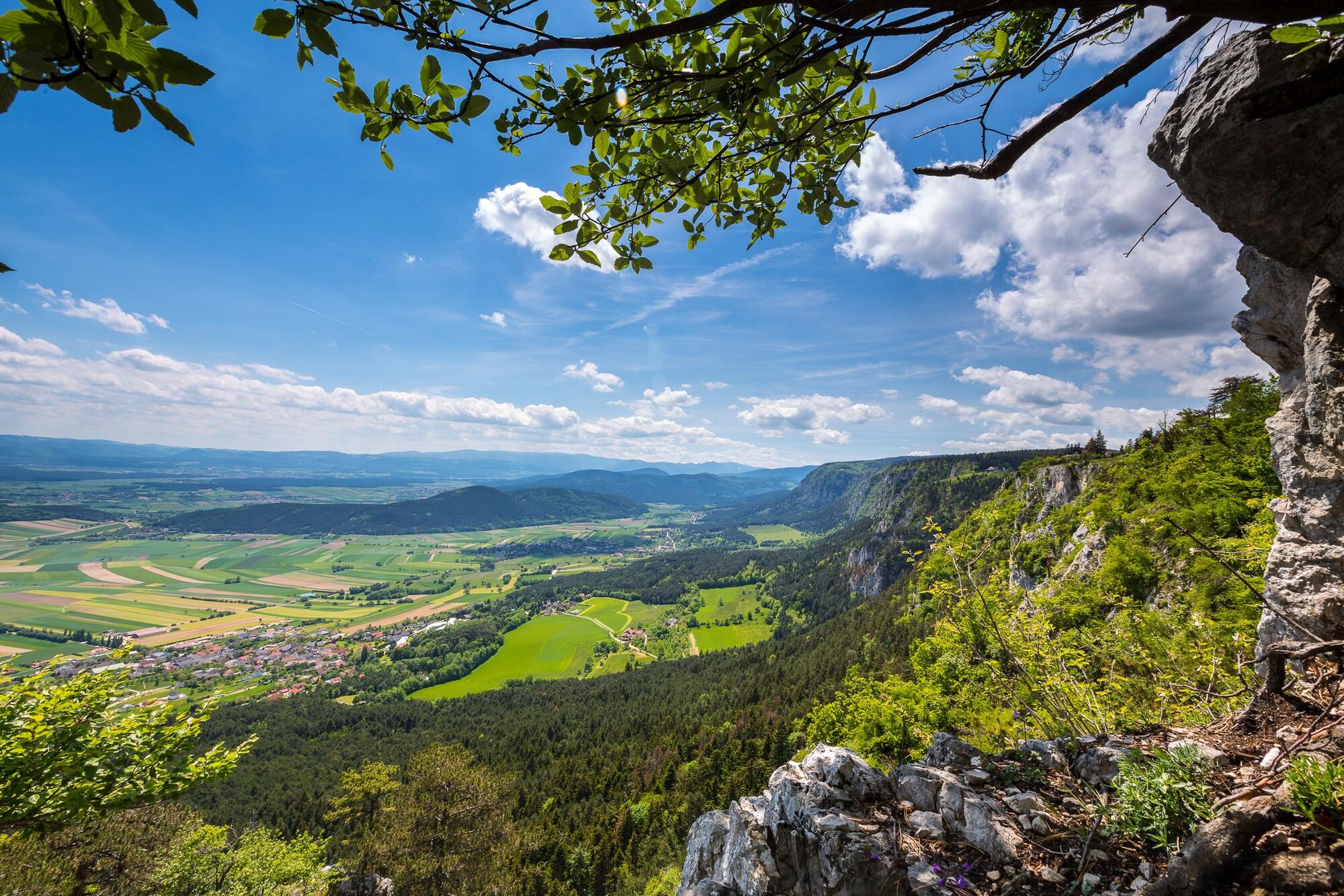
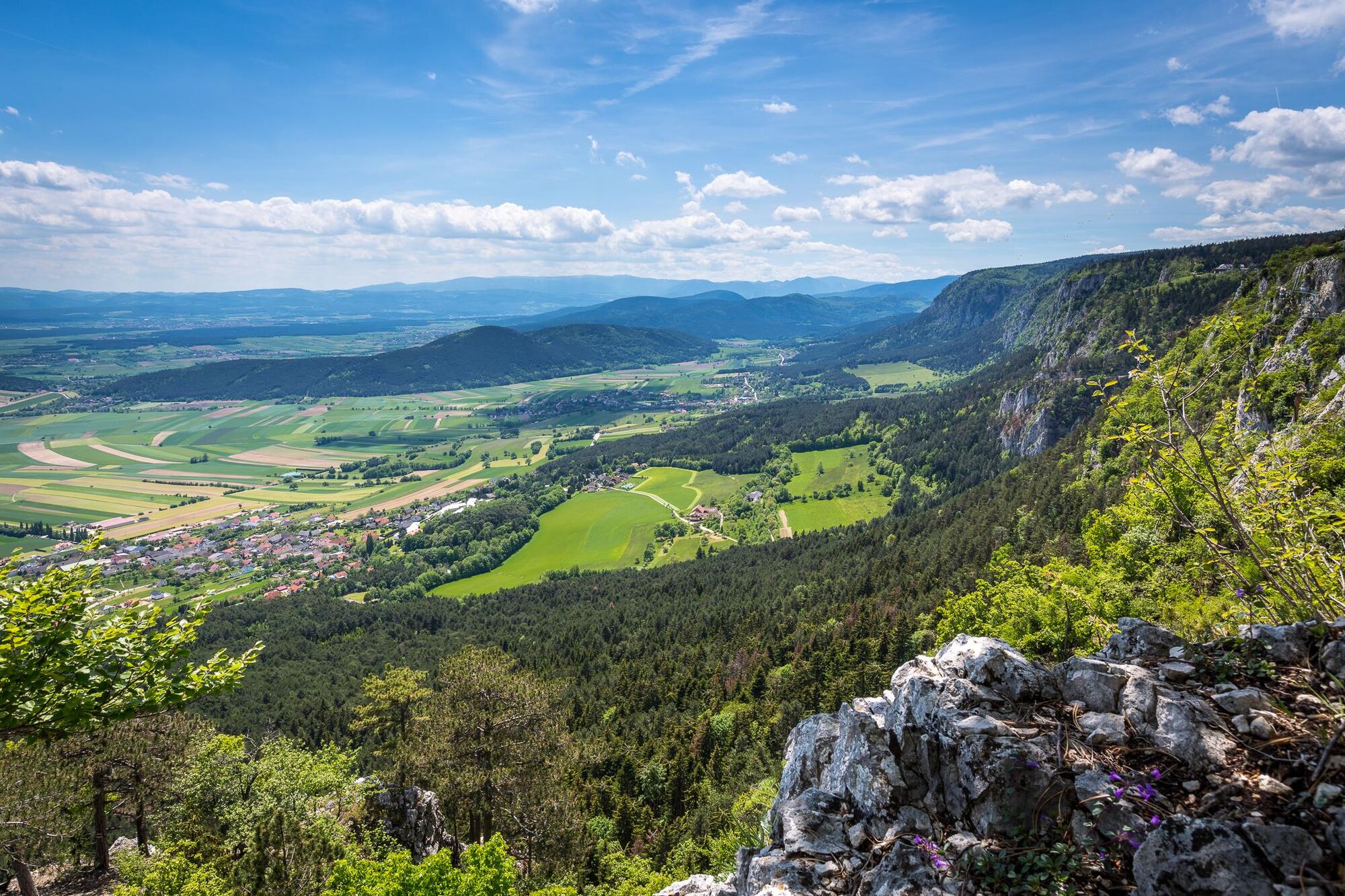
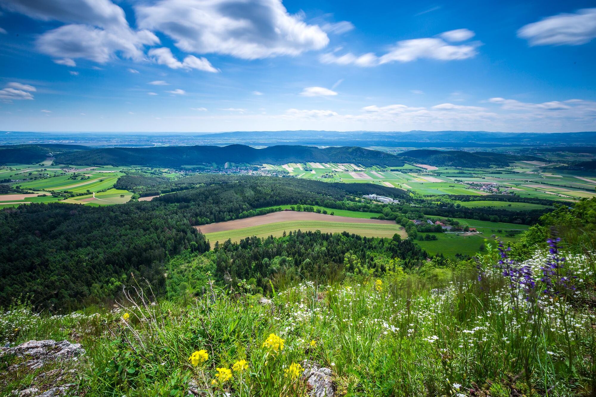
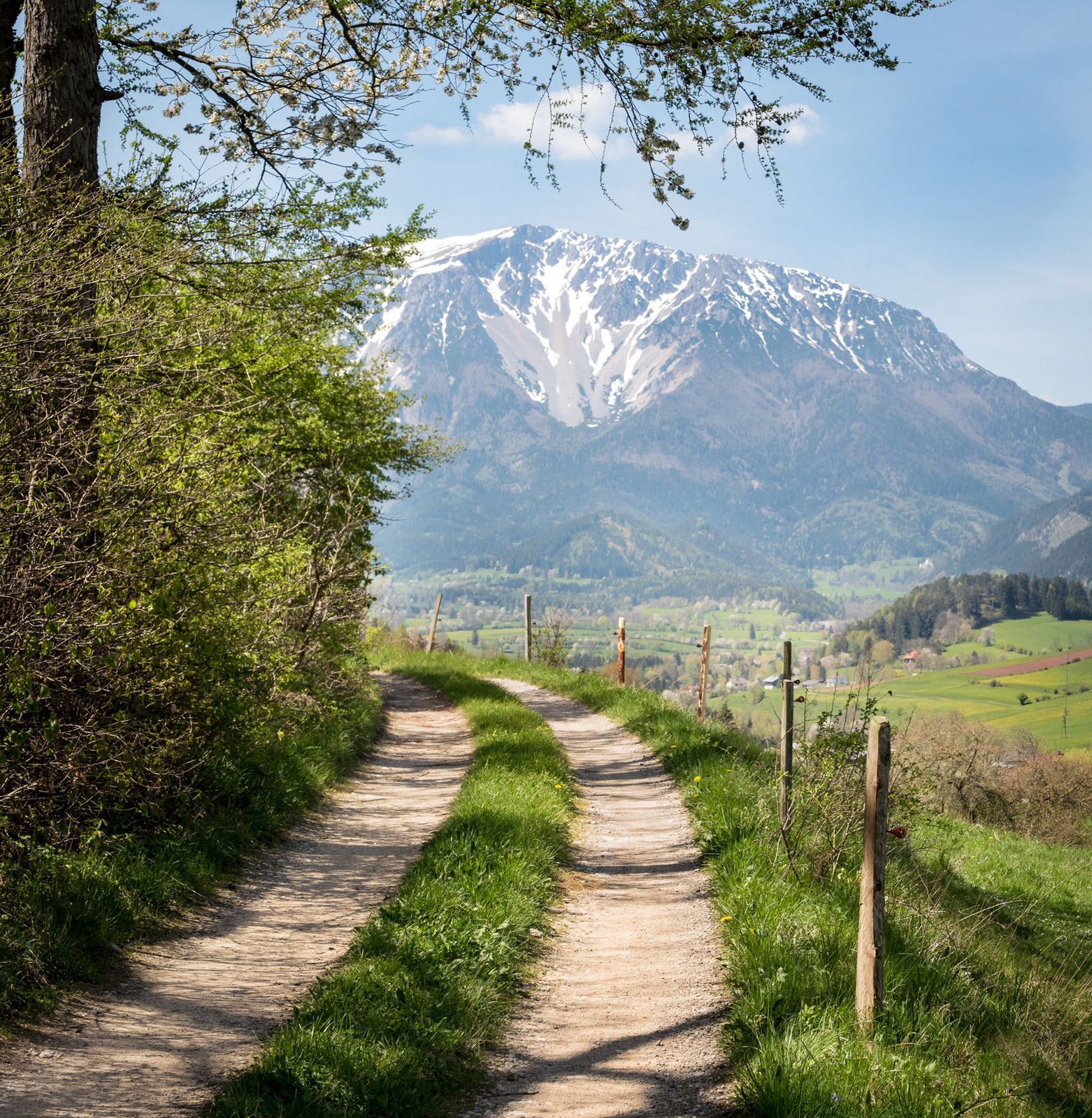
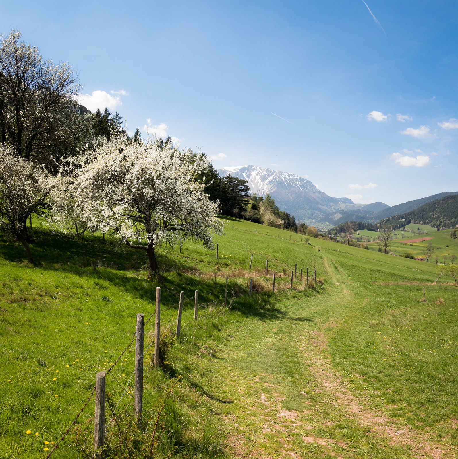
Regional Route R takes you over the Hohe Wand. The Skywalk is a particular highlight. The Regional Routes are part of the network of paths making up the Viennese Alps (WAB) route. Hikes along these routes lead you to unique views and also insights. The Regional Routes are linked to the network of paths making up the Viennese Alps route. This results in circular hikes in conjunction with the long-distance path.
- Svårighet
-
tung
- Utvärdering
-
- Väg
-
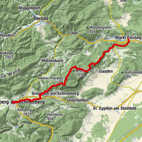
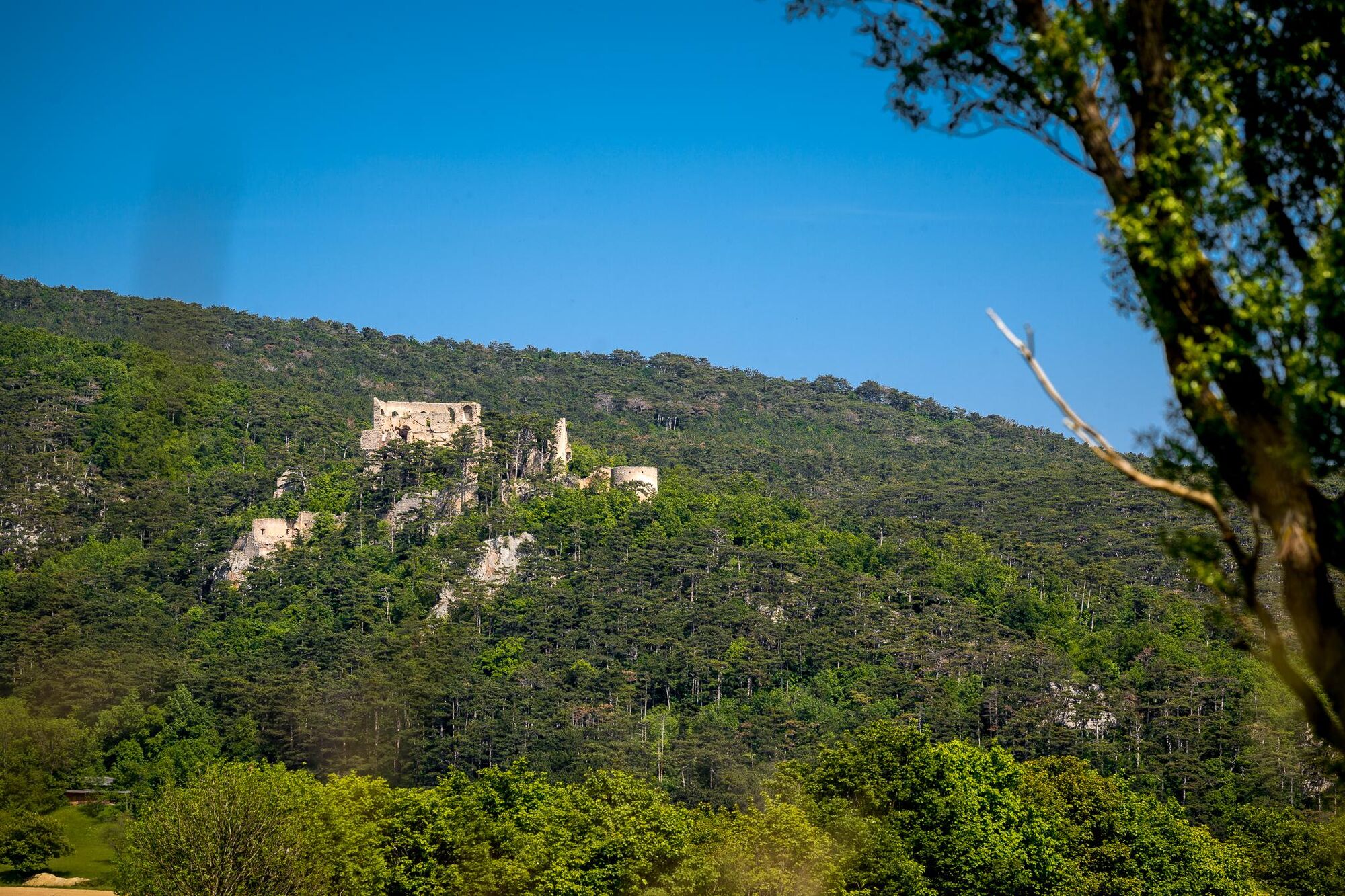
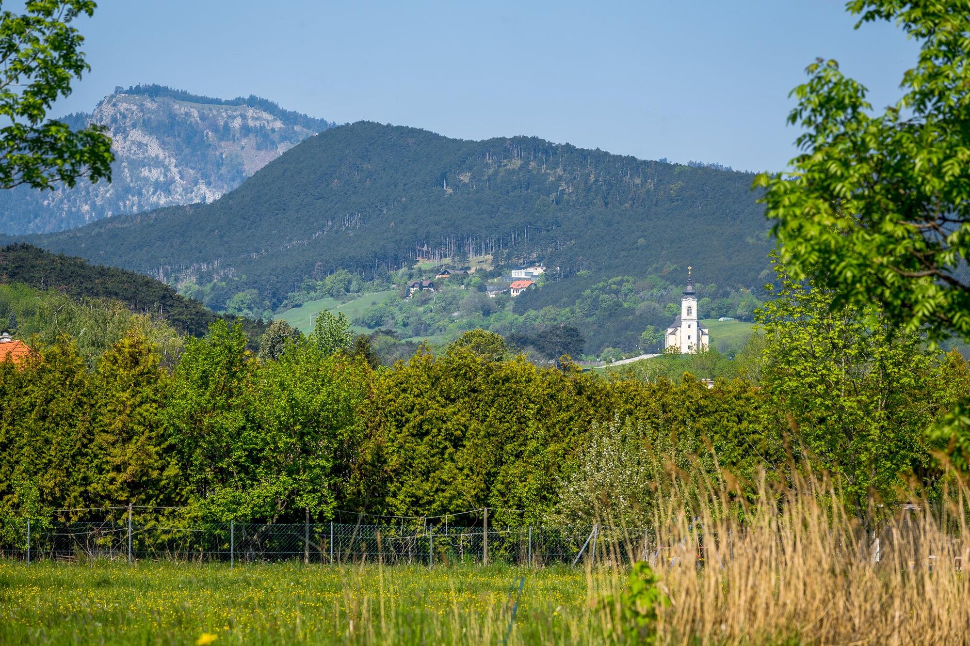
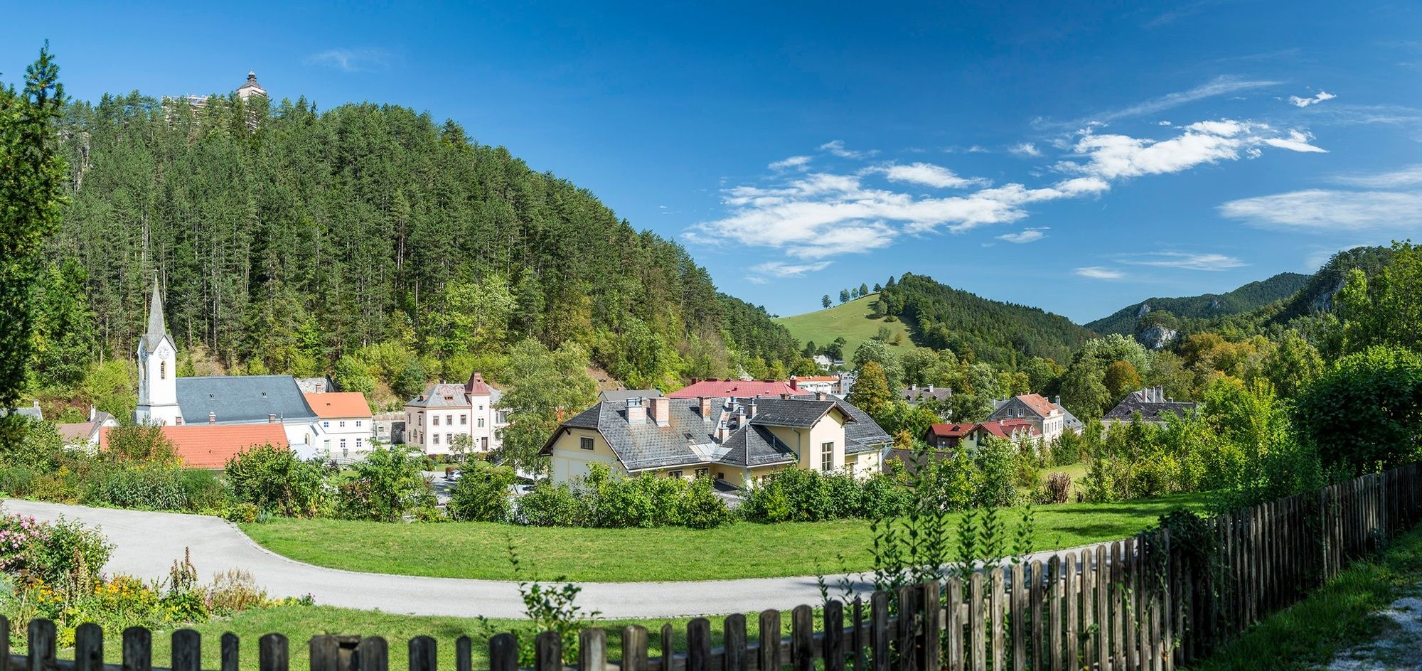
Markt PiestingSchmankerl0,4 kmBaumgarten2,6 kmZitherwirt / Gasthof Ruine Starhemberg2,9 kmEinhornhöhle4,5 kmLuckertes Lückerl5,7 kmHerrgottschnitzerhaus5,7 kmRoter Schluf5,9 kmRotes Dach5,9 kmHubertuskluft6,0 kmFelsennest7,2 kmStollhofer Spalte7,2 kmPürrerhöhle7,3 kmKohlröserlturm7,4 kmKohlröserlhaus7,4 kmCzernyhöhle7,4 kmEngelbertkirche8,4 kmSchusterlucke9,2 kmPostlhöhle9,8 kmBrombergdoline12,5 kmGasthaus zur Kleinen Kanzel13,3 kmKleiner Plackles (1.102 m)14,4 kmWanddörfl15,0 kmPlackles (1.132 m)15,7 kmKaltwassersattel17,4 kmHubertuskapelle17,6 kmScheimhitt'n17,7 kmBärenhöhle18,8 kmGeländhöhle18,9 kmGeländehütte19,0 kmGelände (1.023 m)19,0 kmHausstein20,0 kmPfennigbach23,3 kmWilhelm-Frey-Ruhe24,0 kmSierning25,2 kmPuchberg am Schneeberg25,3 km
- Bästa säsongen
-
janfebmaraprmajjunjulaugsepoktnovdec
- Högsta punkt
- 1.123 m
- Destination
-
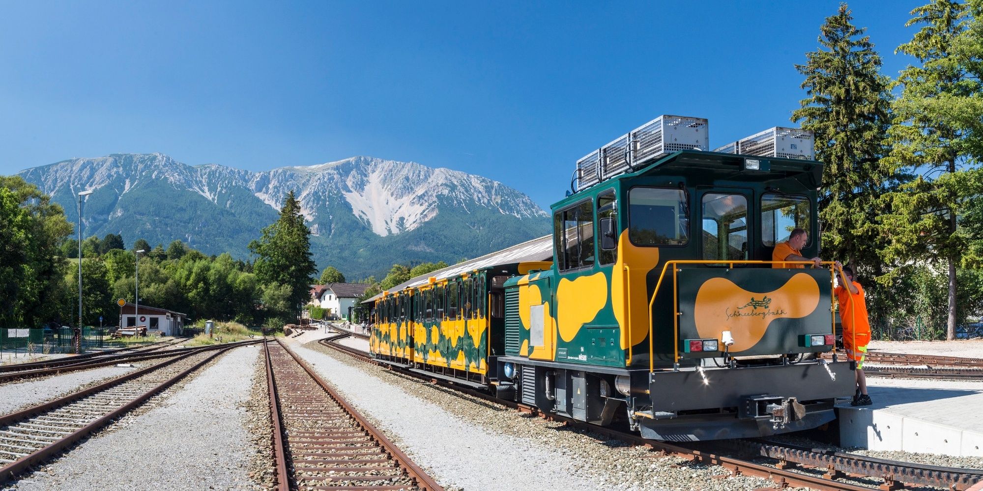
Puchberg/Schneeberg railway station
- Höjdprofil
-


- Författare
-
Turnén WAB - Regional Route R: Markt Piesting - Puchberg/Schneeberg används av outdooractive.com förutsatt.
GPS Downloads


Allmän information
Förfriskningsstopp
Lovande
Fler turer i regionerna