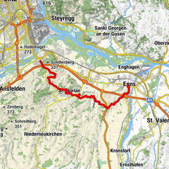
Donausteig Stage 3_N08 Steyregg - Mauthausen: „Danube rivers und hill country“

© WGD Donau Oberösterreich Tourismus GmbH/Andreas Kranzmayr - Andreas Kranzmayr

© WGD Donau Oberösterreich Tourismus GmbH
© WGD Donau Oberösterreich Tourismus GmbH/Weissenbrunner - Weissenbrunner

© WGD Donau Oberösterreich Tourismus GmbH
© WGD Donau Oberösterreich Tourismus GmbH/Weissenbrunner - Weissenbrunner
© WGD Donau Oberösterreich Tourismus GmbH
© WGD Donau Oberösterreich Tourismus GmbH


- Kort beskrivning
-
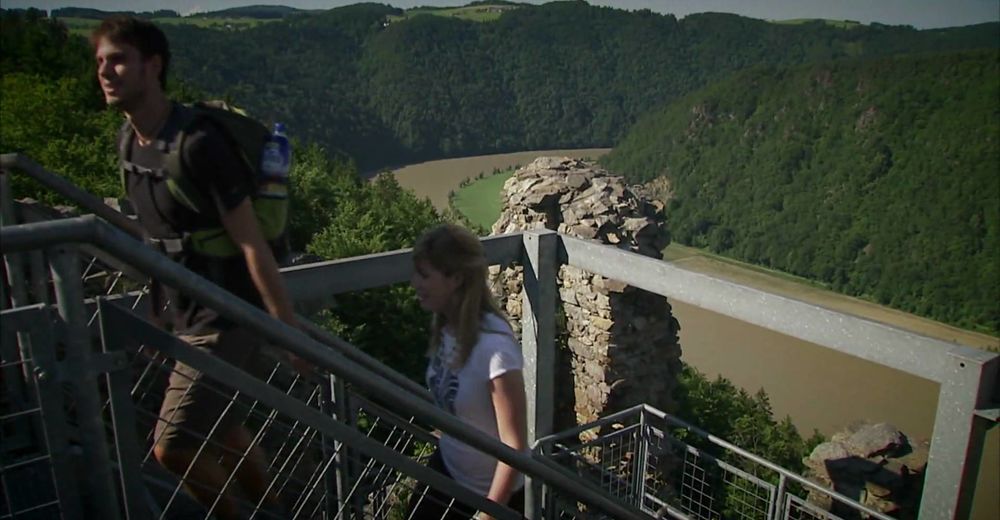
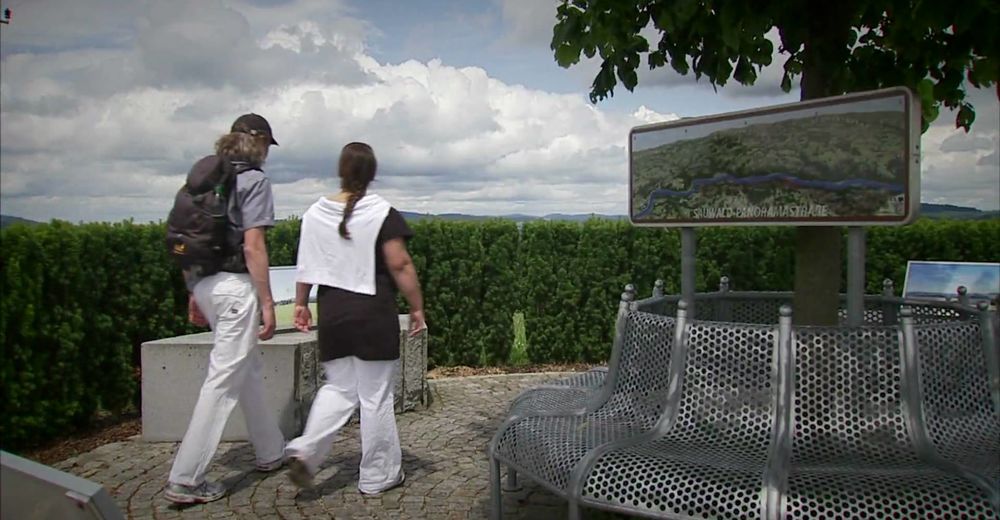
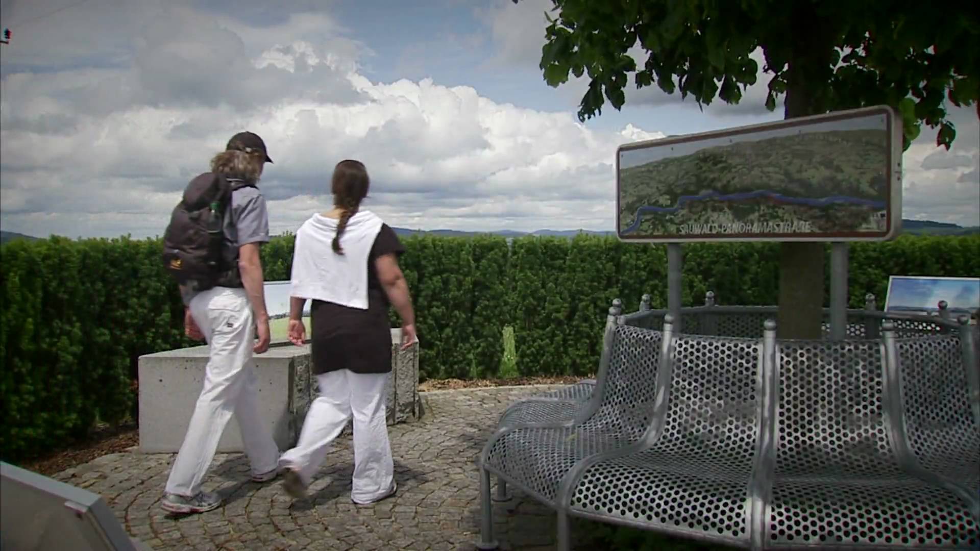
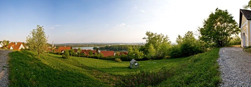
Donausteig-simply fabulous! This stage leads us from Steyregg at the edge of the Danube plain through the jungle-like Donauauen (plains), along the mighty Danube river current and the panoramic hills of the Mühlviertel (region) to Mauthausen on the Danube. We discover the medieval town Steyregg, the world of the "Danube" waterway, one of the most important places of worship of the Danube region, the atrocities of national socialism, Mauthausen as the center for granite Art...
- Svårighet
-
tung
- Utvärdering
-
- Väg
-
Gasthaus Weissenwolff0,0 kmSteyregg (259 m)0,0 kmSteyregg Ost0,2 kmCnario0,5 kmGusen11,3 kmKreuzmühle15,6 kmMarbach16,6 kmMauthausen20,3 km
- Bästa säsongen
-
janfebmaraprmajjunjulaugsepoktnovdec
- Högsta punkt
- 354 m
- Destination
-
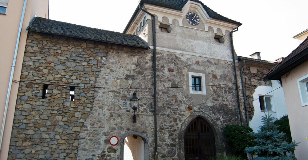
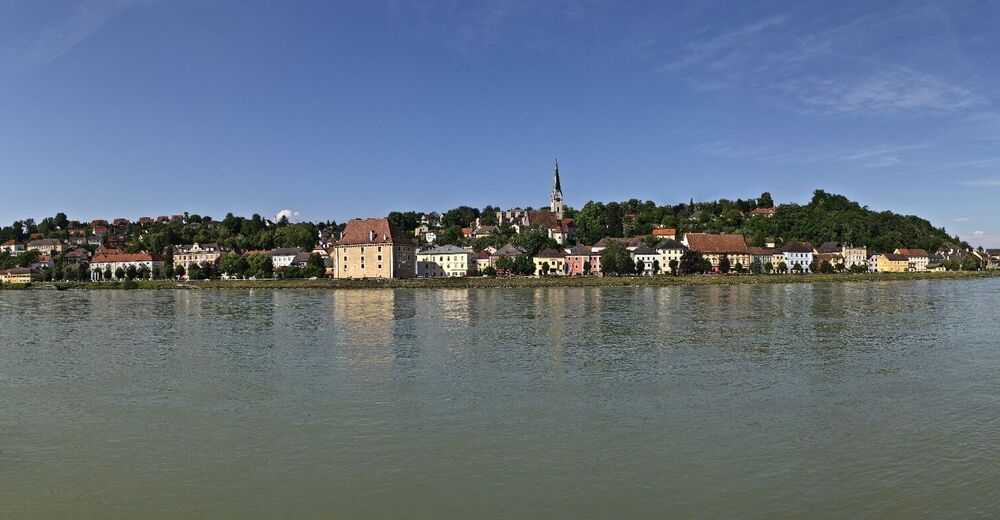
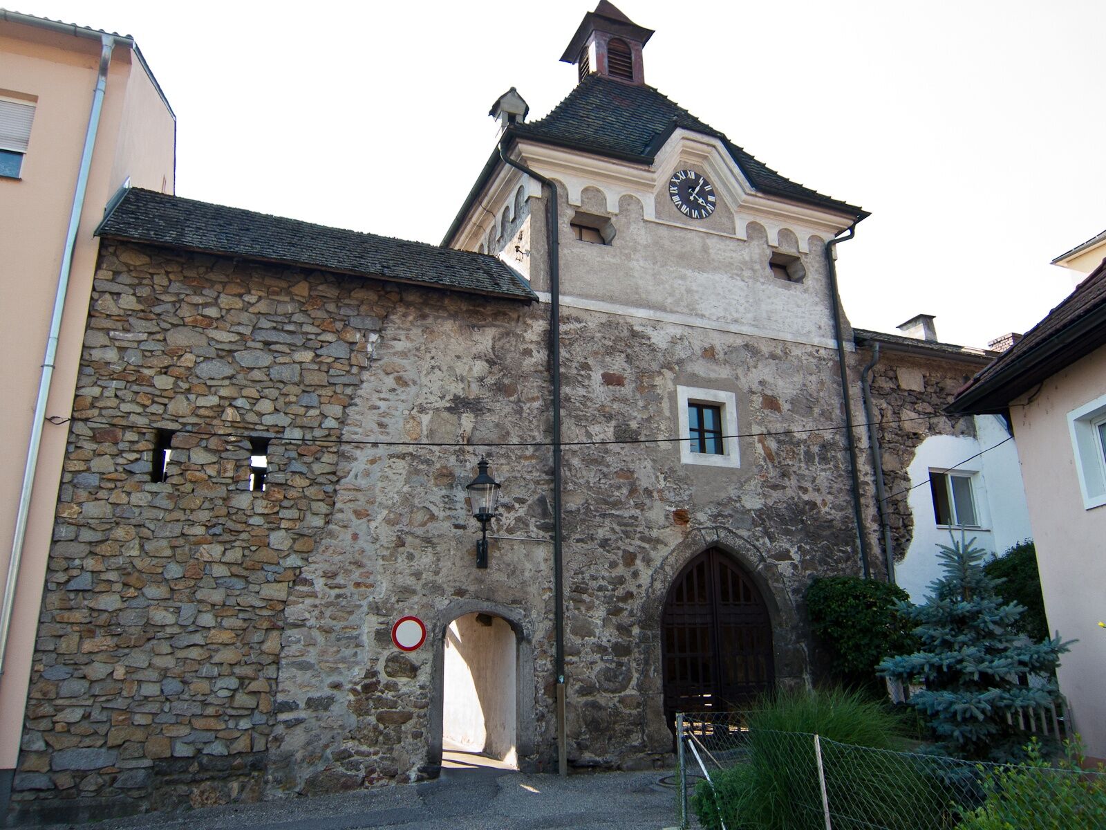
Mauthausen - the Donausteig-starting "Mauthausen" is located at the Tourism Office (on the waterfront) southeast of Schloss Pragstein (castle) near the stone sculptures.
- Höjdprofil
-


- Författare
-
Turnén Donausteig Stage 3_N08 Steyregg - Mauthausen: „Danube rivers und hill country“ används av outdooractive.com förutsatt.
GPS Downloads


Allmän information
Förfriskningsstopp
Kulturell/Historisk
Flora
Lovande
Fler turer i regionerna
-
Mühlviertel
1781
-
Linz & Region Linz
842
-
St. Georgen an der Gusen
203