© Tourismusverein Andorf

© Tourismusverein Andorf

- Kort beskrivning
-
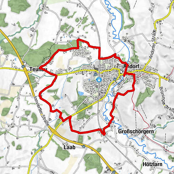
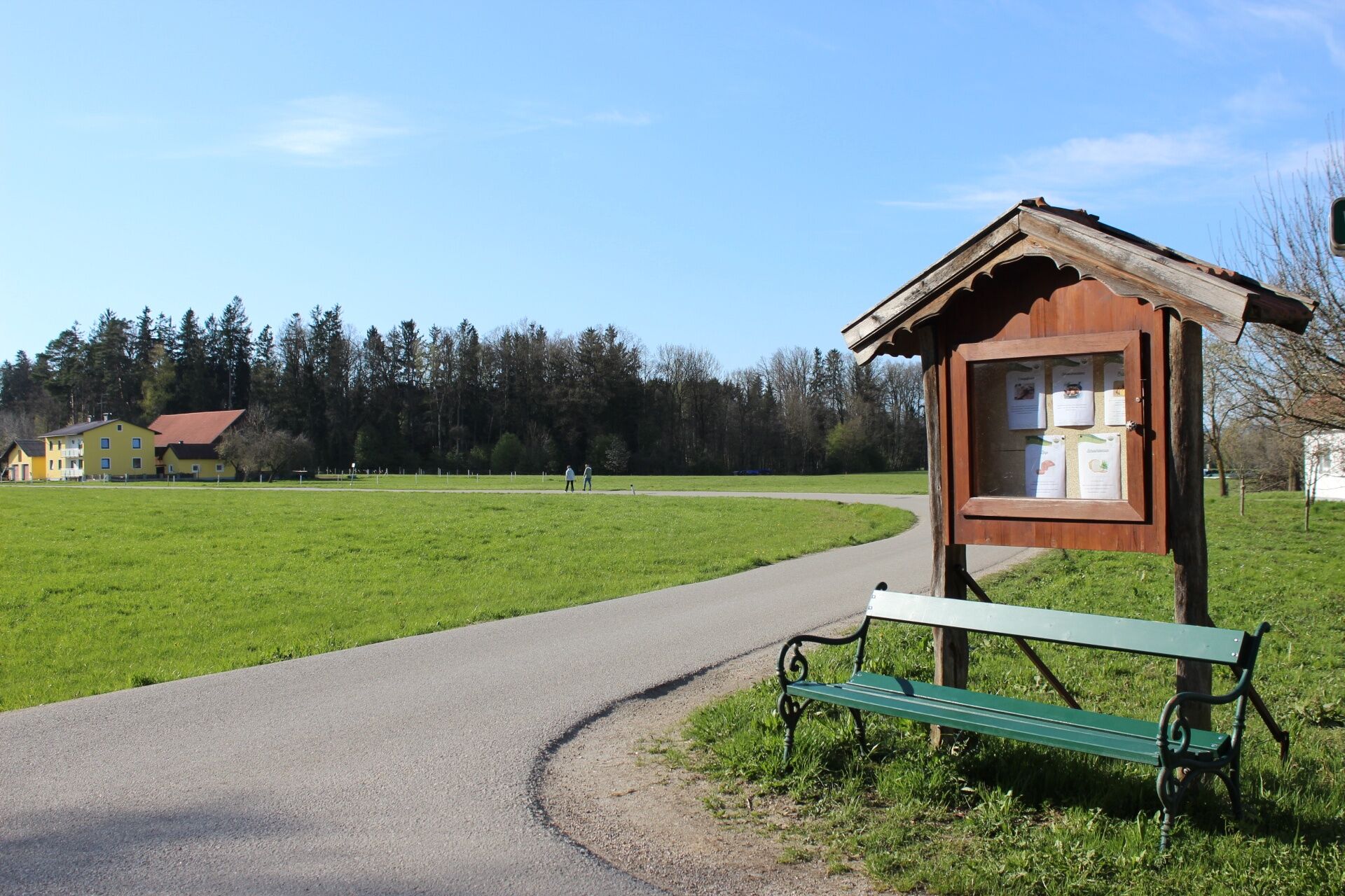
A hike that takes you from the centre through the highs and lows of Andorf.
- Väg
-
Pfarrkirche Andorf0,2 kmLandhotel & Gasthof Bauböck0,2 kmAndorf (346 m)0,3 kmPram1,3 kmBruck1,5 kmHeitzing2,3 kmHeitzingerau2,8 kmGeßlhäuser3,4 kmHof4,6 kmPranzen5,8 kmRadlern6,5 kmTeuflau7,1 kmErlau8,4 kmWinertshamerau8,7 kmLohstampf10,0 kmAndorf (346 m)10,8 km
- Bästa säsongen
-
janfebmaraprmajjunjulaugsepoktnovdec
- Högsta punkt
- 407 m
- Destination
-
VVA-Gelände (Folk Festival and Beautification Grounds)
- Höjdprofil
-

- Författare
-
Turnén Teuflauauer Holz - W2 används av outdooractive.com förutsatt.
GPS Downloads


Allmän information
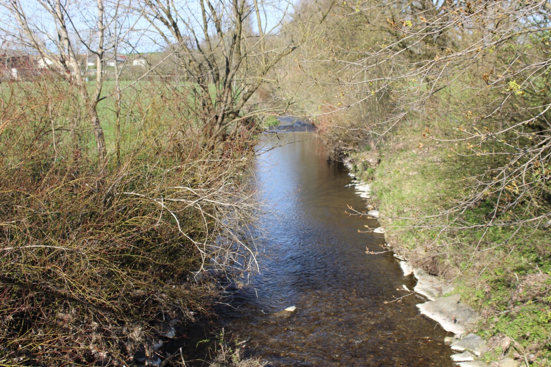
Förfriskningsstopp
Lovande
Fler turer i regionerna
-
Innviertel
797
-
s'Innviertel
341
-
Andorf
43