- Svårighet
-
tung
- Utvärdering
-
- Väg
-
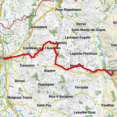
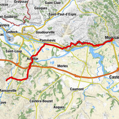
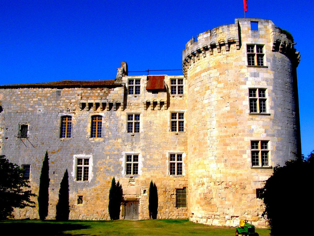
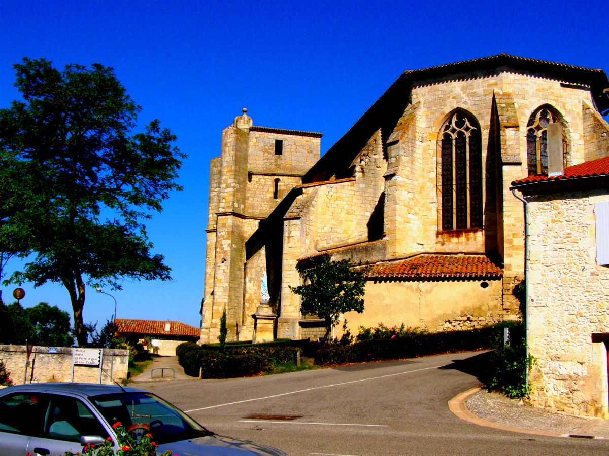
Le BastionLectoure0,2 kmFaubourg Saint-Gervais0,5 kmLa Plancha "Chez Bayonne"10,5 kmÉglise Paroissiale Sainte-Blandine10,5 kmCastet-Arrouy10,8 kmLevant de la Route de Lectoure14,9 kmCouchant de la Route de Lectoure14,9 kmL'étape15,0 kmÉglise Saint-Orens et Saint-Louis15,1 kmMiradoux15,2 kmFaubourg du Levant15,5 kmLelevant15,7 kmBourdette15,8 kmGauran18,2 kmFlamarens19,3 kmSaint-Antoine23,7 km
- Högsta punkt
- 212 m
- Höjdprofil
-
 © outdooractive.com

- Författare
-
Turnén Jerusalemweg: Lectoure - Saint-Antoine används av outdooractive.com förutsatt.
GPS Downloads


Allmän information
Förfriskningsstopp
Fler turer i regionerna
-
Gers
148
-
Lomagne gersoise
68