Datum för turné
9,27km
1.001
- 2.609m
1.623hm
13hm
06:00h
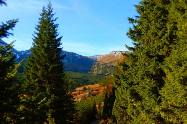
Region Hohe Tatra
- Kort beskrivning
-
The highest peak of the High Tatras, Gerlachovský štít , can be climbed with a mountain guide only. Mountain guides are united by the Association of Mountain Guides of the Slovak Republic.
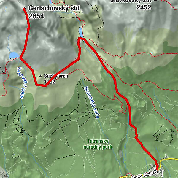
- Väg
-
WeszterheimKaplnka Sedembolestnej Panny Márie0,1 kmSliezsky dom4,2 kmDromedárov chrbát (2.227 m)8,2 kmGerlsdorfer Spitze (2.654 m)9,0 km
- Högsta punkt
- 2.609 m
- Höjdprofil
-
 © outdooractive.com
- Författare
-
Region Hohe TatraTurnén Peak ascent - Gerlachovský štít används av outdooractive.com förutsatt.
GPS Downloads


Fler turer i regionerna
-
Poprad
97