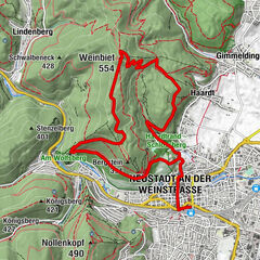
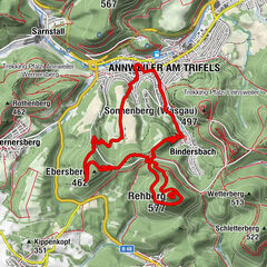
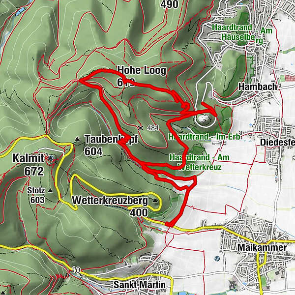
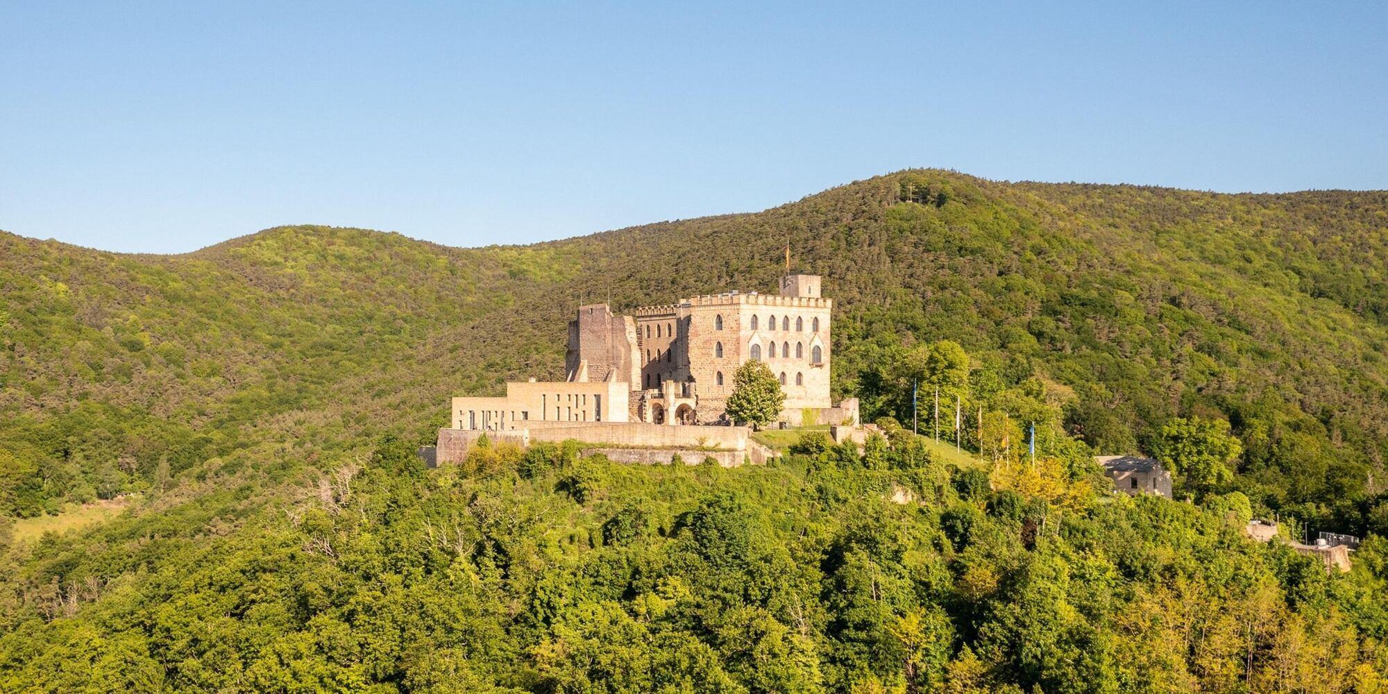
Trails, panoramic views and a castle in the Pfälzerwald biosphere reserve


© Büro für Tourismus Maikammer

© Unbekannt

© Pfalz Touristik e.V., Ziegler

© Dominik Ketz

© Unbekannt

- Kort beskrivning
-
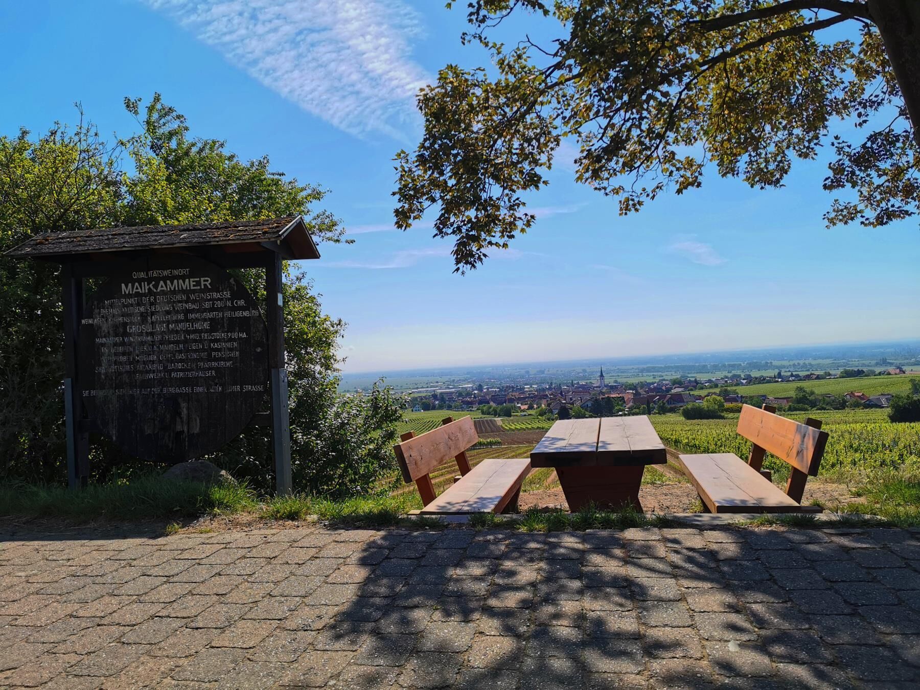
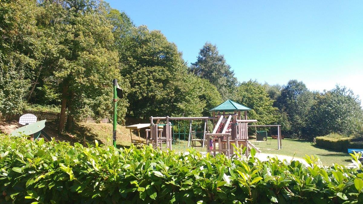
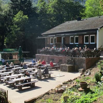
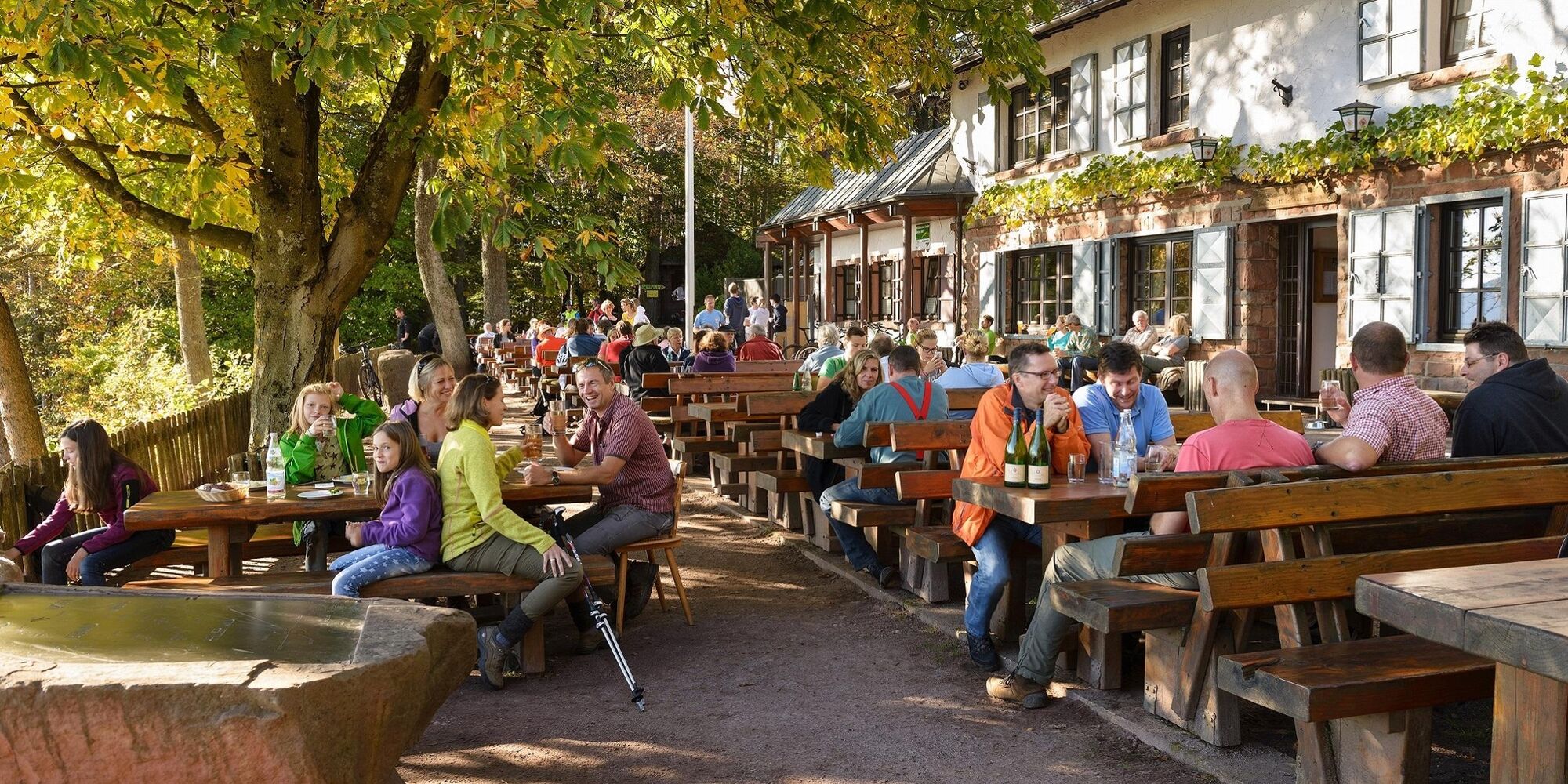
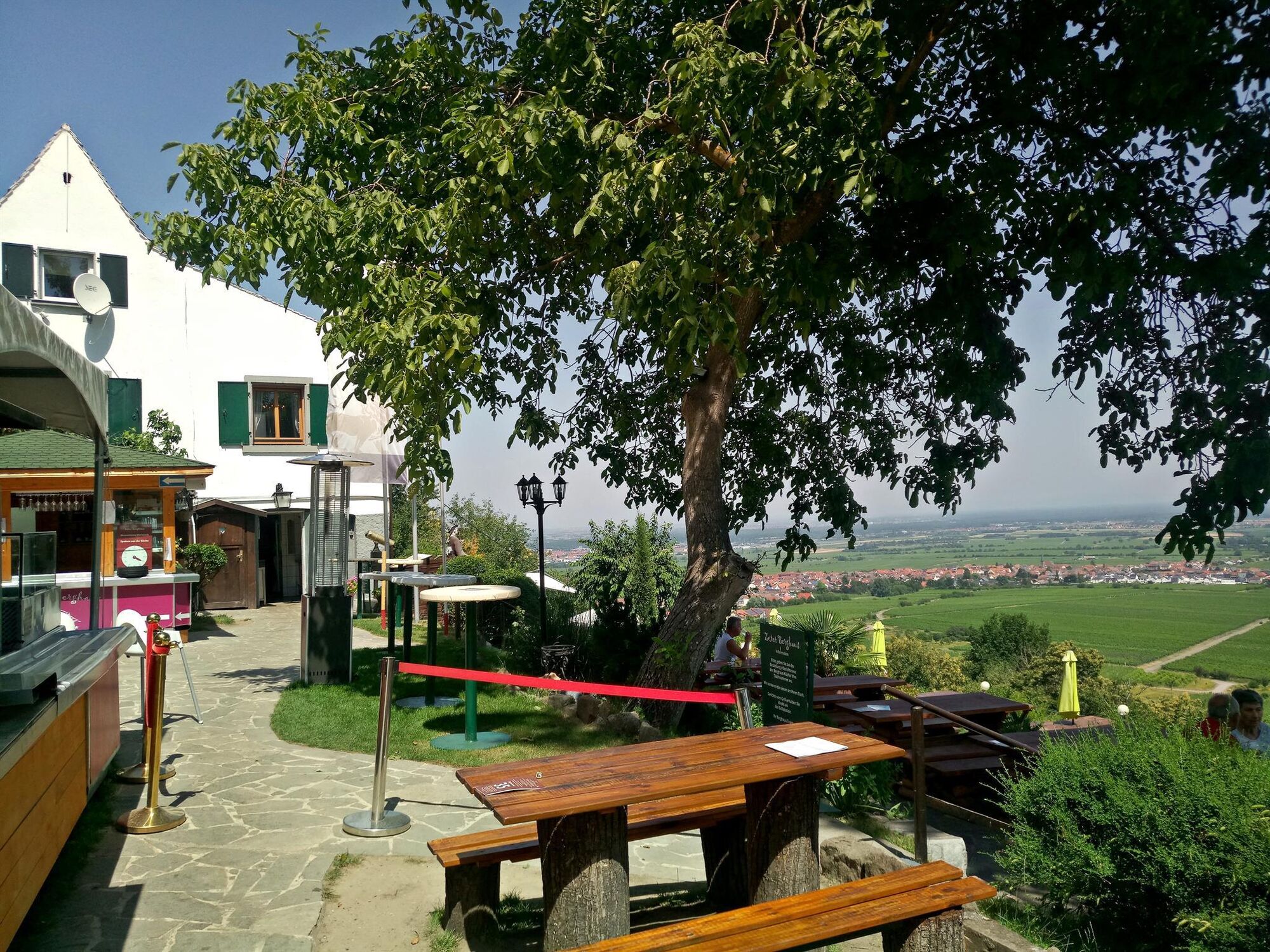
Beautiful paths, lovely views and good places to stop for refreshments
- Svårighet
-
medium
- Utvärdering
-
- Väg
-
Klausentalhütte1,5 kmHohe Loog Haus4,7 kmHohe Loog (619 m)4,9 kmRittersberg (532 m)5,9 kmNeustadt an der Weinstraße (136 m)8,3 km
- Bästa säsongen
-
janfebmaraprmajjunjulaugsepoktnovdec
- Högsta punkt
- 608 m
- Destination
-
Parking lot on Kalmithöhenstraße on the right-hand side
- Höjdprofil
-
 © outdooractive.com
- Författare
-
Turnén Trails, panoramic views and a castle in the Pfälzerwald biosphere reserve används av outdooractive.com förutsatt.
GPS Downloads


Allmän information
Förfriskningsstopp
Lovande
Fler turer i regionerna
-
Pfalz
1512
-
Landauland
960
-
Maikammer
414