- Kort beskrivning
-
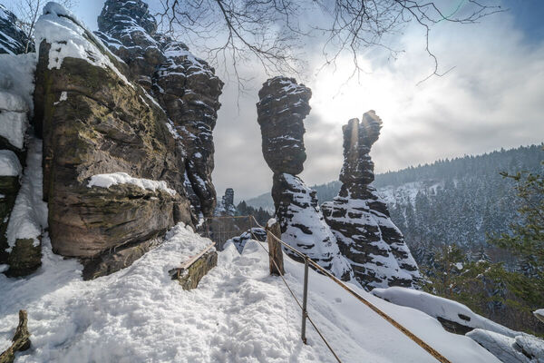
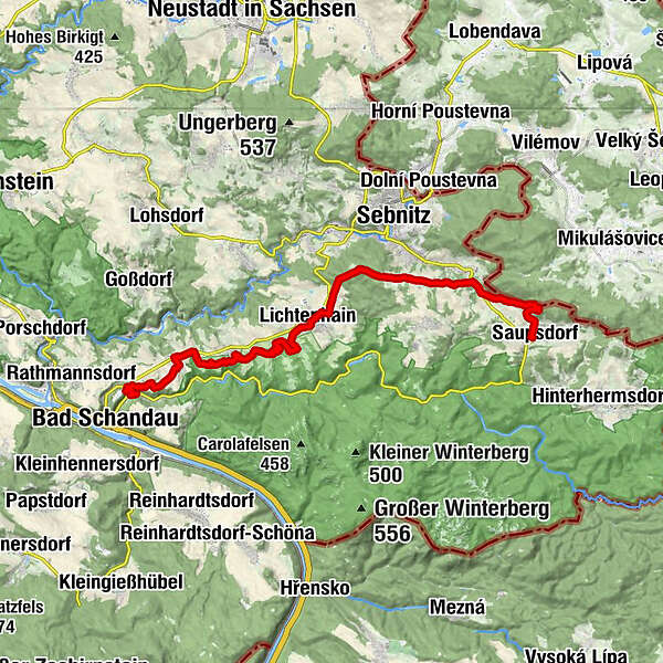
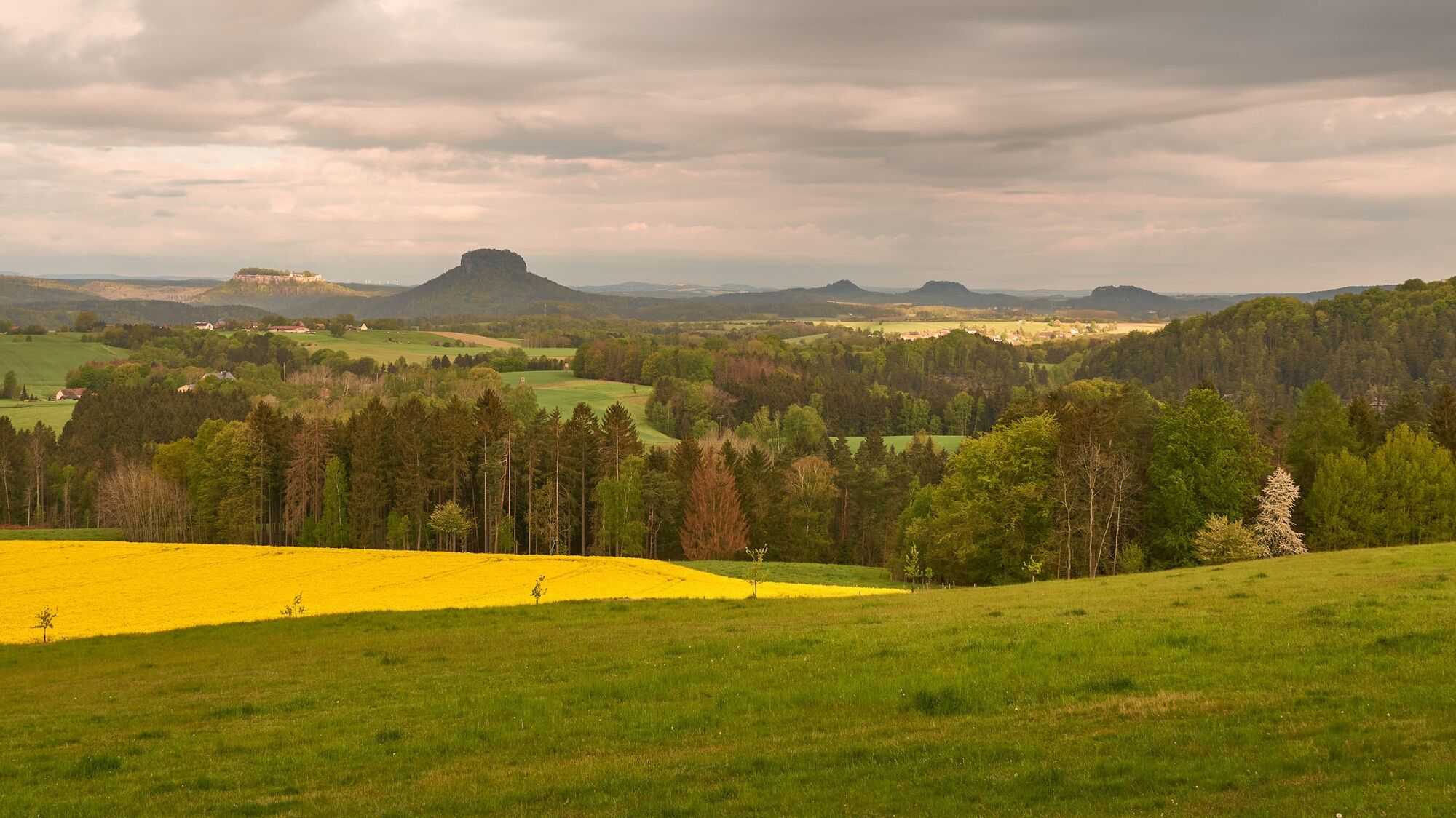
No trail in the Elbe Sandstone Mountains deserves more to be called a panorama trail. Impressive views of the Winterberg massif, the Schrammstein chain or the Affensteine area dominate this approx. 18-kilometre-long route, on which there are no notable climbs to master. Benches and tables invite you to rest at the most beautiful spots. Those who walk this trail can expect an unforgettable landscape experience that even old Elbe Sandstone connoisseurs rave about.No trail in the Elbe Sandstone Mountains is more deserving of the designation Panorama Trail. Impressive views of the Winterberg massif, the Schrammstein chain or the Affensteine area dominate this approx. 18-kilometre-long route, on which there are no notable climbs to master. Benches and tables invite you to rest at the most beautiful spots. Those who walk this path can expect an unforgettable landscape experience that even old Elbe sandstone connoisseurs rave about.
- Svårighet
-
medium
- Utvärdering
-
- Väg
-
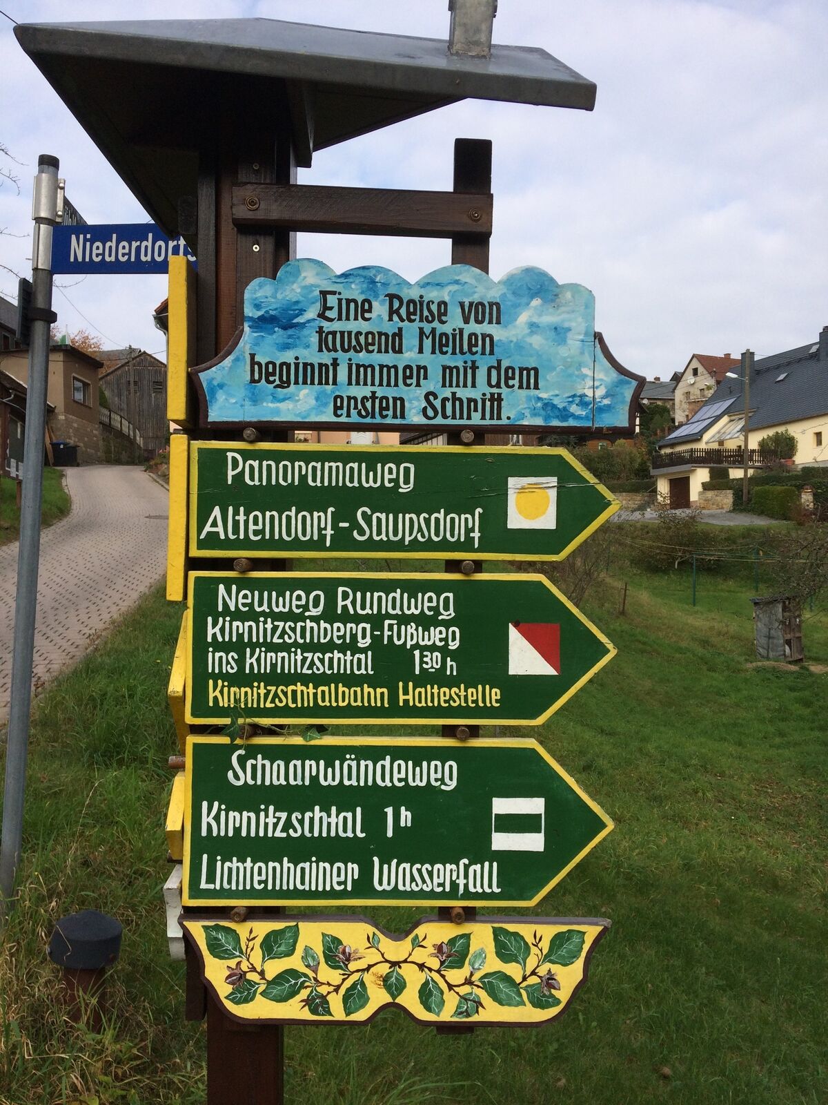
Wustmanndörfel0,8 kmGoldgründeltal1,3 kmAltendorf2,9 kmMittelndorf5,5 kmRastplatz Birkenberg6,8 kmMárnice9,1 kmLichtenhain (320 m)9,7 kmSaupsdorf (347 m)19,1 km
- Bästa säsongen
-
janfebmaraprmajjunjulaugsepoktnovdec
- Högsta punkt
- 465 m
- Destination
-
Altendorf
- Höjdprofil
-
 © outdooractive.com

-

-
FörfattareTurnén Panoramic hiking trail: from Saupsdorf to Altendorf används av outdooractive.com förutsatt.


Allmän information
-
Oberlausitz-Niederschlesien
1005
-
Böhmisches Schweiz
787
-
Kirnitzschtal
453