

© Ciclovia Alpe Adria Radweg - caar-salzburg kunden

© Ciclovia Alpe Adria Radweg - caar-salzburg kunden


© Ciclovia Alpe Adria Radweg - caar-salzburg kunden

- Kort beskrivning
-
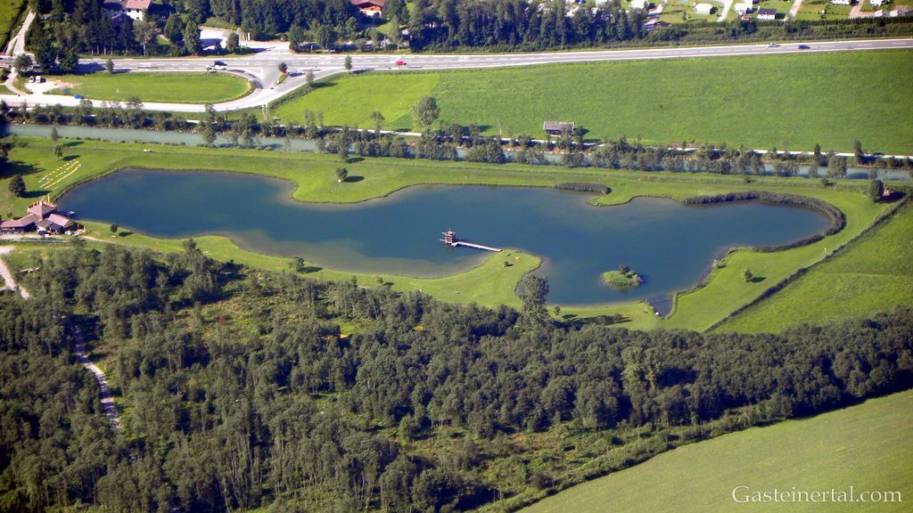
The second stage takes us initially alongside the reservoirs on the middle Salzach to Schwarzach, then tackles a climb before entering the Gastein Valley. A bike path leads us from the entrance to the valley to Bad Gastein, a magnificent location with Gastein Waterfall in the center of town.
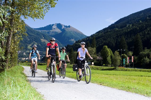
Our constant companions are the mountains of the Salzburg Alps. In Gastein Valley, views of the glaciated peaks of the Hohe Tauern mountains reveal themselves before our eyes.
- Svårighet
-
medium
- Utvärdering
-
- Väg
-
Bischofshofen0,5 kmPfarrkirche St. Maximillian0,8 kmunder the bridge2,3 kmSankt Johann im Pongau9,4 kmSankt Johann im Pongau10,1 kmHub16,2 kmSchwarzach im Pongau17,0 kmUrfahrgut17,4 kmBräustüberl Schwarzach17,4 kmOberuntersberg20,0 kmPummhäusl23,6 kmGasthof Posaunerwirt24,2 kmKlamm24,2 kmSebastianikapelle28,7 kmBurgschenke28,9 kmRestaurant Klammstein29,1 kmKlammstein29,2 kmMaierhofenkapelle32,0 kmMaierhofen32,1 kmAnna Kapelle33,5 kmDorfgastein33,6 kmFriedhofskapelle33,7 kmHeiliger Rupert und Virgil33,7 kmHarbach36,5 kmKapelle Harbach36,5 kmGewerbepark Harbach37,2 kmLaderdingerhof38,7 kmUnterladerding38,8 kmLaderding38,8 kmKampbergkapelle39,6 kmGallwies40,7 kmBad Hofgastein42,4 kmAnger44,7 kmLafener Stubn44,9 kmLafen45,0 kmKötschachdorf48,1 kmGasthaus Bäckerwirtsgut48,6 kmBadbruck48,6 kmBadberg49,3 kmNikolauskirche49,7 kmPreimskirche50,2 kmGasteiner Wasserfall50,4 kmWasserfall50,4 kmBad Gastein50,5 kmChristophoruskirche50,8 kmPyrkershöhe52,0 km
- Bästa säsongen
-
janfebmaraprmajjunjulaugsepoktnovdec
- Högsta punkt
- 1.082 m
- Destination
-
Bad Gastein
- Höjdprofil
-


- Författare
-
Turnén Ciclovia Alpe-Adria 2. cycle section: Bischofshofen-Bad Gastein används av outdooractive.com förutsatt.
GPS Downloads


Allmän information
Förfriskningsstopp
Kulturell/Historisk
Flora
Lovande
Fler turer i regionerna