© Skischule Exclusiv - Christoph Grahmann

© Skischule Exklusiv - Christoph Grahmann

© Skischule Exclusiv - Christoph Grahmann

© Skischule Exclusiv - Christoph Grahmann

© Skischule Exclusiv - Christoph Grahmann

- Kort beskrivning
-
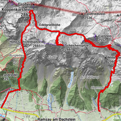
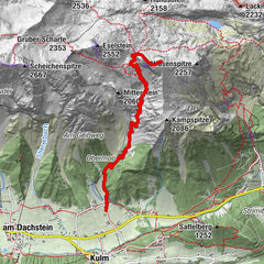
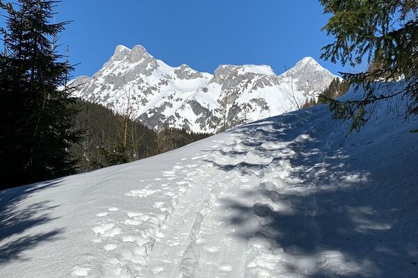
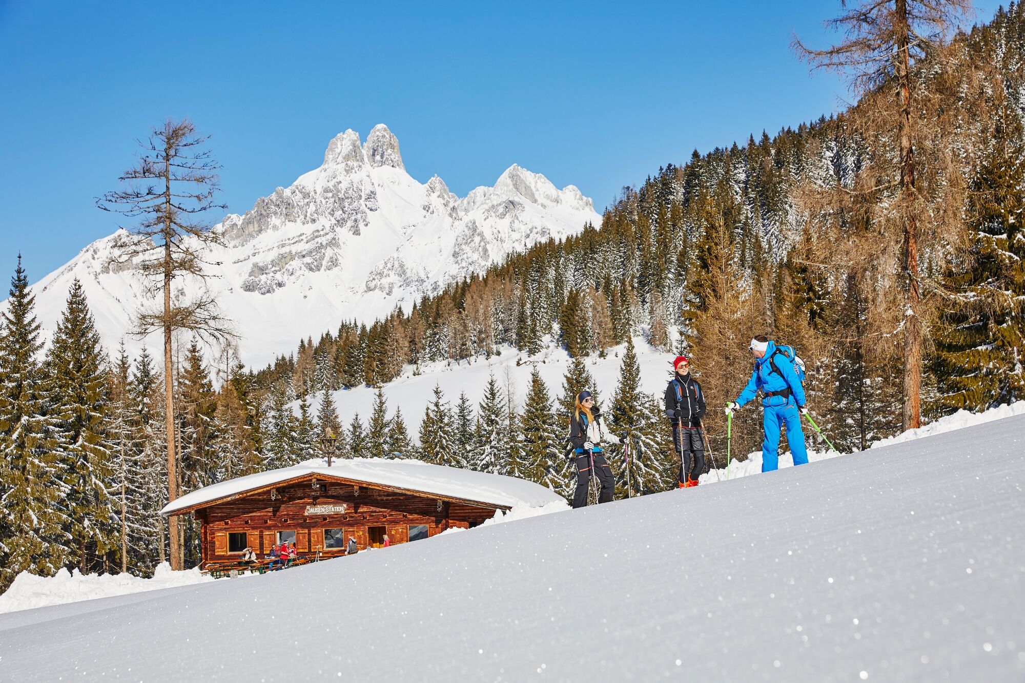
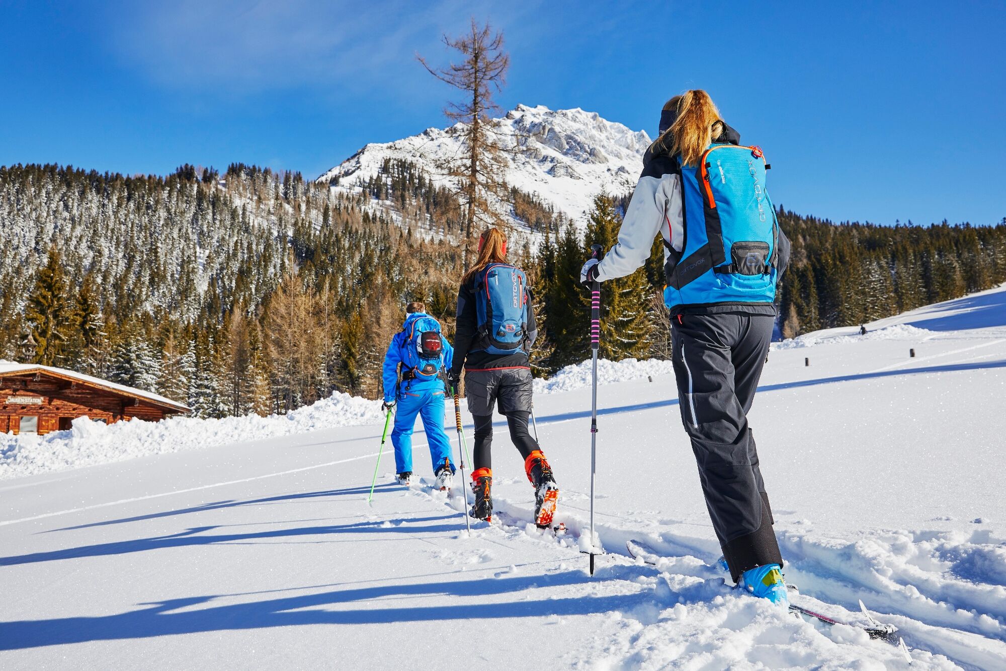
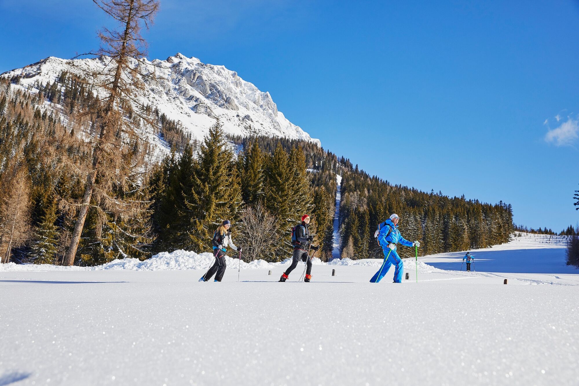
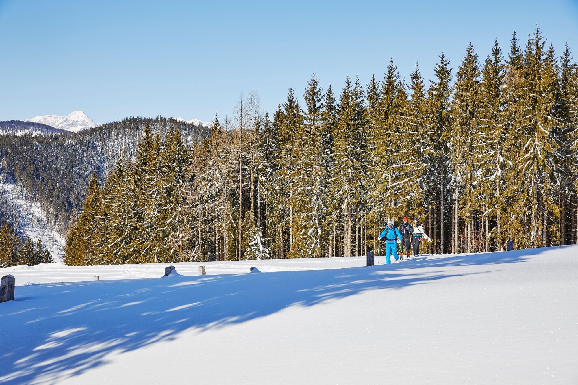
Am Westhang vom Rötelstein bieten sich mehrere Möglichkeiten für kurze, zum Teil durchaus steile Skitouren.
- Svårighet
-
lätt
- Utvärdering
-
- Bästa säsongen
-
augsepoktnovdecjanfebmaraprmajjunjul
- Högsta punkt
- 1.567 m
- Destination
-
Bergstation des ehemaligen Rettensteinliftes
- Exposition
- Höjdprofil
-


- Författare
-
Turnén Backcountry Skitour at the foot of the Rötelstein används av outdooractive.com förutsatt.
GPS Downloads


Allmän information
Förfriskningsstopp
Lovande
Fler turer i regionerna
-
Schladming - Dachstein
242
-
Ramsau am Dachstein
128
-
Filzmoos
54


")