
- Kort beskrivning
-
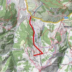
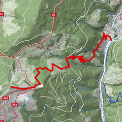
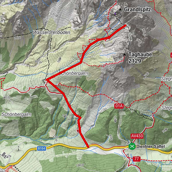
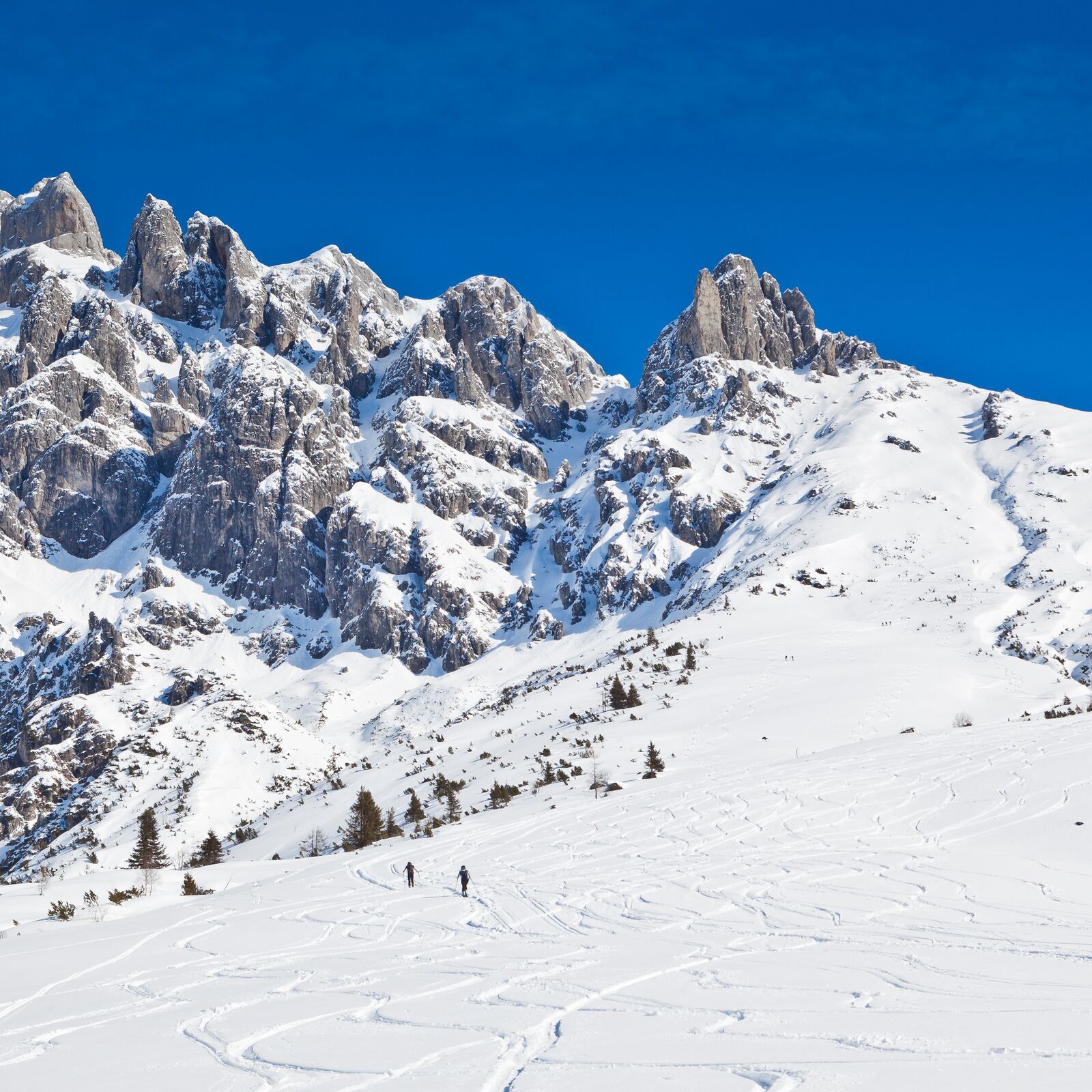
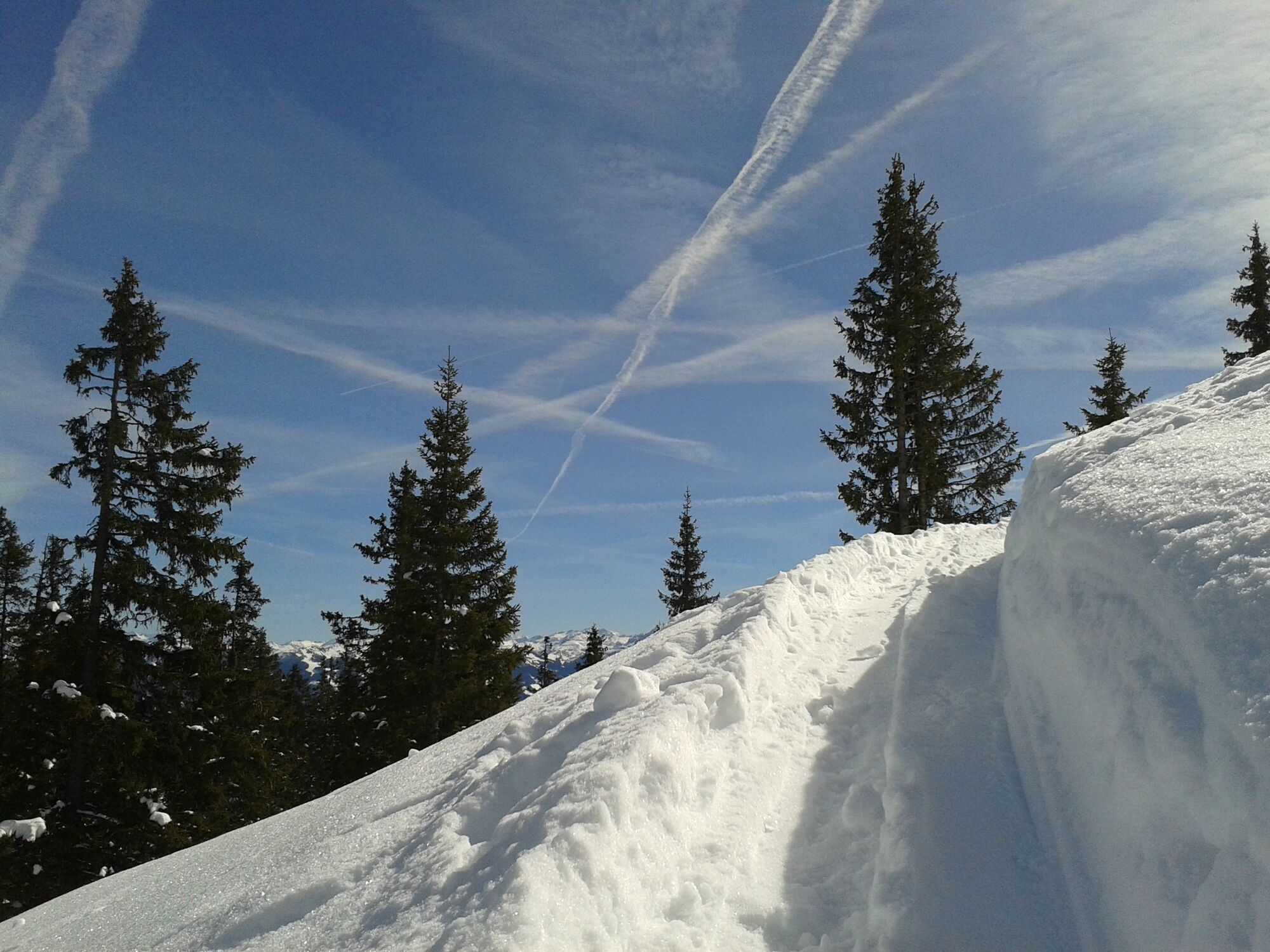
Moderately difficult tour in fantastic landscape. Slowly getting steeper and steeper towards the top, due to the southwest orientation the upper part of the tour is longer in the shade.
- Svårighet
-
medium
- Utvärdering
-
- Bästa säsongen
-
augsepoktnovdecjanfebmaraprmajjunjul
- Högsta punkt
- 2.137 m
- Destination
-
Cleft between Grandlspitz and Taghaube
- Exposition
- Höjdprofil
-

- Författare
-
Turnén Skitouring Taghaube (Taghaubenscharte) används av outdooractive.com förutsatt.
GPS Downloads


Fler turer i regionerna
-
Hochkönig
140
-
Dienten am Hochkönig
37