© Saalbach Hinterglemm - Gunter Mayer

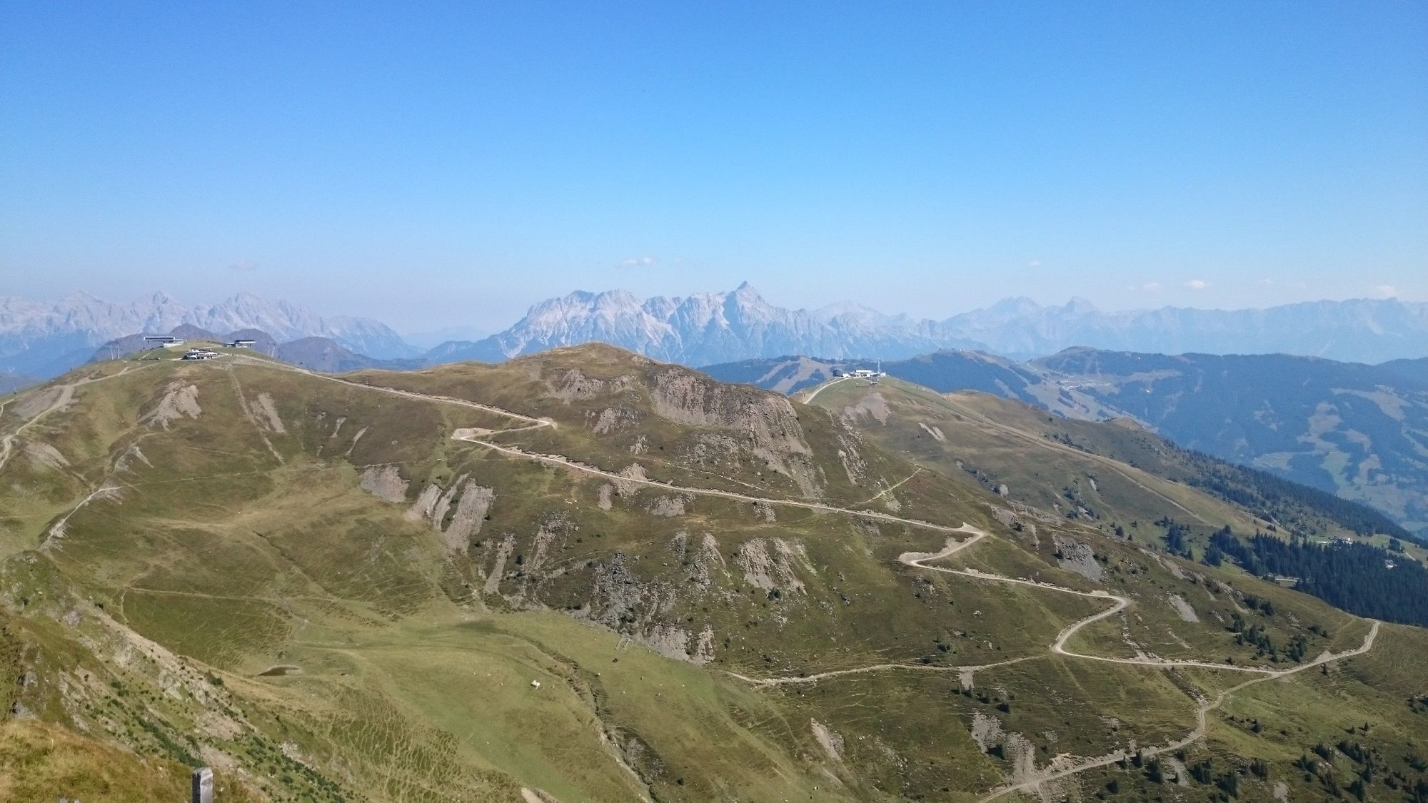
© Saalbach Hinterglemm - Gunter Mayer

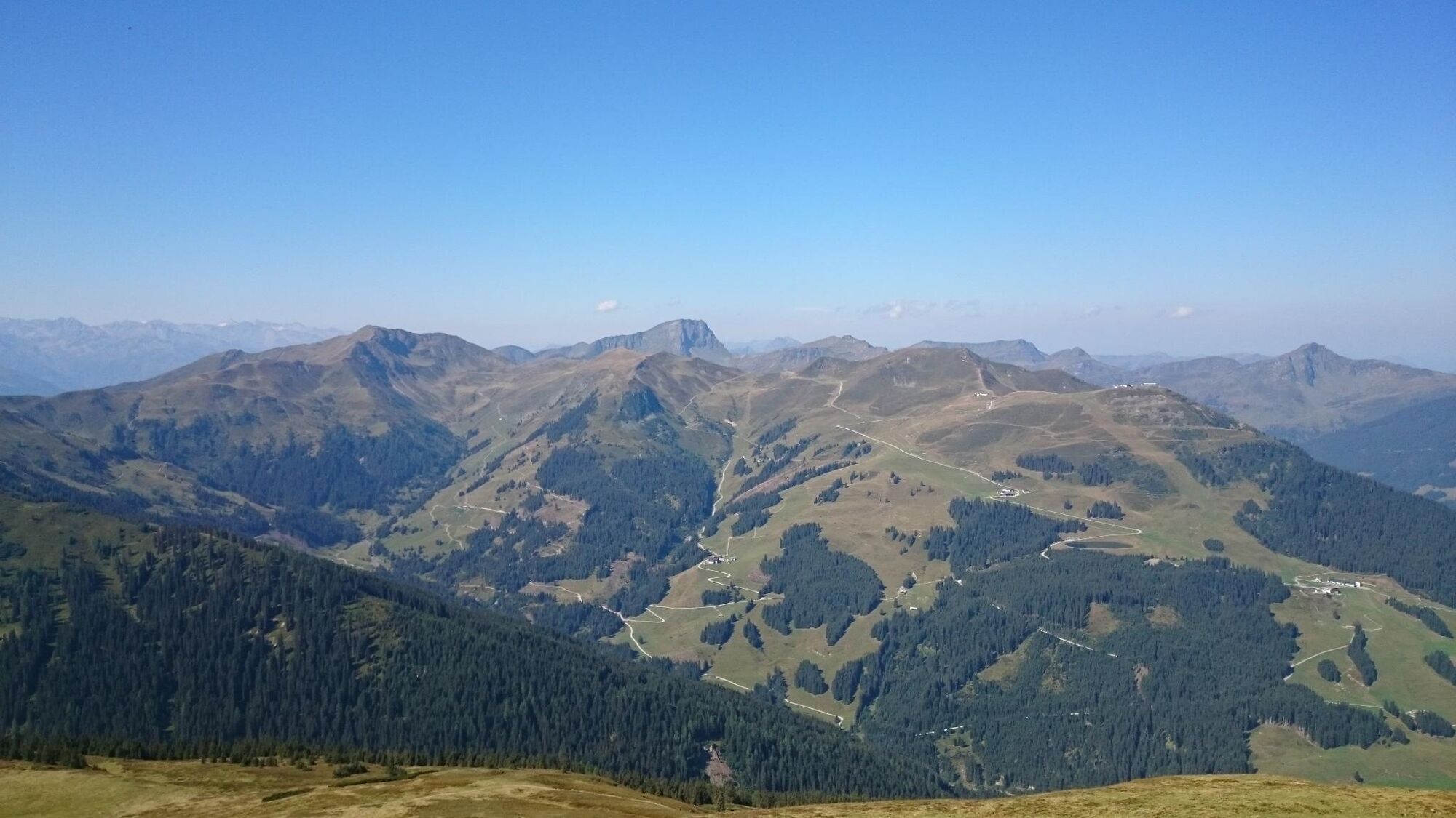
© Saalbach Hinterglemm - Gunter Mayer

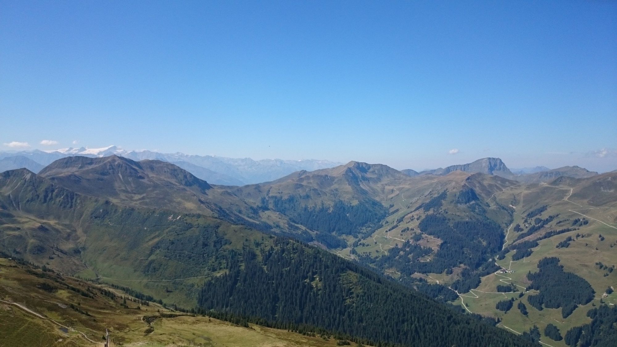
© Saalbach Hinterglemm - Gunter Mayer

© Saalbach Hinterglemm - Gunter Mayer

© Saalbach Hinterglemm - Gunter Mayer

© Saalbach Hinterglemm - Gunter Mayer
- Kort beskrivning
-
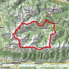
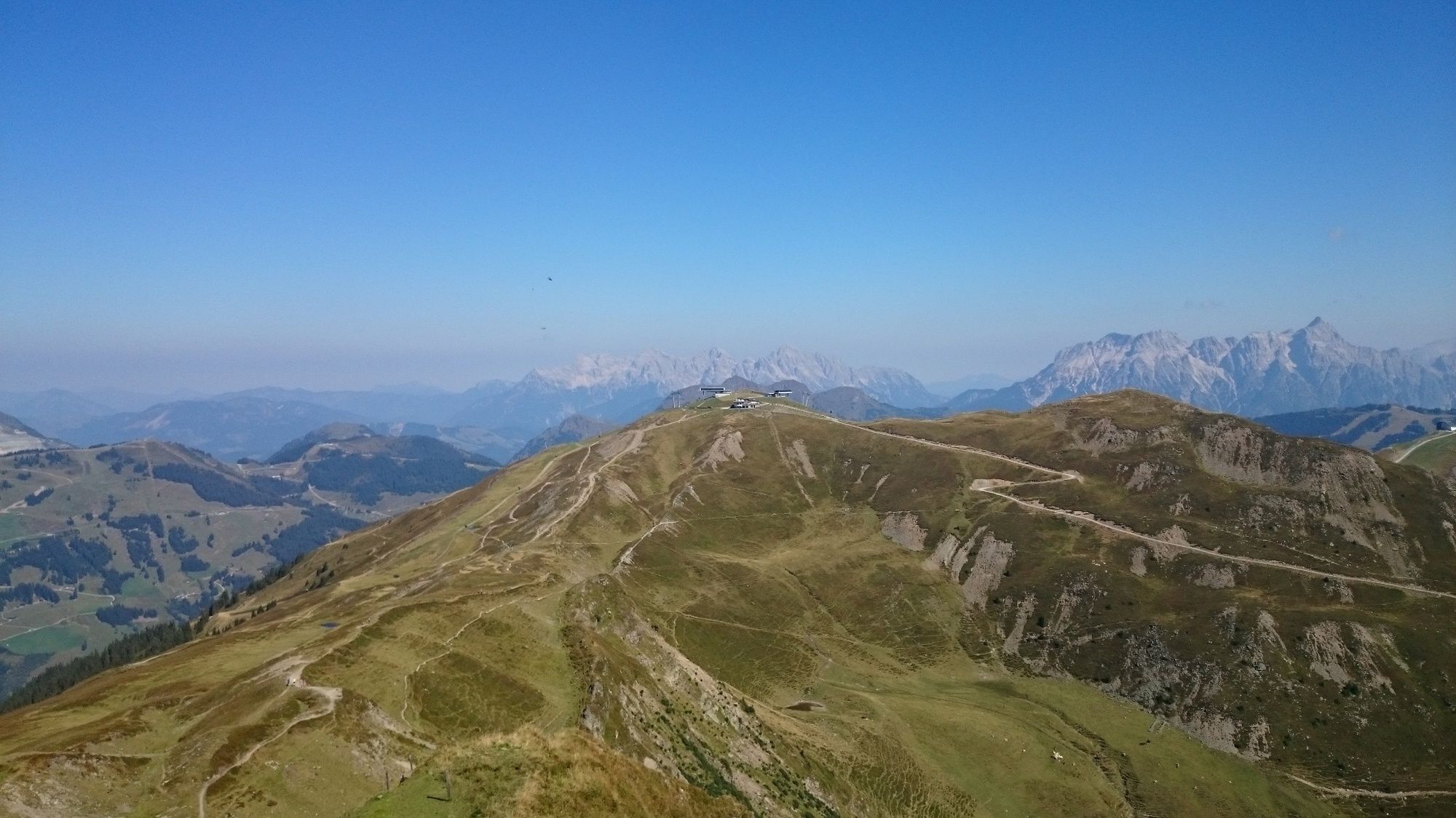
This trail run can be enjoyed in both directions and impresses with its extensive alpine meadows and the many summit victories that follow the route. It is recommended to use the gondola lift for ascent and descent.
- Svårighet
-
medium
- Utvärdering
-
- Väg
-
Zwölferkogel (1.984 m)0,1 kmHohe Penhab (2.113 m)1,3 kmSchoenhofer Wand3,0 kmStoffenscharte (2.015 m)4,5 kmManlitzkogel (2.247 m)5,5 kmRabenkopf (2.074 m)6,8 kmSommertörl (1.939 m)7,8 kmLamperbichlkogel (2.036 m)8,5 kmBärensteigkopf (2.225 m)9,6 kmSonnberg (2.187 m)10,0 kmMedalkogel (2.123 m)10,9 kmHochsaalbachkogel (2.212 m)11,6 kmHochkogel (2.249 m)12,1 kmKlinglertörl (2.059 m)12,7 kmSeetörl (1.964 m)14,0 kmSaalbachkogel (2.092 m)14,5 kmStemmerkogel (2.123 m)16,0 kmWestgipfelbahn Bergstation17,4 kmSchattberg West (2.096 m)17,4 kmWestgipfelhütte17,5 kmSkyRest18,9 kmSchattberg-Ost (2.018 m)18,9 km
- Bästa säsongen
-
janfebmaraprmajjunjulaugsepoktnovdec
- Högsta punkt
- 2.218 m
- Destination
-
Schattberg Ostgipfel Saalbach
- Höjdprofil
-


-

-
FörfattareTurnén Panorama Trail används av outdooractive.com förutsatt.
GPS Downloads


Allmän information
Förfriskningsstopp
Tips från insatta
Lovande
Fler turer i regionerna