© Salzburger Saalachtal Tourismus - Katrin Kerschbaumer


- Kort beskrivning
-
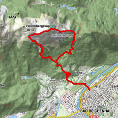
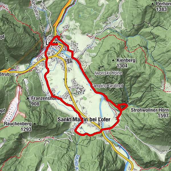
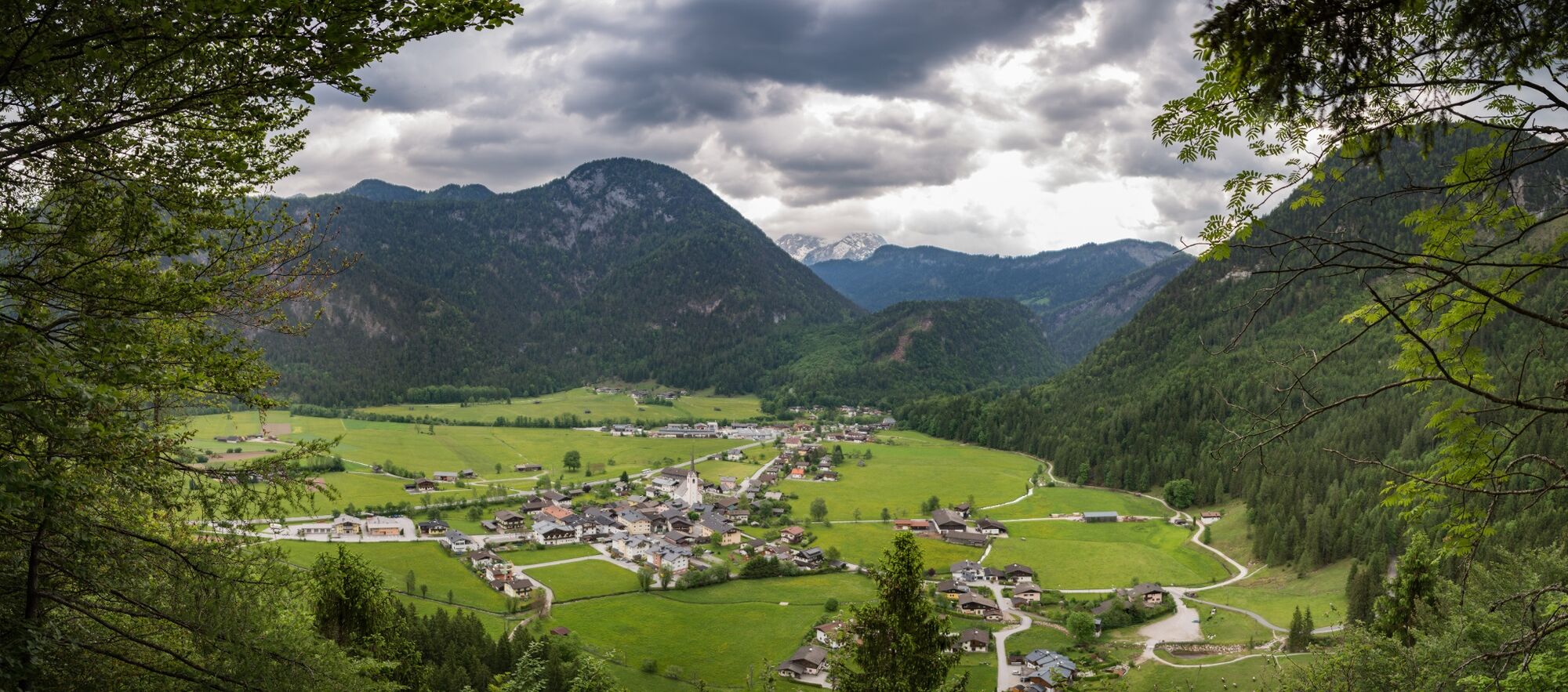
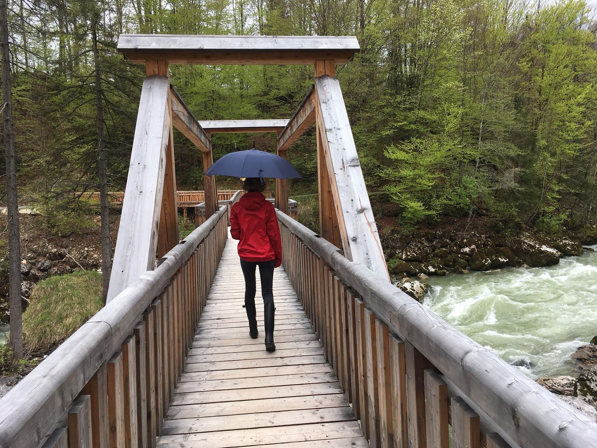
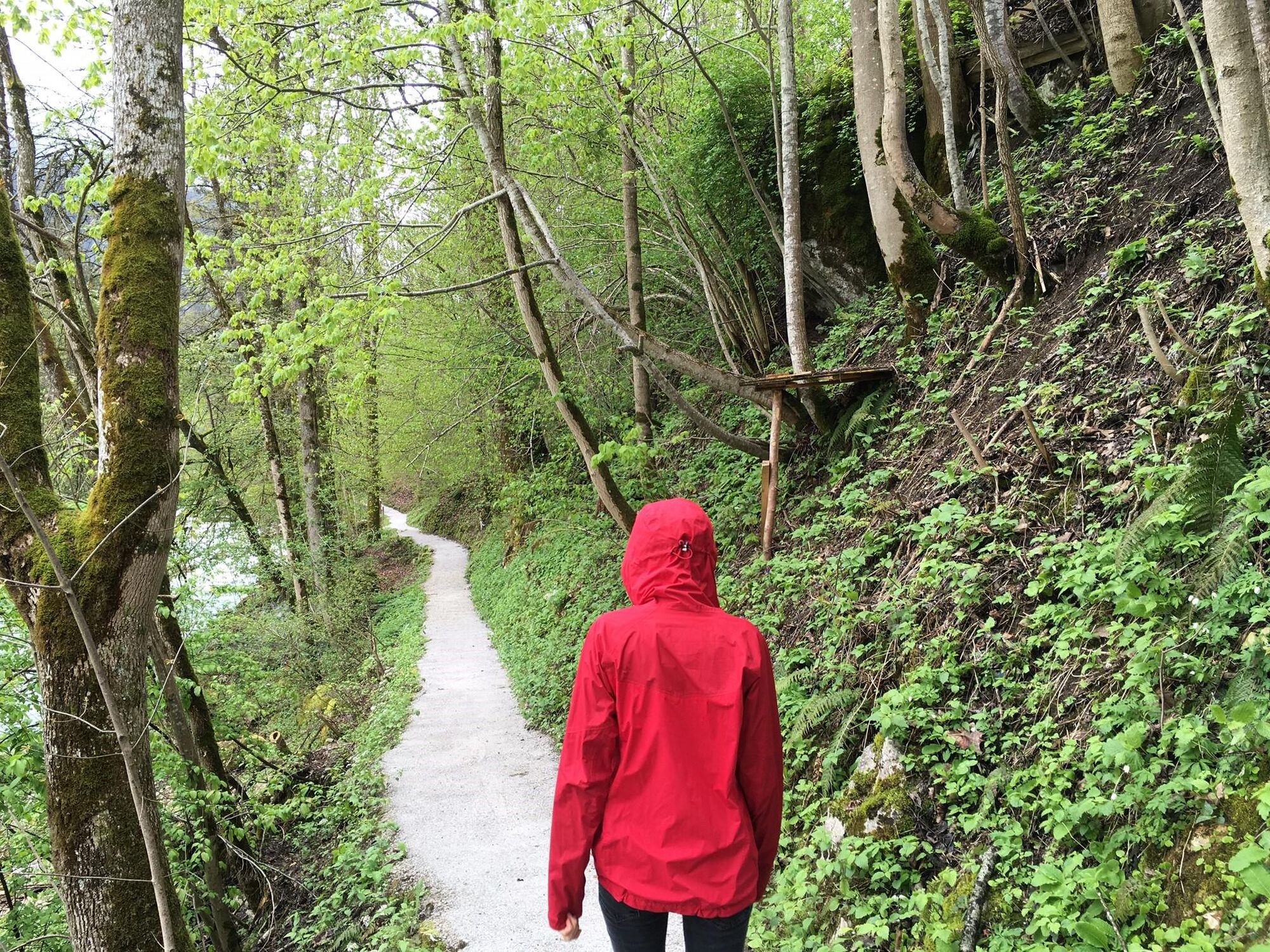
Leisurely valley hike through the Lofer and St. Martin basins.
- Svårighet
-
lätt
- Utvärdering
-
- Väg
-
Pfarrkirche Hll Maria und Leonhard0,1 kmLofer0,2 kmKreuzkirche Lofer0,3 kmTeufelssteg0,5 kmStrohwollner Schlucht3,9 kmStrohwolln4,7 kmGasthaus zum Steinerwirt6,7 kmSankt Martin bei Lofer6,8 kmRestaurant Cafe Martinerhof6,9 kmLofer10,0 kmPfarrkirche Hll Maria und Leonhard10,1 km
- Bästa säsongen
-
janfebmaraprmajjunjulaugsepoktnovdec
- Högsta punkt
- 737 m
- Destination
-
Lofer tourist information office
- Höjdprofil
-

-

-
FörfattareTurnén Along the Saalach to St. Martin används av outdooractive.com förutsatt.
GPS Downloads


Allmän information
Förfriskningsstopp
Fler turer i regionerna