
- Kort beskrivning
-
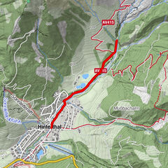
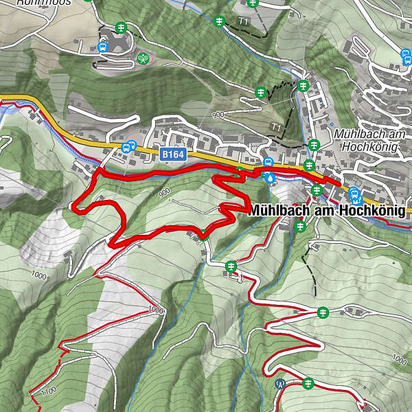
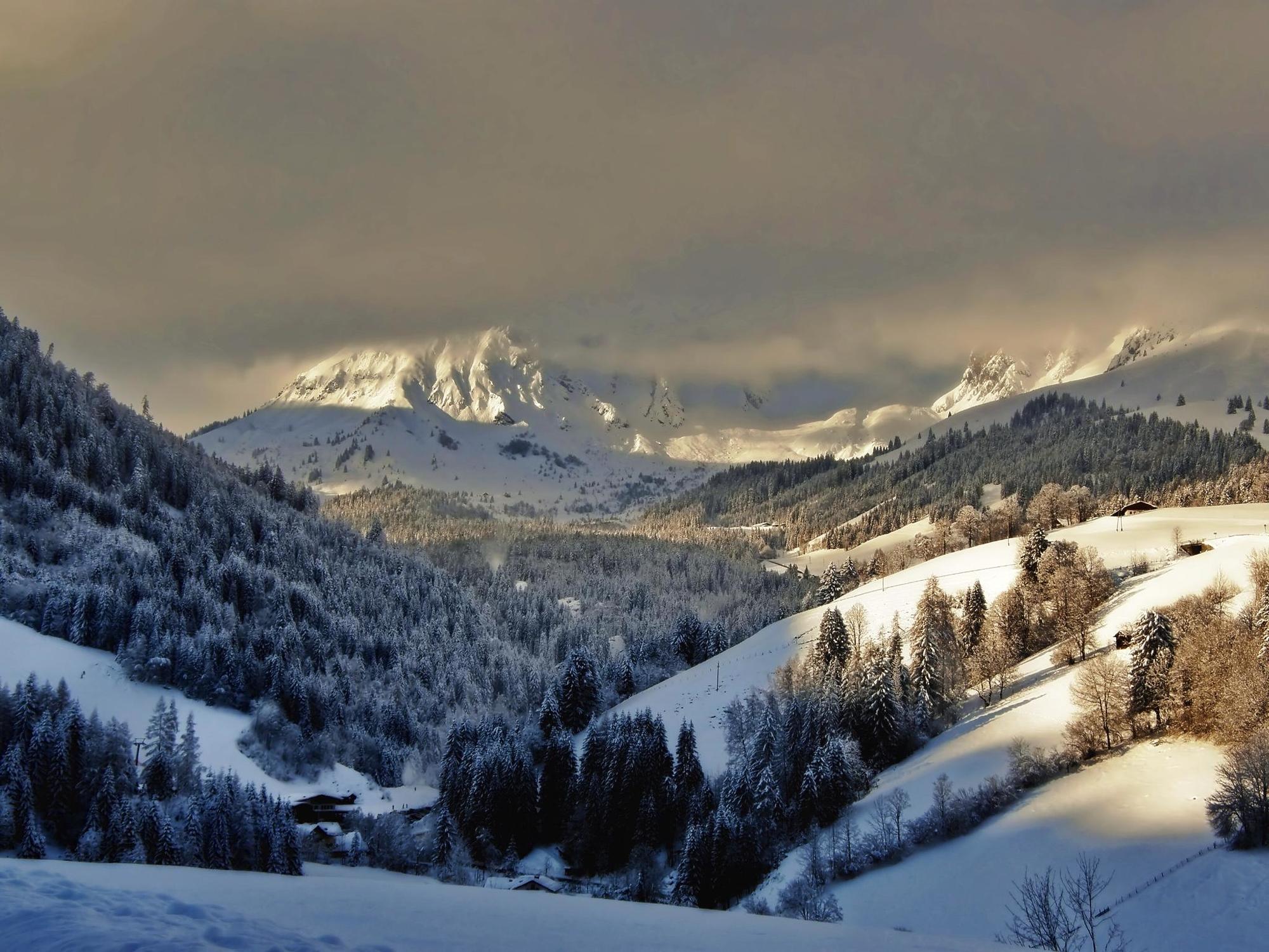
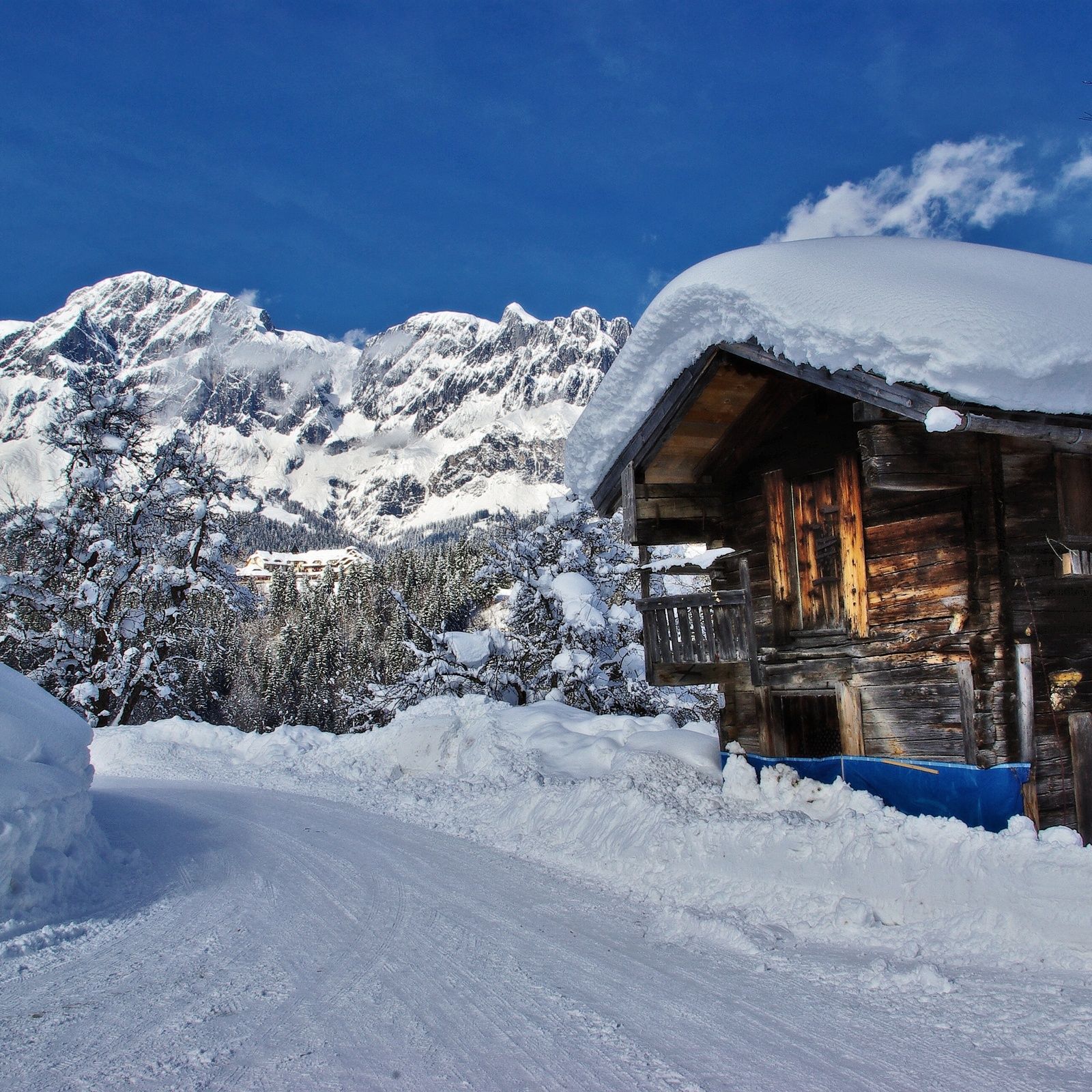
Come and enjoy the scenery in beautiful Mühlbach as you walk through and round our village.
All "Local Walking Routes" start at the Tourist Office - look for BK Bike shop and the Tourist Office is on the opposite side of the road.
- Svårighet
-
lätt
- Utvärdering
-
- Väg
-
Pfarrkirche zum hl. SebastianMühlbach am HochkönigMesnerhaus, Café, Bar & Restaurant0,0 kmAnderlwirt0,0 kmHöring0,1 kmSchlöglberg1,0 km
- Bästa säsongen
-
augsepoktnovdecjanfebmaraprmajjunjul
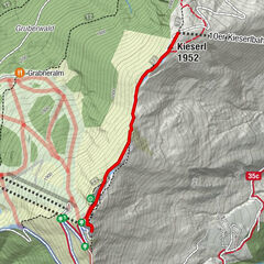
- Högsta punkt
- 944 m
- Destination
-
Tourist Office Mühlbach
- Höjdprofil
-

- Författare
-
Turnén Winter hiking route "Reithgut" används av outdooractive.com förutsatt.
GPS Downloads


Allmän information
Förfriskningsstopp
Lovande
Fler turer i regionerna