


- Kort beskrivning
-
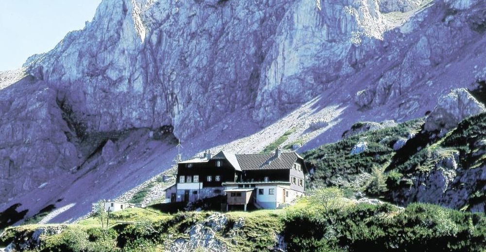
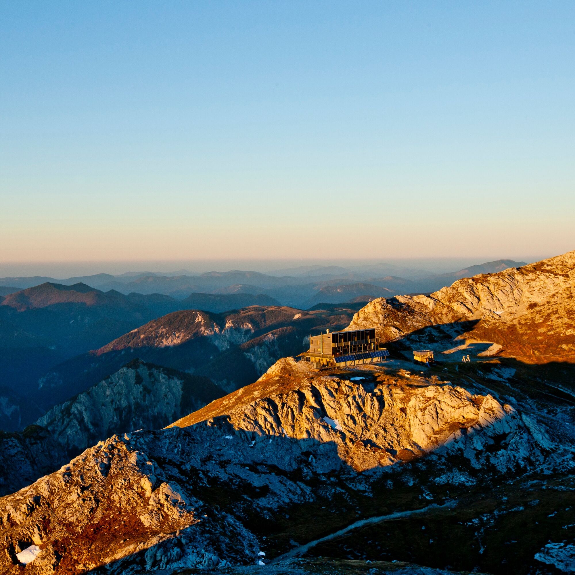
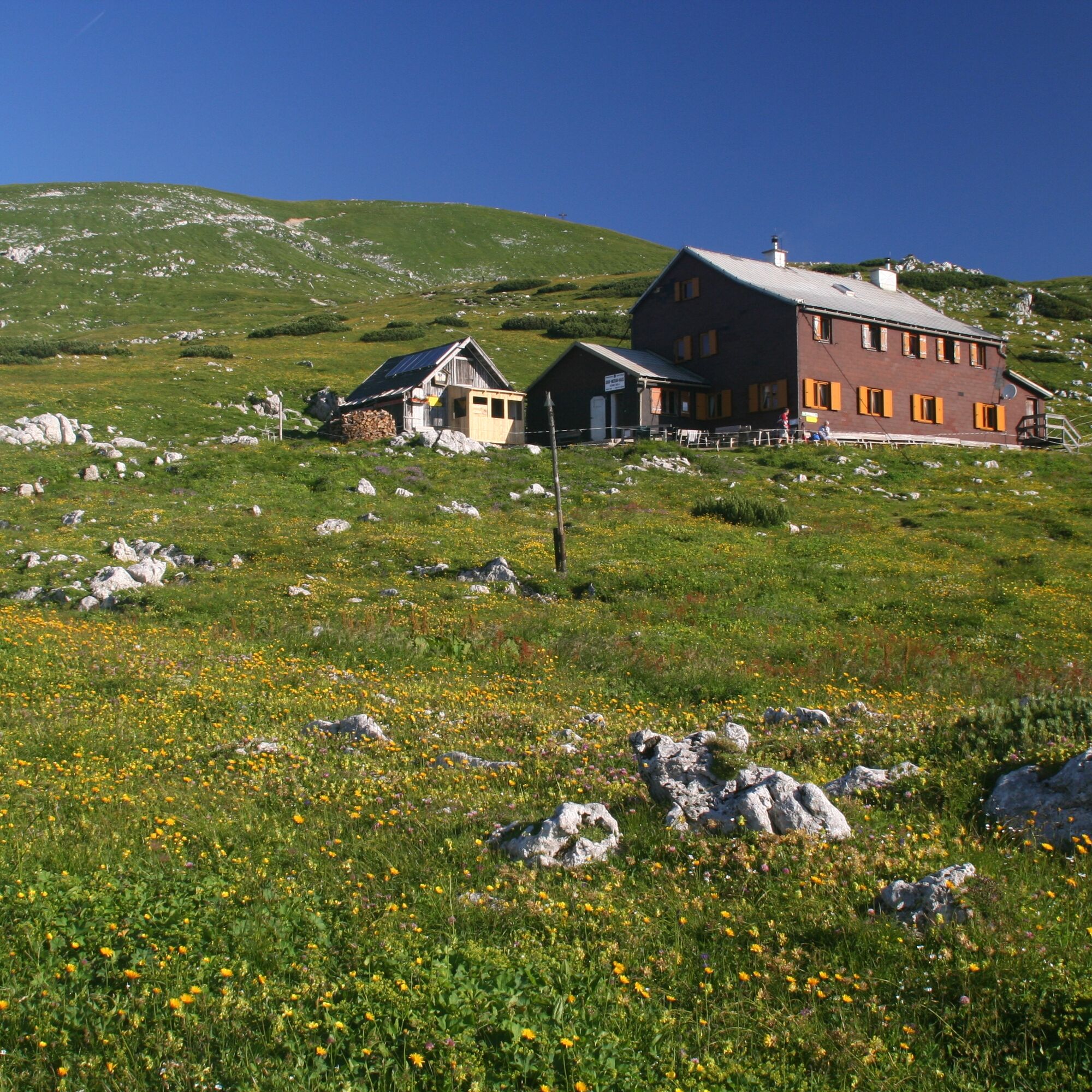
The Hochwechsel (1,743 m), together with the neighboring Stuhleck, which is 40 meters higher, is perhaps the last alpine peak in the Central Alps on the eastern edge of the Alps. Wide, sometimes rocky alpine pastures, which are called Schwaigen in this region, as well as a fantastic panorama from the Hungarian Balaton/Lake Balaton and the Vienna Basin in the east to the Styrian Limestone Alps and the Niedere Tauern in the west characterize the landscape here. The Hochschwab - at 2,277 meters above sea level - is not a giant in terms of its absolute height, but the extent of the mighty and alpine high plateau with more than 400 km² as well as the huge rocky cliffs up to 800 meters high create a massive mountain range in the Limestone Alps a water reservoir on top of that, as the Hochschwab supplies the metropolis of Vienna and the Styrian capital Graz with fresh drinking water.
- Svårighet
-
tung
- Utvärdering
-
- Väg
-
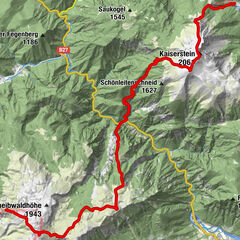
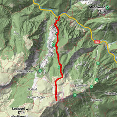
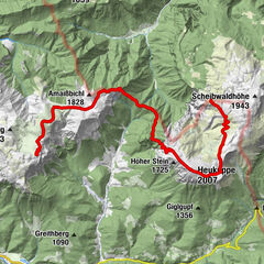
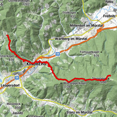
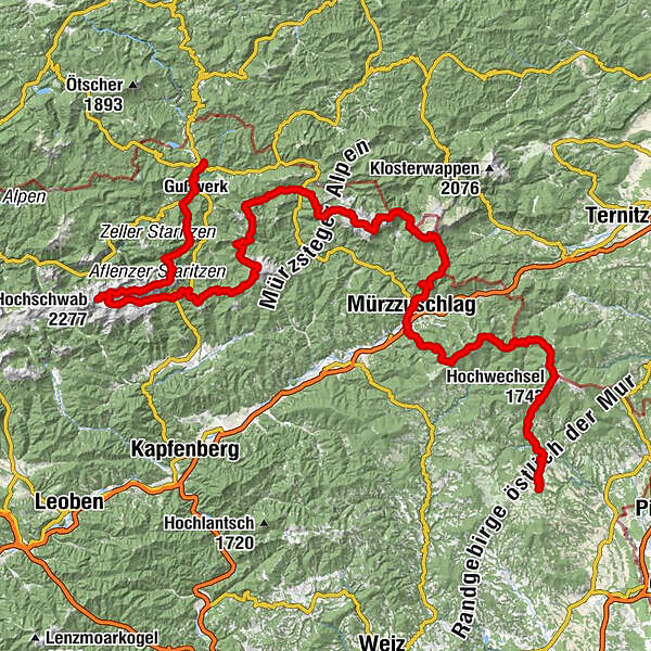
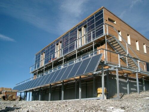
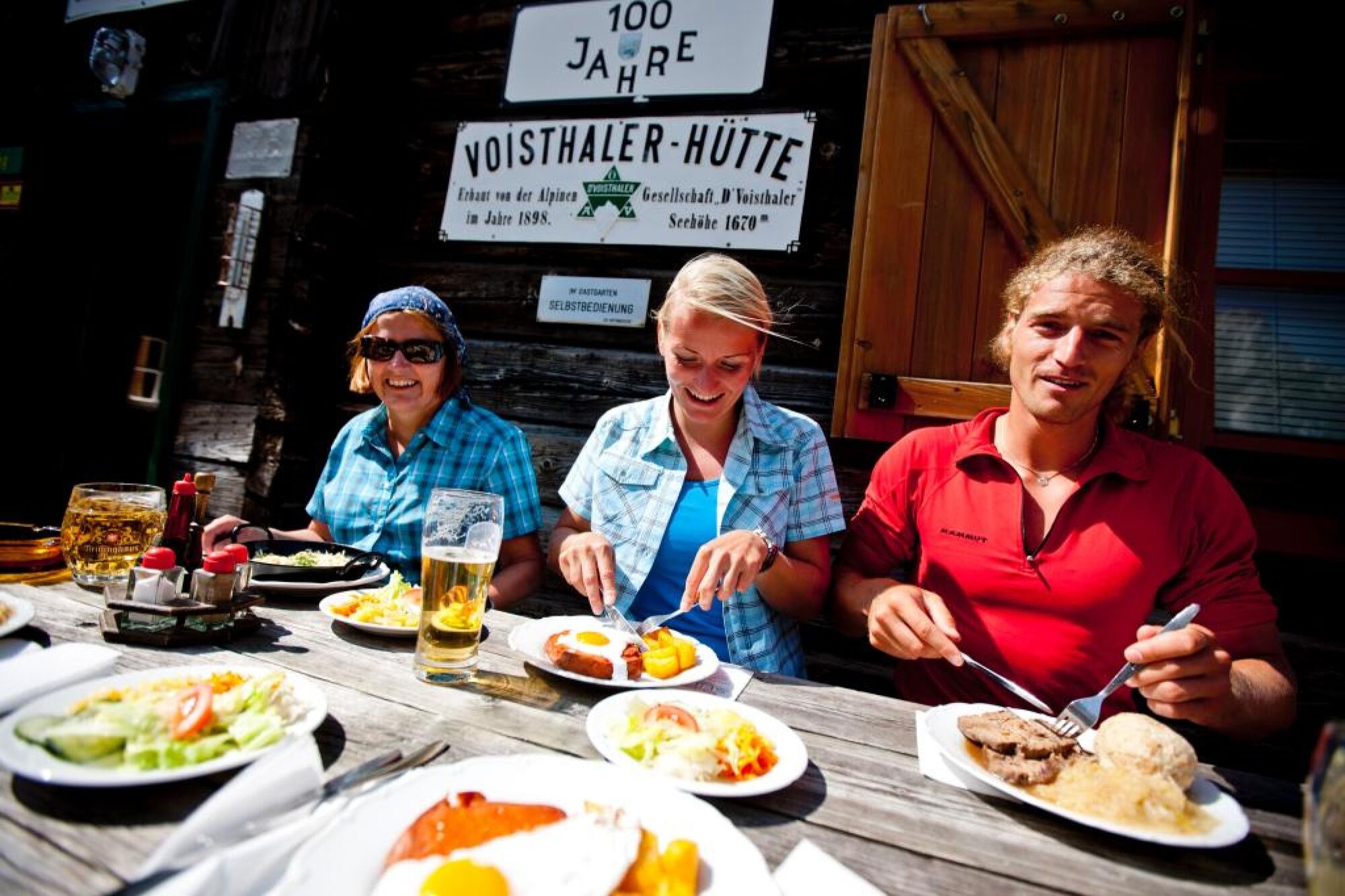
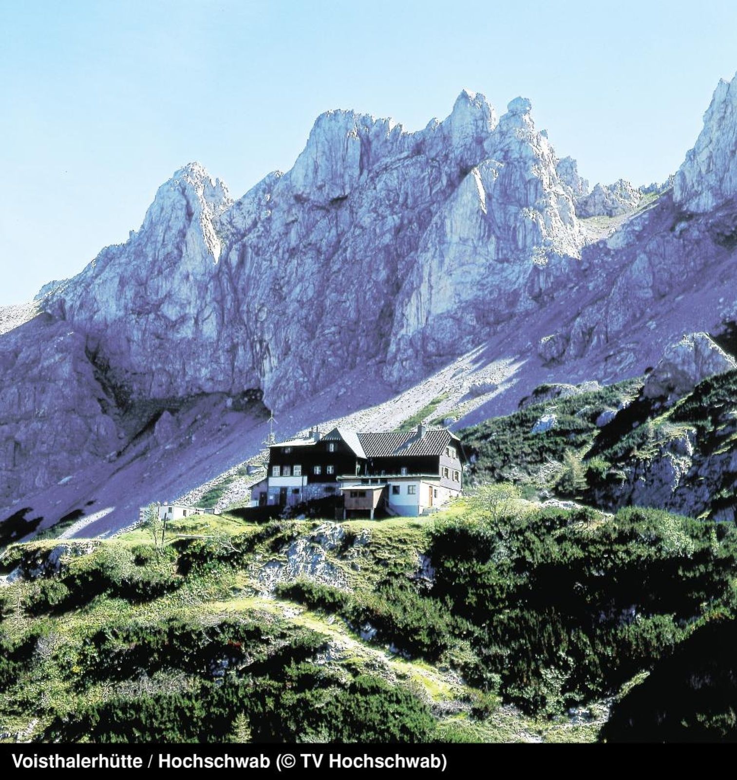
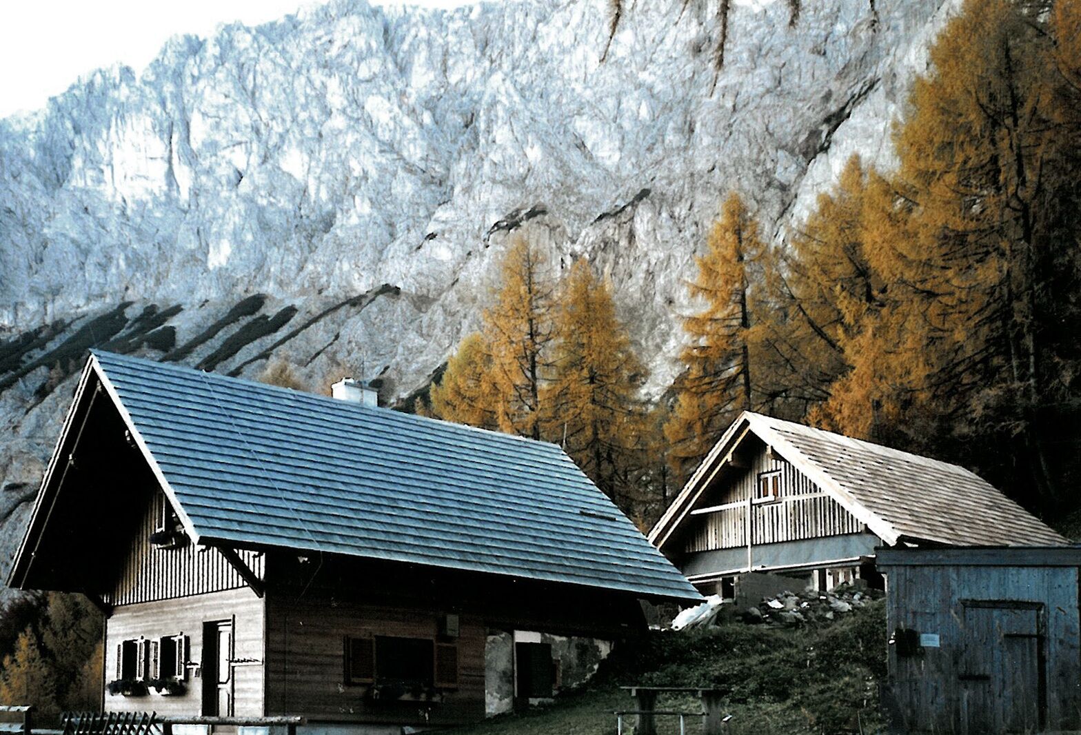
Kutscherwirt Hotel-Restaurant0,5 kmGasthof Pension „Vorauerhof“0,7 kmVorau0,9 kmFilialkirche Marktkirche hl. Ägydius0,9 kmWeißenbach4,9 kmMönichwald7,8 kmPfarrkirche hll. Peter und Paul7,8 kmSeegasthof Breineder8,0 kmUnter der Alm12,0 kmGemeindkreuz14,9 kmKaltwiesen Hütte15,8 kmGroße Steinwand (1.648 m)19,2 kmHochwechsel (1.743 m)20,0 kmWetterkoglerhaus20,3 kmDreiländereck24,0 kmHarterkogel (1.523 m)30,8 kmKleiner Pfaff (1.539 m)32,4 kmGrabmayr-Kogel (1.495 m)32,6 kmPfaffensattel (1.372 m)33,4 kmAlois-Günther-Haus36,1 kmStuhleck (1.782 m)36,1 kmGrazer Stuhleck (1.635 m)39,0 kmGeiereck (1.644 m)40,1 kmPretul (1.656 m)40,8 kmRoseggerhaus41,4 kmGanzalm44,8 kmNaturfreundehaus Ganzalm44,9 kmLendl52,2 kmMürzzuschlag54,0 kmStadtpfarrkirche54,1 kmPernreit55,2 kmScheibenhütte59,6 kmGroße Scheibe (1.473 m)59,6 kmSieben Fichten60,1 kmSitzbichl (1.212 m)66,0 kmEdelweisshütte67,3 kmGamsklo69,6 kmKarl-Ludwig-Haus70,0 kmTörl (1.768 m)70,2 kmSchneegrubensattel (1.935 m)71,2 kmHeukuppe (2.007 m)71,7 kmGupfsattel74,3 kmRechter Gamseckfall74,8 kmLinker Gamseckfall74,9 kmKleine Nass (1.209 m)76,0 kmLurgbauerhütte79,0 kmNölltal80,2 kmLangseiten80,6 kmSchauerkogel (1.788 m)82,7 kmSchneealpenhaus82,7 kmMichlbauerhütte83,5 kmHoher Klapf (1.865 m)84,0 kmWindberg (1.903 m)84,3 kmGläserkogel (1.746 m)86,7 kmDurchfall-Wasserhöhle90,9 kmHinteralmhaus93,6 kmBei den Schneeschnecken94,7 kmRosswiese95,3 kmFreinerhof97,7 kmFrein an der Mürz97,7 kmSchöneben105,8 kmHerrenboden (1.402 m)108,9 kmRitzzeichenschacht109,1 kmBerggasthof Plodererhof113,1 kmHohe Veitsch (1.981 m)119,4 kmGraf Meran Haus120,0 kmTeufelssteig120,5 kmRotsohlalm122,4 kmGöriacher Alm129,6 kmStrobl-Hütte129,6 kmSeebergalm132,5 kmSeebergsattel (1.246 m)134,2 kmSeewiesen135,7 kmKatholische Pfarrkirche St. Leonhard Seewiesen135,8 kmFlorlhütte (1.284 m)141,3 kmHöllkampl (1.449 m)142,3 kmVoisthalergasse143,6 kmObere Dullwitz144,7 kmHochschwab (2.277 m)148,6 kmKleiner Hochschwab (2.248 m)148,9 kmRingkarwand (2.041 m)154,0 kmBrandlmauer (2.020 m)155,6 kmRotlacken156,1 kmGraualm (1.502 m)161,4 kmHalterhütte161,5 kmKastenriegel164,0 kmPretal170,4 kmBrunngrabenquellen173,6 kmSalzahammer175,5 kmGußwerk176,5 kmBohrwerk177,6 kmRasing179,6 kmMariazell181,0 kmHeiliger Brunn-Kapelle181,6 km
- Bästa säsongen
-
janfebmaraprmajjunjulaugsepoktnovdec
- Högsta punkt
- 2.257 m
- Destination
-
Mariazell
- Höjdprofil
-

- Författare
-
Turnén From Hochwechsel to Hochschwab används av outdooractive.com förutsatt.


Allmän information
-
Hochsteiermark
4082
-
Naturpark Mürzer Oberland
1936
-
Neuberg an der Mürz
433