© Steiermark Tourismus/Harry Schiffer - Simon Sackl

© Steiermark Tourismus/Sommerauer - Simon Sackl

© Steiermark Tourismus/Harry Schiffer - Simon Sackl

© Oststeiermark Tourismus - Steininger

© (c) Martina Steininger - Martina Steininger

© (c) Martina Steininger - Martina Steininger

© (c) Martina Steininger

© Oststeiermark Tourismus - die Mosbachers

© Oststeiermark Tourismus - die Mosbachers

- Kort beskrivning
-
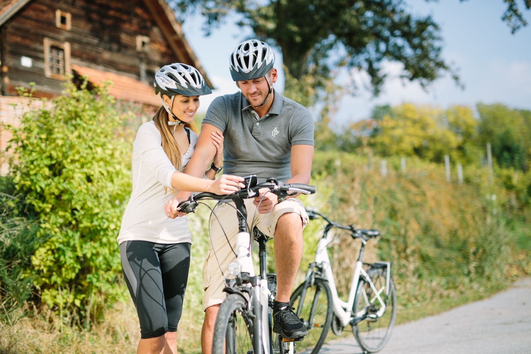
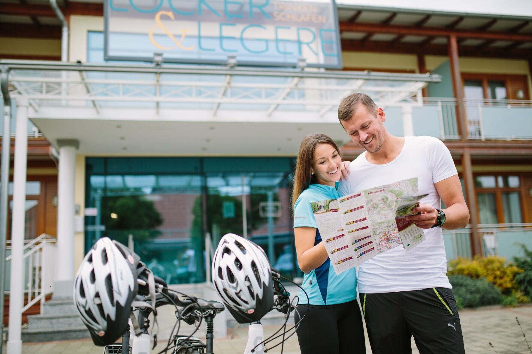
A varied circular tour with sections of path through shady mixed forests and the largest apple-growing area in Europe, along the East Styrian Roman Wine Route and through the town of Gleisdorf. In and around St. Ruprecht an der Raab - located in the heart of the Raab Valley in Eastern Styria and not far from Graz - there are numerous cycling and hiking tours that take us into and through the Garden of Austria, as Eastern Styria is also affectionately called.
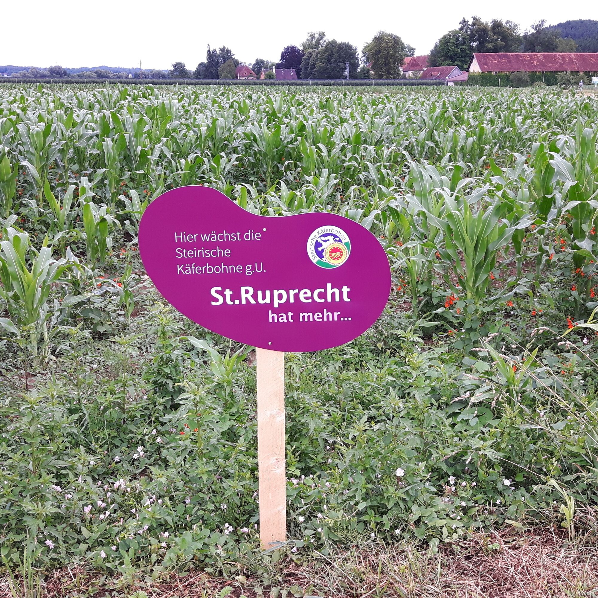
The beetle bean fields are marked with their own signs!
- Svårighet
-
tung
- Utvärdering
-
- Väg
-
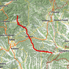
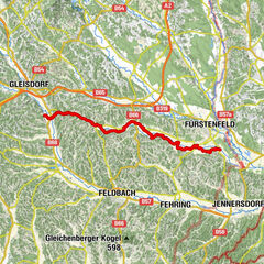
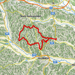
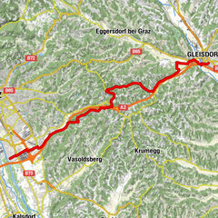
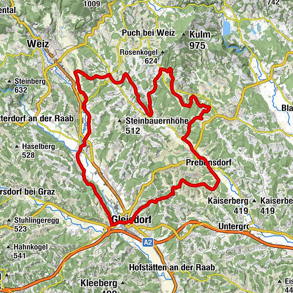
Sankt Ruprecht an der RaabMariensäule0,0 kmFriedensgrotte0,0 kmPfarrkirche hl. Ruprecht0,0 kmNeudorf bei Sankt Ruprecht an der Raab2,4 kmGasthaus Heinzl3,2 kmUnterfladnitz3,6 kmFarcha4,3 kmRegerstätten6,2 kmWaltendorf7,4 kmPichl8,3 kmEtzersdorf9,7 kmBuschenschank Leiner9,7 kmPircha11,8 kmWohngraben12,6 kmHartenstein14,2 kmLichtenegg17,1 kmElz19,0 kmTeufenbach20,3 kmReichendorf22,1 kmWolfegg24,0 kmGottesgraben25,4 kmHart27,5 kmKaasbachgraben28,1 kmNeudorf29,7 kmGroßpesendorf31,0 kmPrebensdorf32,7 kmBuschenschank Sax33,1 kmNitschaberg34,9 kmLanzlkapelle38,2 kmNitscha38,5 kmKirchweg39,6 kmStadtpfarrkirche hl. Laurentius43,2 kmGleisdorf43,2 kmLudersdorf44,9 kmAltenberg46,3 kmWinterdorf49,0 kmSankt Ruprecht an der Raab51,3 kmMariensäule51,4 kmFriedensgrotte51,4 km
- Bästa säsongen
-
janfebmaraprmajjunjulaugsepoktnovdec
- Högsta punkt
- 490 m
- Destination
-
St. Ruprecht - Main Square
- Höjdprofil
-


-

-
FörfattareTurnén Beetle Bean Tour to the Roman Wine Route används av outdooractive.com förutsatt.
GPS Downloads


Allmän information
Förfriskningsstopp
Kulturell/Historisk
Flora
Fauna
Lovande
Fler turer i regionerna