© Skiinfo & Bergleben

- Kort beskrivning
-
An extended, but through the numerous stations comfortable hike to the highest peak on the eastern edge of the Alps, the Stuhleck. The panoramic view extends from the summit as well as on parts of the ascent from Hochschwab over the Gesäuse, the Rax massif to the Pannonian lowlands with the offshore eastern Styria.
- Svårighet
-
tung
- Utvärdering
-
- Väg
-
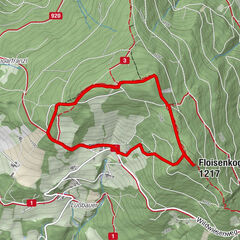
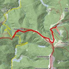
RetteneggSticklberg0,6 kmStuhleck (1.782 m)6,8 kmRennbauerhöhe (1.369 m)10,7 kmForellengasthof Joglland15,1 kmRettenegg15,9 km
- Bästa säsongen
-
janfebmaraprmajjunjulaugsepoktnovdec
- Högsta punkt
- 1.769 m
- Destination
-
Stuhleck / Alois Günther House
- Höjdprofil
-


-

-
FörfattareTurnén In the footsteps of Peter Rosegger - On the Planet Trail används av outdooractive.com förutsatt.
GPS Downloads


Allmän information
Förfriskningsstopp
Kulturell/Historisk
Flora
Fauna
Lovande
Fler turer i regionerna
-
Hochsteiermark
4066
-
Waldheimat
2182
-
Rettenegg
452