© TV Gesäuse - Tourismusverband Gesäuse

© TV Gesäuse - Tourismusverband Gesäuse

© TV Gesäuse - Tourismusverband Gesäuse

© TV Gesäuse - Tourismusverband Gesäuse

© TV Gesäuse - Tourismusverband Gesäuse

© TV Gesäuse - Tourismusverband Gesäuse

© TV Gesäuse - Tourismusverband Gesäuse

© TV Gesäuse - Tourismusverband Gesäuse

© TV Gesäuse - Tourismusverband Gesäuse

© TV Gesäuse - Tourismusverband Gesäuse


- Kort beskrivning
-
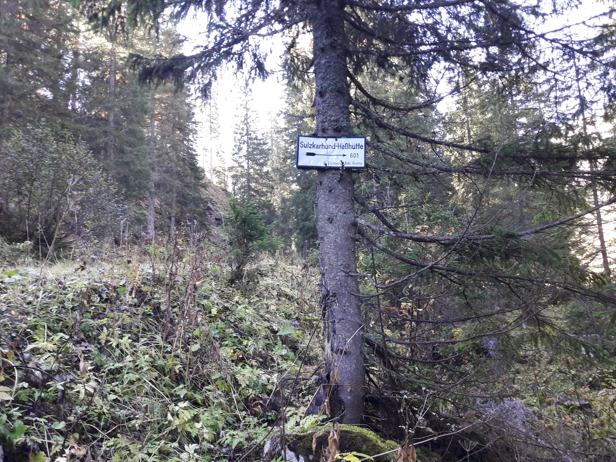
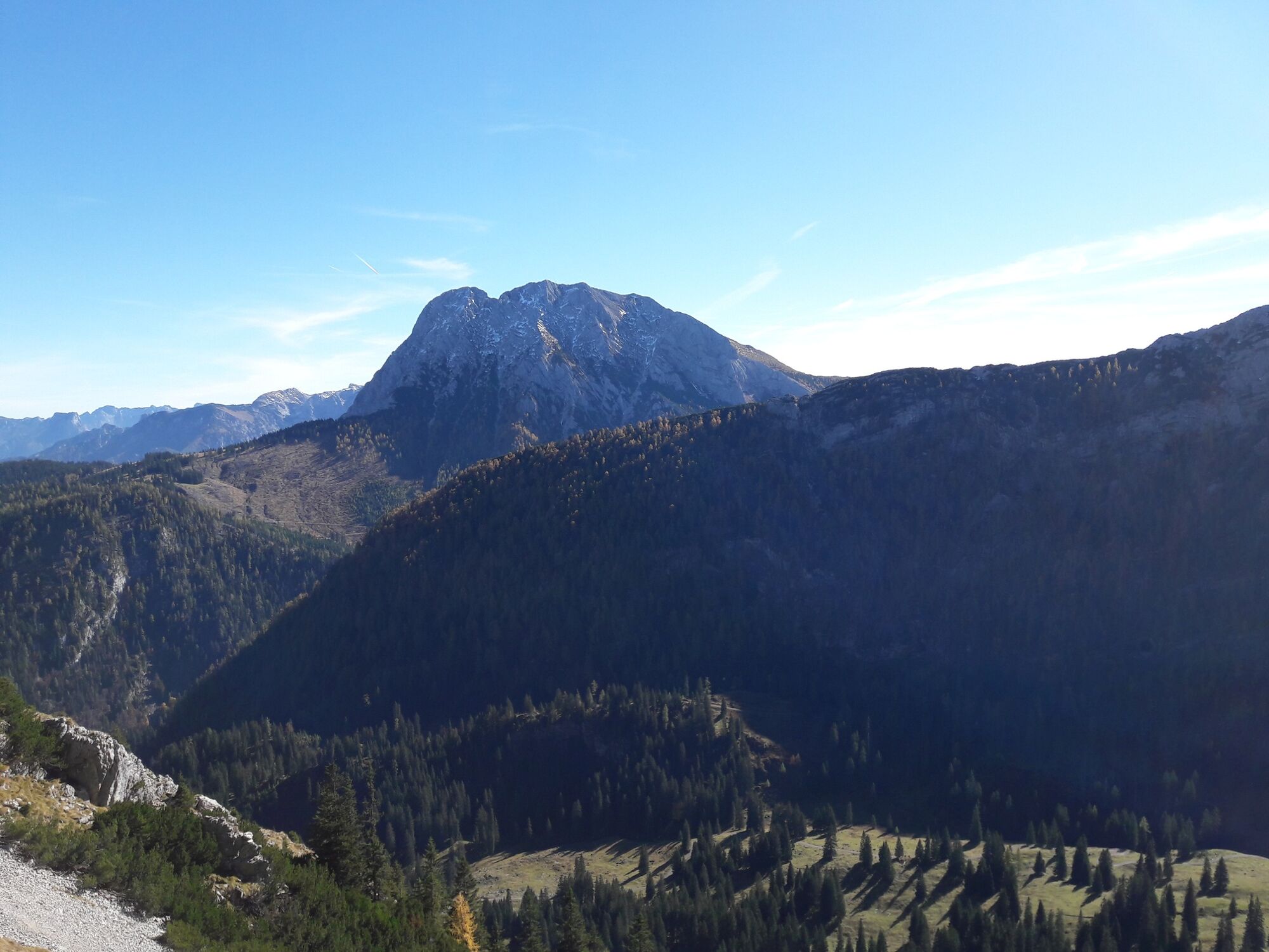
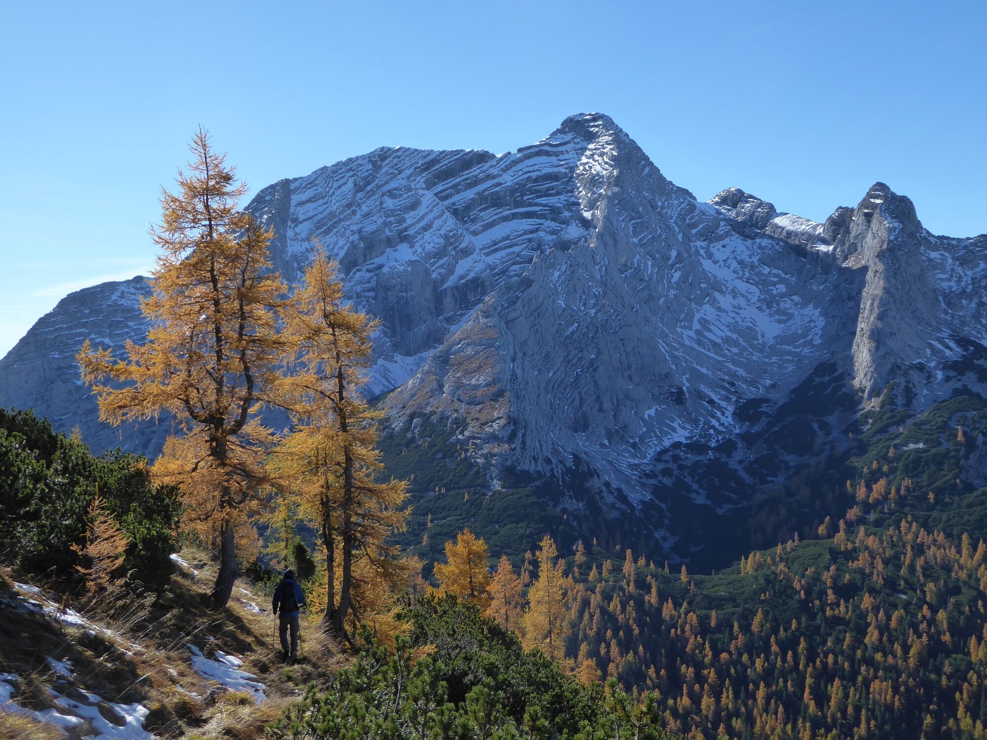
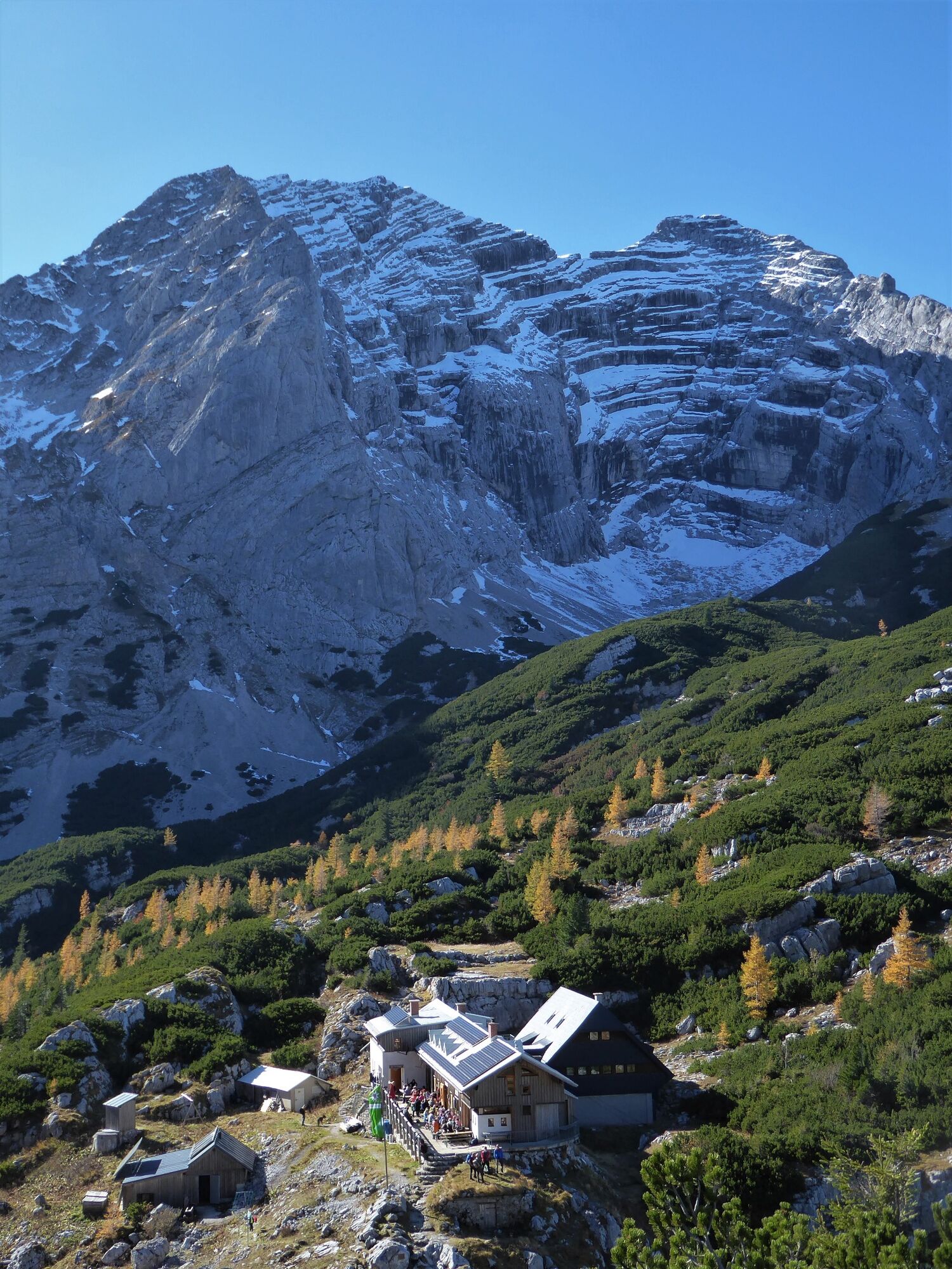
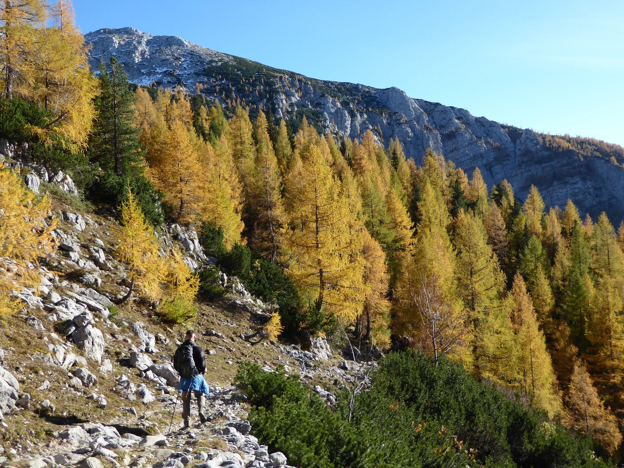
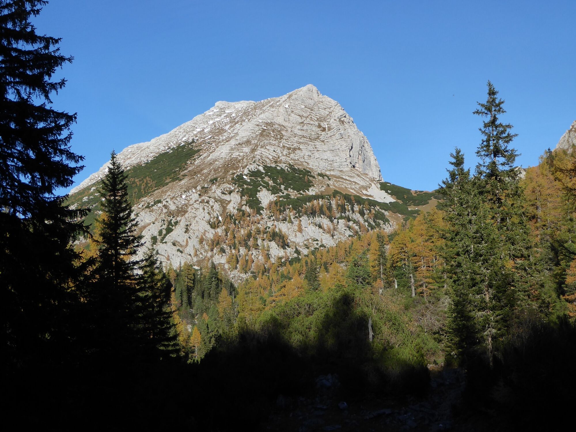
The Zinödl crossing truly offers a complete mountain hiking experience. The great view and the variety of the trail are only topped by a visit to the Heßhütte. And if that's not enough, the crossing to Johnsbach saves you about 300 meters of altitude difference in the descent.
- Svårighet
-
tung
- Utvärdering
-
- Väg
-
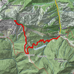
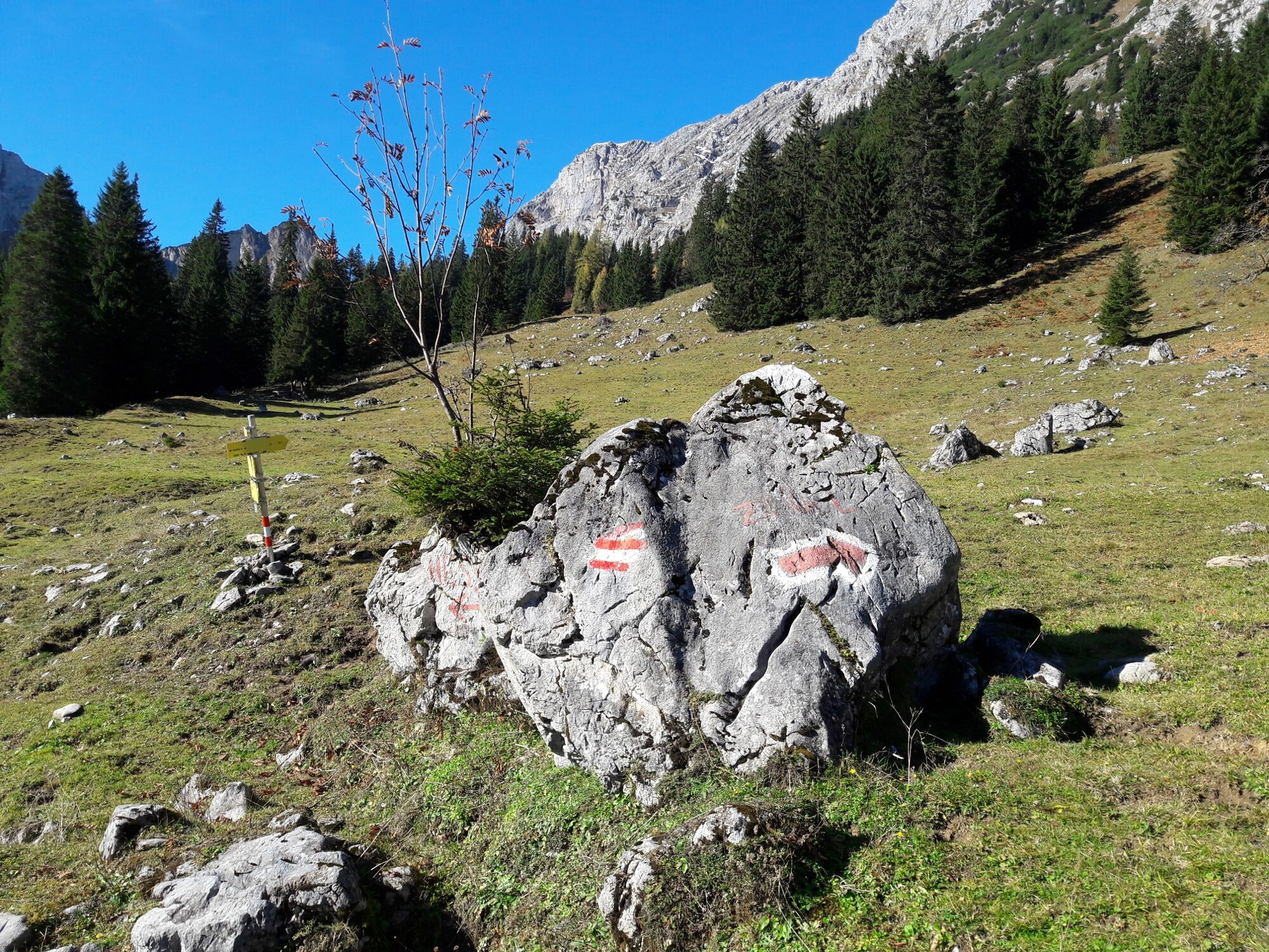
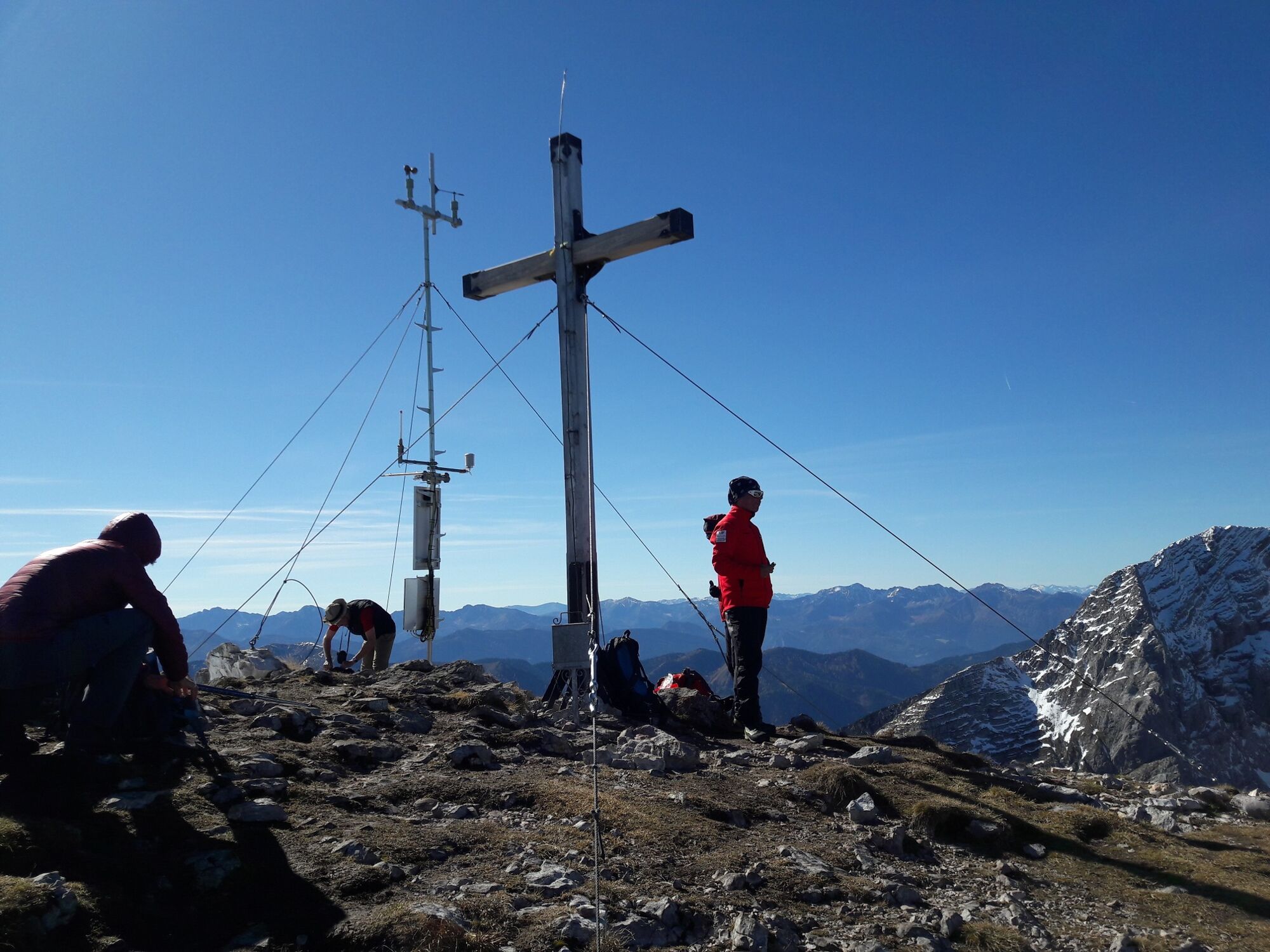
Hochzinödl (2.191 m)7,6 kmGass8,7 kmGamsbrunnen11,5 kmWolfbauer Wasserfall15,4 kmKölblwirt17,0 km
- Bästa säsongen
-
janfebmaraprmajjunjulaugsepoktnovdec
- Högsta punkt
- 2.182 m
- Destination
-
Gasthaus Kölblwirt
- Höjdprofil
-


-

-
FörfattareTurnén Through the Hartelsgraben into Sulzkar and on to Zinödl används av outdooractive.com förutsatt.
GPS Downloads


Allmän information
Förfriskningsstopp
Kulturell/Historisk
Lovande