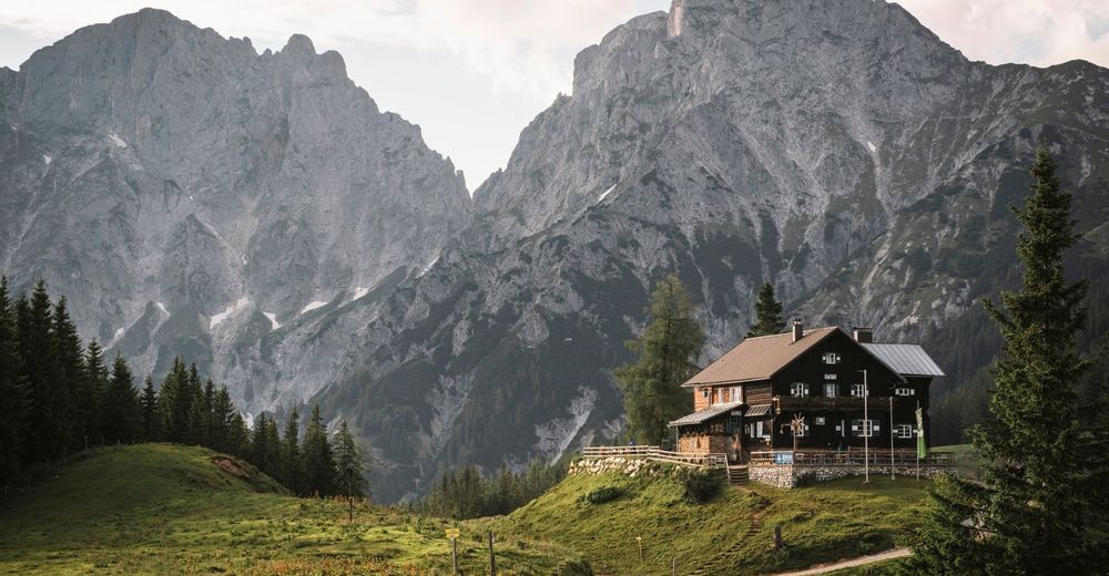
© Gesäuse - Admont
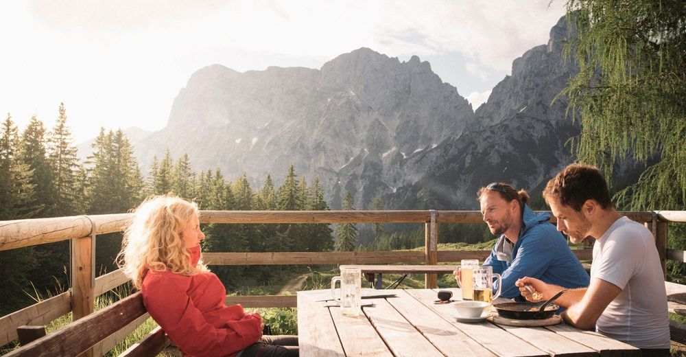
© Gesäuse - Admont - Dietmar Cupak

© Gesäuse - Admont

© Tourismusverband Gesäuse

- Kort beskrivning
-
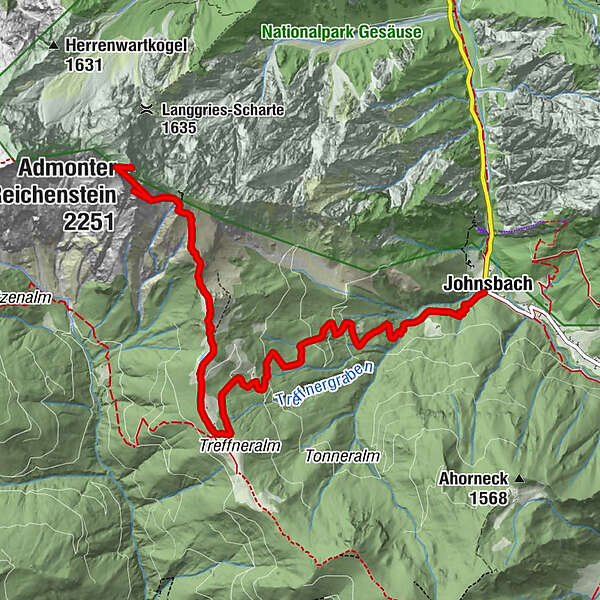
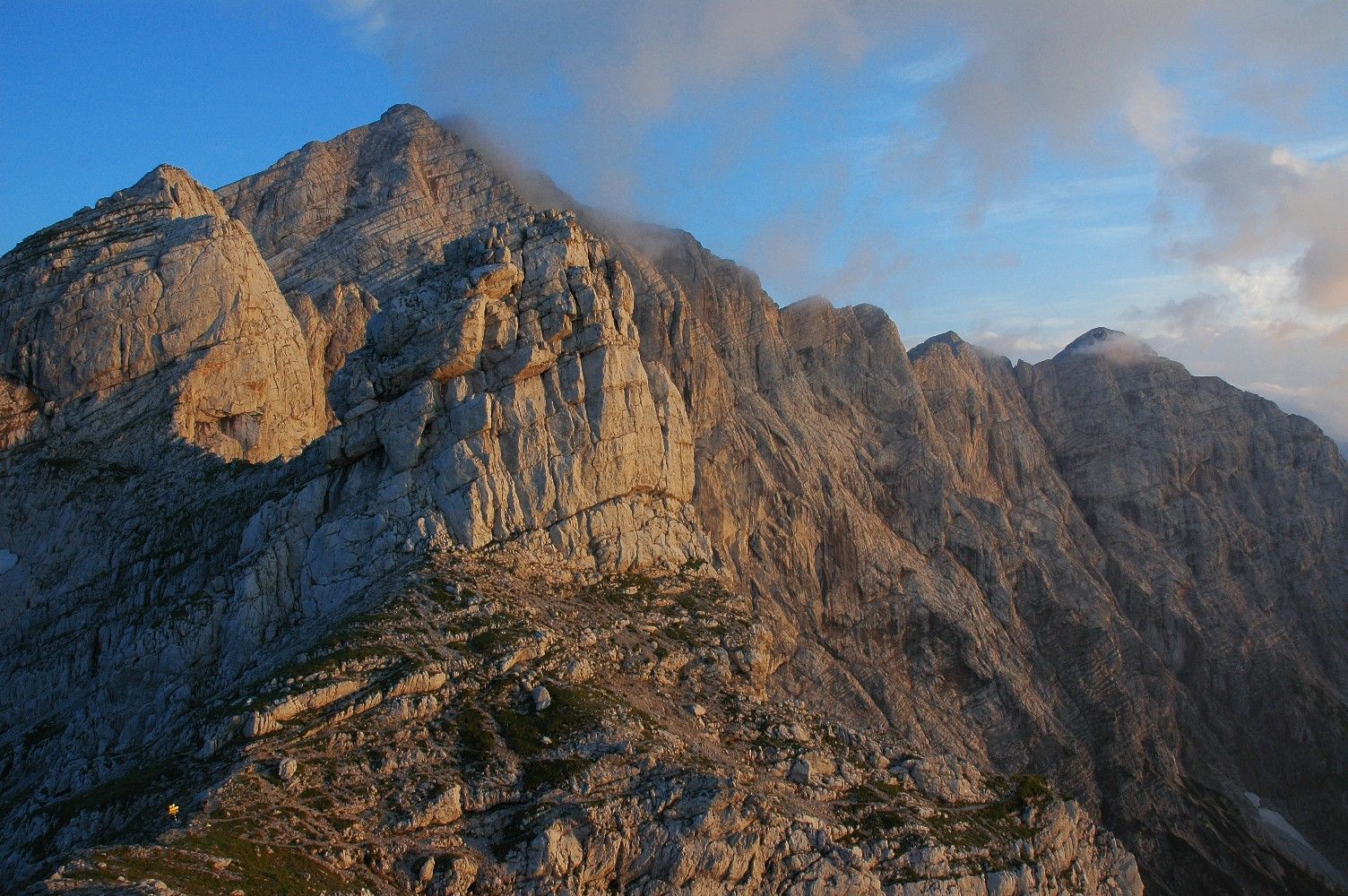
Demanding mountain tour with easy climbing (II), only for the absolutely sure-footed! According to the trail sign, the ascent is described as a via ferrata without belays. RECOMMENDATION: This tour should be done with a mountain guide!
- Svårighet
-
tung
- Utvärdering
-
- Väg
-
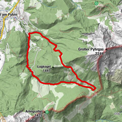
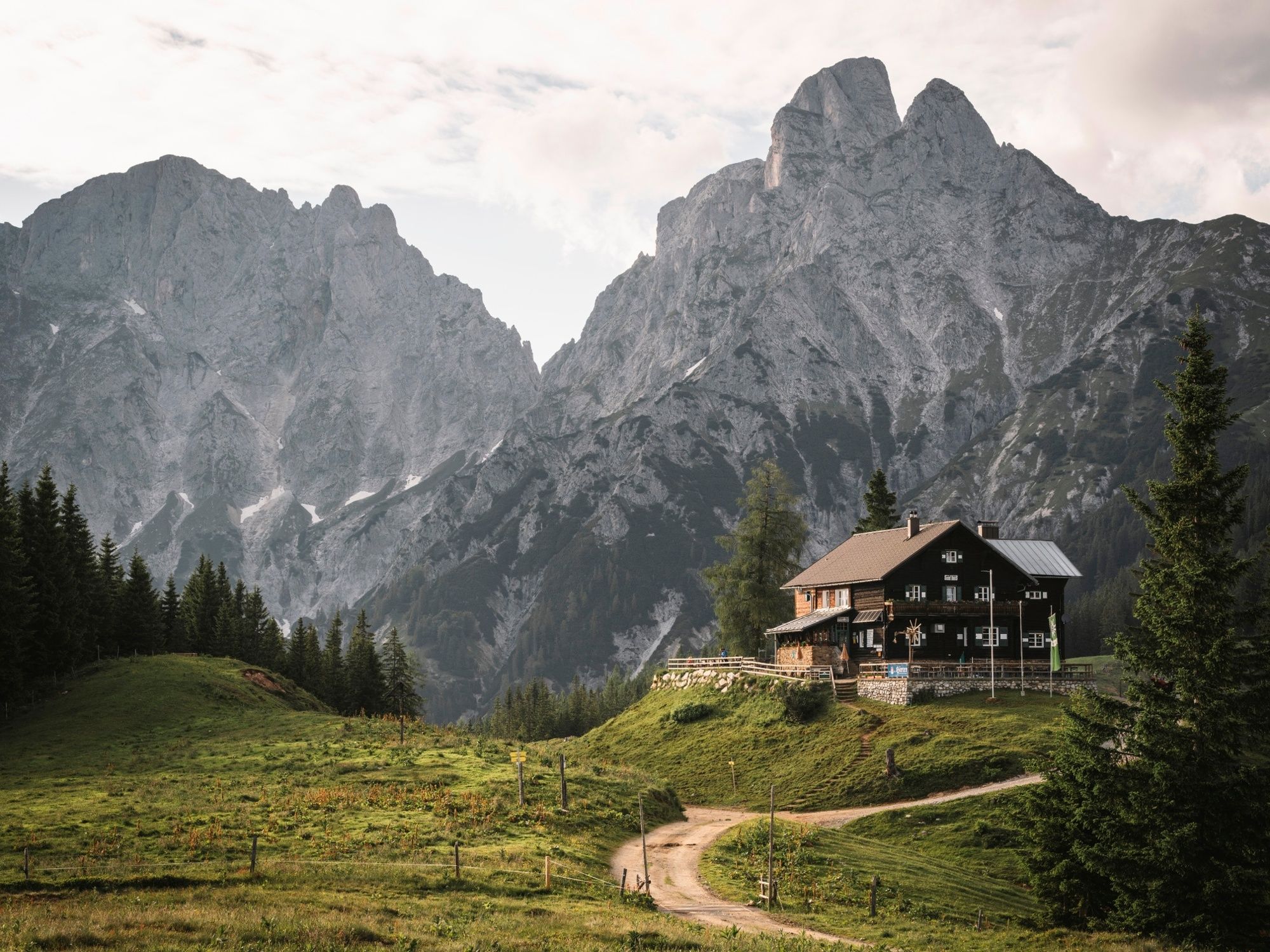
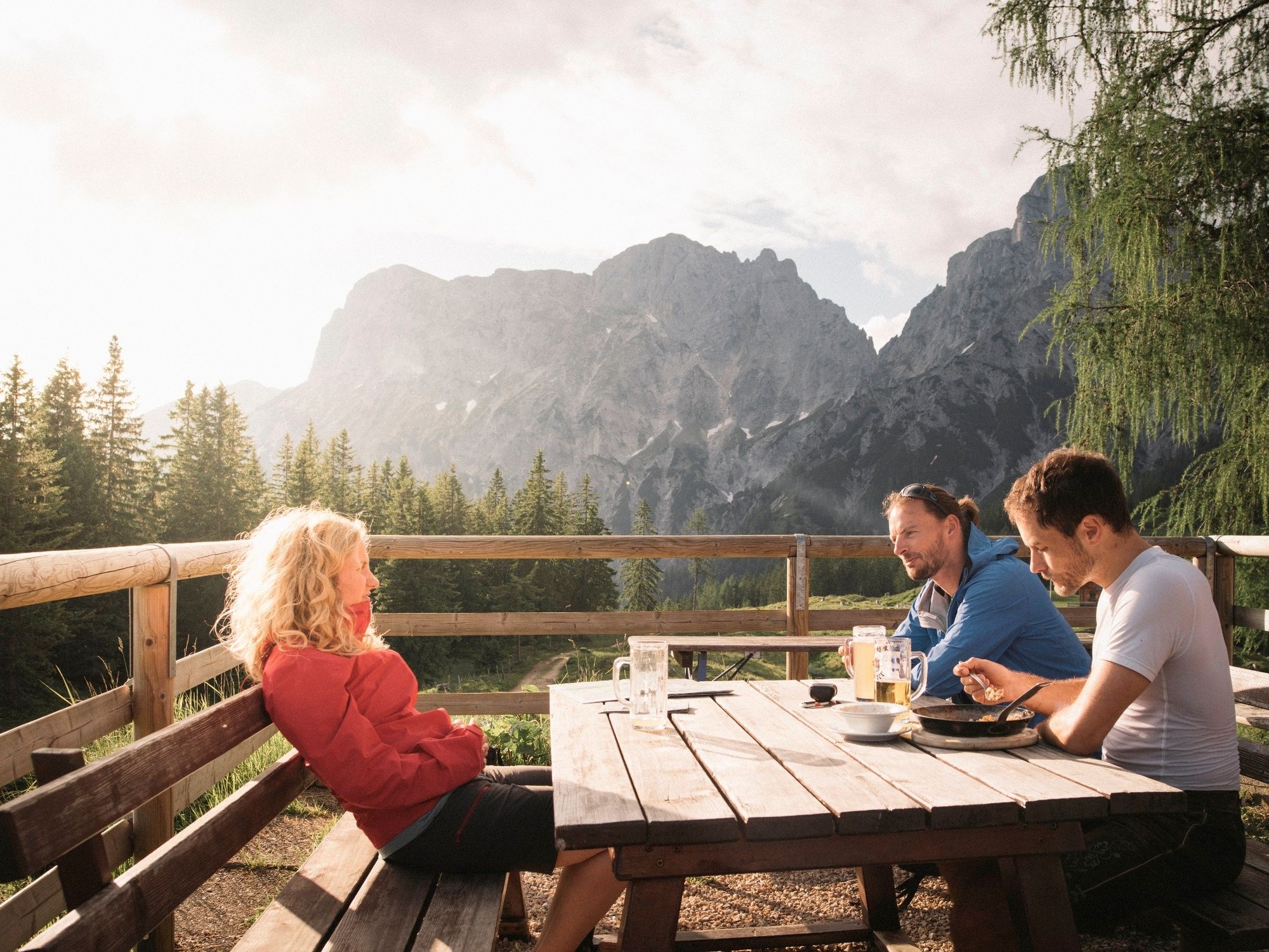
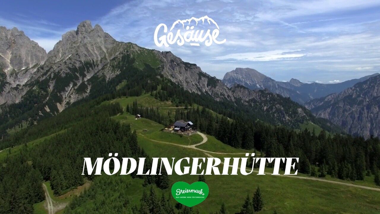
Gasthof DonnerJohnsbach (853 m)Mödlinger Hütte4,4 kmTotenköpfl (2.184 m)7,4 km
- Bästa säsongen
-
janfebmaraprmajjunjulaugsepoktnovdec
- Högsta punkt
- 2.233 m
- Destination
-
Admonter Reichenstein
- Höjdprofil
-

- Författare
-
Turnén Admonter Reichenstein används av outdooractive.com förutsatt.
GPS Downloads


Fler turer i regionerna
-
Gesäuse
2223
-
Urlaubsregion Pyhrn - Priel
1440
-
Gaishorn am See
304