

© Erlebnisregion Schladming-Dachstein - Schladming Dachstein

© Erlebnisregion Schladming-Dachstein - Schladming Dachstein

© Erlebnisregion Schladming-Dachstein - Schladming Dachstein

© Erlebnisregion Schladming-Dachstein - Schladming Dachstein
- Kort beskrivning
-
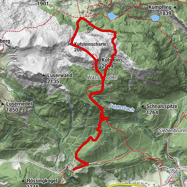
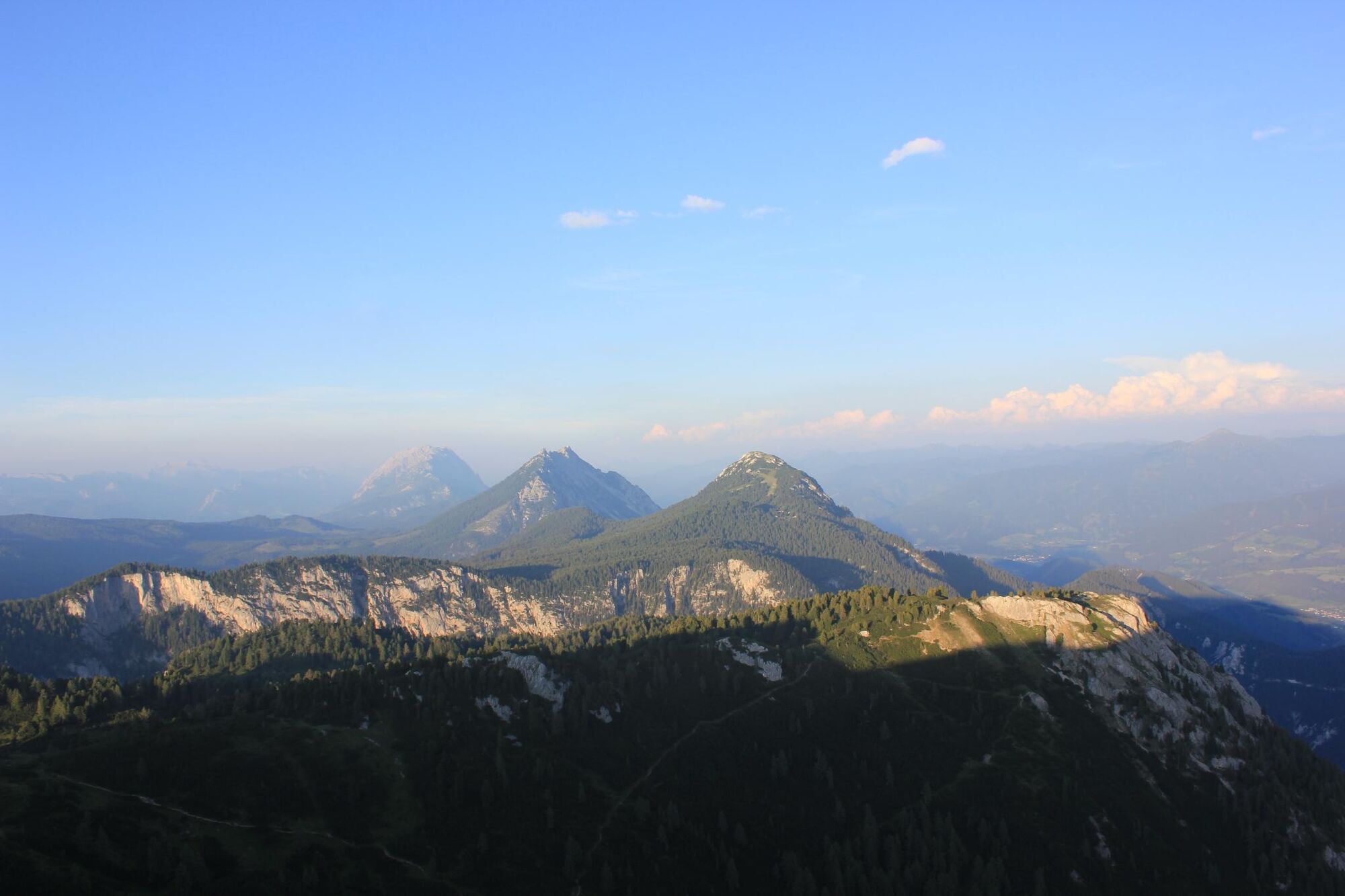
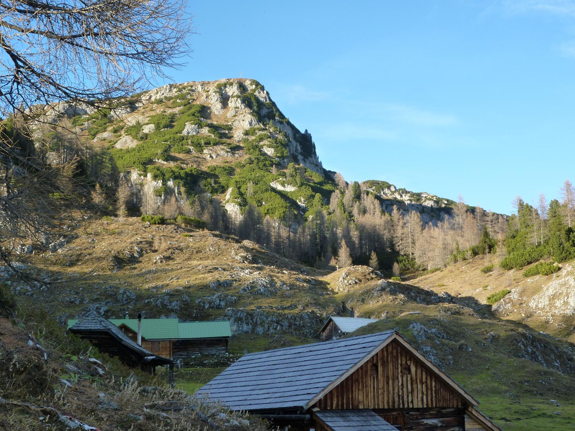
Across the Stornalm to the top of the magnificent, scenic Kufstein, a true delight for well-conditioned mountain hikers – as is the hiking loop over the Grafenbergalm, a delightful route teeming with flowers!
- Svårighet
-
tung
- Utvärdering
-
- Väg
-
Stornalm4,3 kmWasserbode4,6 kmKufstein (2.049 m)5,3 kmKufsteinscharte (2.004 m)6,1 kmGrafenbergalm6,9 kmWasserbode9,6 kmStornalm9,9 km
- Bästa säsongen
-
janfebmaraprmajjunjulaugsepoktnovdec
- Högsta punkt
- 2.022 m
- Destination
-
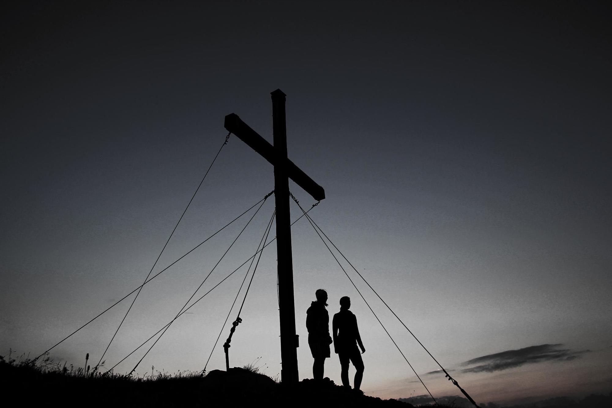
Kufstein summit
- Höjdprofil
-

-

-
FörfattareTurnén The Kufstein Summit Tour - high above the land "Am Stein" används av outdooractive.com förutsatt.
GPS Downloads


Allmän information
Förfriskningsstopp
Flora
Fauna
Lovande
Fler turer i regionerna
-
Schladming - Dachstein
2999
-
Haus - Aich
1364
-
Haus im Ennstal
367


