© Erlebnisregion Schladming-Dachstein - Karina Weichbold


© Erlebnisregion Schladming-Dachstein - Karina Weichbold

© Erlebnisregion Schladming-Dachstein - Karina Weichbold

© Erlebnisregion Schladming-Dachstein - Karina Weichbold

© Erlebnisregion Schladming-Dachstein - Karina Weichbold

© Erlebnisregion Schladming-Dachstein - Karina Weichbold

© Erlebnisregion Schladming-Dachstein - Karina Weichbold

© Erlebnisregion Schladming-Dachstein - Karina Weichbold

© Erlebnisregion Schladming-Dachstein - Karina Weichbold
- Kort beskrivning
-
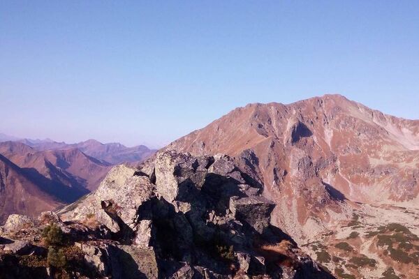
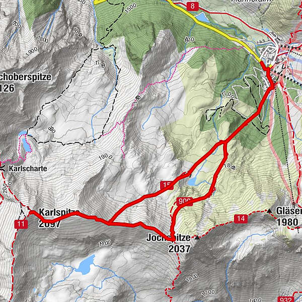
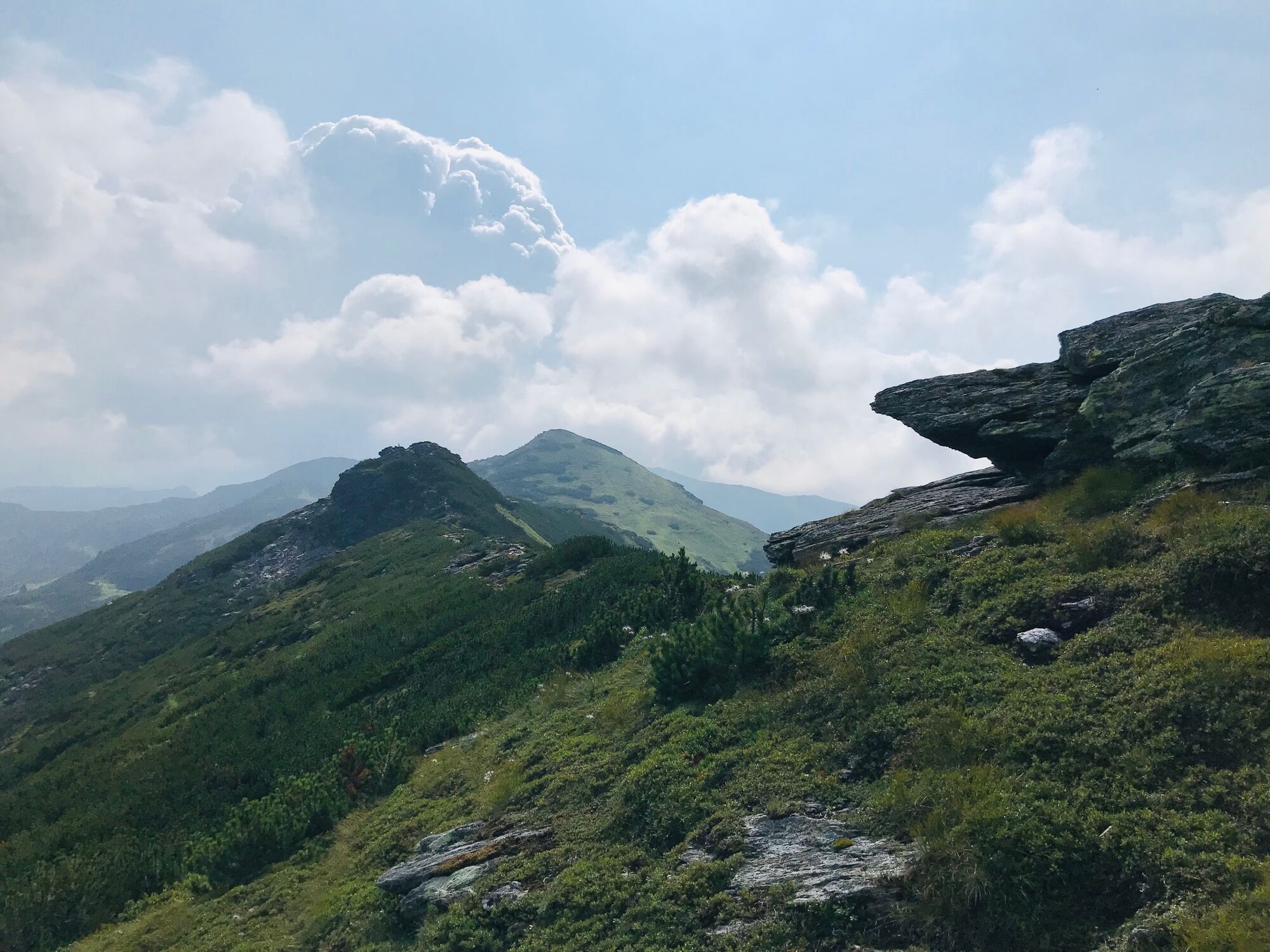
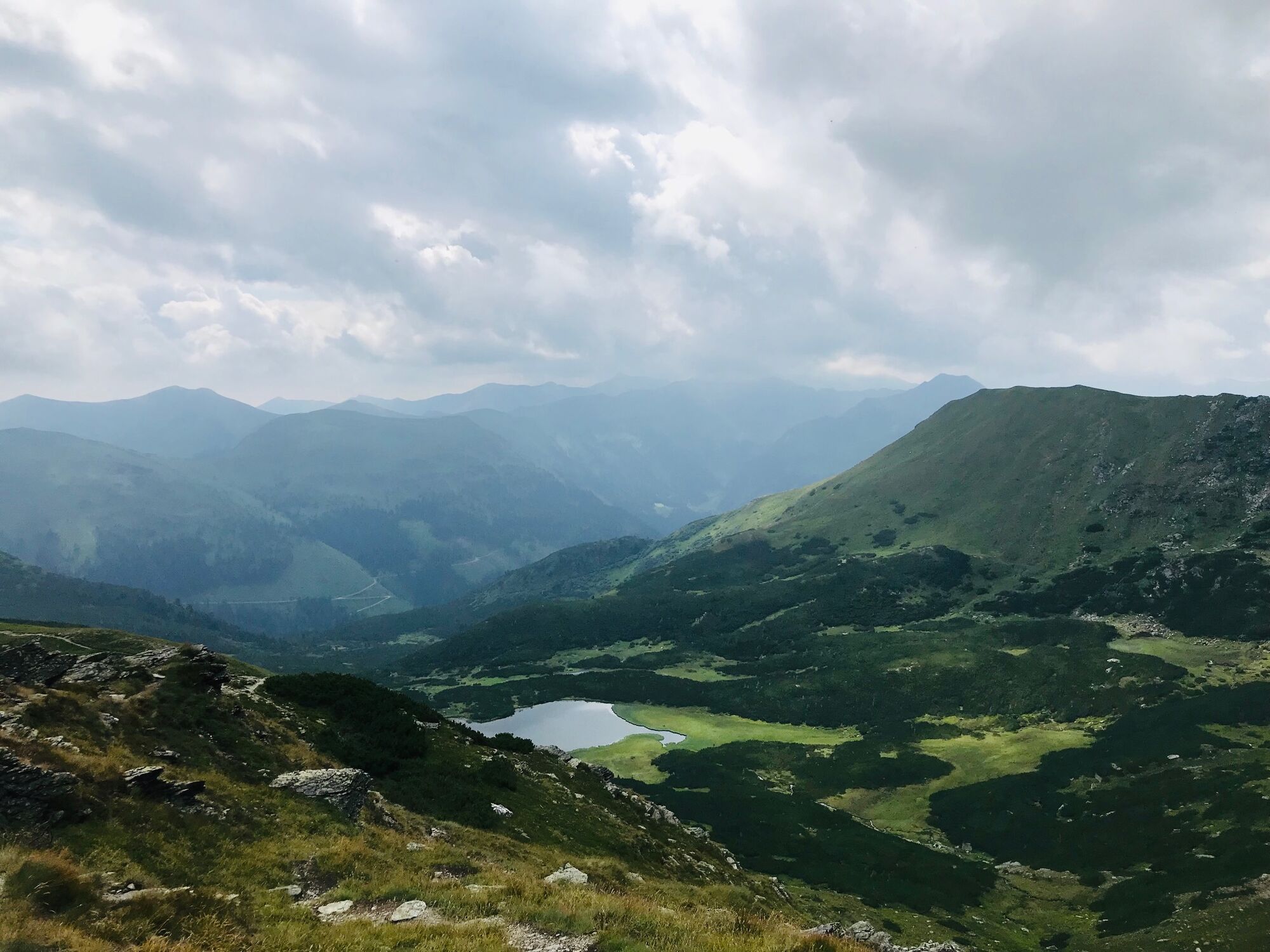
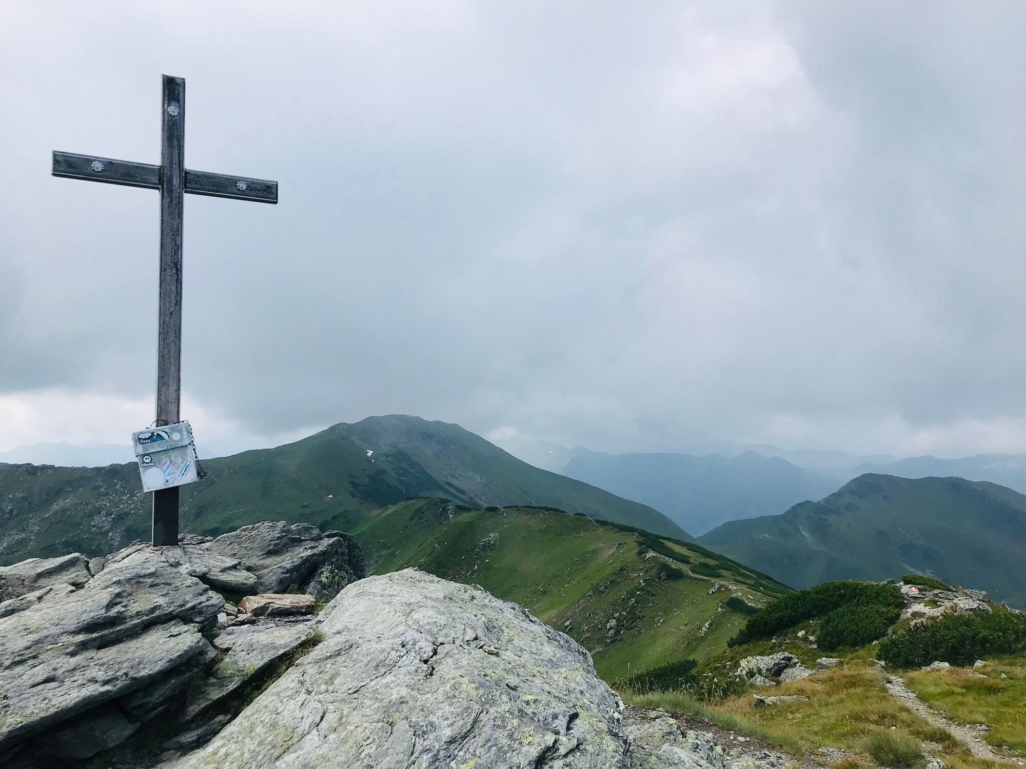
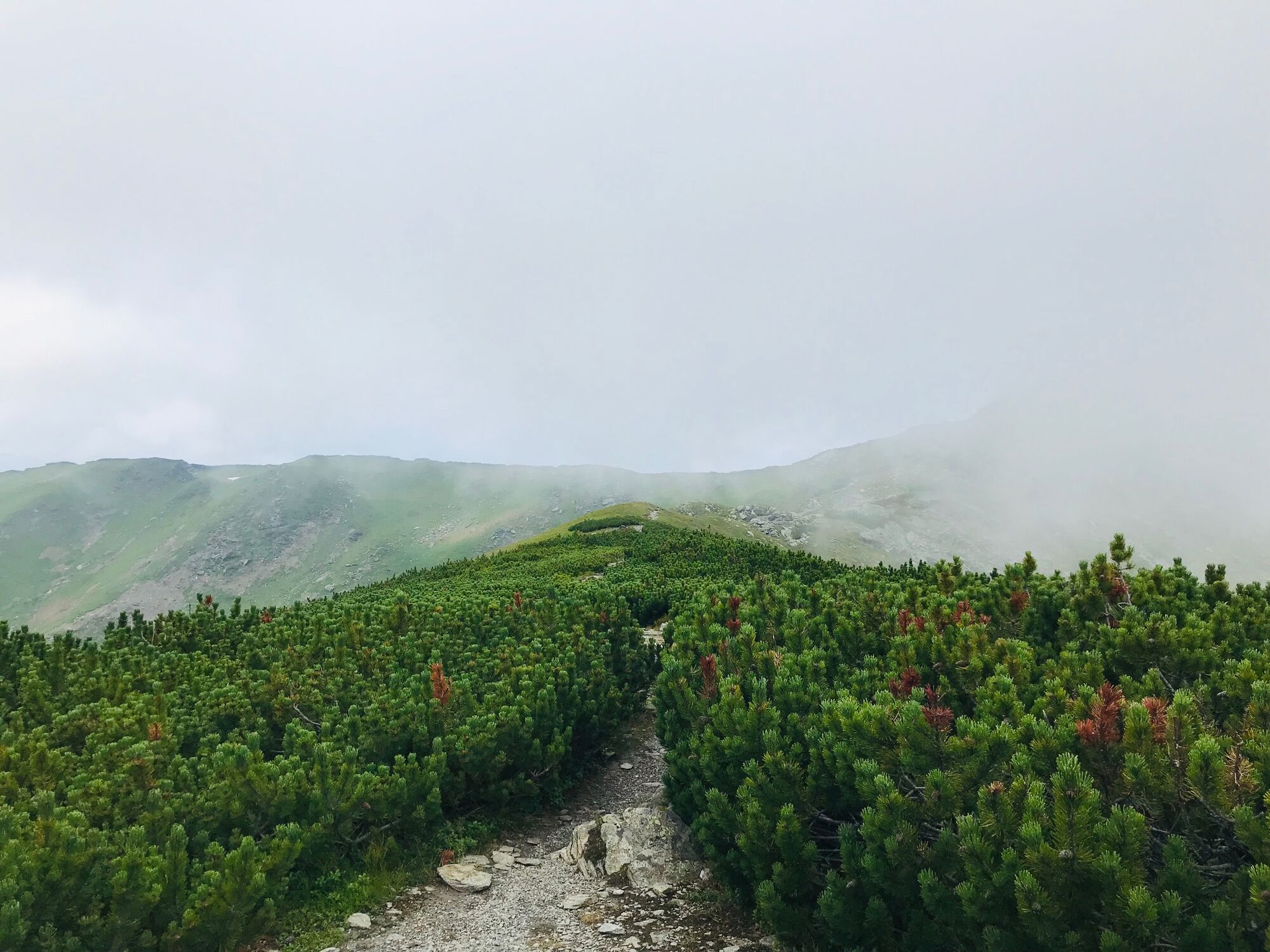
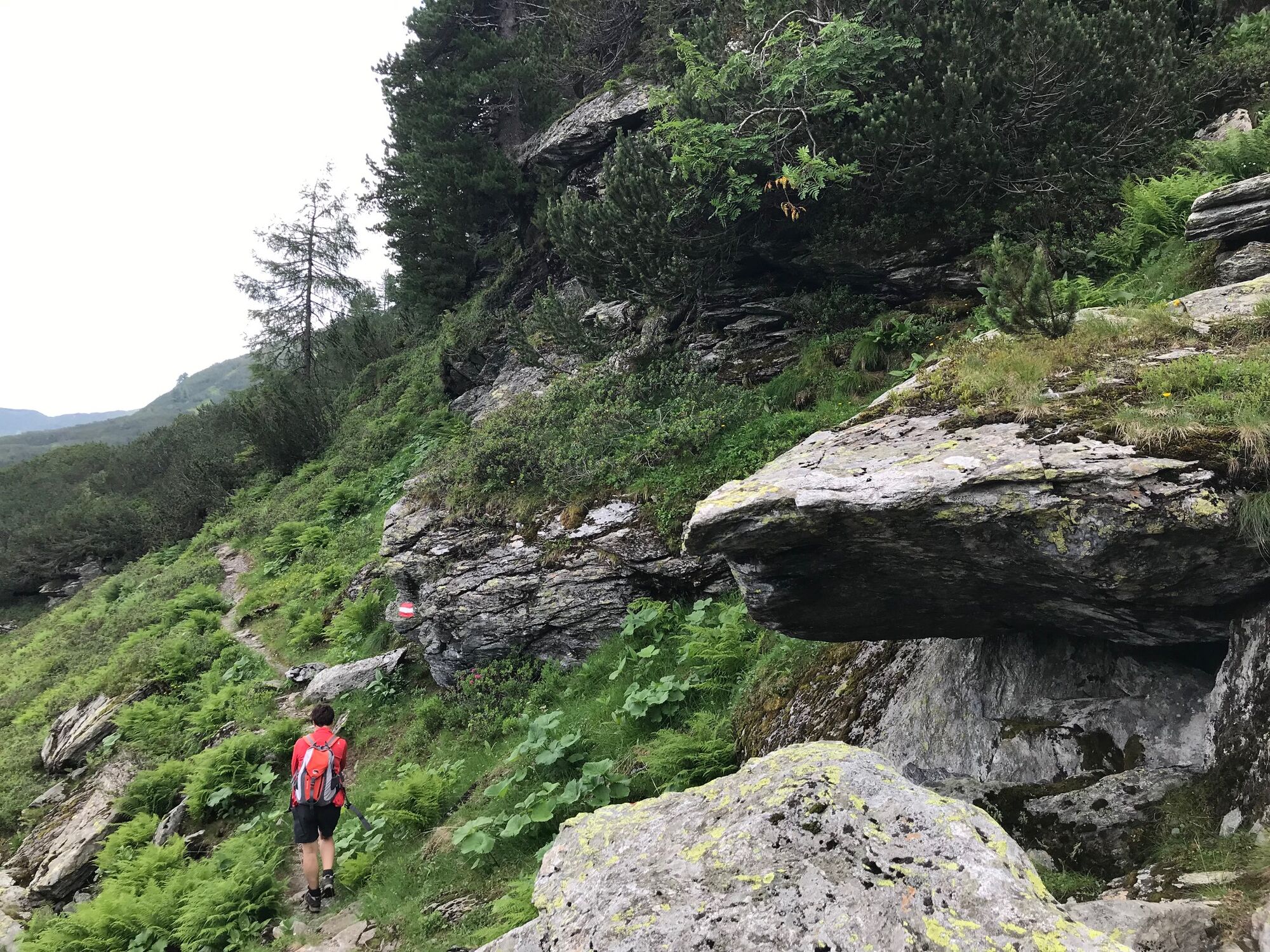
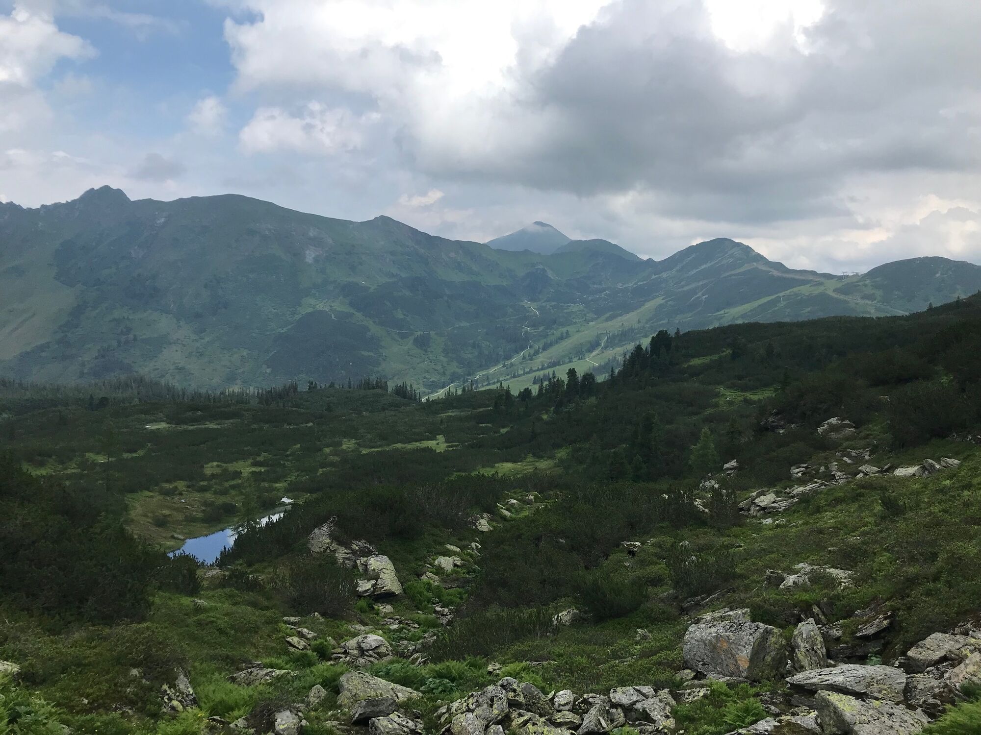
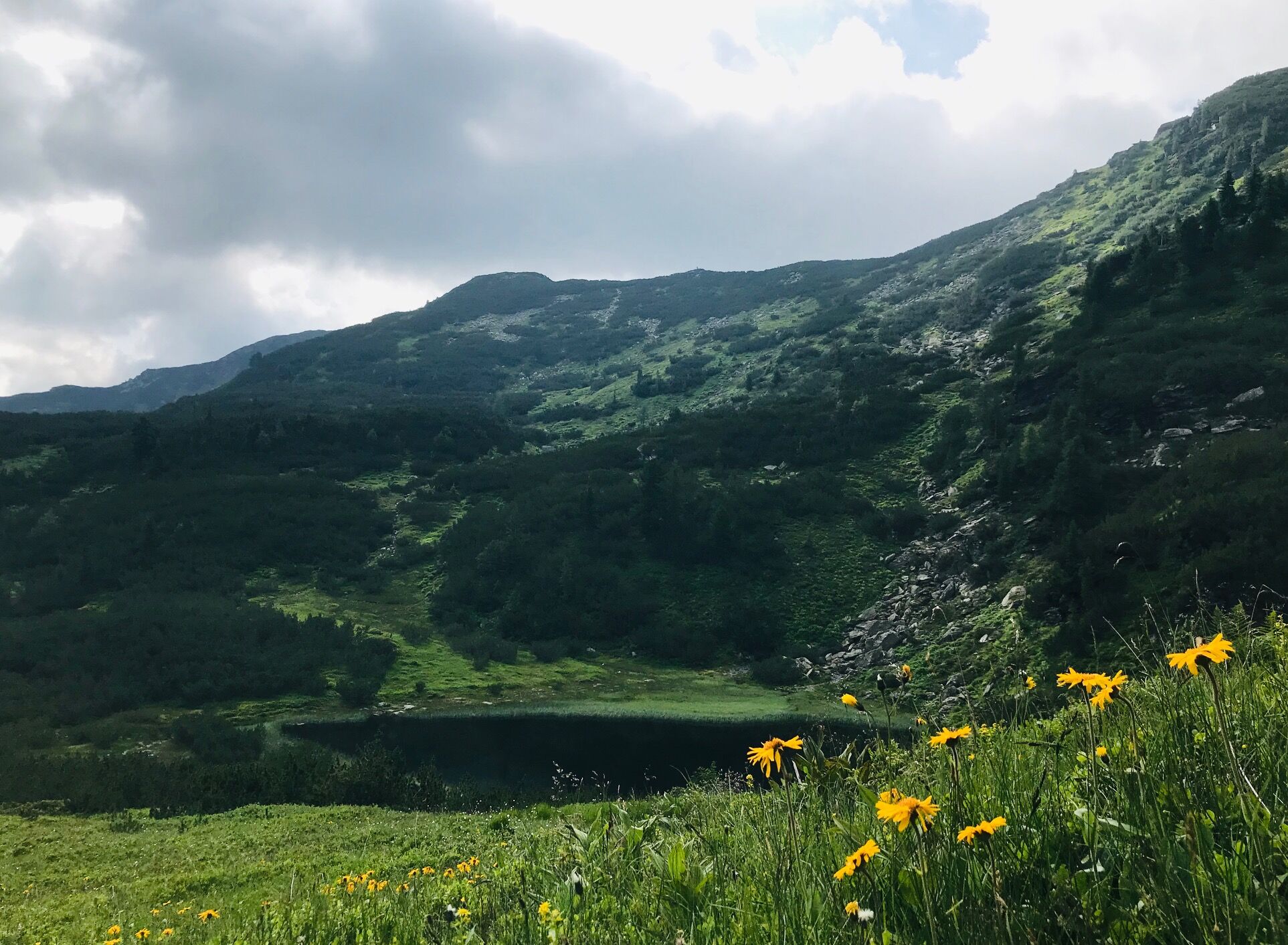
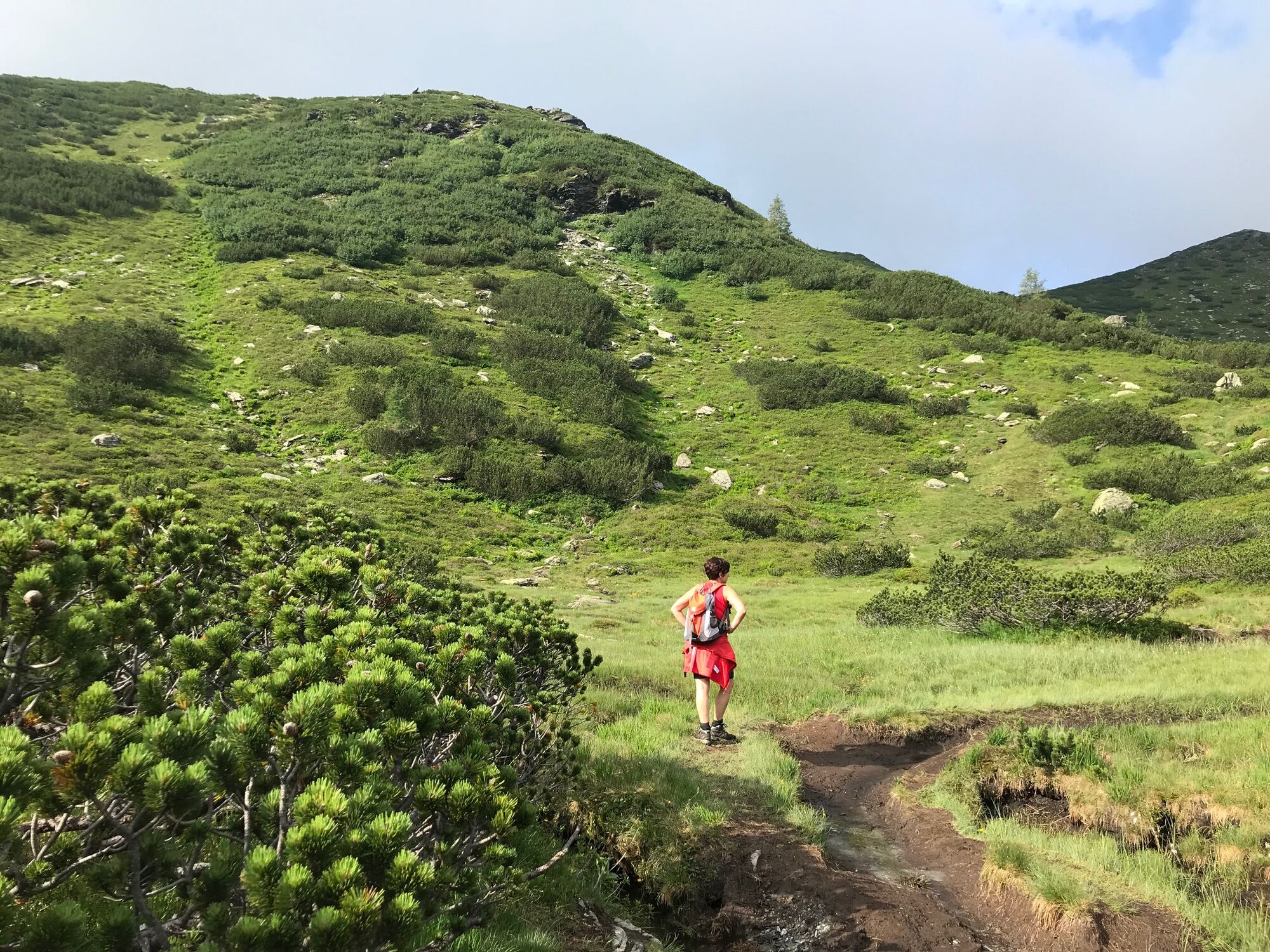
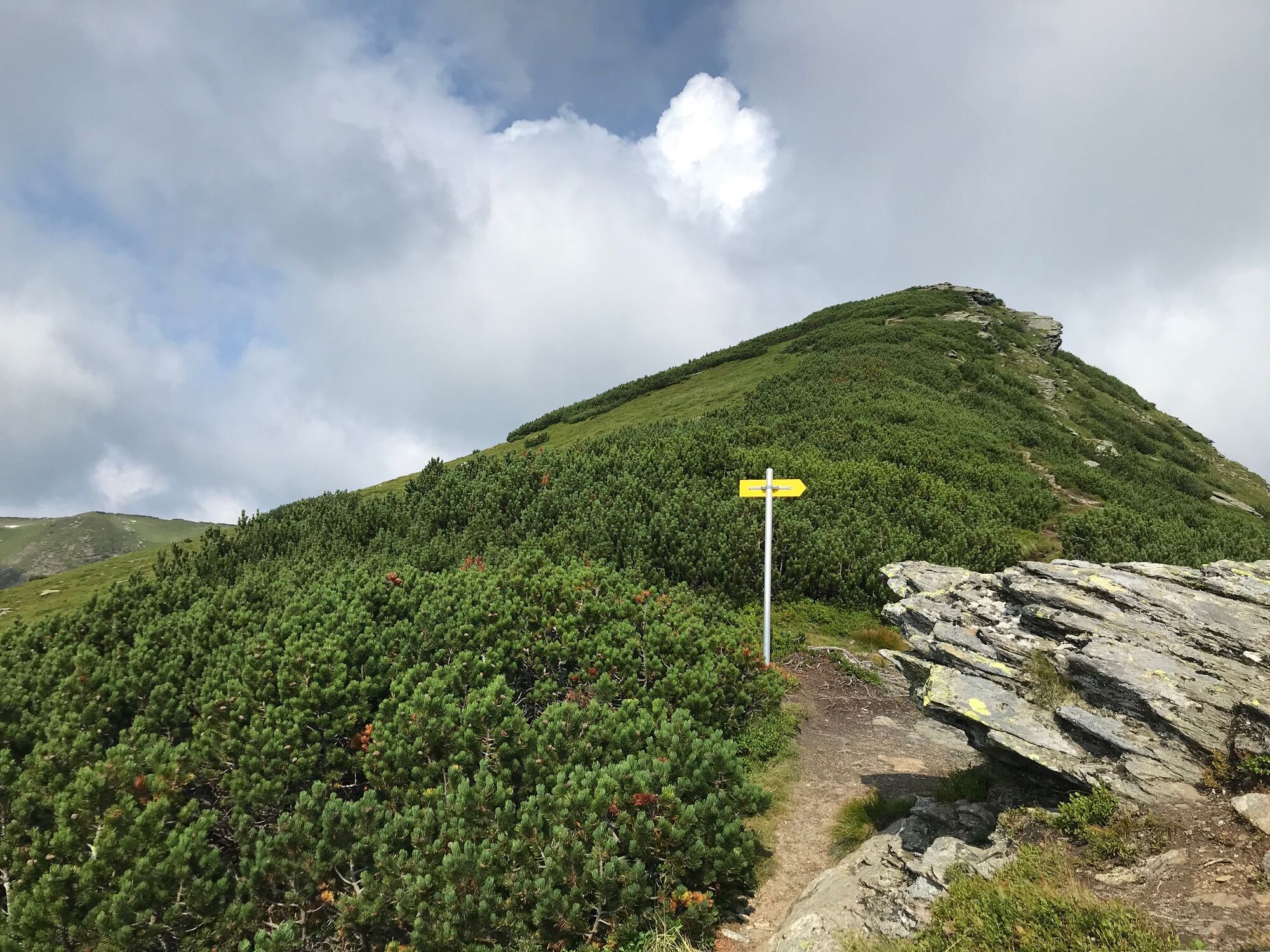
Enjoyable circuit hike from the Planneralm via Kothütten lake and along the ridge to the beloved Karlspitz peak. From there the trail goes back via the Goldbachscharte and dense mountain pine fields.
- Svårighet
-
medium
- Utvärdering
-
- Väg
-
Karlspitze (2.097 m)2,9 kmGoldbachscharte (1.960 m)4,3 km
- Bästa säsongen
-
janfebmaraprmajjunjulaugsepoktnovdec
- Högsta punkt
- 2.090 m
- Destination
-
parking area Planneralm
- Höjdprofil
-

-

-
FörfattareTurnén Ridge hike via Kothütten lake to Karlspitz används av outdooractive.com förutsatt.
GPS Downloads


Allmän information
Förfriskningsstopp
Flora
Lovande
Fler turer i regionerna