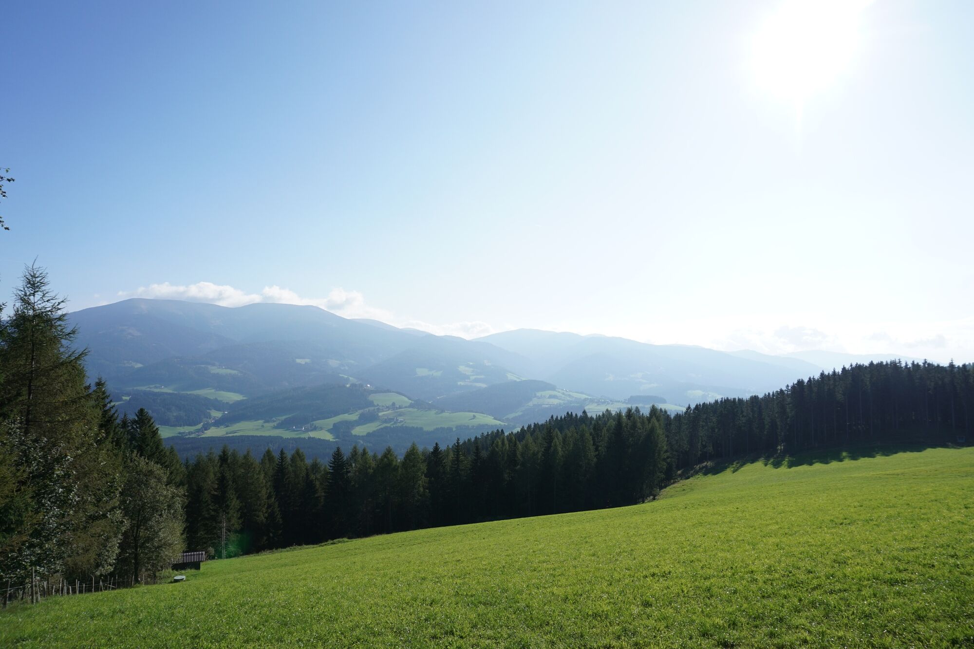
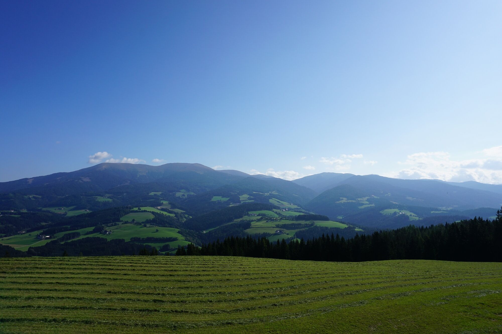
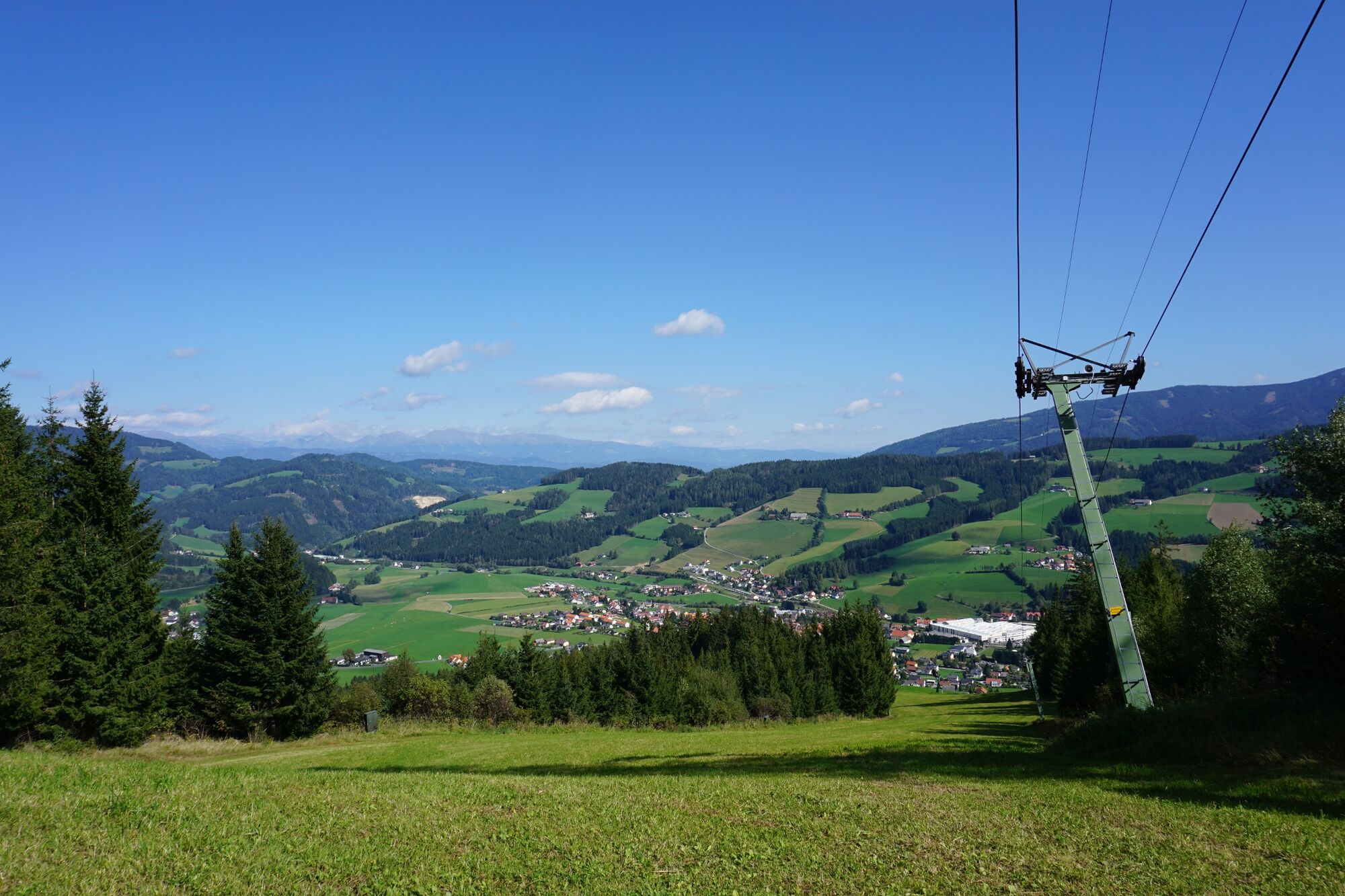
Starting from Obdach via the adventure hiking trail to the St. Anna viewing platform


© Erlebnisregion Murtal - 50plus Campingpark Fisching

© Erlebnisregion Murtal - 50plus Campingpark Fisching

© Erlebnisregion Murtal - 50plus Campingpark Fisching

© Erlebnisregion Murtal - 50plus Campingpark Fisching

© Erlebnisregion Murtal - 50plus Campingpark Fisching

© Erlebnisregion Murtal - 50plus Campingpark Fisching

© Erlebnisregion Murtal - 50plus Campingpark Fisching

© Erlebnisregion Murtal - 50plus Campingpark Fisching

© Erlebnisregion Murtal - 50plus Campingpark Fisching

© Erlebnisregion Murtal - 50plus Campingpark Fisching


- Kort beskrivning
-
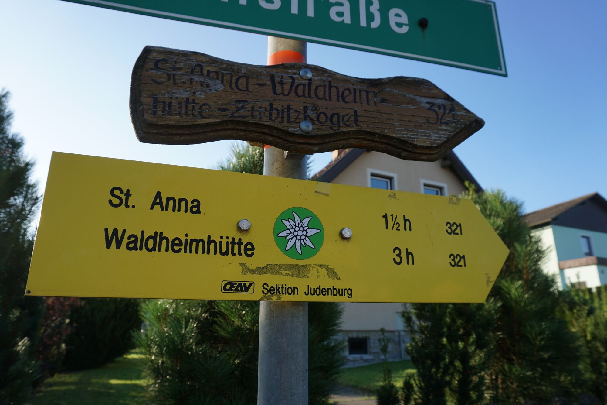
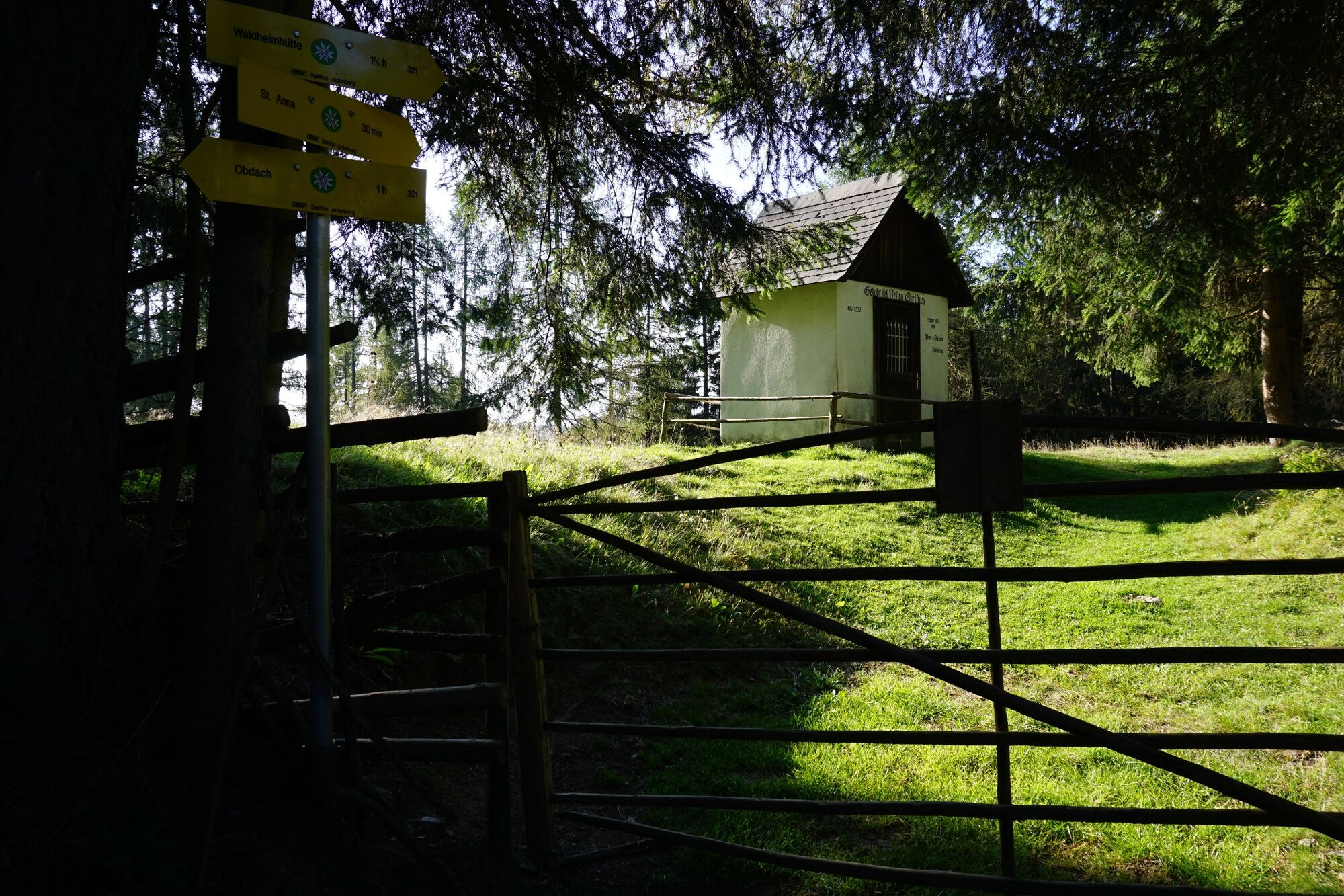
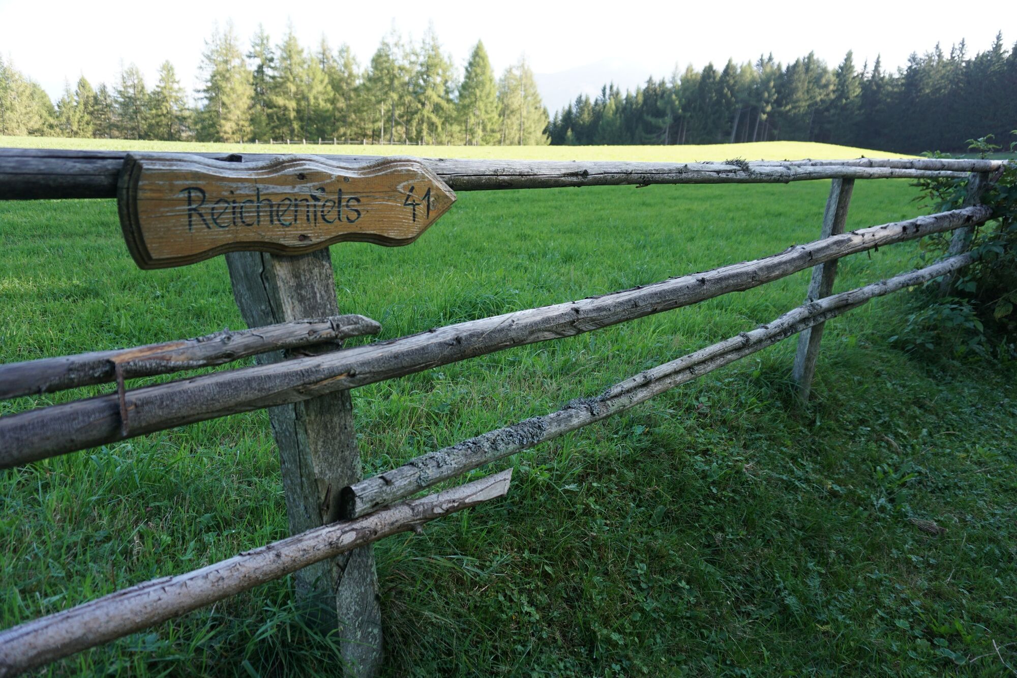
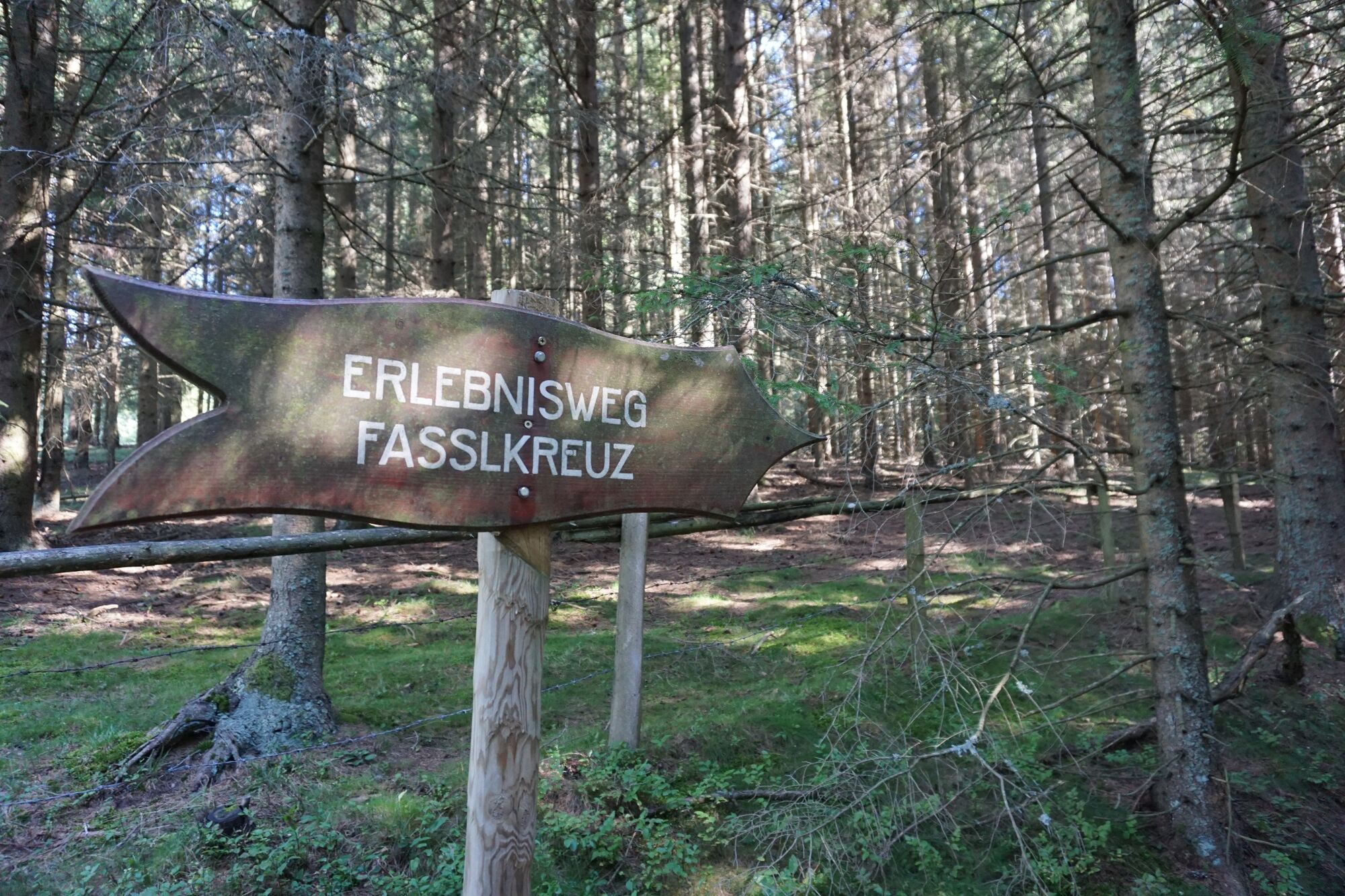
Hiking trail 321 to Fassl Kreuz. Adventure hiking trail to St. Anna. Hiking trail 41 to viewing platform and back. Hohlweg - hiking trail 321 to Fassl Kreuz. Hiking trail 3 to Obdach.
- Svårighet
-
medium
- Utvärdering
-
- Väg
-
ObdachGH Zeillinger Poco-Loco0,0 kmGasthof Rösselwirt0,0 kmPfarrkirche hll. Joachim und Anna5,0 kmSankt Anna am Lavantegg5,1 kmAussichtswarte St. Anna6,6 kmPfarrkirche hll. Joachim und Anna8,1 kmPfarrkirche St. Ägyd13,3 kmJohanneskapelle13,3 kmGasthof Rösselwirt13,8 kmObdach13,8 kmGH Zeillinger Poco-Loco13,8 km
- Bästa säsongen
-
janfebmaraprmajjunjulaugsepoktnovdec
- Högsta punkt
- 1.357 m
- Destination
-
Town center Obdach
- Höjdprofil
-


-

-
FörfattareTurnén Starting from Obdach via the adventure hiking trail to the St. Anna viewing platform används av outdooractive.com förutsatt.
GPS Downloads


Allmän information
Förfriskningsstopp
Lovande
Fler turer i regionerna
-
Erlebnisregion Murtal
1783
-
Steirisches Zirbenland
711
-
Obdach
185