© Oststeiermark Tourismus - ©WEGES

© Oststeiermark Tourismus - ©WEGES

© Oststeiermark Tourismus - WEGES

© Oststeiermark Tourismus - WEGES WEGES

© Oststeiermark Tourismus - XErlebnisregion Oststeiermark Geschäftsstelle ApfelLand-Stubenbergsee

© Tourismusverband Oststeiermark - Ewald Neffe

© Outdooractive – 3D Videos

- Kort beskrivning
-
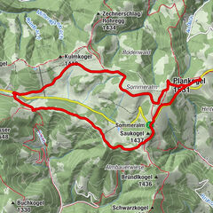
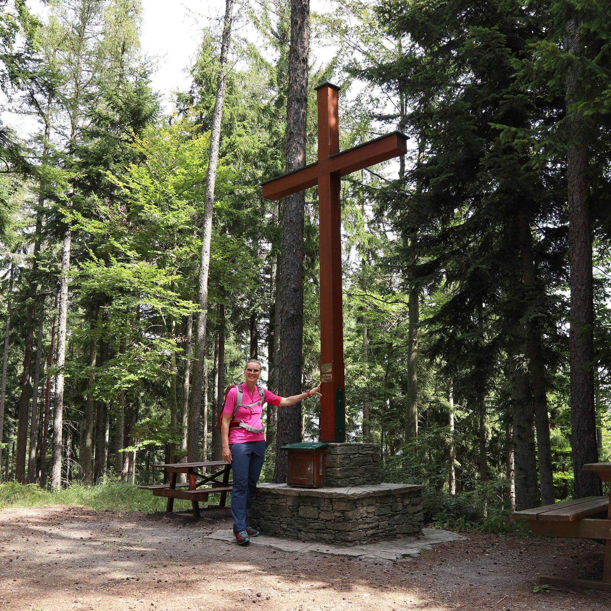
Medium-difficulty hike in the beautiful apple country up the Buchkogel
- Svårighet
-
medium
- Utvärdering
-
- Väg
-
Buchkogel (907 m)3,1 km
- Bästa säsongen
-
janfebmaraprmajjunjulaugsepoktnovdec
- Högsta punkt
- 1.012 m
- Destination
-
Transmitter at Rabenwald- Goger
- Höjdprofil
-


-

-
FörfattareTurnén Buchkogel high trail, Stubenberg används av outdooractive.com förutsatt.
GPS Downloads


Fler turer i regionerna
-
Oststeiermark
2126
-
ApfelLand - Stubenbergsee
1140
-
Stubenberg am See
321