© Steiermark Tourismus/Harry Schiffer - Harry Schiffer

© Steiermark - Das Grüne Herz

© TV Lipizzanerheimat/Eva Unterhuber - Eva Unterhuber

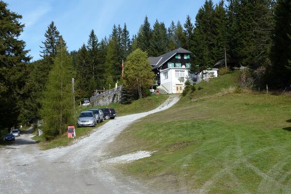
© Gemeinde Hirschegg

© TV Lipizzanerheimat - Enrico Caracciolo

© Region Graz - TV Lipizzanerheimt/EU

© TV Lipizzanerheimat - Willi Fuchs

© Region Graz - TV Lipizzanerheimat_EU

© Region Graz - TV Lipizzanerheimat/EU

© Region Graz - TV Lipizzanerheimat/EU

- Kort beskrivning
-
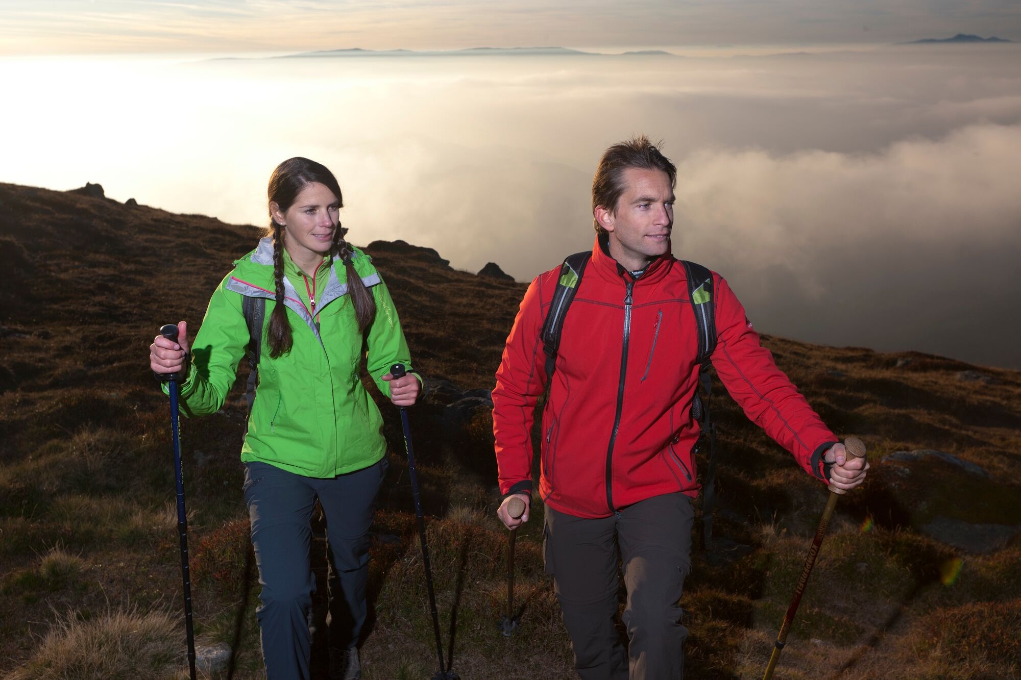
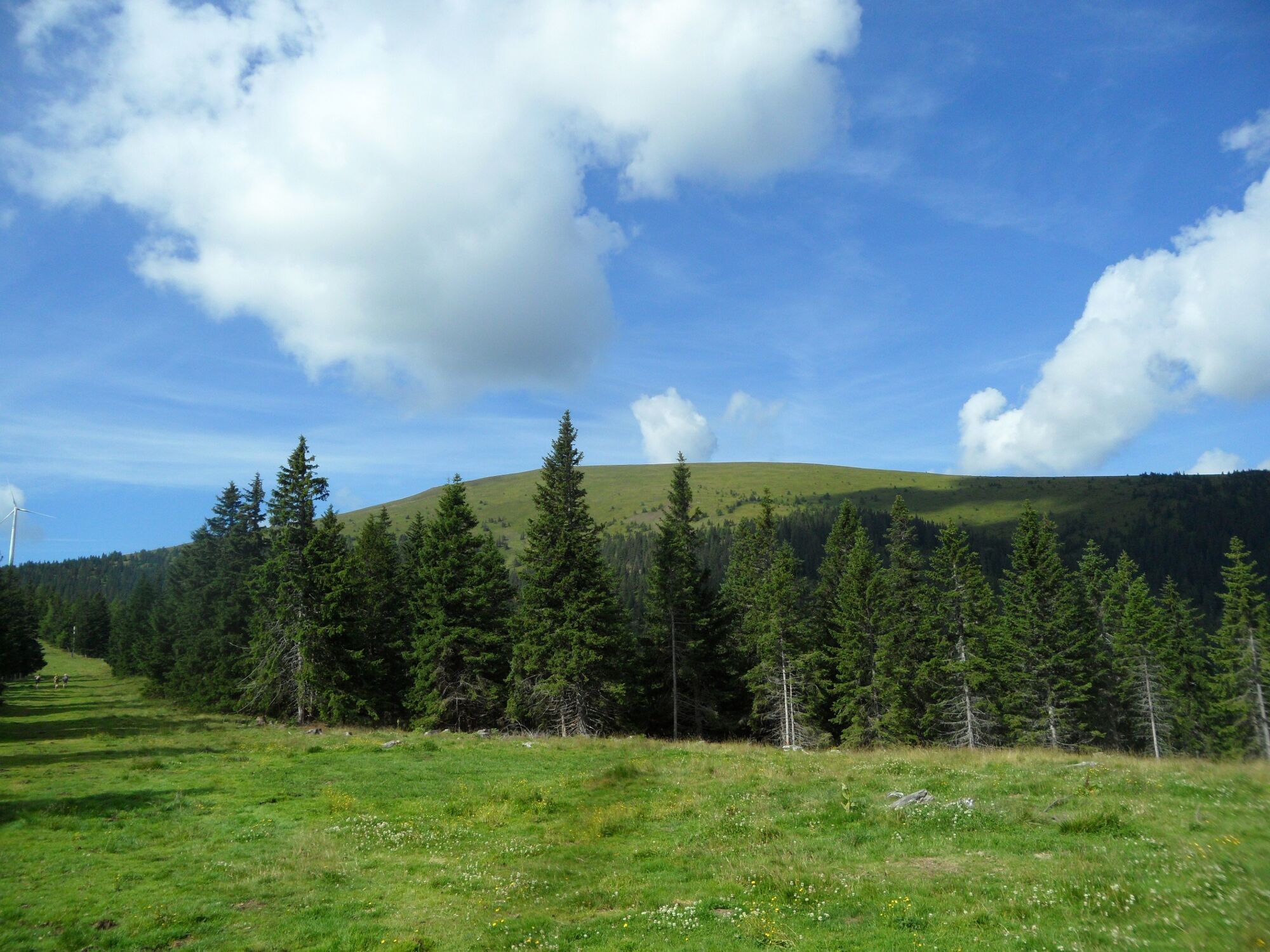
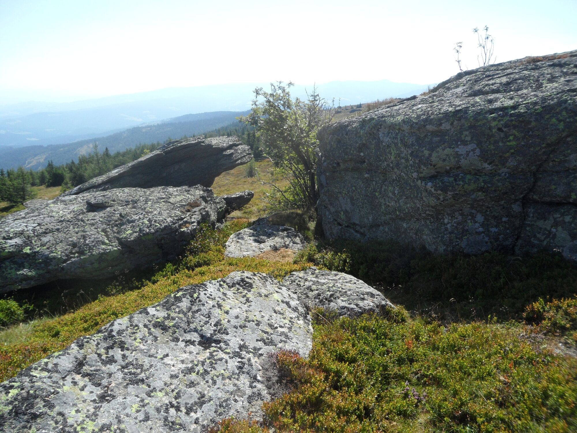
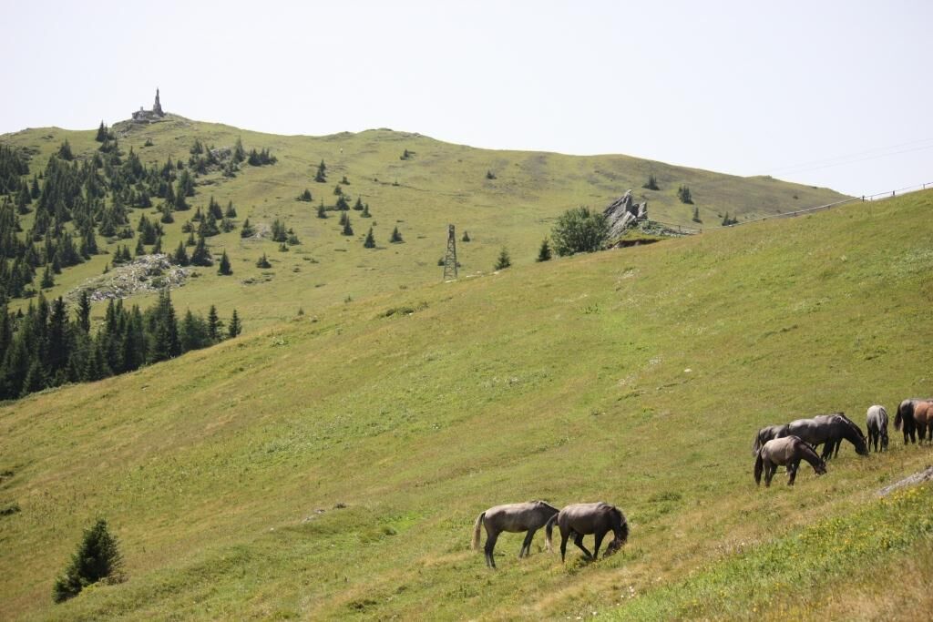
A panoramic, long high-altitude hike, which, however, offers small differences in altitude. This and the next stage of the hiking route "From glacier to wine" represent the transition from the alpine region to the wine country of Styria. Initially still over wide alpine pastures on the way, we dive nice and slowly, but nevertheless, into the wine country.
- Svårighet
-
medium
- Utvärdering
-
- Väg
-
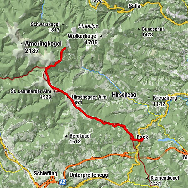
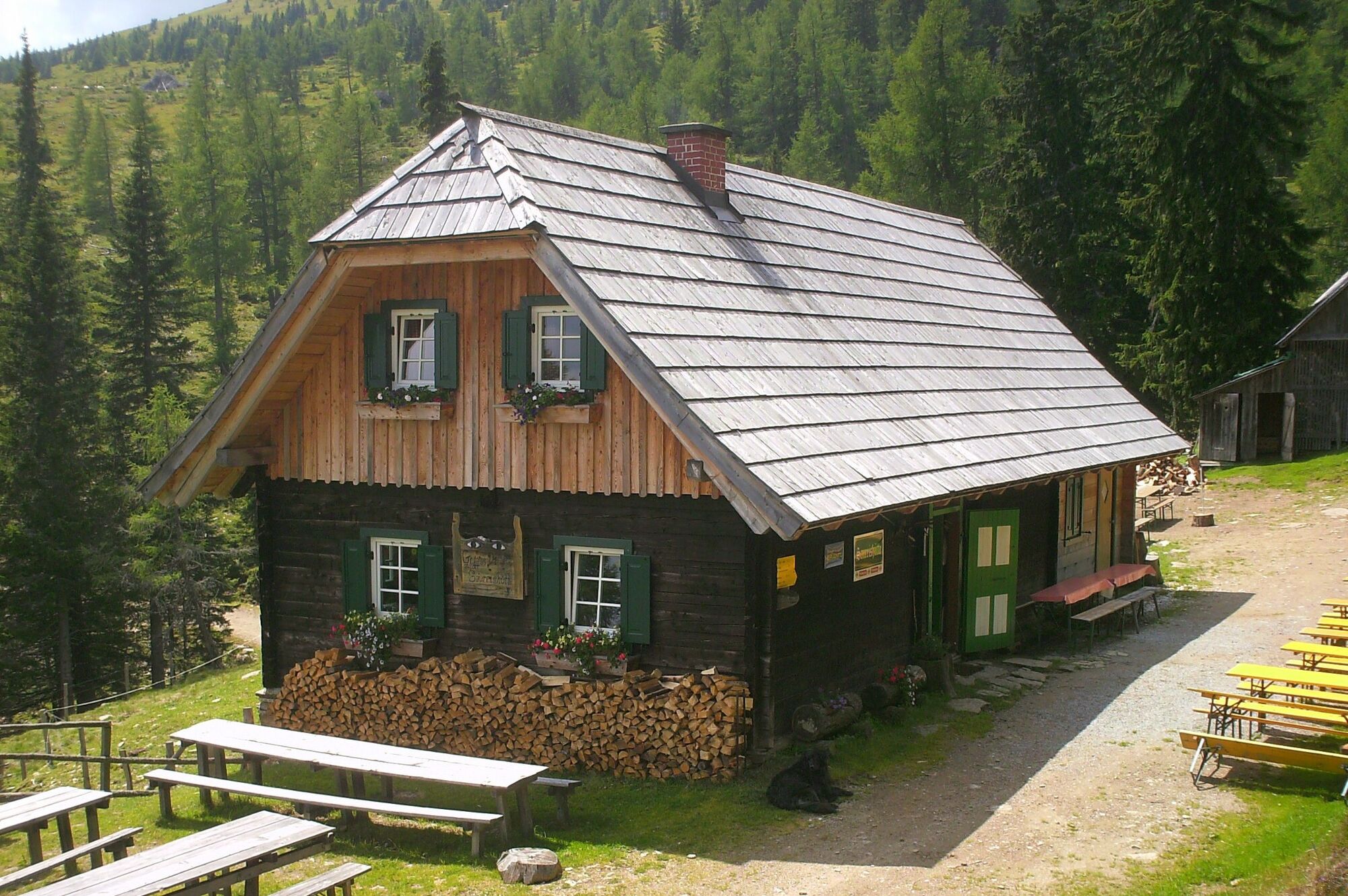
Salzstiegelhaus0,0 kmPeterer Sattel (1.745 m)3,5 kmHirschegger Alm (1.871 m)7,9 kmBernsteinhütte11,9 kmKnödelhütte14,3 kmSamerkreuz18,3 kmPack18,9 kmPfarrkirche hl. Martin19,0 km
- Bästa säsongen
-
janfebmaraprmajjunjulaugsepoktnovdec
- Högsta punkt
- 1.877 m
- Destination
-
Pack
- Höjdprofil
-


-

-
FörfattareTurnén Stage 16 From Glacier to Wine South Route Salzstiegl - Pack används av outdooractive.com förutsatt.
GPS Downloads


Allmän information
Flora
Fauna
Lovande
Fler turer i regionerna
-
Erlebnisregion Murtal
1783
-
Lavanttal
610
-
Hirschegg-Pack
245