© Weges

© Oststeiermark Tourismus
- Kort beskrivning
-
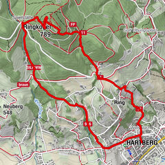
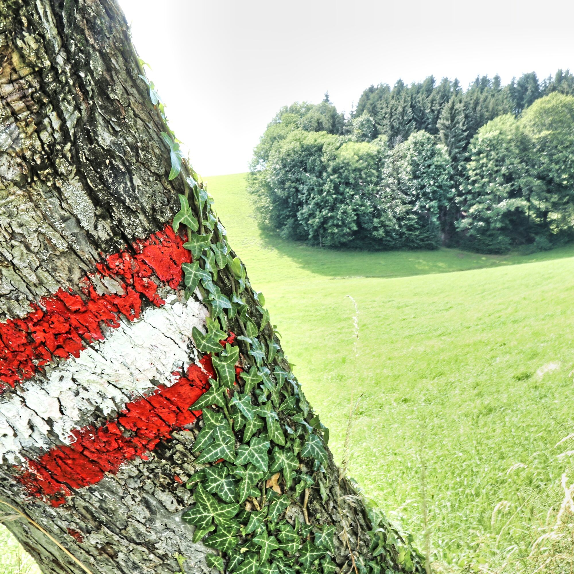
9.5 km long trail marked in blue and white that leads via the "Kreuzstein" and the venue to Neuberg Castle. You return along the southern slope of the Ringkogel with a beautiful view of Hartberg. The Buschenschank Pack and the Berghof Schreiner are ideal rest stops along the way.
- Svårighet
-
medium
- Utvärdering
-
- Väg
-
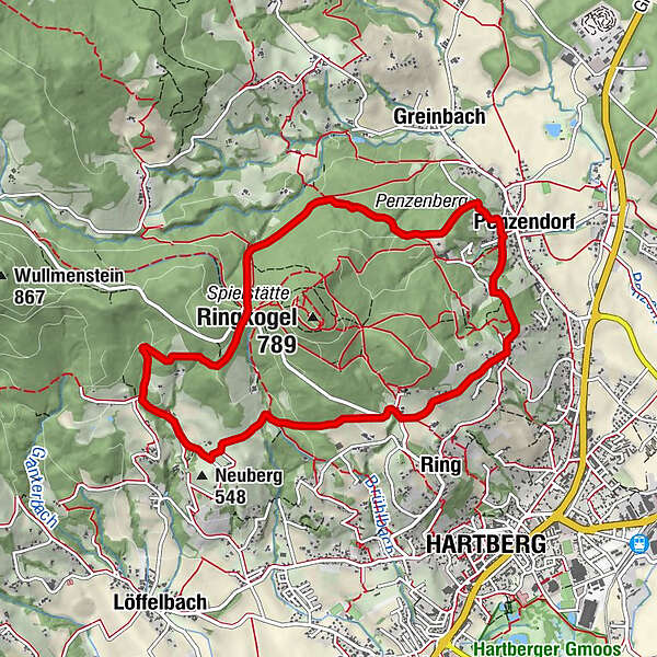
Penzendorf0,0 kmDorfkapelle0,1 kmRing2,0 kmNeuberg3,8 kmBadewanne5,1 kmSt. Hubertus Kapelle6,3 kmPenzendorf9,2 km
- Bästa säsongen
-
janfebmaraprmajjunjulaugsepoktnovdec
- Högsta punkt
- 689 m
- Destination
-
Greinbach, municipal office
- Höjdprofil
-

- Författare
-
Turnén Penzendorfweg 2, Penzendorf används av outdooractive.com förutsatt.
GPS Downloads


Fler turer i regionerna
-
Thermen- & Vulkanland
1324
-
Hartbergerland
826
-
Greinbach
209