© www.wisthaler.com - Harald Wisthaler - www.wisthaler.com - Harald Wisth
Datum för turné
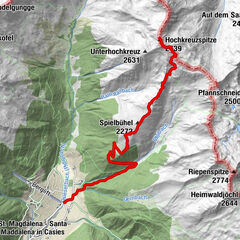
10,17km
1.231
- 2.620m
1.392hm
1.392hm
05:00h
- Kort beskrivning
-
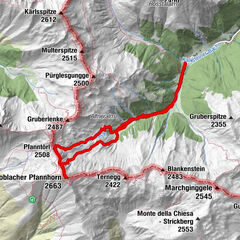
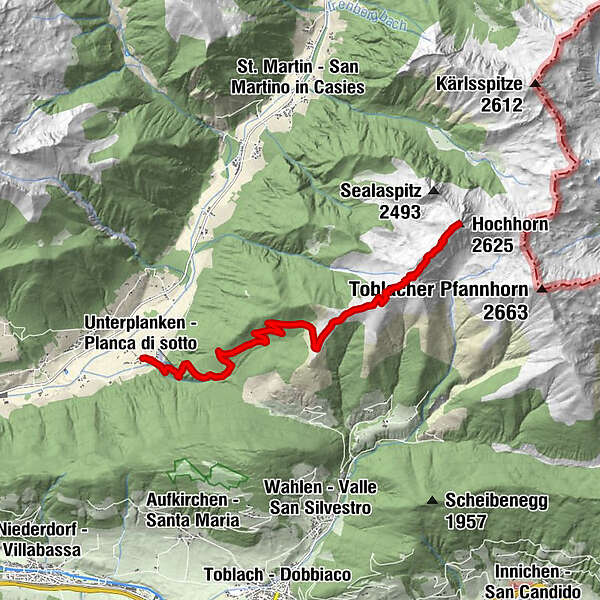
From Unterplanken across to the Schuher Alm, and from the Golfen all the way to the Hochhorn
Starting point & parking: Unterplanken in Pichl in the Gsieser Valley 1213 m
Descent: back via the ascent route
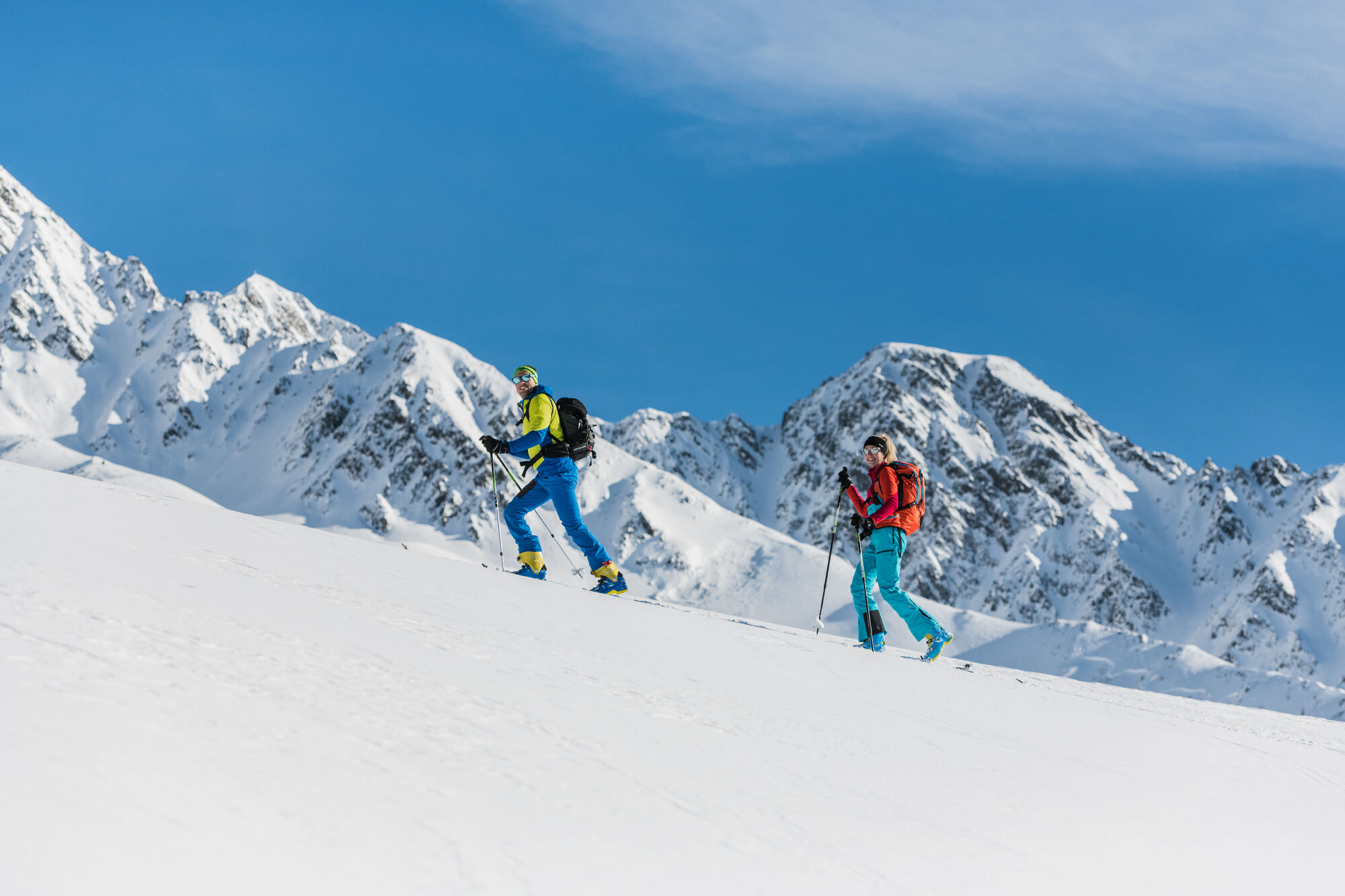
Hiking time: ca. 5 hours
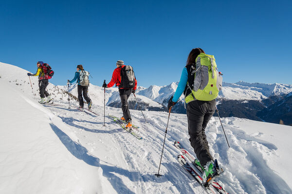
Level of difficulty: moderate – difficult; for average skiers, open terrain with moderate slope gradient, minor technical difficulties
Altitude difference: 1400 m
Slope exposure: southwest
Best period: December till March - Svårighet
-
medium
- Utvärdering
-
- Väg
-
UnterplankenGolfen (2.469 m)8,8 kmHochhorn (2.625 m)10,1 km
- Bästa säsongen
-
augsepoktnovdecjanfebmaraprmajjunjul
- Högsta punkt
- 2.620 m
- Exposition
GPS Downloads


Fler turer i regionerna