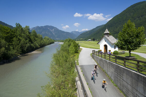
© Euregio Radgruppe - SalzburgerLand, Chiemgau, Chiemsee-Alpenland, Berchtesgadener Land - ©Bernhard Bergmann

© Euregio Radgruppe - SalzburgerLand, Chiemgau, Chiemsee-Alpenland, Berchtesgadener Land - ©Bernhard Bergmann

Datum för turné
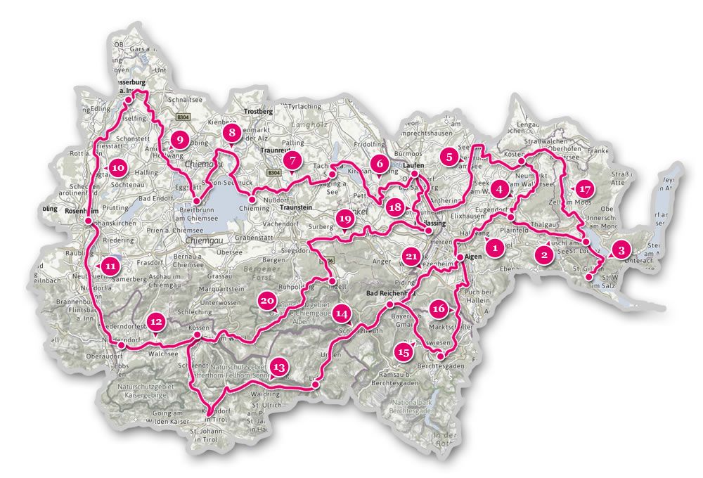
50,13km
589
- 785m
462hm
436hm
03:58h

- Kort beskrivning
-
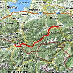
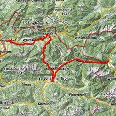
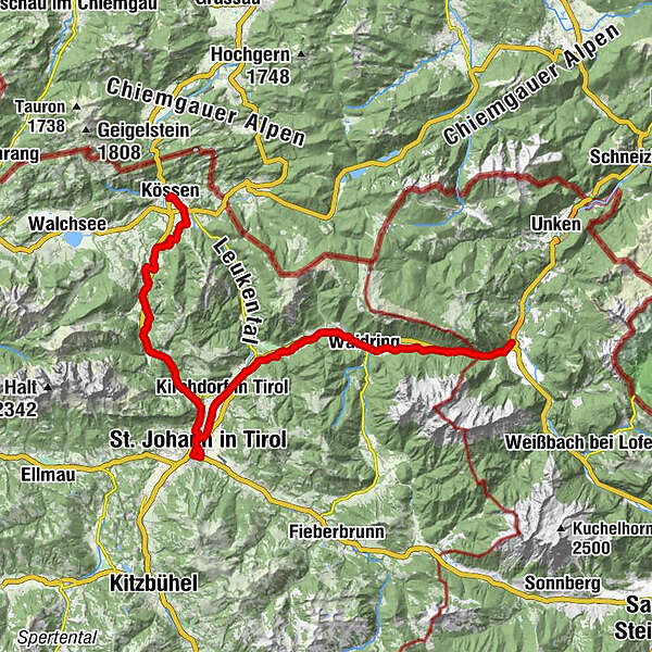
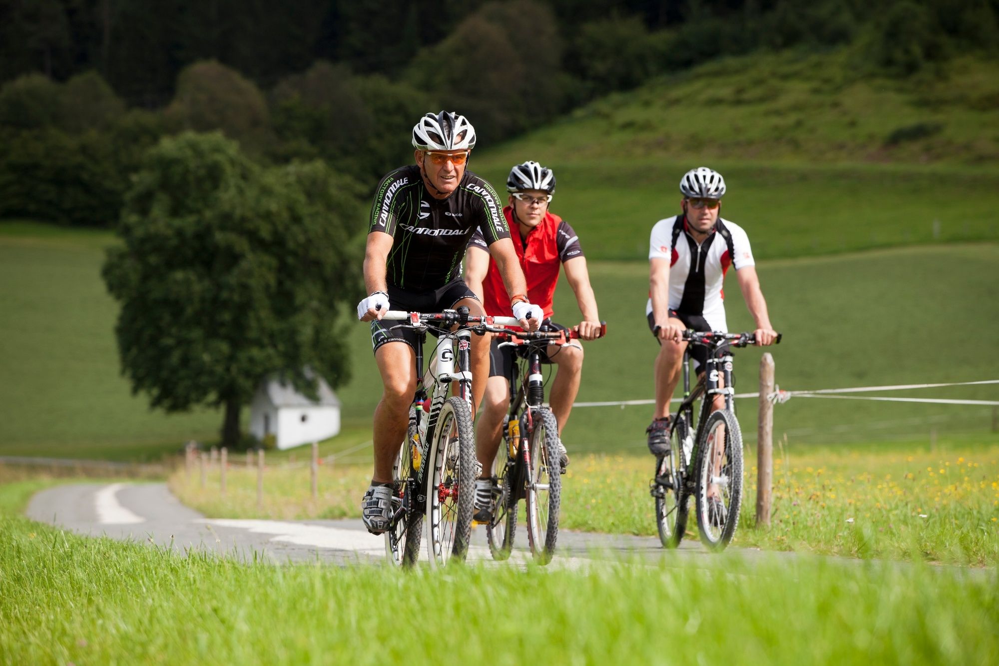
At an altitude of almost 600 metres, this is the most ‘mountainous’ stage of the entire Mozart cycle path. The appeal of this charming landscape of the Kohlen valley and later the Strub valley is therefore even greater for us. In the Achental valley, it is worth considering taking a detour to St. Johann in Tirol. The last part leads through the Strubtal valley, wildly romantic to Lofer and thus back into the Salzburger Land.
- Svårighet
-
medium
- Utvärdering
-
- Väg
-
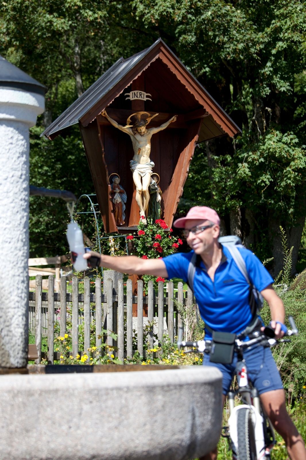
Heiliger Petrus und Paulus0,1 kmKössen0,2 kmHütte1,5 kmThurnbichl1,9 kmKaiseralm2,7 kmCampino2,7 kmLucknerhof3,9 kmBrand5,6 kmRocco (702 m)5,7 kmMairwirt6,5 kmSchwendterwirt6,6 kmSchwendt6,6 kmCafe Restaurant Anneliese6,8 kmFischbach7,1 kmMühlau7,6 kmBichlkapelle9,6 kmKohlental10,5 kmGasthof Griesenau13,9 kmGriesenau13,9 kmTeufelskapelle14,9 kmRupertsau15,6 kmGut Kramerhof17,0 kmMitterjager17,3 kmGasteig17,3 kmNarzen20,8 kmSt. Johann in Tirol22,7 kmPfarrkirche22,8 kmAntoniuskapelle22,9 kmWeberhäusl23,2 kmBruggbäck23,2 kmSchwarzenbacher23,3 kmKirchdorf in Tirol27,8 kmErpfendorf31,0 kmFilialkirche Erpfendorf31,0 kmEnthgries36,2 kmHausergasse37,0 kmAuergasse37,8 kmWaidring39,5 kmGasthof zur Post39,5 kmUnterwasser41,0 kmPension Strub44,1 kmStrub44,1 kmPfarrkirche Hll Maria und Leonhard50,1 kmLofer50,1 km
- Bästa säsongen
-
janfebmaraprmajjunjulaugsepoktnovdec
- Högsta punkt
- 785 m
- Destination
-
Lofer
- Höjdprofil
-

- Författare
-
Turnén Mozart Cycle Path – Stage 13: Kössen – Lofer används av outdooractive.com förutsatt.
GPS Downloads


Allmän information
Förfriskningsstopp
Flora
Lovande
Fler turer i regionerna