- Kort beskrivning
-
Attention:
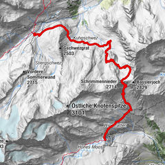
The original route of stage 5 is currently not accessible due to a mudslide between Sahnestüberl and Obergurgl.
There is a local detour through the Timmelstal to the Top Mountain Crosspoint in Hochgurgl. The stage destination Obergurgl can be easily reached from Hochgurgl by bus (attention: downhill 8x daily) or by foot (via the hiking trail in the direction of Pillersee, walking time approx. 2 hours).
As an alternative, you can ride the bus from the bus stop across the Sahnestüberl to the bus stop at the Hochgurglbahn and get back on the Ötztaler Urweg towards Obergurgl above the valley station.
The current bus timetable is available at www.vvt.at
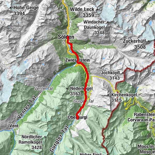
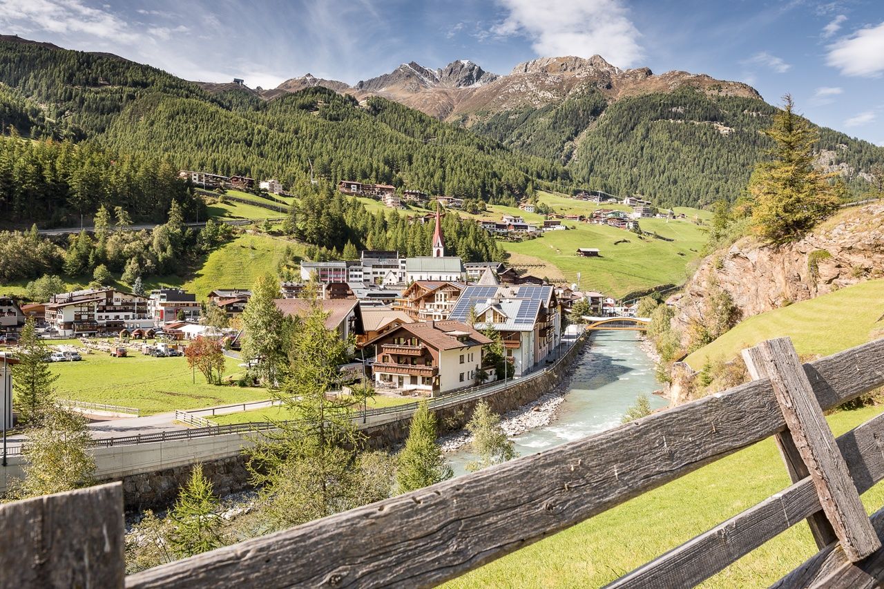
STAGE 5:
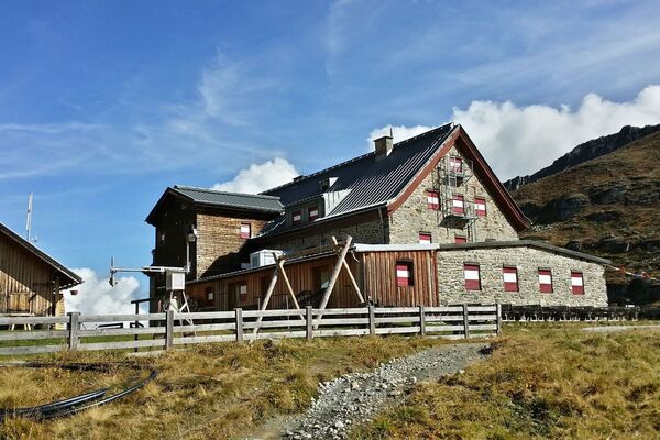
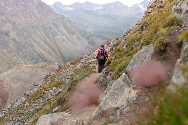
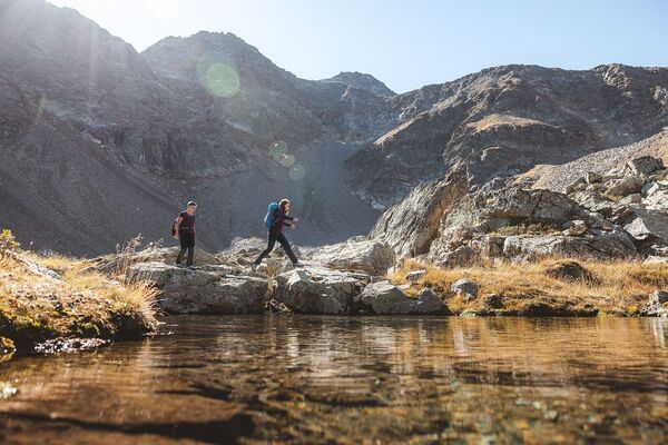
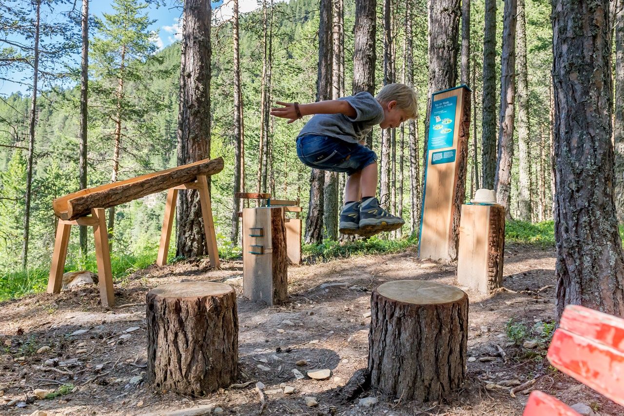
SÖLDEN –> Adventure Mile –> Windach Ache –> Mooserstegle –> Moos Alm –> Kühtrainschlucht –> Zwieselstein –> Sahnestüberl –> OBERGURGL
- Svårighet
-
medium
- Utvärdering
-
- Väg
-
Sölden (1.368 m)0,2 kmPlatte2,2 kmWildmoos2,5 kmGasthof Zwieselstein4,2 kmZwieselstein (1.470 m)4,4 kmSahnestüberl8,0 kmPill (556 m)10,1 kmUntergurgl10,9 kmHl. Johannes Nepomuk14,3 kmObergurgl (1.907 m)14,3 km
- Bästa säsongen
-
janfebmaraprmajjunjulaugsepoktnovdec
- Högsta punkt
- 1.903 m
- Destination
-
Obergurgl
- Höjdprofil
-


- Författare
-
Turnén Ötztaler Urweg E5 Sölden - Obergurgl används av outdooractive.com förutsatt.


-
Meraner Land
1737
-
Ötztal
1111
-
Obergurgl - Hochgurgl
282