

© Tourismusverband Region Hall-Wattens - Hall Wattens
- Kort beskrivning
-
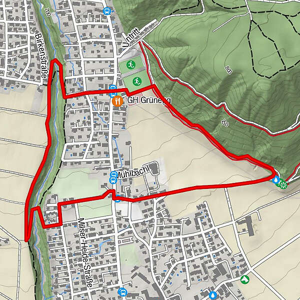
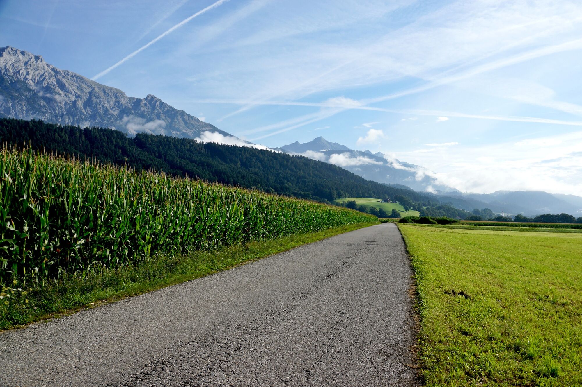
This ideal beginners’ route starts off along the nice and even hiking trail toward Baumkirchen and continues around Weissenbach Brook, which has its source in the Halltal Valley
- Svårighet
-
lätt
- Utvärdering
-
- Väg
-
Hall in Tirol (574 m)2,2 km
- Bästa säsongen
-
janfebmaraprmajjunjulaugsepoktnovdec
- Högsta punkt
- 691 m
- Destination
-
Mils Sportplatz
- Höjdprofil
-

- Författare
-
Turnén Weissenbach circuit används av outdooractive.com förutsatt.
GPS Downloads


Allmän information
Lovande
Fler turer i regionerna